Coillemore
Settlement in Buteshire
Scotland
Coillemore
Coillemore is a picturesque coastal village located in the region of Buteshire, Scotland. Situated on the western shores of the Isle of Bute, this charming settlement offers a serene and idyllic retreat for residents and visitors alike.
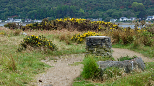
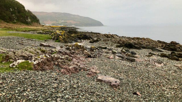
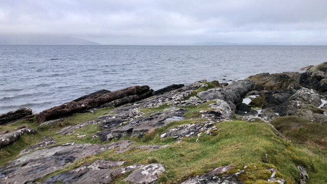
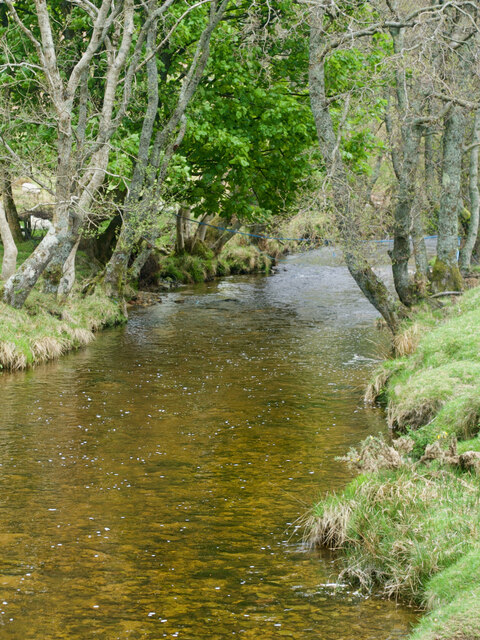
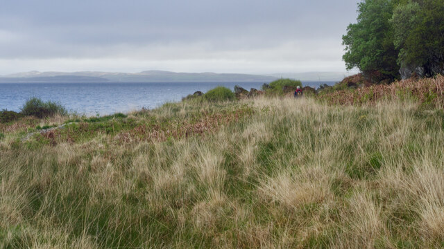
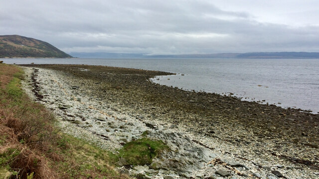
Surrounded by breathtaking natural beauty, Coillemore boasts stunning views of the rugged coastline, with the shimmering waters of the Firth of Clyde stretching out before it. The village is nestled amidst rolling hills and lush green landscapes, providing a peaceful and tranquil setting for those seeking a break from the hustle and bustle of city life.
Coillemore is known for its strong sense of community, with friendly locals who warmly welcome visitors. The village is home to a small but thriving population, with a range of amenities to cater to their needs. These include a local grocery store, a post office, and a charming village pub, where locals and visitors can gather to enjoy a traditional Scottish meal or a pint of local ale.
For outdoor enthusiasts, Coillemore offers a wealth of recreational activities. The surrounding area is ideal for hiking and walking, with numerous trails that showcase the striking beauty of the Scottish countryside. Additionally, the village is renowned for its excellent fishing opportunities, attracting anglers from far and wide.
With its stunning coastal scenery, close-knit community, and abundance of outdoor activities, Coillemore is a hidden gem within Buteshire. Whether seeking relaxation, adventure, or a deeper connection with nature, this charming village has something to offer everyone.
If you have any feedback on the listing, please let us know in the comments section below.
Coillemore Images
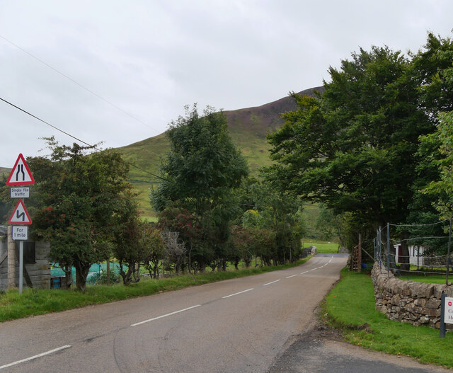
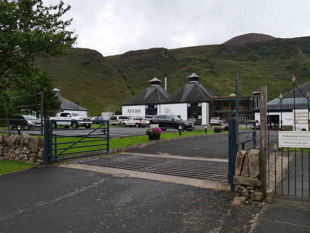
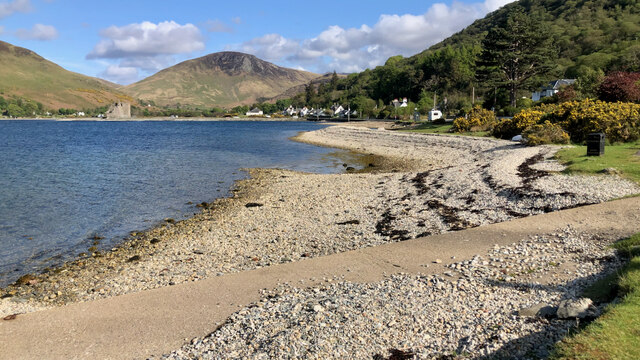
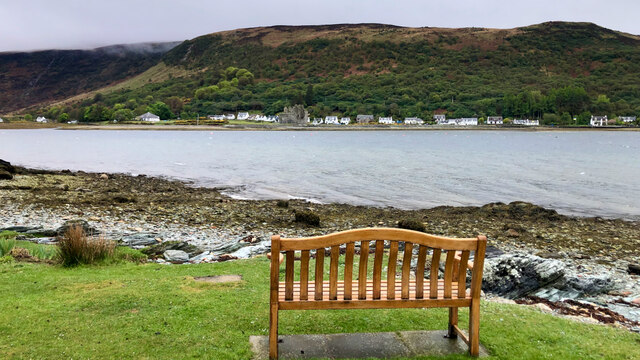
Images are sourced within 2km of 55.707198/-5.3001262 or Grid Reference NR9250. Thanks to Geograph Open Source API. All images are credited.


Coillemore is located at Grid Ref: NR9250 (Lat: 55.707198, Lng: -5.3001262)
Unitary Authority: North Ayrshire
Police Authority: Ayrshire
What 3 Words
///invest.simmer.drive. Near Lochranza, North Ayrshire
Nearby Locations
Related Wikis

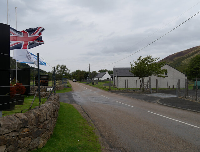
Lochranza
Lochranza (Scottish Gaelic: Loch Raonasa) is a village located on the Isle of Arran in the Firth of Clyde, Scotland. The population, somewhat in decline...

Lochranza Castle
Lochranza Castle is an L-plan fortified tower house situated on a promontory in Lochranza, on the northern part of the Isle of Arran in Scotland. Most...

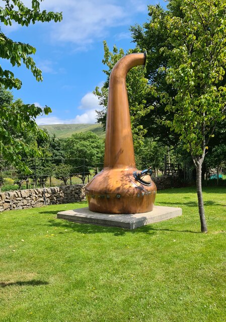
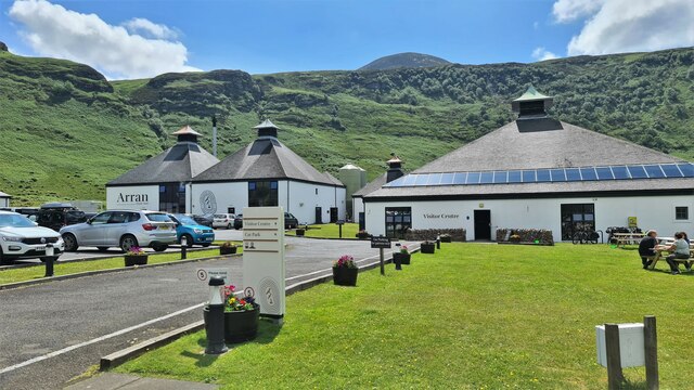
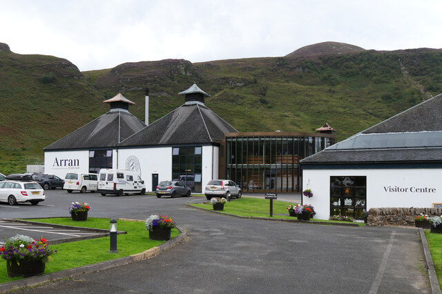
Arran distillery
Arran distillery is a whisky distillery in Lochranza, Scotland, Isle of Arran. In 1994 Arran Distillers was founded by Harold Currie, former director of...

Catacol
Catacol (Scottish Gaelic: Catagal) is a small village on the Isle of Arran, Scotland. == Geography == Catacol is located on the north west side of the...
Nearby Amenities
Located within 500m of 55.707198,-5.3001262Have you been to Coillemore?
Leave your review of Coillemore below (or comments, questions and feedback).