Coillemore Point
Coastal Feature, Headland, Point in Buteshire
Scotland
Coillemore Point

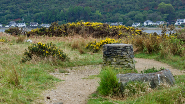
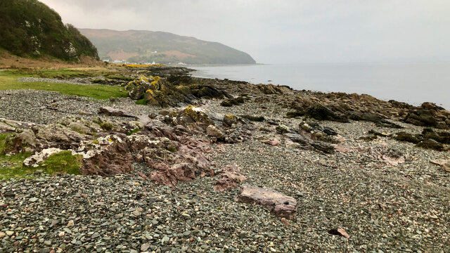
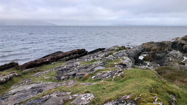
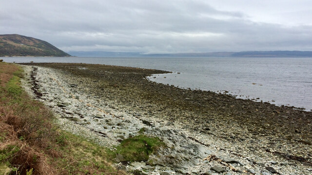
Coillemore Point is a prominent coastal feature located in the region of Buteshire, Scotland. It is a picturesque headland that extends into the Firth of Clyde, offering breathtaking views of the surrounding landscape. With a rugged and rocky terrain, the point is a popular attraction for tourists and nature enthusiasts alike.
Situated at approximately 55° 48' 12" N latitude and 05° 17' 24" W longitude, Coillemore Point is characterized by its steep cliffs that rise high above the sea. These cliffs are composed of sedimentary rocks, displaying stunning layers of different colors and textures. The point is also known for its distinctive geological formations, including caves and rock arches, which have been formed over thousands of years of erosion by the powerful waves.
Coillemore Point is a haven for various bird species, providing an important nesting site for seabirds such as guillemots, puffins, and razorbills. The surrounding waters are teeming with marine life, offering opportunities for snorkeling and diving enthusiasts to explore the underwater ecosystem.
Access to Coillemore Point is relatively easy, with a well-maintained coastal path leading visitors to the headland. The path offers stunning panoramic views of the coastline and the nearby islands, adding to the charm of the experience.
Overall, Coillemore Point stands as a remarkable coastal feature, showcasing the rugged beauty of Scotland's coastline. Its dramatic cliffs, unique geological formations, and abundant wildlife make it a must-visit destination for those seeking to immerse themselves in the natural wonders of Buteshire.
If you have any feedback on the listing, please let us know in the comments section below.
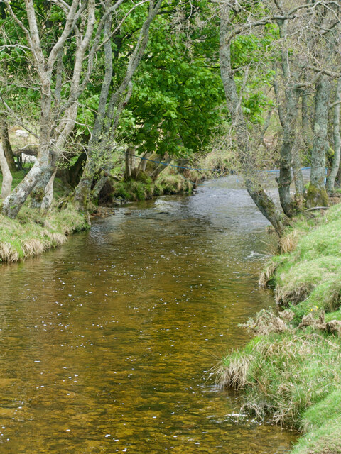
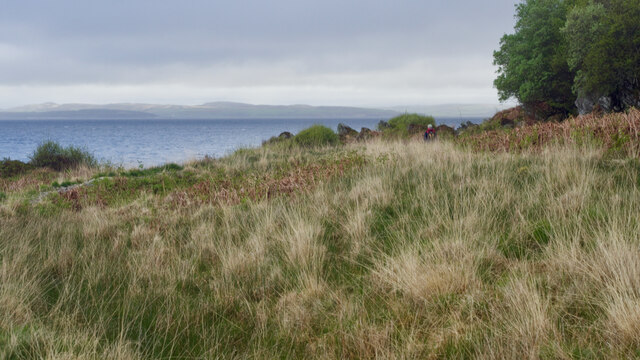
Coillemore Point Images
Images are sourced within 2km of 55.707658/-5.3020917 or Grid Reference NR9250. Thanks to Geograph Open Source API. All images are credited.


Coillemore Point is located at Grid Ref: NR9250 (Lat: 55.707658, Lng: -5.3020917)
Unitary Authority: North Ayrshire
Police Authority: Ayrshire
What 3 Words
///pines.enclosing.happening. Near Lochranza, North Ayrshire
Nearby Locations
Related Wikis

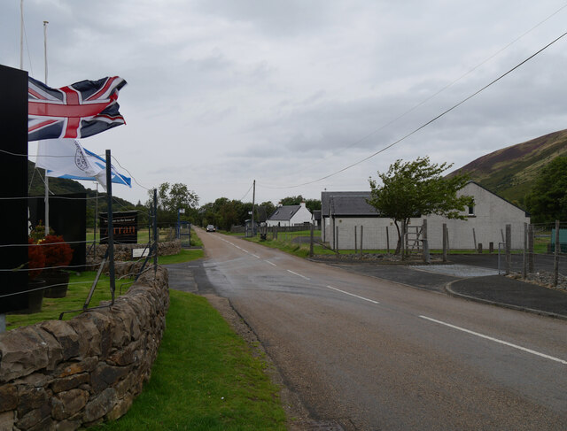
Lochranza
Lochranza (Scottish Gaelic: Loch Raonasa) is a village located on the Isle of Arran in the Firth of Clyde, Scotland. The population, somewhat in decline...

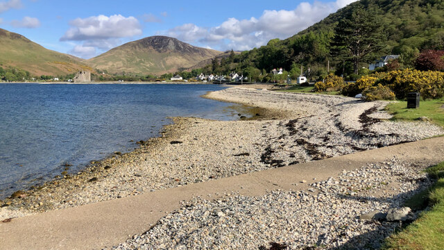
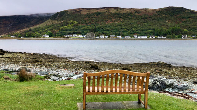
Lochranza Castle
Lochranza Castle is an L-plan fortified tower house situated on a promontory in Lochranza, on the northern part of the Isle of Arran in Scotland. Most...

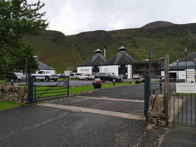
Arran distillery
Arran distillery is a whisky distillery in Lochranza, Scotland, Isle of Arran. In 1994 Arran Distillers was founded by Harold Currie, former director of...

Catacol
Catacol (Scottish Gaelic: Catagal) is a small village on the Isle of Arran, Scotland. == Geography == Catacol is located on the north west side of the...

HMS Vandal
HMS Vandal (P64) was a Royal Navy U-class submarine built by Vickers-Armstrong at Barrow-in-Furness, yard number 838. The submarine had the shortest career...

Catacol Bay
Catacol Bay (Scottish Gaelic: Catagal bhàigh) is a small shallow-curved tidal, 310° facing, rocky coastal embayment located on the northwest tip of the...

Torr Meadhonach
Torr Meadhonach is a hill 332 metres (1,089 ft) high at the northernmost part of the Isle of Arran in western Scotland, east of the village of Lochranza...

Creag Ghlas Laggan
Creag Ghlas Laggan (also known as Fionn Bhealach) is a hill on the Isle of Arran in south-western Scotland. It is the highest point of the seven-mile-long...
Nearby Amenities
Located within 500m of 55.707658,-5.3020917Have you been to Coillemore Point?
Leave your review of Coillemore Point below (or comments, questions and feedback).