Cobblers Corner

Settlement in Suffolk Babergh

England

Cobblers Corner

Lower Layham - looking towards the church
Lower Layham - looking towards the church Credit: Chris Holifield

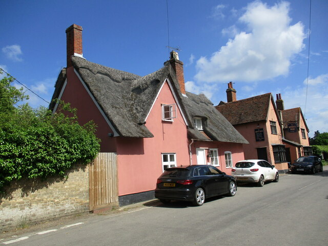
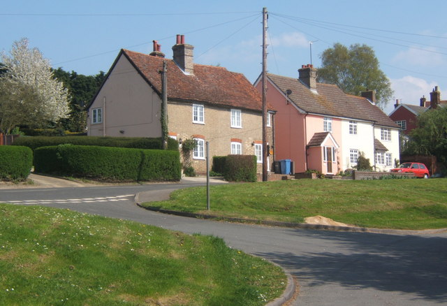
Cobblers Corner is a quaint village located in the county of Suffolk, England. Situated in the eastern part of the country, it boasts a population of approximately 500 residents. The village is known for its picturesque countryside, charming cottages, and friendly community.

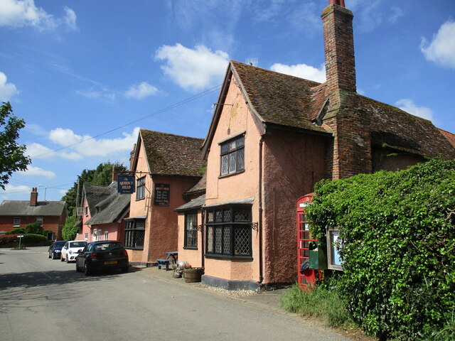
The heart of Cobblers Corner is its village square, which is surrounded by a variety of independent shops and businesses. Here, locals and visitors can find everything from a traditional bakery and a cozy tea room to a small grocery store and a family-run hardware shop. The square serves as a focal point for community gatherings and events throughout the year.

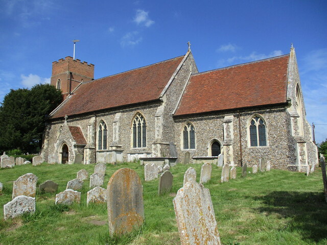
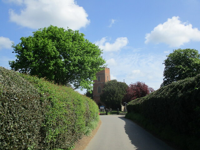
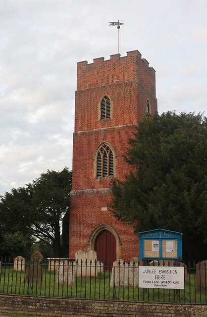
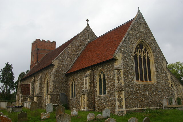
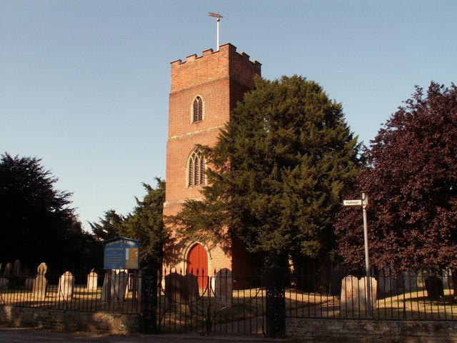
The village is also home to a historic church, St. Mary's, which dates back to the 12th century. This beautiful place of worship features intricate stained glass windows and a serene churchyard. Many visitors come to Cobblers Corner to admire the architecture and explore the church's fascinating history.

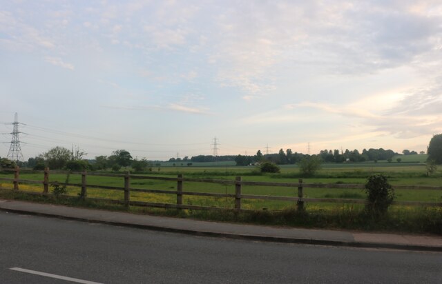
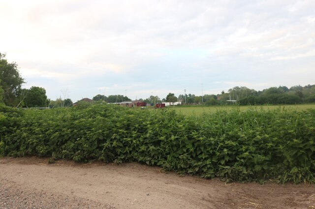
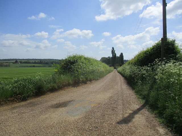
Nature enthusiasts will appreciate the surrounding countryside, which offers several walking trails and scenic views. The nearby Cobblers Woods is a popular spot for locals to enjoy a leisurely stroll or a picnic amidst the lush greenery.

Cobblers Corner is well-connected to the rest of Suffolk, with good transport links to nearby towns and cities. Its peaceful and idyllic setting makes it a desirable place to live for those seeking a quieter lifestyle away from the hustle and bustle of larger urban areas.

If you have any feedback on the listing, please let us know in the comments section below.

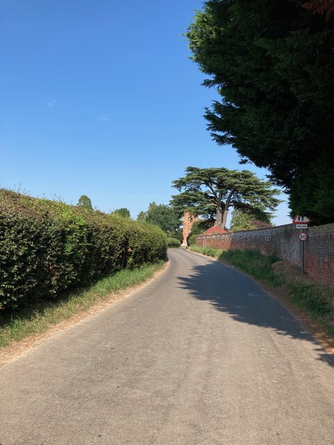
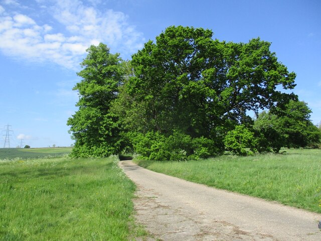
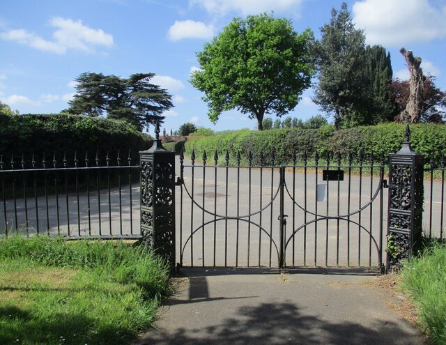
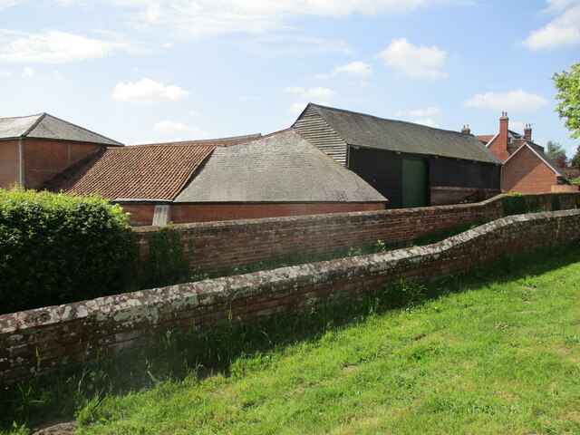
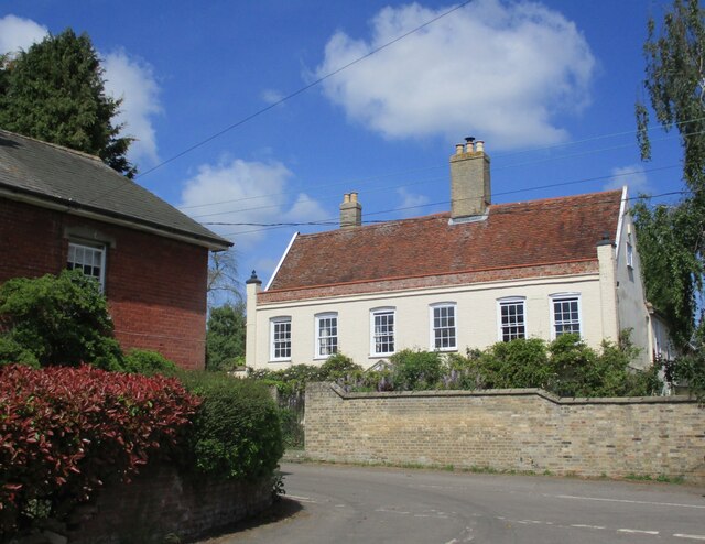
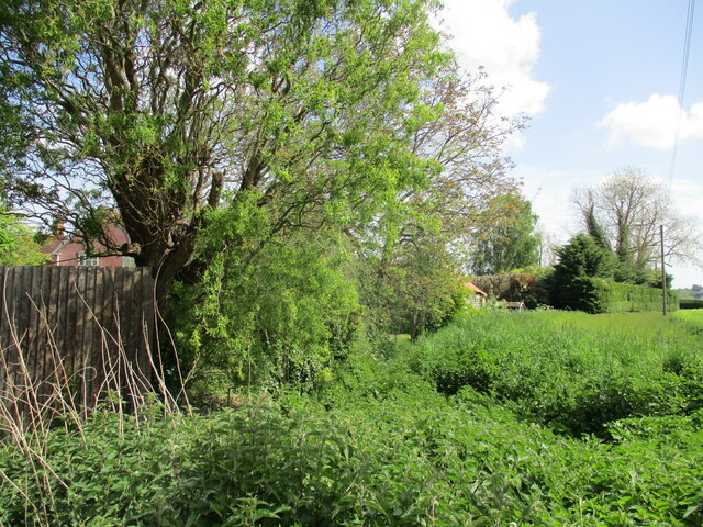
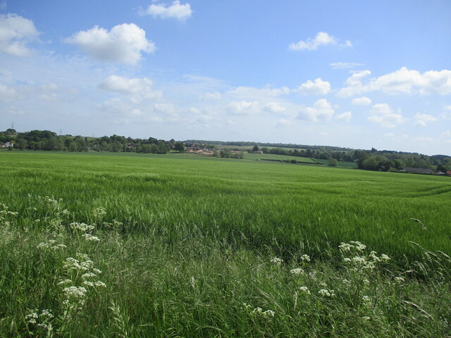
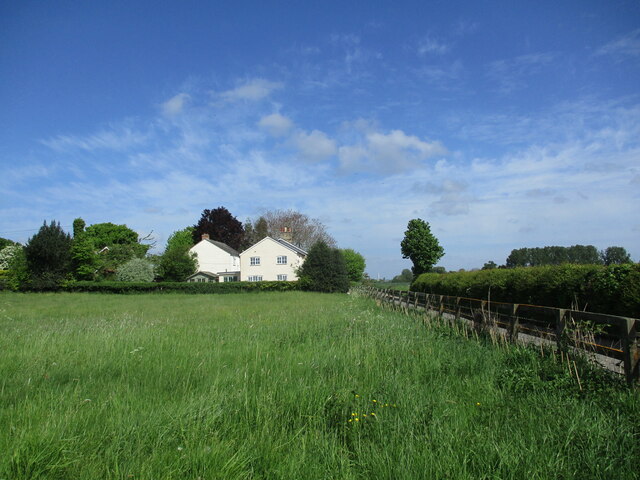
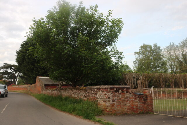
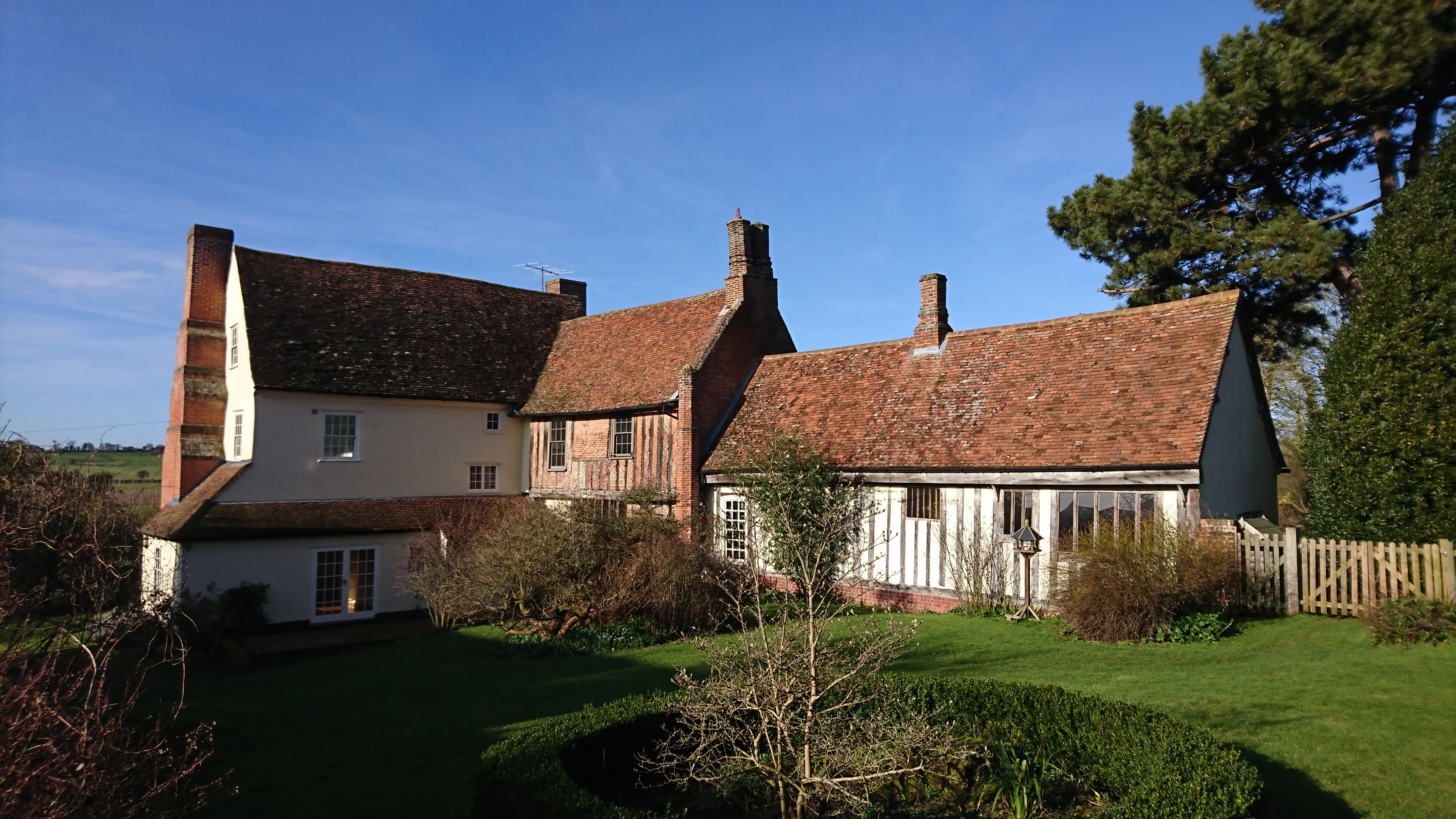
Cobblers Corner Images

Images are sourced within 2km of 52.019832/0.95163607 or Grid Reference TM0239. Thanks to Geograph Open Source API. All images are credited.

Lower Layham - looking towards the church
Entrance to Layham Park
The churchyard gates, Layham
Barns at Netherbury Hall, Lower Layham
St. Andrew's Church, Layham The tower dates from 1742. The remainder dates from about 1300 but much renewed in 1861 <span class="nowrap"><a title="https://historicengland.org.uk/listing/the-list/list-entry/1037136?section=official-list-entry" rel="nofollow ugc noopener" href="https://historicengland.org.uk/listing/the-list/list-entry/1037136?section=official-list-entry">Link</a><img style="margin-left:2px;" alt="External link" title="External link - shift click to open in new window" src="https://s1.geograph.org.uk/img/external.png" width="10" height="10"/></span>
St. Andrew's Church, Layham
The tower dates from 1742. The remainder dates from about 1300 but much renewed in 1861 LinkExternal link
The Street, Lower Layham Looking towards St. Andrew's church.
The Street, Lower Layham
Looking towards St. Andrew's church.
The Queen's Head Inn, Lower Layham Probably of medieval origin but much altered <span class="nowrap"><a title="https://historicengland.org.uk/listing/the-list/list-entry/1181827?section=official-list-entry" rel="nofollow ugc noopener" href="https://historicengland.org.uk/listing/the-list/list-entry/1181827?section=official-list-entry">Link</a><img style="margin-left:2px;" alt="External link" title="External link - shift click to open in new window" src="https://s1.geograph.org.uk/img/external.png" width="10" height="10"/></span>
The Queen's Head Inn, Lower Layham
Probably of medieval origin but much altered LinkExternal link
Layham House Cottage, Lower Layham Probably dates from the late seventeenth century <span class="nowrap"><a title="https://historicengland.org.uk/listing/the-list/list-entry/1037143?section=official-list-entry" rel="nofollow ugc noopener" href="https://historicengland.org.uk/listing/the-list/list-entry/1037143?section=official-list-entry">Link</a><img style="margin-left:2px;" alt="External link" title="External link - shift click to open in new window" src="https://s1.geograph.org.uk/img/external.png" width="10" height="10"/></span>
Layham House Cottage, Lower Layham
Probably dates from the late seventeenth century LinkExternal link
Layham House, Lower Layham Eighteenth century house <span class="nowrap"><a title="https://historicengland.org.uk/listing/the-list/list-entry/1284805?section=official-list-entry" rel="nofollow ugc noopener" href="https://historicengland.org.uk/listing/the-list/list-entry/1284805?section=official-list-entry">Link</a><img style="margin-left:2px;" alt="External link" title="External link - shift click to open in new window" src="https://s1.geograph.org.uk/img/external.png" width="10" height="10"/></span>
Layham House, Lower Layham
Eighteenth century house LinkExternal link
Overgrown stream, Lower Layham
Barley field, Lower Layham
Grass field and house near Lower Layham
Field by Benton Street, Hadleigh
Hadleigh United FC by Layham Road
St Andrew's Church, Layham
Stoke Road, Layham You don't often see a building ending in a wall along a road.
Stoke Road, Layham
You don't often see a building ending in a wall along a road.
St Andrew's church, Layham
Bridleway to Water House Farm
Show me another place!

Cobblers Corner is located at Grid Ref: TM0239 (Lat: 52.019832, Lng: 0.95163607)

Administrative County: Suffolk

District: Babergh

Police Authority: Suffolk

What 3 Words

///careful.zone.unleashed. Near Hadleigh, Suffolk

Nearby Locations

Cobblers Corner

Related Wikis

Lower Layham

Lower Layham is a small village in the civil parish of Layham, in the Babergh district, in the county of Suffolk, England. The village contains St.Andrew...

Upper Layham

Upper Layham is a village on the B1070 road, in the civil parish of Layham, in the Babergh district, in the county of Suffolk, England. Upper Layham has...

Layham

Layham is a small village and a civil parish in southern Suffolk, England, situated between the town of Hadleigh and the neighbouring village of Raydon...

Benton End

Benton End is a Grade II* listed sixteenth-century house located on the outskirts of the market town of Hadleigh in Suffolk, England. From 1939 to 1982...

Related Videos

All Saints Church, Shelley, Suffolk

The church is in the centre of the tiny village of Shelley. If you travel here by car you need to go through the white gates and ...

Priory Hall Wedding Venue Hadleigh Suffolk

Amy & Will were Married at Priory Hall in Hadleigh Suffolk Suffolk Wedding Videographer Steve Hood Films captured their day.

Nearby Amenities

Located within 500m of 52.019832,0.95163607
Queens Head
Naptan AtcoCode: 390010373
Naptan Bearing: N
Naptan BusStopType: CUS
Naptan CommonName: Queens Head
Naptan Indicator: adj
Naptan Landmark: Queens Head
Naptan NaptanCode: sufagapd
Naptan Street: The Street
Naptan Verified: no
Source: naptan_import
Lat/Long: 52.0228875/0.9564086
Queens Head
Naptan AtcoCode: 390010374
Naptan Bearing: SW
Naptan BusStopType: CUS
Naptan CommonName: Queens Head
Naptan Indicator: opp
Naptan Landmark: Queens Head
Naptan NaptanCode: sufagapg
Naptan Street: The Street
Naptan Verified: no
Source: naptan_import
Lat/Long: 52.0227963/0.9564609
Defibrillator
Booth: K6
Covered: booth
Defibrillator Location: In the disused red telephone kiosk, adjacent to the Queen's Head, Layham.
Disused Amenity: telephone
Emergency: defibrillator
Indoor: no
Man Made: telephone_box
Ref GB The Circuit: 2C5992D3-1D53-44D6-8AC0-AD800105AC93
Lat/Long: 52.0229483/0.9565382
Pub
The Queen's Head
Addr City: Lower Layham
Addr Place: Layham
Addr Postcode: IP7 5LZ
Addr Street: The Street
Facebook: https://www.facebook.com/The-Queens-HeadLayham-105172149558688/
Fhrs Id: 526690
Source Addr: FSA Food Hygiene Ratings Database
Wikidata: Q26477120
Lat/Long: 52.0229664/0.9564344
Defibrillator
Access: yes
Defibrillator Location: On the wall roughly opposite Rands Road,
Emergency: defibrillator
Indoor: no
Operator: Community Heartbeat Trust
Ref: CHT-10738
Lat/Long: 52.019799/0.9517024
The data included in this document is from www.openstreetmap.org. The data is made available under ODbL.

Have you been to Cobblers Corner?

Leave your review of Cobblers Corner below (or comments, questions and feedback).