Cob Wall

Settlement in Lancashire

England

Cob Wall

Leeds & Liverpool Canal The Leeds & Liverpool Canal at Whitebirk.
Leeds & Liverpool Canal Credit: Peter McDermott

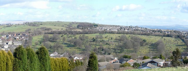
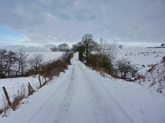
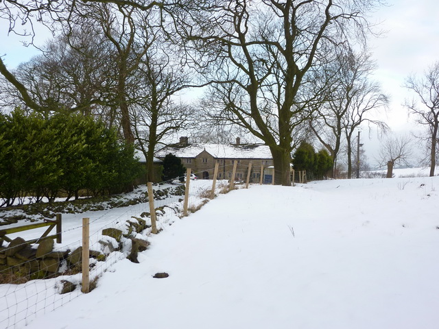
Cob Wall is a small village located in the county of Lancashire, England. Situated in the Borough of Chorley, it lies approximately 4 miles northwest of the town of Chorley and 6 miles southeast of the city of Preston. The village is nestled in a picturesque rural setting, surrounded by beautiful countryside and rolling hills.

Cob Wall has a rich history, with evidence of human settlement dating back to the Roman period. The name "Cob Wall" is believed to derive from the cobblestone walls that were once a prominent feature of the village. Today, the village retains its quaint charm, with many traditional stone-built cottages and farmhouses still standing.

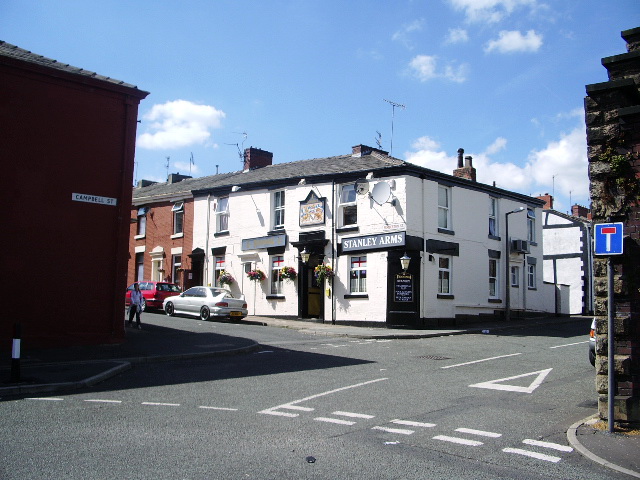
The village is home to a close-knit community, with a population of around 500 residents. It offers a range of amenities, including a primary school, a village hall, and a local pub. The surrounding countryside provides ample opportunities for outdoor activities, such as hiking, cycling, and horse riding.

Cob Wall is well-connected to the larger towns and cities of Lancashire, with good transport links via the nearby M61 motorway and a railway station located in the neighboring village of Euxton. This makes it an attractive place to live for those seeking a peaceful rural lifestyle while still being within easy reach of urban amenities.

Overall, Cob Wall offers a tranquil and idyllic village setting, with a strong sense of community and a rich historical heritage.

If you have any feedback on the listing, please let us know in the comments section below.
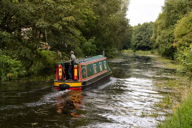
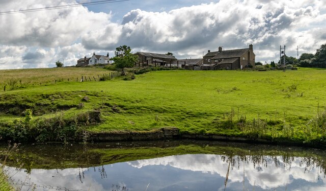
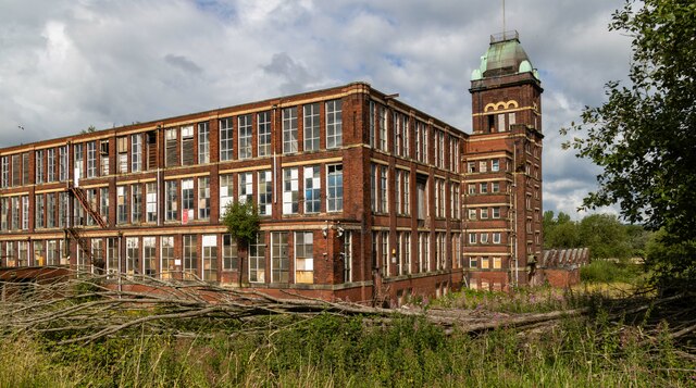
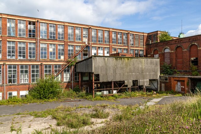
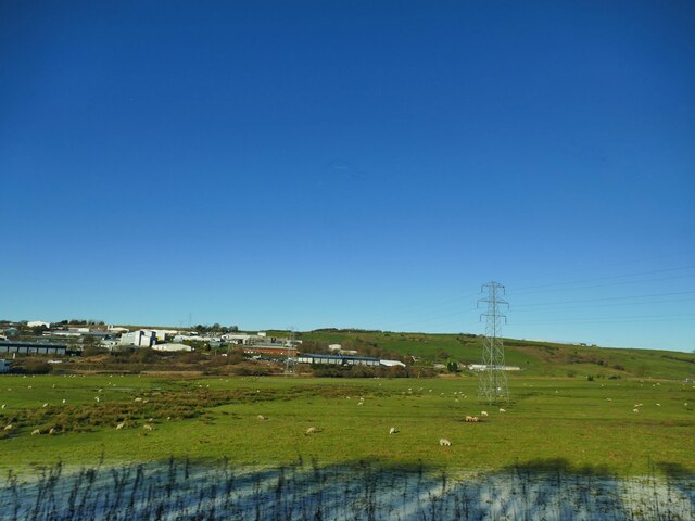
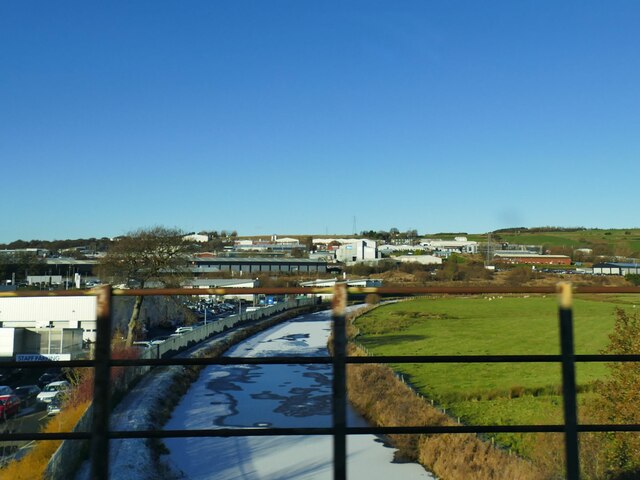
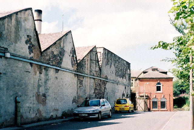
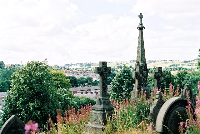
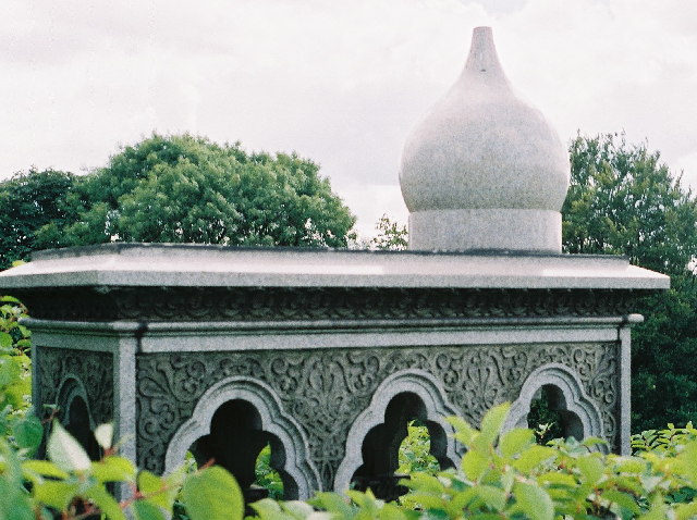
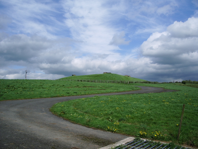
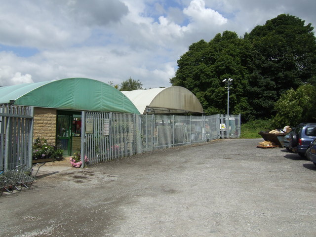
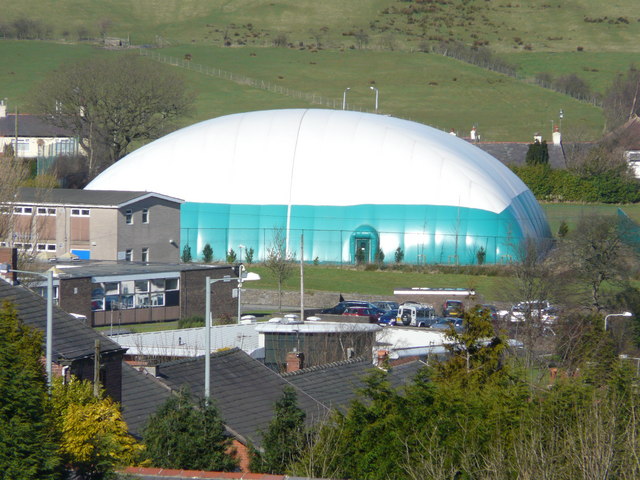
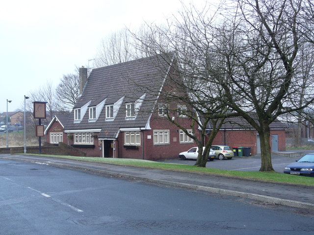
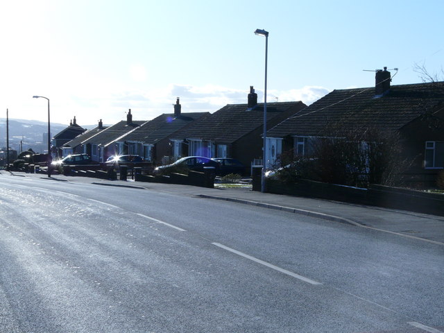
Cob Wall Images

Images are sourced within 2km of 53.756859/-2.4655288 or Grid Reference SD6929. Thanks to Geograph Open Source API. All images are credited.

Leeds & Liverpool Canal The Leeds & Liverpool Canal at Whitebirk.
Leeds & Liverpool Canal
The Leeds & Liverpool Canal at Whitebirk.
Whitebirk Moss Farm Whitebirk Moss Farm alongside the Leeds & Liverpool Canal.
Whitebirk Moss Farm
Whitebirk Moss Farm alongside the Leeds & Liverpool Canal.
Imperial Mill Imperial Mill seen from the Leeds & Liverpool Canal.

See also <a href="https://www.geograph.org.uk/photo/7558847">SD7028 : Imperial Mill</a> and <a href="https://www.geograph.org.uk/photo/7558832">SD6928 : Imperial Mill</a>.
Imperial Mill
Imperial Mill seen from the Leeds & Liverpool Canal. See also SD7028 : Imperial Mill and SD6928 : Imperial Mill.
Imperial Mill Imperial Mill seen from the Leeds & Liverpool Canal.

See also <a href="https://www.geograph.org.uk/photo/7558843">SD7028 : Imperial Mill</a> and <a href="https://www.geograph.org.uk/photo/7558832">SD6928 : Imperial Mill</a>.
Imperial Mill
Imperial Mill seen from the Leeds & Liverpool Canal. See also SD7028 : Imperial Mill and SD6928 : Imperial Mill.
Field east of the canal at Whitebirk The Leeds and Liverpool canal passes in front of the buildings in the distance, and at this point acts as the boundary between Blackburn unitary authority in which the buildings lie, and Lancashire county this side.
Field east of the canal at Whitebirk
The Leeds and Liverpool canal passes in front of the buildings in the distance, and at this point acts as the boundary between Blackburn unitary authority in which the buildings lie, and Lancashire county this side.
Leeds and Liverpool Canal near Trident Way The canal was partly frozen. For a similar view from towpath level, see <a href="https://www.geograph.org.uk/photo/4435100">SD7029 : A View Along The Canal</a>.
Leeds and Liverpool Canal near Trident Way
The canal was partly frozen. For a similar view from towpath level, see SD7029 : A View Along The Canal.
Roe Lee Mill, Blackburn "Duckworth's and Eddlestones weaving sheds were state of the art"... Visit of George V and Queen Mary 1913. See <span class="nowrap"><a title="http://www.cottontown.org/" rel="nofollow ugc noopener" href="http://www.cottontown.org/">Link</a><img style="margin-left:2px;" alt="External link" title="External link - shift click to open in new window" src="https://s1.geograph.org.uk/img/external.png" width="10" height="10"/></span>
Tony Mercer provided this extra information, "The entrance through the gates in the photo used to have a siding from the railway into it. It was controlled by a nearby signal box called Cemetery Hill siding."
Roe Lee Mill, Blackburn
"Duckworth's and Eddlestones weaving sheds were state of the art"... Visit of George V and Queen Mary 1913. See LinkExternal link Tony Mercer provided this extra information, "The entrance through the gates in the photo used to have a siding from the railway into it. It was controlled by a nearby signal box called Cemetery Hill siding."
Blackburn Cemetery Overgrown Victoriana
Blackburn Cemetery
Overgrown Victoriana
Blackburn Cemetery - Tomb in the Moorish style. Knotweed abundant. Grave of William Whewell. "not a lot is known about this grave" - <span class="nowrap"><a title="www.cottontown.org" rel="nofollow ugc noopener" href="http://www.cottontown.org">Link</a><img style="margin-left:2px;" alt="External link" title="External link - shift click to open in new window" src="https://s1.geograph.org.uk/img/external.png" width="10" height="10"/></span> . Can anyone help?
Blackburn Cemetery - Tomb in the Moorish style. Knotweed abundant.
Grave of William Whewell. "not a lot is known about this grave" - LinkExternal link . Can anyone help?
Eddyholes Service Reservoir (Covered)
Stonehill Garden Centre Tucked away down a lane off the Whalley Old Road at Sunny Bower is a surprisingly large plant centre.
Stonehill Garden Centre
Tucked away down a lane off the Whalley Old Road at Sunny Bower is a surprisingly large plant centre.
"Stanley Arms", Campbell Street, Blackburn
Sports Hall. Inflatable sports hall at Lammack school. Viewed from Royshaw Hill.
Sports Hall.
Inflatable sports hall at Lammack school. Viewed from Royshaw Hill.
The Farthings . Public house on Rosewood Avenue.
The Farthings .
Public house on Rosewood Avenue.
Dead centre of Blackburn! Blackburn Cemetery viewed from Royshaw Hill.
Dead centre of Blackburn!
Blackburn Cemetery viewed from Royshaw Hill.
Bungalows-Whalley Old Road Row of bungalows in an area known as Sunny Bower.
Bungalows-Whalley Old Road
Row of bungalows in an area known as Sunny Bower.
Road to Eddy Holes
Road to Eddy Holes
Eddy Holes
Eddy Holes
Show me another place!

Cob Wall is located at Grid Ref: SD6929 (Lat: 53.756859, Lng: -2.4655288)

Unitary Authority: Blackburn with Darwen

Police Authority: Lancashire

What 3 Words

///cove.issue.zeal. Near Blackburn, Lancashire

Related Wikis

Jamiatul Ilm Wal Huda

Jamiatul Ilm Wal Huda, also known as Darul Uloom Blackburn, is an 11–25 private, Islamic, boarding and day school for boys in Blackburn, Lancashire, England...

Little Harwood

Little Harwood is a suburb of Blackburn in Lancashire, England, situated at the northern edge of the town. == Use of land == Located within the ward are...

Daisyfield railway station

Daisyfield railway station was a railway station that served the Daisyfield area of Blackburn, Lancashire. == History == The station was opened by the...

Imperial Mill, Blackburn

Imperial Mill, Blackburn is a cotton spinning mill at Wallace and Gorse Street in Greenbank, Blackburn, Lancashire, England. It was designed by P.S. Stott...

Holy Trinity Church, Blackburn

Holy Trinity Church is in Mount Pleasant, Blackburn, Lancashire, England. It is a former Anglican parish church which is now redundant and under the care...

Whitebirk

Whitebirk is a suburb in the east of Blackburn, in Lancashire, England. Most of the suburb is in Blackburn with Darwen, a unitary area, with the east...

St Thomas' Church, Blackburn

St Thomas' Church was an Anglican parish church in Blackburn, Lancashire, England. The church was situated on the eastern side of Lambeth Street, between...

Whalley Range, Blackburn

Whalley Range is an urban area in Blackburn, Lancashire. The area is a community with almost all residents being of Indian or Pakistani heritage. Houses...

Nearby Amenities

Located within 500m of 53.756859,-2.4655288
Little Harwood
Place: suburb
Source: npe
Lat/Long: 53.7596845/-2.4613726
Mini Roundabout
Direction: clockwise
Lat/Long: 53.7569918/-2.4676779
Mini Roundabout
Direction: clockwise
Lat/Long: 53.7568168/-2.4676594
Railway: level_crossing
Lat/Long: 53.7544771/-2.4665029
Place Of Worship
Building: mosque
Religion: muslim
Lat/Long: 53.7549874/-2.463417
Barrier: bollard
Lat/Long: 53.7581935/-2.4628776
Barrier: bollard
Lat/Long: 53.7532747/-2.4690068
Turning Circle
Lat/Long: 53.7539213/-2.4703651
Turning Circle
Lat/Long: 53.7546916/-2.4709485
Railway: switch
Lat/Long: 53.7550563/-2.4664256
Bank
T.S.B Bank
Name En: T.S.B Bank
Lat/Long: 53.7574752/-2.471757
Place Of Worship
Masjid-al-Momineen
Building: mosque
Denomination: sunni
Religion: muslim
Website: https://www.al-momineen.org/
Lat/Long: 53.7573243/-2.4690479
PC Waves
Name En: PC Waves
Shop: computer
Lat/Long: 53.7581814/-2.4710594
Place Of Worship
Masjid e Sajedeen
Addr City: Blackburn
Addr Postcode: BB1 6LS
Addr Street: Plane Tree Road
Email: sajedeen@hotmail.co.uk
Phone: +441254 54313
Religion: muslim
Source Addr Postcode: code-point_open
Website: http://www.sajedeen.com
Wikidata: Q38712108
Lat/Long: 53.7584123/-2.4677028
Generator Method: photovoltaic
Generator Output Electricity: yes
Generator Source: solar
Generator Type: solar_photovoltaic_panel
Power: generator
Lat/Long: 53.7580017/-2.4641618
Generator Method: photovoltaic
Generator Output Electricity: yes
Generator Source: solar
Generator Type: solar_photovoltaic_panel
Power: generator
Lat/Long: 53.7577422/-2.4640871
Crossing
Crossing: traffic_signals
Lat/Long: 53.7601614/-2.4647428
Traffic Calming: hump
Lat/Long: 53.7609582/-2.466318
Give Way
Direction: forward
Lat/Long: 53.7584331/-2.4720518
Barrier: bollard
Motor Vehicle: no
Lat/Long: 53.7567022/-2.4676877
The data included in this document is from www.openstreetmap.org. The data is made available under ODbL.

Have you been to Cob Wall?

Leave your review of Cob Wall below (or comments, questions and feedback).