Bastwell
Settlement in Lancashire
England
Bastwell
Bastwell is a small residential area located in the town of Blackburn, Lancashire, England. Situated in the northwestern part of the town, Bastwell is bounded by Whalley Range, Audley, and Central Blackburn. The area is primarily composed of residential properties, with a mix of terraced houses and semi-detached homes.
Bastwell benefits from its proximity to Blackburn town center, which is just a short distance away. This provides residents with easy access to a wide range of amenities, including shops, restaurants, and entertainment venues. Additionally, the area benefits from good transport links, with several bus routes passing through, connecting Bastwell to other parts of the town and beyond.
The community in Bastwell is diverse, with a mix of different ethnicities and backgrounds. This diversity is reflected in the local businesses, which offer a range of multicultural goods and services. The area is also home to several places of worship, including churches, mosques, and temples, catering to the religious needs of the community.
Bastwell is known for its strong community spirit and active local organizations, which work to improve the area and provide support to residents. These organizations often arrange community events, such as festivals and fairs, fostering a sense of unity and belonging among residents.
Overall, Bastwell offers a peaceful residential environment with easy access to essential amenities and a diverse community that embraces its multicultural identity.
If you have any feedback on the listing, please let us know in the comments section below.
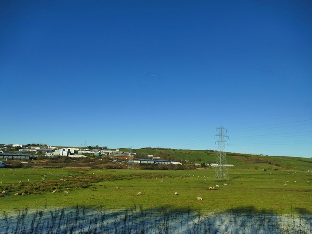
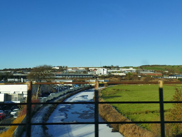
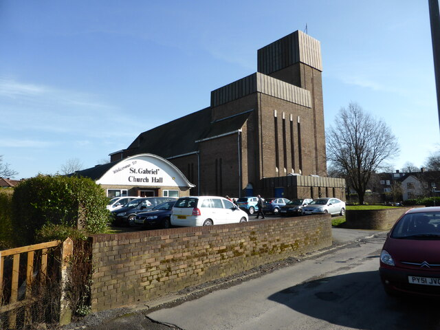
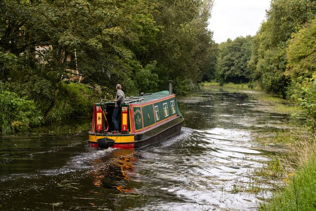
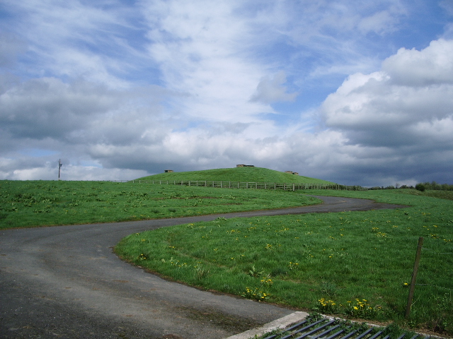
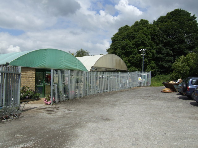
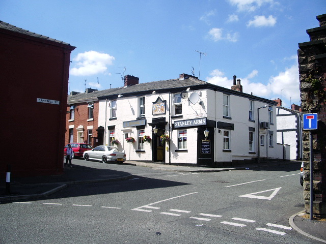
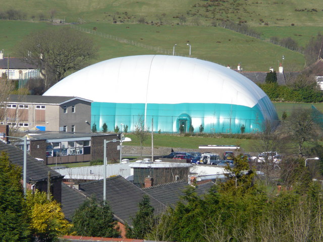
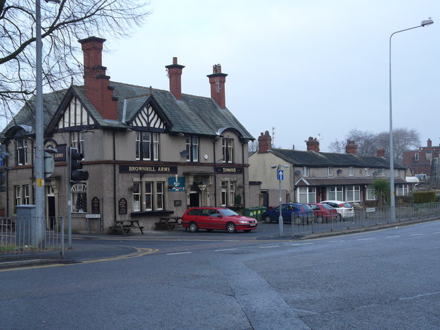
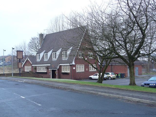
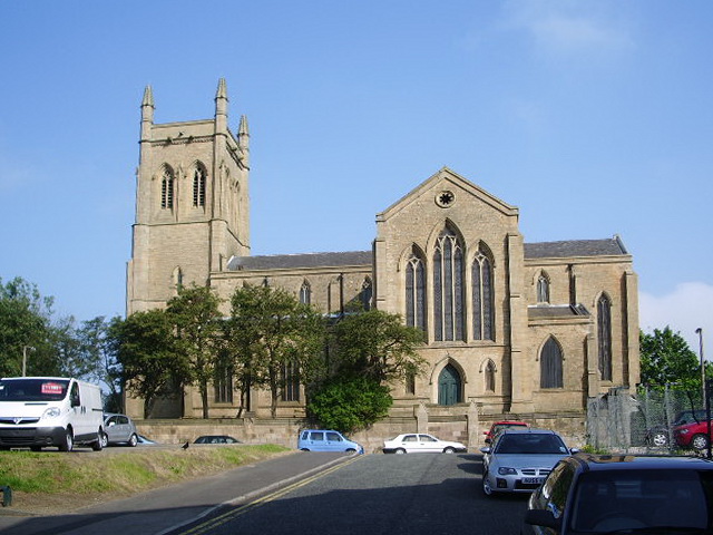
Bastwell Images
Images are sourced within 2km of 53.757804/-2.4698619 or Grid Reference SD6929. Thanks to Geograph Open Source API. All images are credited.
Bastwell is located at Grid Ref: SD6929 (Lat: 53.757804, Lng: -2.4698619)
Unitary Authority: Blackburn with Darwen
Police Authority: Lancashire
What 3 Words
///intro.pirate.dream. Near Blackburn, Lancashire
Nearby Locations
Related Wikis

Daisyfield railway station
Daisyfield railway station was a railway station that served the Daisyfield area of Blackburn, Lancashire. == History == The station was opened by the...

Jamiatul Ilm Wal Huda
Jamiatul Ilm Wal Huda, also known as Darul Uloom Blackburn, is an 11–25 private, Islamic, boarding and day school for boys in Blackburn, Lancashire, England...

Little Harwood
Little Harwood is a suburb of Blackburn in Lancashire, England, situated at the northern edge of the town. == Use of land == Located within the ward are...
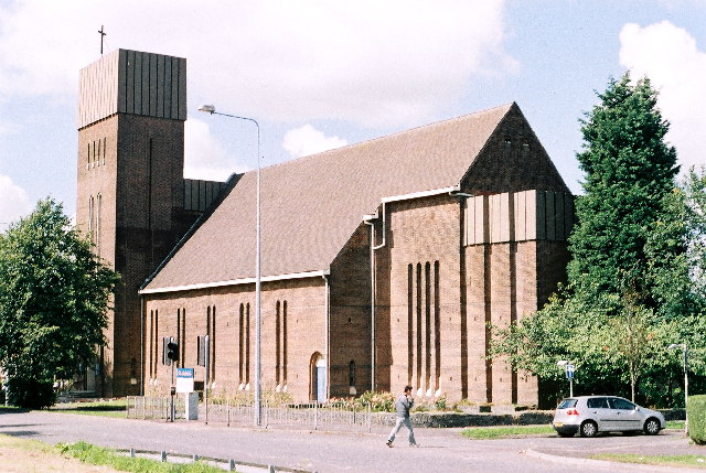
Holy Trinity Church, Blackburn
Holy Trinity Church is in Mount Pleasant, Blackburn, Lancashire, England. It is a former Anglican parish church which is now redundant and under the care...
Whalley Range, Blackburn
Whalley Range is an urban area in Blackburn, Lancashire. The area is a community with almost all residents being of Indian or Pakistani heritage. Houses...
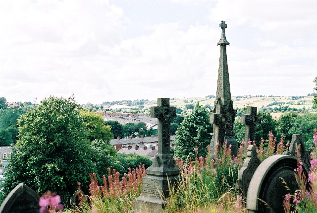
Blackburn Cemetery
Blackburn Cemetery, sometimes known as Blackburn Old Cemetery, is a public cemetery in the town of Blackburn, Lancashire which lies on Whalley New Road...
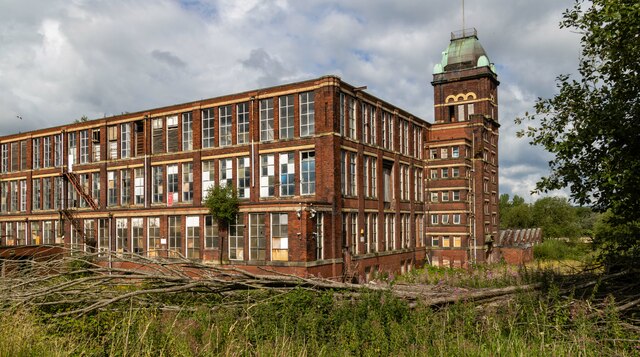
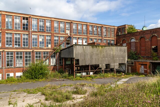
Imperial Mill, Blackburn
Imperial Mill, Blackburn is a cotton spinning mill at Wallace and Gorse Street in Greenbank, Blackburn, Lancashire, England. It was designed by P.S. Stott...
Bank Hey
Bank Hey (also Sunnybower or Sunny Bower) is a suburb of Blackburn, Lancashire, England. It is located to the east of the town, north of Whitebirk and...
Nearby Amenities
Located within 500m of 53.757804,-2.4698619Have you been to Bastwell?
Leave your review of Bastwell below (or comments, questions and feedback).