Clayock
Settlement in Caithness
Scotland
Clayock
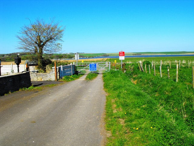
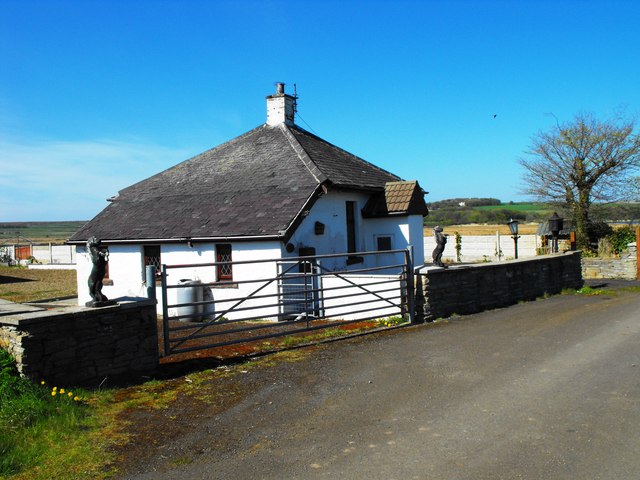
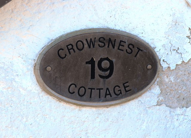
Clayock is a small village located in the county of Caithness, in the northernmost part of Scotland. Situated on the east coast, it is nestled between the North Sea to the east and the rugged Caithness countryside to the west. With a population of around 200 residents, Clayock has maintained its charm as a close-knit community.
The village is known for its picturesque surroundings, characterized by rolling hills, lush green fields, and breathtaking coastal views. The nearby cliffs, formed over millions of years by the elements, provide a stunning backdrop to the village.
Clayock is predominantly an agricultural community, with farming being the main occupation of its residents. The fertile land and mild climate in the region make it ideal for cultivating crops and rearing livestock. As a result, the village is dotted with traditional farmhouses and barns, adding to its rustic appeal.
Despite its small size, Clayock offers a few amenities for its residents and visitors. There is a local pub serving traditional Scottish fare, a convenience store for everyday essentials, and a primary school that caters to the educational needs of the children in the area.
For those seeking outdoor activities, Clayock does not disappoint. The coastline offers opportunities for walking, fishing, and birdwatching, while the surrounding countryside is perfect for hiking and cycling. The village also hosts an annual agricultural fair, attracting visitors from nearby towns and beyond.
In conclusion, Clayock is a charming village in Caithness that offers a peaceful and picturesque setting, a close-knit community, and access to the natural beauty of the Scottish countryside.
If you have any feedback on the listing, please let us know in the comments section below.
Clayock Images
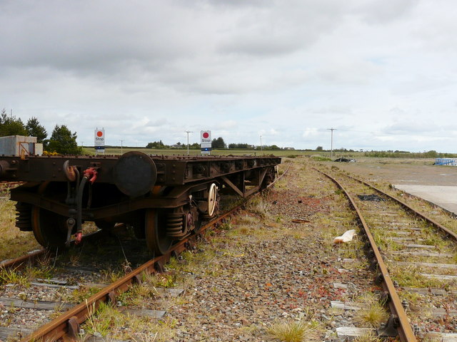
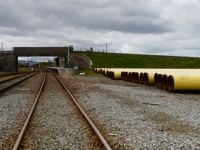
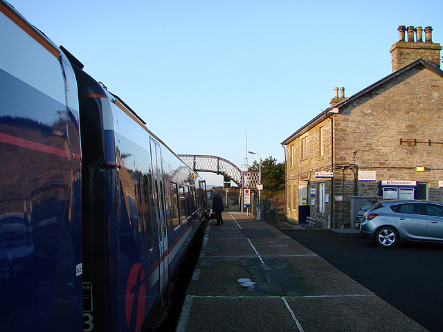
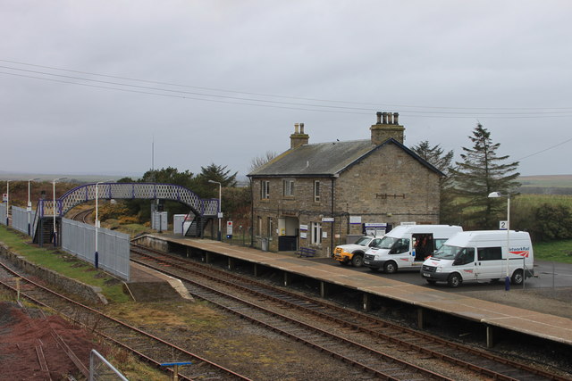
Images are sourced within 2km of 58.512116/-3.4262067 or Grid Reference ND1759. Thanks to Geograph Open Source API. All images are credited.
Clayock is located at Grid Ref: ND1759 (Lat: 58.512116, Lng: -3.4262067)
Unitary Authority: Highland
Police Authority: Highlands and Islands
What 3 Words
///enlighten.gong.dine. Near Halkirk, Highland
Nearby Locations
Related Wikis

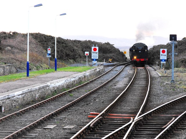
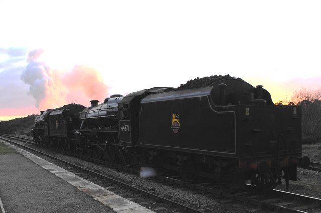
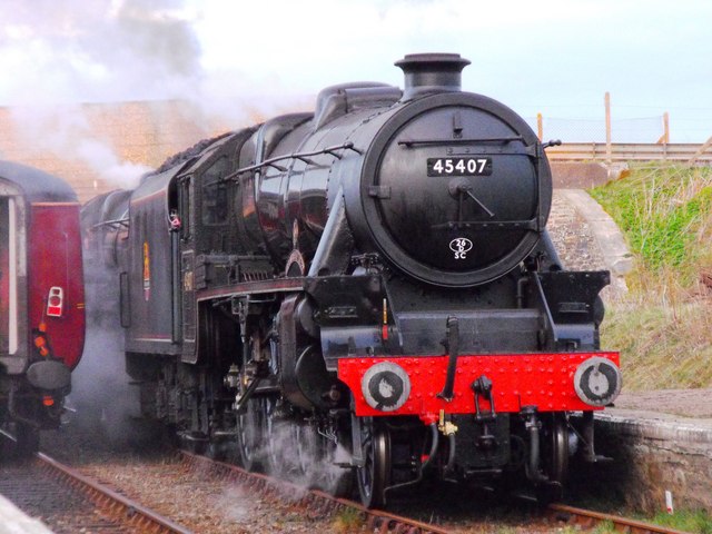
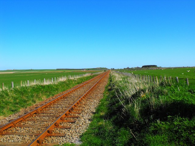
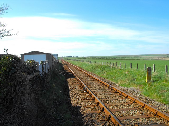
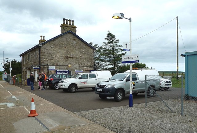
Georgemas Junction railway station
Georgemas Junction railway station is a railway station located in the Highland council area in the far north of Scotland. It serves several rural hamlets...

Georgemas
Georgemas is an area in the county of Caithness, in the Highland area of Scotland, about 8 kilometres (5.0 mi) south of the town of Thurso and about two...

Hoy railway station
Hoy was a railway station located northeast of Halkirk, Highland. The station opened on 28 July 1874 and closed to regular passenger traffic on 29 November...
Roadside, Caithness
Roadside is a small village, located at the junction of the A9 trunk road and the B874, 1 mile south of Sordale in Caithness, Scottish Highlands and is...
Nearby Amenities
Located within 500m of 58.512116,-3.4262067Have you been to Clayock?
Leave your review of Clayock below (or comments, questions and feedback).