Clayhill
Settlement in Buckinghamshire
England
Clayhill

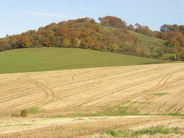
Clayhill is a small village located in the county of Buckinghamshire, England. Situated approximately 5 miles northwest of Milton Keynes, the village is nestled in a picturesque rural setting surrounded by rolling hills and farmland.
The origins of Clayhill can be traced back centuries, with evidence of human habitation in the area dating back to the Roman times. The village itself is characterized by a mix of traditional brick and stone houses, reflecting its long history. The local community is close-knit and friendly, with a population of around 500 residents.
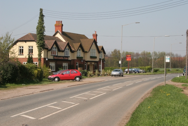
Although small in size, Clayhill offers a range of amenities to its inhabitants. There is a local primary school, providing education for children in the village and the surrounding area. Additionally, a village hall serves as a central hub for community activities, hosting events such as fairs and social gatherings.
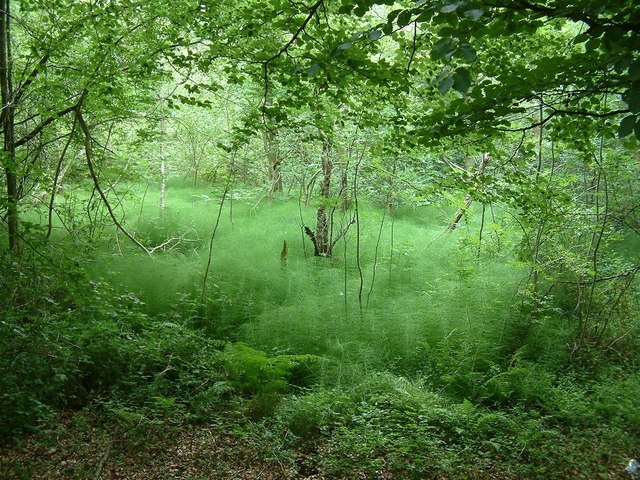
The natural beauty of Clayhill and its surroundings make it an attractive destination for outdoor enthusiasts. The village is surrounded by lush green fields and woodland, offering plenty of opportunities for walks, hikes, and exploration. Furthermore, the nearby River Ouzel provides the perfect spot for fishing and boating.
While Clayhill remains a predominantly agricultural community, it benefits from its close proximity to Milton Keynes. This allows residents to easily access a wider range of services and employment opportunities. The village is well-connected, with good road links to nearby towns and cities, making it an ideal location for those seeking a peaceful rural lifestyle within reach of urban amenities.
If you have any feedback on the listing, please let us know in the comments section below.
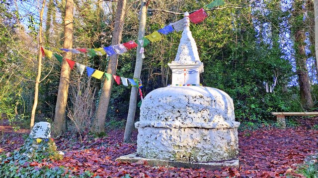
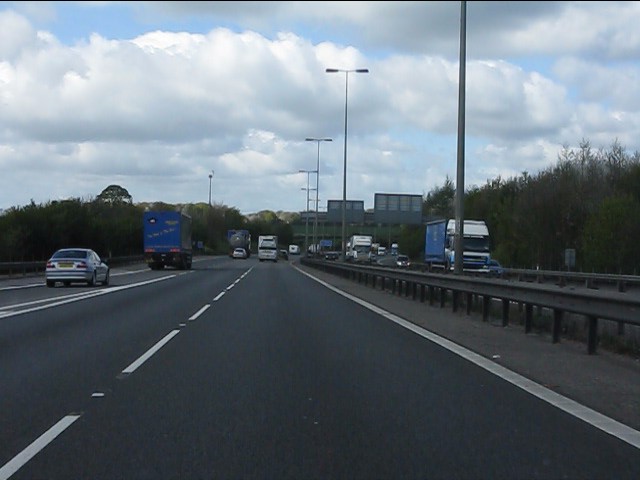
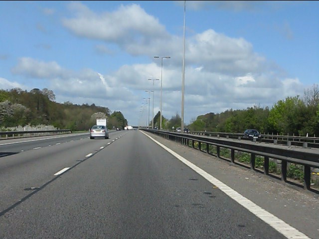
Clayhill Images
Images are sourced within 2km of 51.609015/-0.79910674 or Grid Reference SU8390. Thanks to Geograph Open Source API. All images are credited.


Clayhill is located at Grid Ref: SU8390 (Lat: 51.609015, Lng: -0.79910674)
Unitary Authority: Buckinghamshire
Police Authority: Thames Valley
What 3 Words
///rods.spinners.crawled. Near High Wycombe, Buckinghamshire
Nearby Locations
Related Wikis
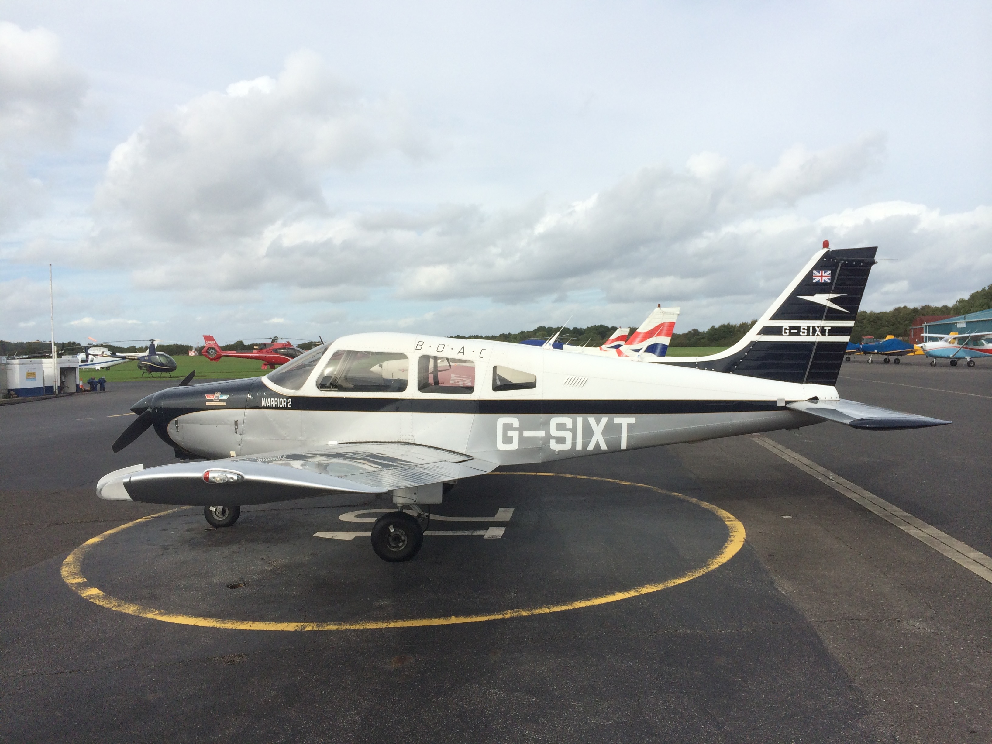
Wycombe Air Park
Wycombe Air Park, also known as Booker Airfield (IATA: HYC, ICAO: EGTB), is an operational general aviation aerodrome located in Booker, Buckinghamshire...

Wycombe (UK Parliament constituency)
Wycombe () is a constituency in Buckinghamshire represented in the House of Commons of the UK Parliament since 2010 by Steve Baker, a Conservative. �...

Cressex Community School
Cressex Community School is a cooperative trust secondary school in High Wycombe, Buckinghamshire. It is a foundation school, which takes children from...
Booker, Buckinghamshire
Booker is a hamlet within the parish of West Wycombe in Buckinghamshire, England, which has absorbed into the expanding suburbs of High Wycombe. There...
Windsor Hill
Windsor Hill is a 61.8-hectare (153-acre) biological Site of Special Scientific Interest in Princes Risborough in Buckinghamshire. It lies within the Chilterns...
Widdenton Park Wood
Widdenton Park Wood is a 23.5-hectare (58-acre) Site of Special Scientific Interest west of High Wycombe in Buckinghamshire. It is on the site of a medieval...
Handy Cross
Handy Cross is a hamlet in the parish of Little Marlow, Buckinghamshire, England. It is located on Marlow Hill, on the old road between Marlow and High...
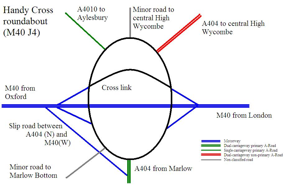
Handy Cross roundabout
Handy Cross roundabout is a major road interchange at Handy Cross, High Wycombe, Buckinghamshire; the junction for High Wycombe, the M40 motorway and the...
Nearby Amenities
Located within 500m of 51.609015,-0.79910674Have you been to Clayhill?
Leave your review of Clayhill below (or comments, questions and feedback).