Clashnamuiach
Settlement in Cromartyshire
Scotland
Clashnamuiach
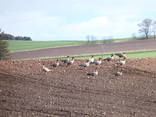
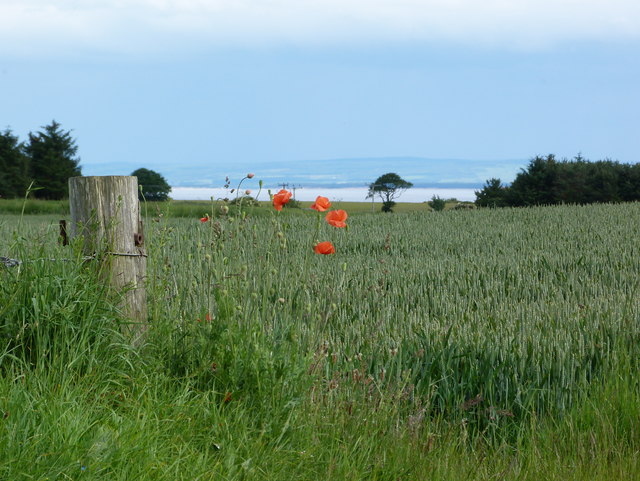
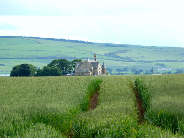
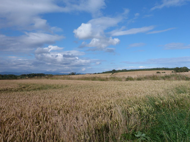
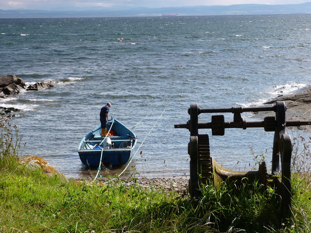
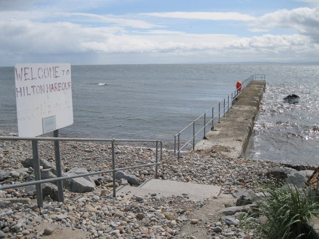
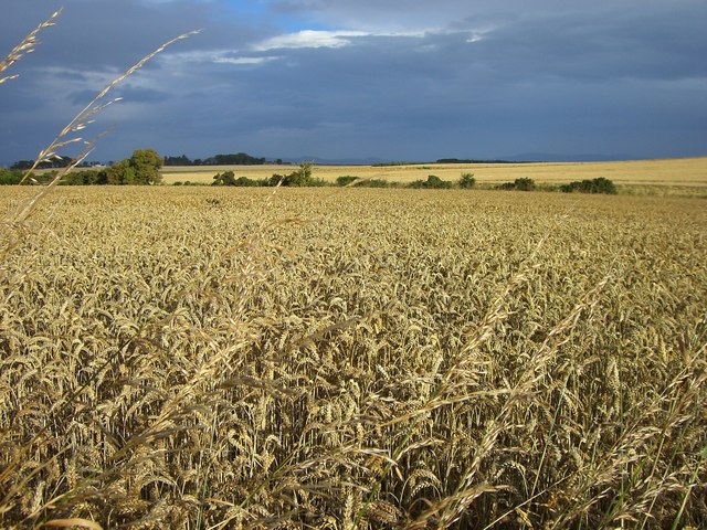
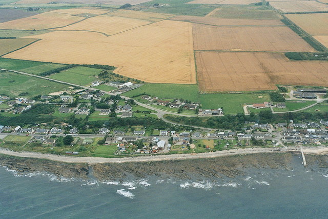
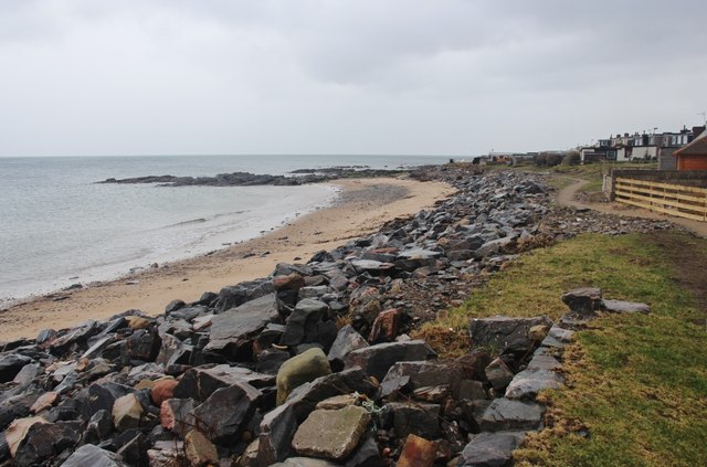
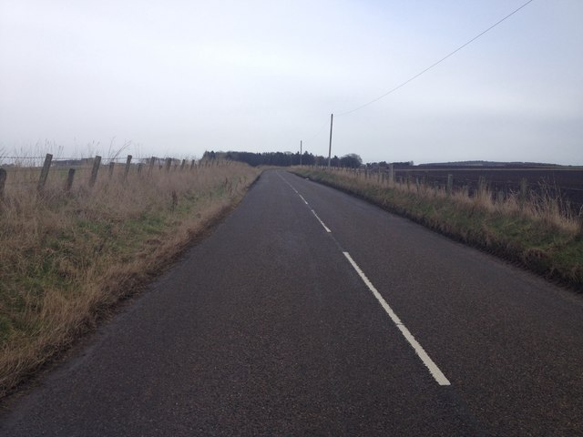
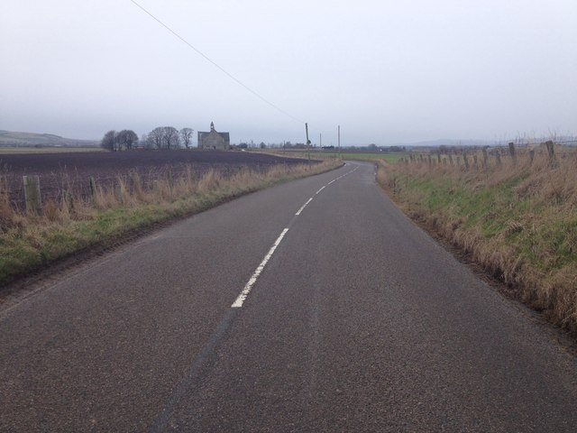
Clashnamuiach is a small village located in the historic county of Cromartyshire, Scotland. Situated on the northern coast, it lies approximately 10 miles northeast of the town of Cromarty and 25 miles northeast of Inverness. The village is nestled between rolling green hills and overlooks the picturesque Cromarty Firth.
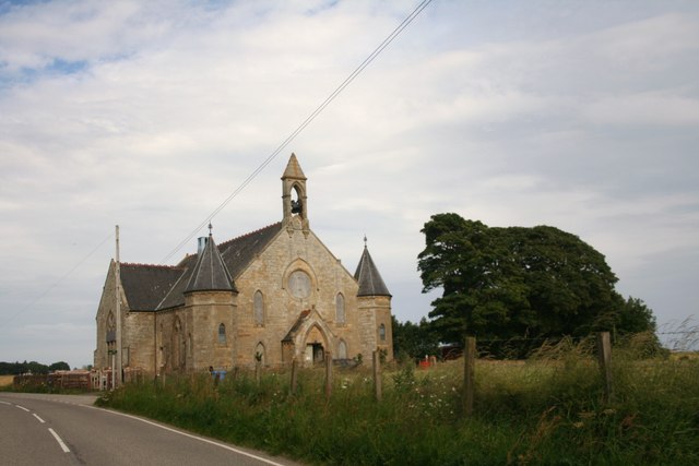
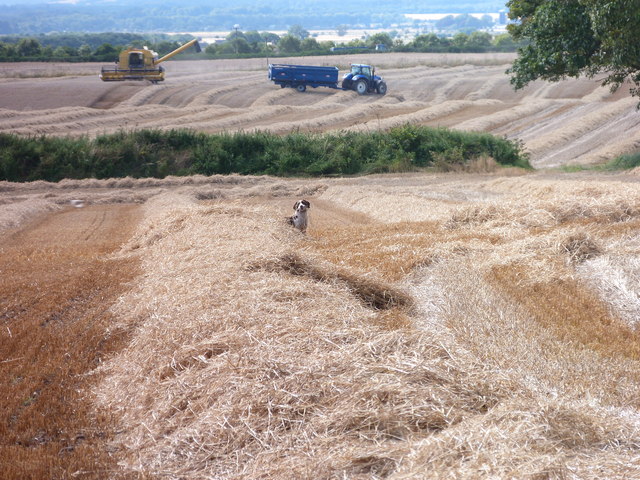
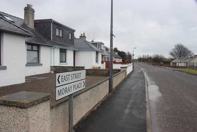
With a population of around 300 residents, Clashnamuiach is known for its tranquility and natural beauty. The village is predominantly residential, with a few local businesses catering to the needs of the community. The architecture of Clashnamuiach reflects its rich history, with traditional stone-built cottages and farmhouses dotting the landscape.
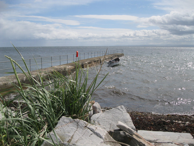
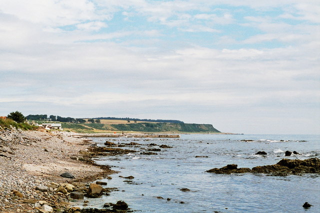
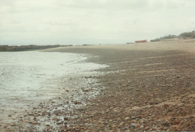
Nature enthusiasts are drawn to Clashnamuiach for its stunning scenery and proximity to various outdoor activities. The surrounding area offers opportunities for hiking, cycling, and bird watching, with several nature reserves located nearby. The Cromarty Firth is also a popular spot for water sports such as kayaking and sailing.
Despite its small size, Clashnamuiach has a strong sense of community. The village hosts regular events and gatherings, including an annual summer fair and a Christmas market, which bring locals and visitors together. The village also has a primary school, a community center, and a small but well-stocked general store.
In conclusion, Clashnamuiach is a charming village in Cromartyshire, Scotland, offering a peaceful and picturesque retreat for residents and visitors alike.
If you have any feedback on the listing, please let us know in the comments section below.
Clashnamuiach Images
Images are sourced within 2km of 57.775515/-3.9047309 or Grid Reference NH8677. Thanks to Geograph Open Source API. All images are credited.
Clashnamuiach is located at Grid Ref: NH8677 (Lat: 57.775515, Lng: -3.9047309)
Unitary Authority: Highland
Police Authority: Highlands and Islands
What 3 Words
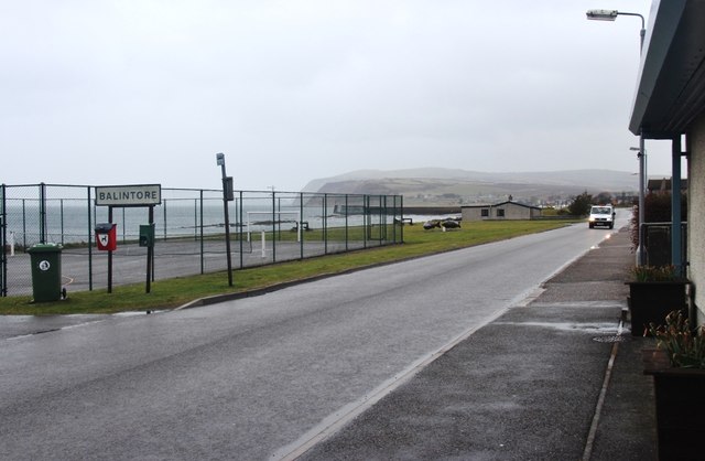
///signed.resist.grouping. Near Balintore, Highland
Nearby Locations
Related Wikis

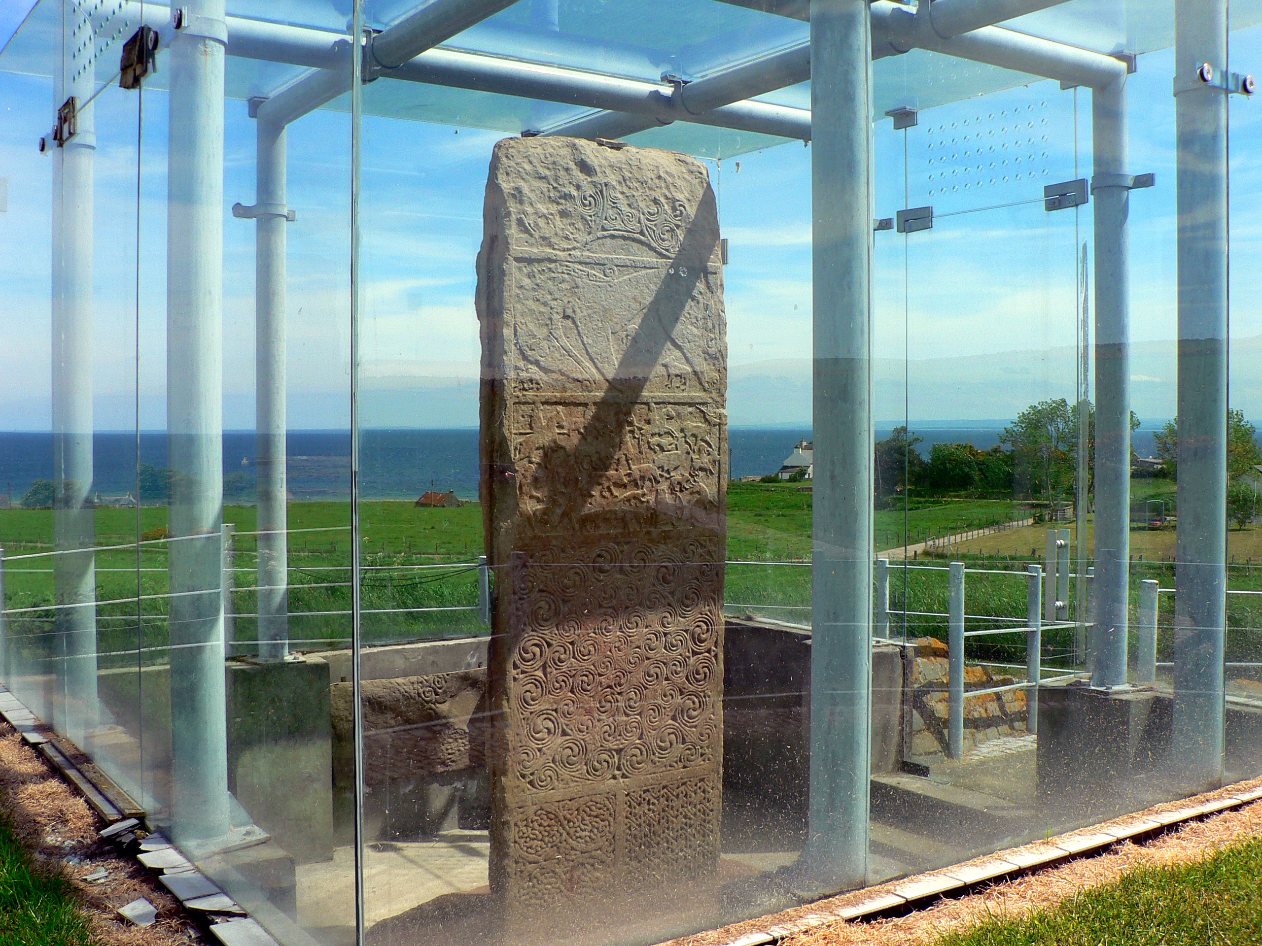
Hilton of Cadboll Stone
The Hilton of Cadboll Stone is a Class II Pictish stone discovered at Hilton of Cadboll, on the East coast of the Tarbat Peninsula in Easter Ross, Scotland...
Hilton of Cadboll Chapel
The Hilton of Cadboll Chapel is the remains of a medieval chapel dedicated to the Virgin Mary. The chapel is located in Hilton of Cadboll, a village in...

Hilton of Cadboll
Hilton of Cadboll, or simply Hilton, (Scottish Gaelic: Baile a' Chnuic) is a village about 15 km (9 mi) southeast of Tain in Easter Ross, in the Scottish...
Balintore, Easter Ross
Balintore (from the Scottish Gaelic: Baile an Todhair meaning "The Bleaching Town") is a village near Tain in Easter Ross, Scotland. It is one of three...
Seaboard Villages
The Seaboard Villages (Scottish Gaelic: Na Trì Port Mara) are three contiguous coastal villages, situated about 10 km southeast of the town of Tain in...
Shandwick
Shandwick (Scottish Gaelic: Seannduaig), a village near Tain in Easter Ross, and is in the Scottish council area of Highland, Scotland. Hilton, Balintore...

Fearn, Highland
Fearn (Scottish Gaelic: Manachainn Rois) is a hamlet, situated 1 mile (1.6 km) south of Loch Eye and 2 miles (3.2 km) northwest of Balintore, in eastern...
Christian Focus Publications
Christian Focus Publications (CFP) is a conservative, evangelical publishing house in the United Kingdom.CFP was established in the early 1970s, and is...
Nearby Amenities
Located within 500m of 57.775515,-3.9047309Have you been to Clashnamuiach?
Leave your review of Clashnamuiach below (or comments, questions and feedback).