Clattercote

Settlement in Oxfordshire Cherwell

England

Clattercote

Churchyard of St James the Great
Churchyard of St James the Great Credit: Philip Jeffrey

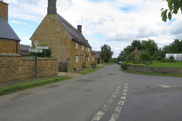
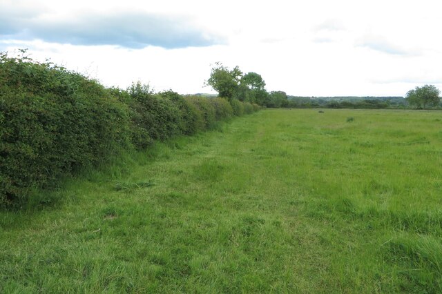
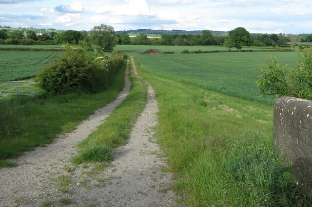
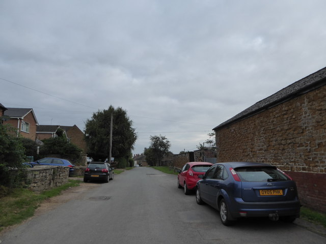
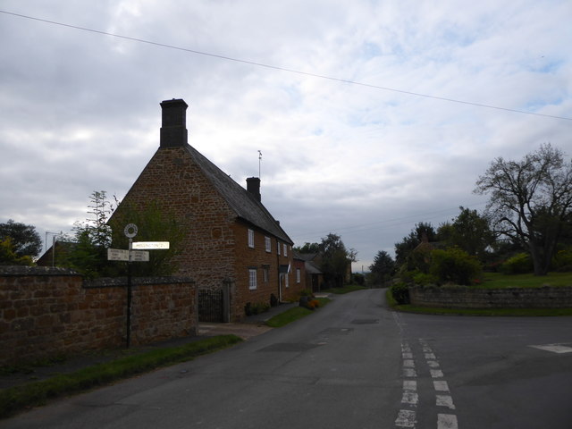
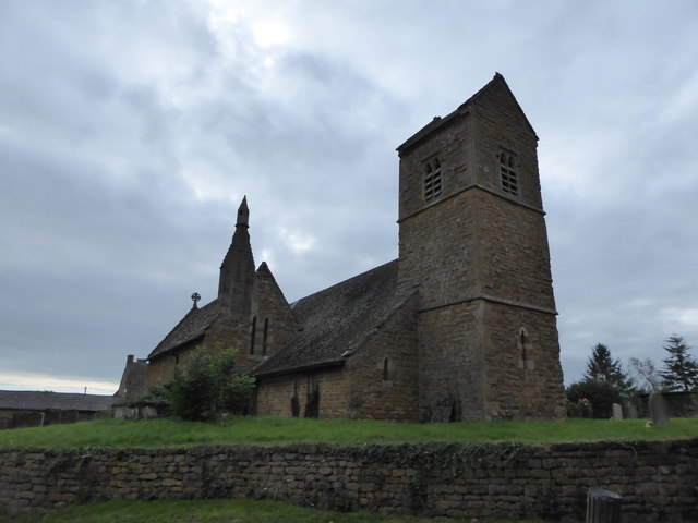
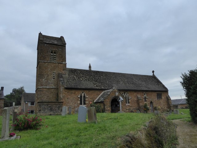
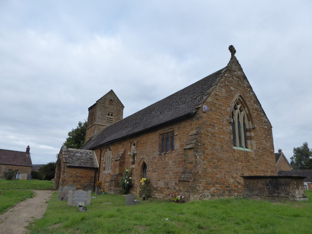
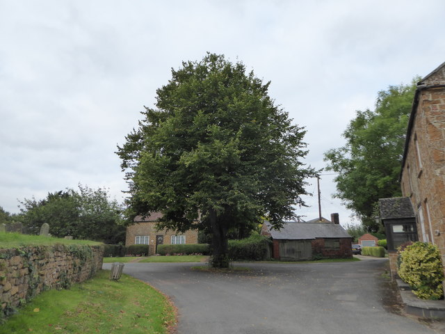
Clattercote is a small village located in the county of Oxfordshire, England. Situated approximately 4 miles west of the town of Banbury, Clattercote is nestled in a picturesque rural setting, surrounded by rolling hills and lush green fields.

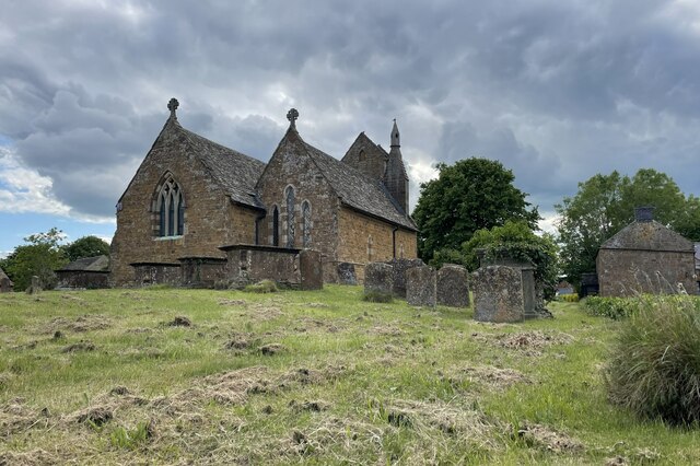
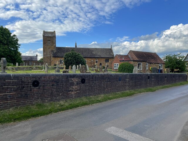
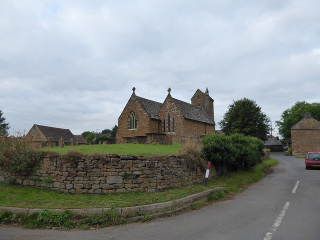
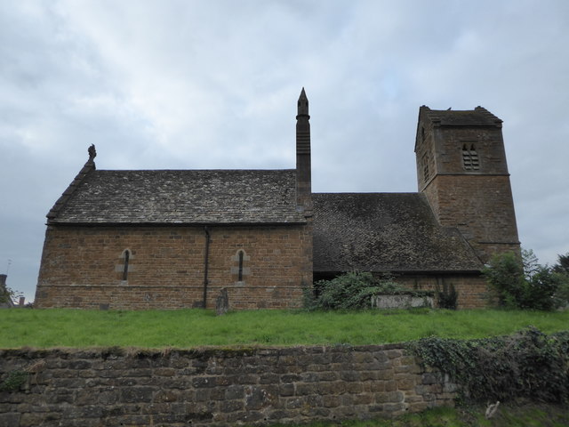
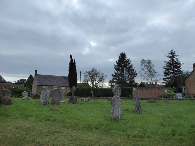
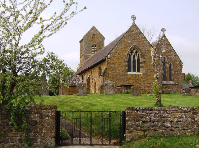
The village is known for its historical significance, with evidence of human habitation dating back to the Roman period. The remains of a Roman villa have been discovered in the vicinity, offering a glimpse into the area's rich past.

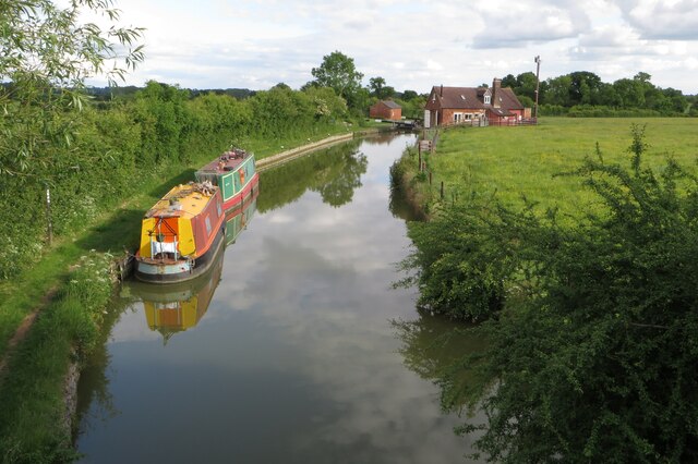
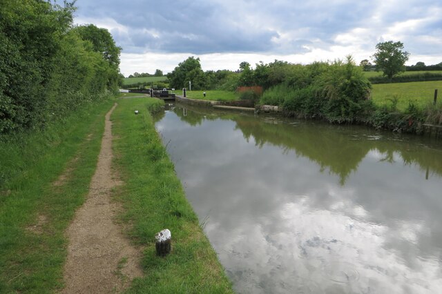
One of the notable landmarks in Clattercote is the Clattercote Reservoir, a man-made lake that serves as a water supply for the nearby Oxford Canal. The reservoir is a popular spot for fishing and boating enthusiasts, attracting visitors from both the local community and beyond.

The village itself is home to a small, close-knit community, with a population of around 200 residents. The village exudes a tranquil and idyllic atmosphere, making it an attractive destination for those seeking a peaceful retreat from the hustle and bustle of city life.

Clattercote is also renowned for its traditional country pubs, offering visitors a taste of local hospitality and cuisine. These establishments are often frequented by both locals and tourists, providing a warm and friendly environment to relax and enjoy a pint of ale or a hearty meal.

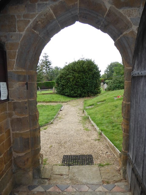
Overall, Clattercote embodies the quintessential charm of an English countryside village, with its rich history, natural beauty, and welcoming community.

If you have any feedback on the listing, please let us know in the comments section below.

Clattercote Images

Images are sourced within 2km of 52.138485/-1.3288425 or Grid Reference SP4649. Thanks to Geograph Open Source API. All images are credited.

Churchyard of St James the Great
St James' church and village hall Claydon
Main Street Claydon
Main Street Claydon
Footpath to Lower Boddington
Narrowboats by Claydon Top Lock
Stile on the footpath to Lower Boddington
Oxford Canal Walk approaching lock 18
Traffic jam in Main Street
Junction of Main Street and Mollington Road
St James the Great, Claydon seen from every angle (1)
St James the Great, Claydon seen from every angle (2)
St James the Great, Claydon seen from every angle (3)
St James the Great, Claydon seen from every angle (4)
St James the Great, Claydon seen from every angle (5)
Mid section of Church Lane
St James the Great, Claydon: churchyard (a)
St James the Great, Claydon: churchyard (b)
Show me another place!

Clattercote is located at Grid Ref: SP4649 (Lat: 52.138485, Lng: -1.3288425)

Administrative County: Oxfordshire

District: Cherwell

Police Authority: Thames Valley

What 3 Words

///washroom.vibrate.sediment. Near Claydon, Oxfordshire

Nearby Locations

Clattercote

Related Wikis

Clattercote

Clattercote or Clattercot is a hamlet in Claydon with Clattercot civil parish, just over 5.5 miles (8.9 km) north of Banbury in Oxfordshire, England....

Clattercote Priory

Clattercote Priory was a Gilbertine priory in Oxfordshire, England. It was founded for Gilbertine canons to run a hospital in the mid-twelfth century,...

Claydon, Oxfordshire

Claydon is a village and former civil parish, now in Claydon with Clattercot, in the Cherwell district, in Oxfordshire, England. The village is about 6...

Claydon with Clattercot

Claydon with Clattercot is a civil parish in the Cherwell district, in the county of Oxfordshire, England. It was formed in 1932 by merger of the parish...

Nearby Amenities

Located within 500m of 52.138485,-1.3288425
Waterway: turning_point
Lat/Long: 52.1391912/-1.3230817
Crossing Barrier: no
Crossing Bell: no
Crossing Light: no
Hazard: dangerous_junction
Hazard Intensity: high
Railway: level_crossing
Lat/Long: 52.1381551/-1.3354903
Clattercote
Alt Name: Clattercot
Place: hamlet
Source Name: OS_OpenData_StreetView
Wikidata: Q5128604
Wikipedia: en:Clattercote
Lat/Long: 52.138297/-1.3314097
Power: pole
Source: Bing
Lat/Long: 52.1347393/-1.3289179
Power: pole
Lat/Long: 52.1414888/-1.3318072
Power: pole
Lat/Long: 52.1405573/-1.3317745
Power: pole
Lat/Long: 52.1401761/-1.3317558
Power: pole
Lat/Long: 52.1397563/-1.3317091
Power: pole
Lat/Long: 52.139418/-1.3313098
Power: pole
Lat/Long: 52.1390555/-1.3308008
Power: pole
Lat/Long: 52.1384251/-1.3299565
Power: pole
Lat/Long: 52.1375865/-1.3294629
Power: pole
Lat/Long: 52.136698/-1.3289678
Power: pole
Lat/Long: 52.1361835/-1.328216
Power: pole
Lat/Long: 52.1355442/-1.3283047
Crossing Barrier: no
Crossing Bell: no
Crossing Light: no
Hazard: dangerous_junction
Hazard Intensity: high
Railway: level_crossing
Lat/Long: 52.1381321/-1.335573
Power: pole
Lat/Long: 52.1352767/-1.3254516
Power: pole
Lat/Long: 52.1355863/-1.3265823
Power: pole
Lat/Long: 52.1359366/-1.327835
Power: pole
Lat/Long: 52.1387166/-1.329679
The data included in this document is from www.openstreetmap.org. The data is made available under ODbL.

Have you been to Clattercote?

Leave your review of Clattercote below (or comments, questions and feedback).