Clashclevan
Settlement in Sutherland
Scotland
Clashclevan

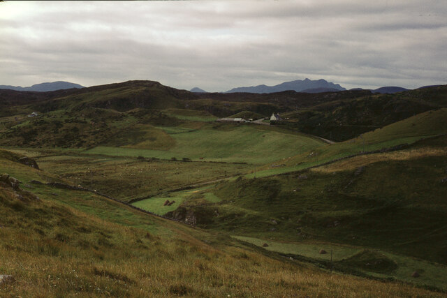
Clashclevan is a small village located in the county of Sutherland, in the northern part of Scotland. Situated amidst picturesque landscapes and surrounded by rolling hills, Clashclevan offers a tranquil and idyllic setting for its residents and visitors alike.
The village is home to a close-knit community, with a population of around 300 people. The local economy is primarily based on agriculture, with farming being the main occupation of the residents. The fertile land in the area allows for the cultivation of crops and the rearing of livestock, contributing to the village's agricultural prosperity.
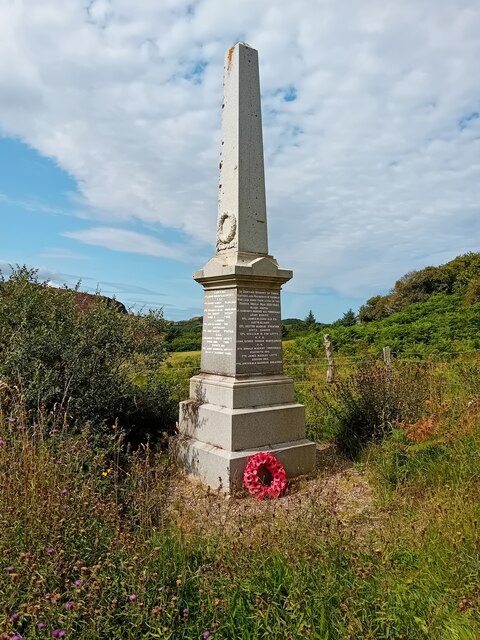
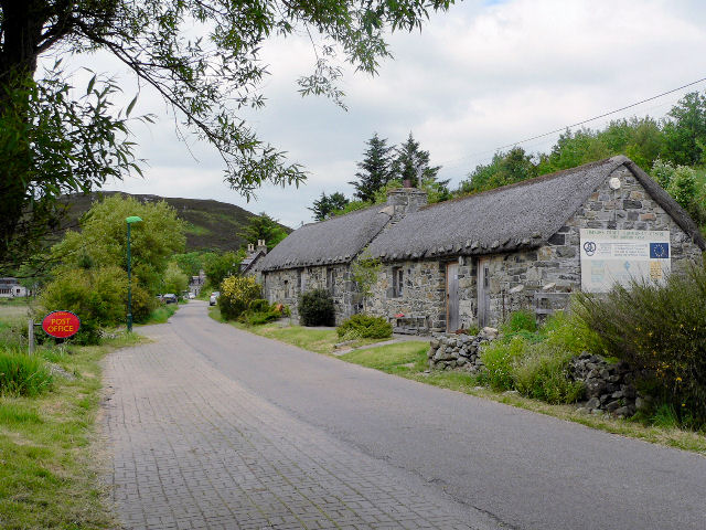
Clashclevan is also known for its rich history, dating back several centuries. The village features a number of historic buildings and landmarks, such as Clashclevan Castle, which was built in the 17th century and stands as a testament to the area's past. Visitors can explore the castle and learn about its significance in the region's history.
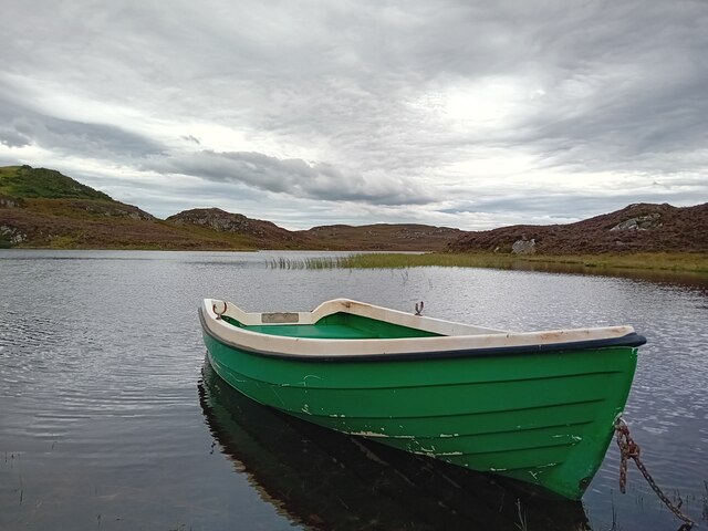
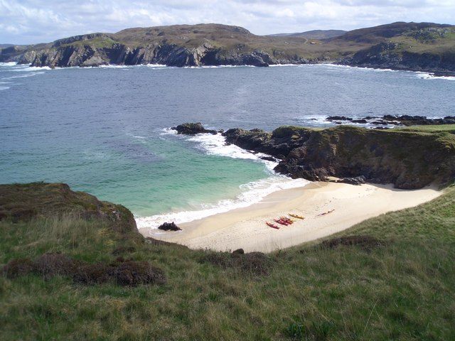
Nature enthusiasts will find themselves drawn to the natural beauty that surrounds Clashclevan. The village is situated near several stunning natural attractions, including Loch Clashclevan, a picturesque freshwater lake that offers opportunities for fishing and boating. The nearby Clashclevan Forest provides ample opportunities for hiking and exploring the scenic trails.
In terms of amenities, Clashclevan is equipped with a small grocery store, a village hall, and a primary school which serves the local community. The village also hosts various community events and festivals throughout the year, fostering a strong sense of community spirit.
Overall, Clashclevan is a charming and peaceful village that offers a delightful escape from the hustle and bustle of city life. With its beautiful landscapes, rich history, and warm community, it is a hidden gem within the stunning county of Sutherland.
If you have any feedback on the listing, please let us know in the comments section below.
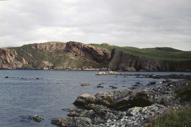
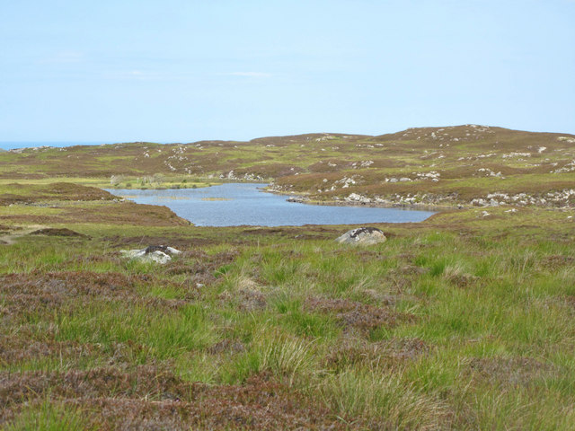
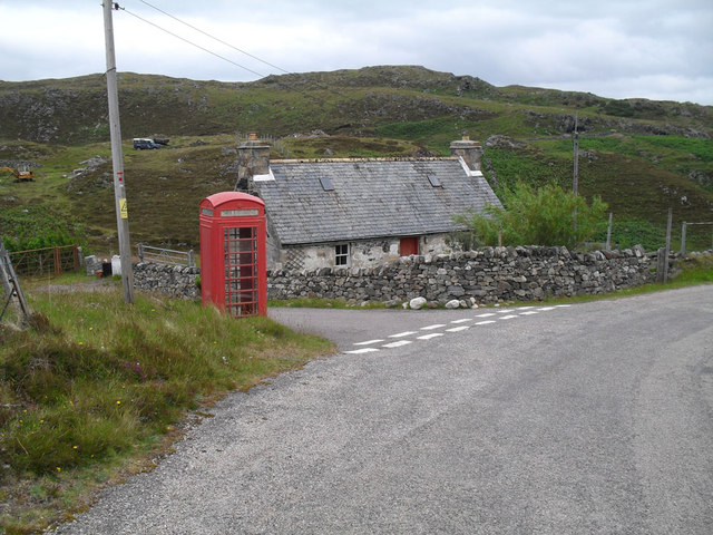
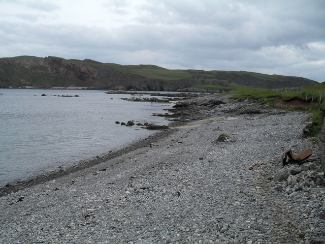
Clashclevan Images
Images are sourced within 2km of 58.533344/-4.3035755 or Grid Reference NC6562. Thanks to Geograph Open Source API. All images are credited.

Clashclevan is located at Grid Ref: NC6562 (Lat: 58.533344, Lng: -4.3035755)
Unitary Authority: Highland
Police Authority: Highlands and Islands
What 3 Words
///crabmeat.aboard.hands. Near Altnaharra, Highland
Nearby Locations
Related Wikis

Skerray
Skerray (Scottish Gaelic: Sgeirea) is a remote small crofting hamlet and fishing port on the north coast of Sutherland, Scotland. It is located 7+3⁄4 miles...
Skerray Bay
Skerray Bay is an arm of the Atlantic Ocean, located on the north coast of Sutherland, Highland, Scotland. Small and rocky, it is situated to the north...
Achtoty
Achtoty (Scottish Gaelic: Achadh Toitidh) is a remote hamlet in the Scottish Highland Council area. Achtoty is about 26 miles (42 km) west of Thurso....

Neave Island
Neave Island (Scottish Gaelic: Eilean na Naoimh, "Isle of the Saint") or Coomb(e) Island is an island on the north coast of the Scottish mainland. Neave...

Torrisdale, Sutherland
Torrisdale is a remote hamlet on the western shore of Torrisdale Bay in Sutherland, Highland, on the north coast of Scotland. It is 3 kilometres (2 mi...

Eilean nan Ròn
Eilean nan Ròn (Scottish Gaelic: island of the seals) is an island near Skerray, in the north of Sutherland, Scotland. An estimated 350 seal pups are born...

Baile Mhargaite (Sandy Dun)
Baile Mhargaite (also known as Lochan Druim An Duin, the Sandy Dun, or Invernaver Broch) is an Iron Age broch in Strathnaver, Sutherland. It is a scheduled...

Skullomie
Scullomie is a small fishing and crofting township at the head of Tongue Bay in Sutherland in the Scottish Highlands. It is located around 3 miles (4...
Nearby Amenities
Located within 500m of 58.533344,-4.3035755Have you been to Clashclevan?
Leave your review of Clashclevan below (or comments, questions and feedback).