Clarebrand

Settlement in Kirkcudbrightshire

Scotland

Clarebrand

Houses, Ringanwhey taken on the by road between Crossmichael and old Bridge of Urr
Houses, Ringanwhey Credit: Kirsty Smith

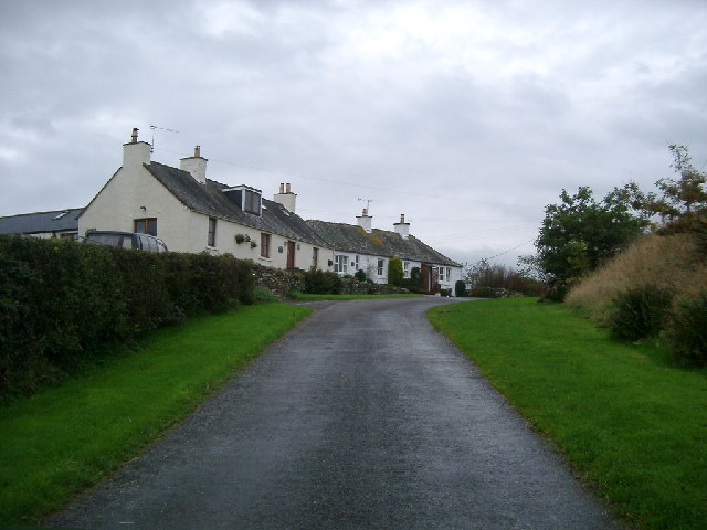
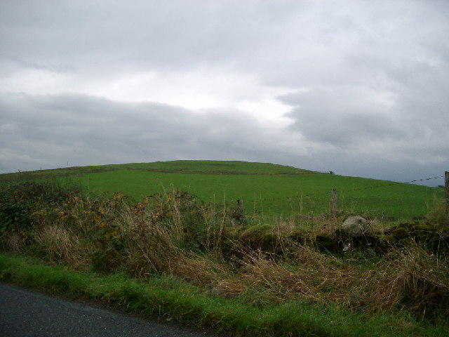
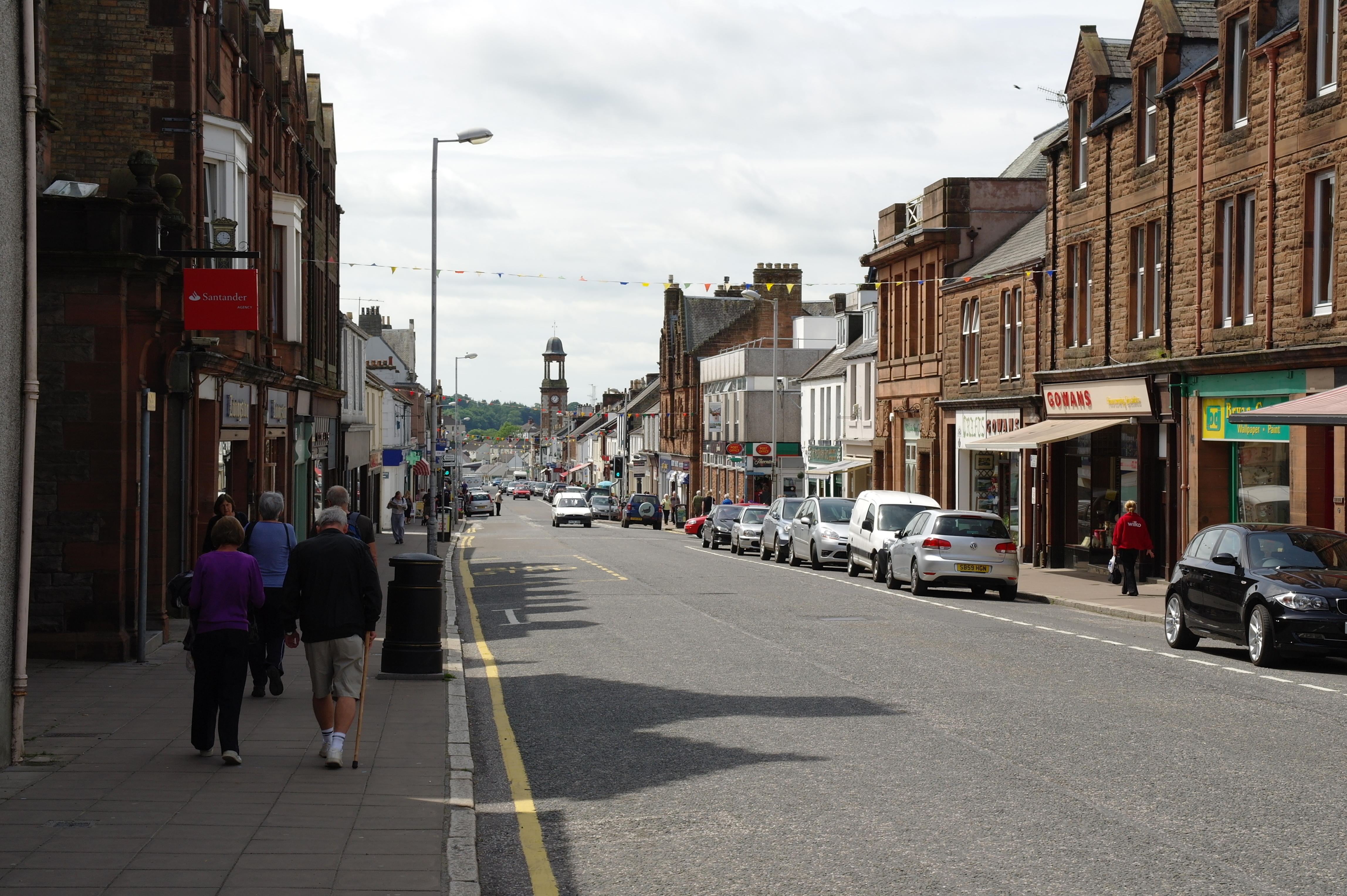
Clarebrand is a small village located in the historical county of Kirkcudbrightshire, in the southwest of Scotland. Situated about 5 miles north of the town of Castle Douglas, Clarebrand is nestled amidst the picturesque rolling hills and lush green countryside that characterizes the region.

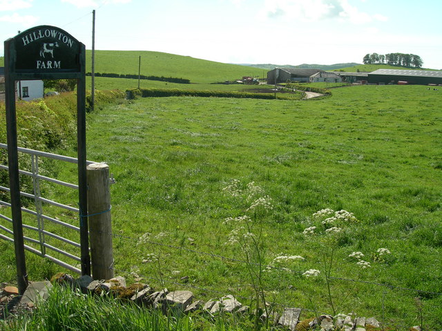
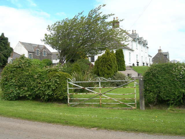
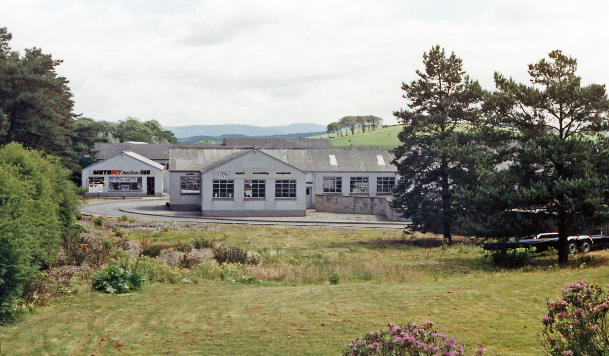
The village is home to a close-knit community and boasts a tranquil and idyllic atmosphere. It is primarily a residential area, with a small number of houses and cottages dotting the landscape. The architecture in Clarebrand reflects its historical roots, with some traditional stone-built structures still standing, showcasing the area's heritage.

Despite its size, Clarebrand has a strong sense of community spirit, which is evident in the various local events and activities that take place throughout the year. The village has a small primary school, providing education to the local children, and a community hall that serves as a hub for social gatherings and events.

Nature enthusiasts will find plenty to explore in the surrounding area, as Clarebrand is surrounded by beautiful countryside and offers easy access to nearby forests and nature reserves. Outdoor activities such as hiking, cycling, and fishing are popular among residents and visitors alike.

Overall, Clarebrand is a charming and peaceful village that provides a serene escape from the hustle and bustle of city life. Its picturesque setting and strong community spirit make it a desirable place to live for those seeking a slower pace of life amidst beautiful surroundings.

If you have any feedback on the listing, please let us know in the comments section below.

Clarebrand Images

Images are sourced within 2km of 54.972969/-3.928267 or Grid Reference NX7665. Thanks to Geograph Open Source API. All images are credited.

Houses, Ringanwhey taken on the by road between Crossmichael and old Bridge of Urr
Houses, Ringanwhey
taken on the by road between Crossmichael and old Bridge of Urr
Knockgill near B797 at Ernminzie It's not named on the 1:25000, so I hope someone local can identify it. Between Erminzie and Ellislade near Valleyfield Bridge close to the B795, though taken from the by road to the north.
Good news - one of our number supplied the name from 1st edn OS 6" - thanks for that.
Knockgill near B797 at Ernminzie
It's not named on the 1:25000, so I hope someone local can identify it. Between Erminzie and Ellislade near Valleyfield Bridge close to the B795, though taken from the by road to the north. Good news - one of our number supplied the name from 1st edn OS 6" - thanks for that.
Mote Hill north east of Clarebrand North of Castle Douglas on the Clarebrand to Old Bridge of Urr road.
Mote Hill north east of Clarebrand
North of Castle Douglas on the Clarebrand to Old Bridge of Urr road.
Part of the mill complex at Old Bridge of Urr This building to the left is the Kiln House part of the original mill complex at Old Bridge of Urr. It is now being restored as a private house. Between it and the camera was a later wooden extension which has recently been demolished. The further building to the right is the Miller's House. It was later the post office and has also recently been restored. The mills themselves (a cornmill and saw mill sharing the same wheel) are out of shot to the right.
Part of the mill complex at Old Bridge of Urr
This building to the left is the Kiln House part of the original mill complex at Old Bridge of Urr. It is now being restored as a private house. Between it and the camera was a later wooden extension which has recently been demolished. The further building to the right is the Miller's House. It was later the post office and has also recently been restored. The mills themselves (a cornmill and saw mill sharing the same wheel) are out of shot to the right.
Allanton
Allanton
The Village of Old Bridge of Urr
Ernmenzie
Ernmenzie
Hillowton Farm
Hillowton Farm
Farmland and site of cairn
Triangulation pillar and water storage facility
Gerranton farmhouse and buildings
Burn and farmland south of Dunjarg A tranquil rural scene less than 100 metres from the busy A75
Burn and farmland south of Dunjarg
A tranquil rural scene less than 100 metres from the busy A75
Entrance to Mollance
Sheep at Mollance
Sheep at Mollance
Layby on the A75 Looking northeast
Layby on the A75
Looking northeast
View North
View North
Road junction Looking Northwest
Road junction
Looking Northwest
Front entrance Mollance Remains of house burnt down  1912
Front entrance Mollance
Remains of house burnt down 1912
Show me another place!

Clarebrand is located at Grid Ref: NX7665 (Lat: 54.972969, Lng: -3.928267)

Unitary Authority: Dumfries and Galloway

Police Authority: Dumfries and Galloway

What 3 Words

///isolating.prickly.originals. Near Castle Douglas, Dumfries & Galloway

Nearby Locations

Clarebrand Cherry Hill

Related Wikis

A75 road

The A75 is a primary trunk road in Scotland, linking Stranraer and its ferry ports at Cairnryan with the A74(M) at Gretna, close to the border with England...

Castle Douglas High School

Castle Douglas High School is a comprehensive state school situated in Castle Douglas in the historical county of Kirkcudbrightshire. It has approximately...

Castle Douglas railway station

Castle Douglas railway station served the town of Castle Douglas, Dumfries and Galloway, Scotland from 1859 to 1965 on the Castle Douglas and Dumfries...

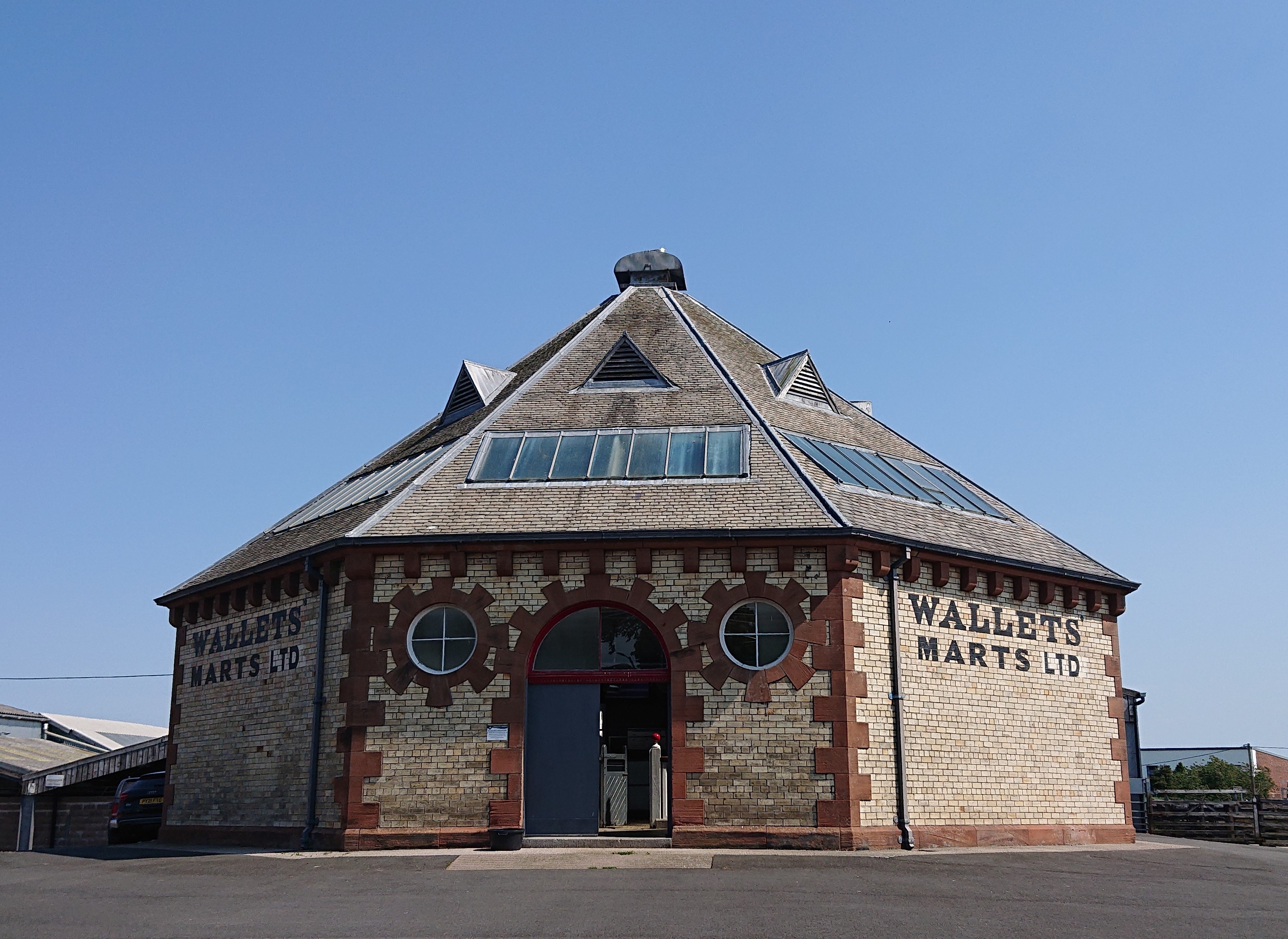
Castle Douglas Auction Mart

The Auction Mart on New Market Street in Castle Douglas is an octagonal building, constructed around 1900 as a cattle market, and used for that purpose...

Nearby Amenities

Located within 500m of 54.972969,-3.928267
Bus Stop
Village
Naptan AtcoCode: 680000060333
Naptan Bearing: SW
Naptan CommonName: Village
Naptan Indicator: Farm
Naptan Landmark: U132
Naptan NaptanCode: 34238629
Naptan Notes: none
Naptan Street: C12
Naptan Verified: no
Source: naptan_import
Lat/Long: 54.973486/-3.9277521
Bus Stop
Village
Naptan AtcoCode: 680000060444
Naptan Bearing: NE
Naptan CommonName: Village
Naptan Indicator: opp Farm
Naptan Landmark: U132
Naptan NaptanCode: 34238523
Naptan Notes: none
Naptan Street: C12
Naptan Verified: no
Source: naptan_import
Lat/Long: 54.9734925/-3.9279086
Clarebrand
Place: hamlet
Lat/Long: 54.972975/-3.9281925
Mote Hill
Natural: peak
Lat/Long: 54.9751218/-3.9223493
Clarebrand Hill
Natural: peak
Lat/Long: 54.9739285/-3.9324816
Power: pole
Lat/Long: 54.9724255/-3.9302347
Power: pole
Lat/Long: 54.9718158/-3.9307382
Power: pole
Lat/Long: 54.9716548/-3.9337826
Power: pole
Lat/Long: 54.9709793/-3.9334915
Power: pole
Lat/Long: 54.9701123/-3.9331474
Power: pole
Lat/Long: 54.9694867/-3.9329073
Power: pole
Lat/Long: 54.9715171/-3.9299373
Power: pole
Lat/Long: 54.9712146/-3.9291151
Power: pole
Lat/Long: 54.9708208/-3.9280444
Power: pole
Lat/Long: 54.9704415/-3.9270098
Power: pole
Lat/Long: 54.9704269/-3.9257989
Power: pole
Lat/Long: 54.9704062/-3.9245497
Power: pole
Lat/Long: 54.9703842/-3.9228947
Power: pole
Lat/Long: 54.9702037/-3.9247409
Power: pole
Lat/Long: 54.9705354/-3.9245752
Power: pole
Lat/Long: 54.9709/-3.9243903
Power: pole
Lat/Long: 54.9712695/-3.9241949
Power: pole
Lat/Long: 54.9769529/-3.9259122
Power: pole
Lat/Long: 54.9762954/-3.9265974
Power: pole
Lat/Long: 54.9755466/-3.9273081
Power: pole
Lat/Long: 54.9747126/-3.9280591
Power: pole
Lat/Long: 54.9739686/-3.9288058
Power: pole
Lat/Long: 54.9731309/-3.9296014
The data included in this document is from www.openstreetmap.org. The data is made available under ODbL.

Have you been to Clarebrand?

Leave your review of Clarebrand below (or comments, questions and feedback).