Clardon

Settlement in Caithness

Scotland

Clardon

Coast at Clardon Exposed flagstone beds on the coast at Clardon.
Coast at Clardon Credit: david glass

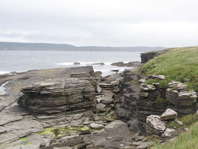
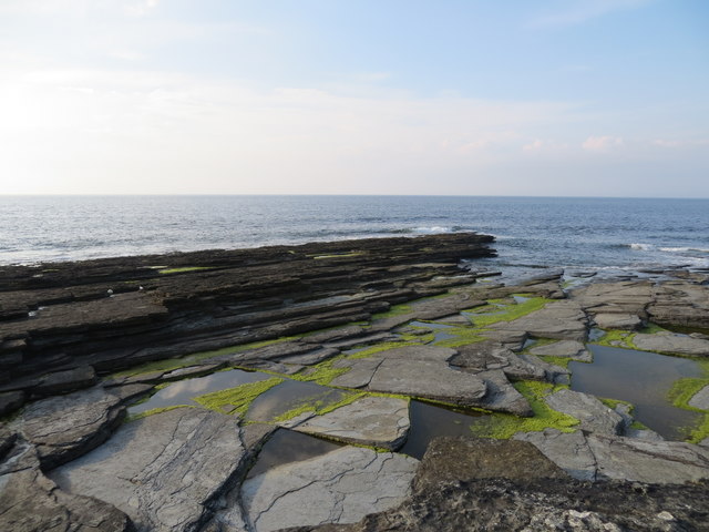
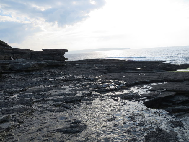
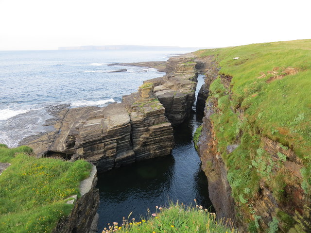
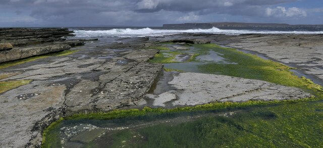
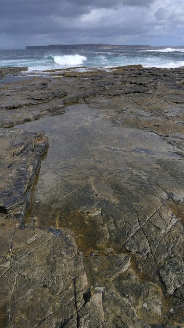
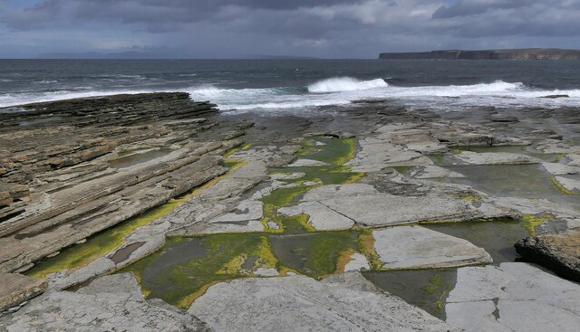
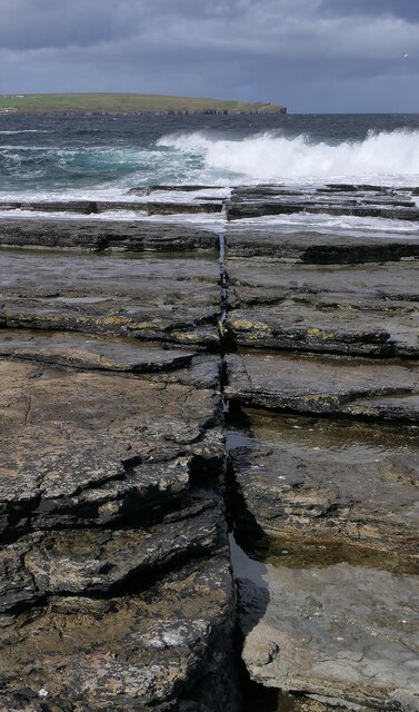
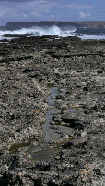
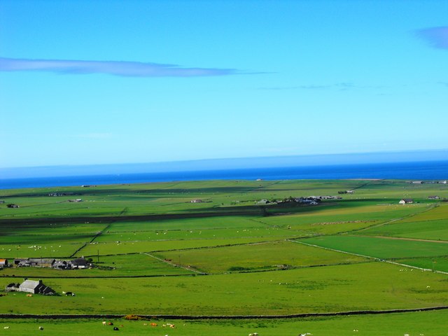
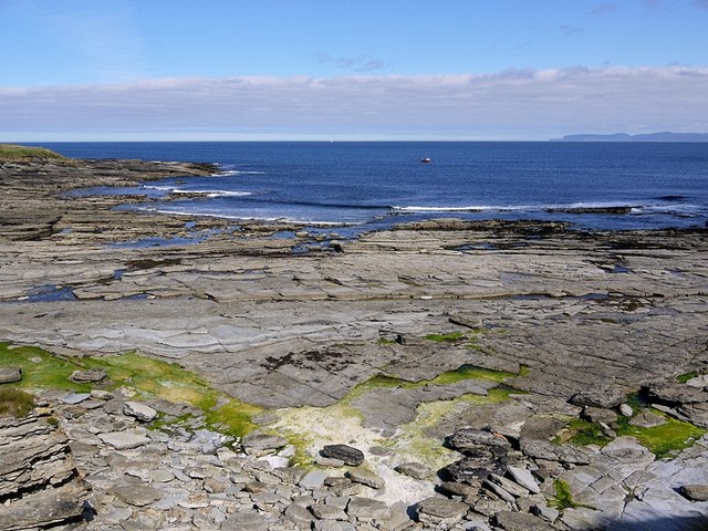
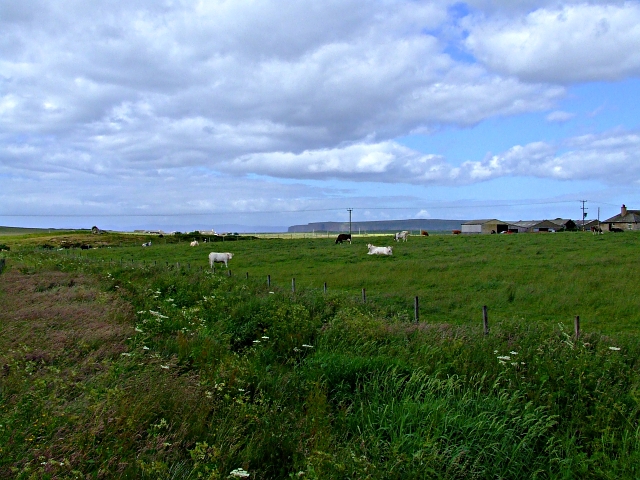
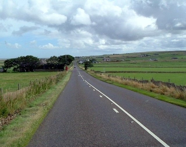
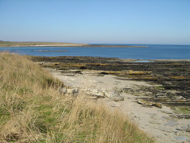
Clardon is a small village located in the county of Caithness in the northern region of Scotland. Situated near the coast, Clardon offers stunning views of the North Sea and the surrounding countryside. The village is known for its peaceful and picturesque setting, making it a popular destination for those seeking a quiet and relaxing getaway.

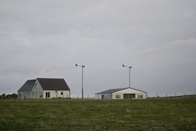
Clardon is home to a tight-knit community of residents who take pride in their village and its surroundings. The village features a few local shops, a pub, and a primary school, providing residents with essential amenities within easy reach. The village also has a rich history, with several historic buildings and landmarks dating back centuries.

Surrounded by rolling hills and lush greenery, Clardon is a paradise for outdoor enthusiasts. The surrounding countryside offers a variety of walking and hiking trails, perfect for exploring the natural beauty of the area. The nearby coast also provides opportunities for fishing, birdwatching, and other outdoor activities.

Overall, Clardon is a charming and peaceful village that offers a perfect blend of natural beauty, history, and community spirit.

If you have any feedback on the listing, please let us know in the comments section below.
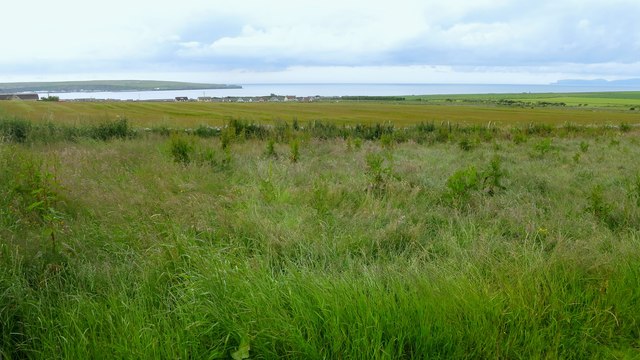
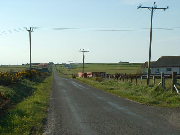
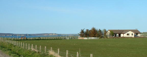
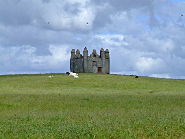
Clardon Images

Images are sourced within 2km of 58.59459/-3.4709432 or Grid Reference ND1468. Thanks to Geograph Open Source API. All images are credited.

Coast at Clardon Exposed flagstone beds on the coast at Clardon.
Coast at Clardon
Exposed flagstone beds on the coast at Clardon.
East Lug of Tang on the coast at Murkle
Coast at East Lug of Tang Holborn Head in the distance
Coast at East Lug of Tang
Holborn Head in the distance
Murphy's Craig at West Murkle
East Lug of Tang, Caithness Looking towards Dunnet Head.
East Lug of Tang, Caithness
Looking towards Dunnet Head.
Coastline to the east of East Lug of Tang, Caithness Looking towards Dunnet Head.
Coastline to the east of East Lug of Tang, Caithness
Looking towards Dunnet Head.
East Lug of Tang, Caithness Hoy can just be seen in the distance on the left and Dunnet Head is to the right.
East Lug of Tang, Caithness
Hoy can just be seen in the distance on the left and Dunnet Head is to the right.
Rock slab, East Lug of Tang, Caithness Looking towards Holborn Head.
Rock slab, East Lug of Tang, Caithness
Looking towards Holborn Head.
East Lug of Tang, Caithness Looking towards Dunnet Head.
East Lug of Tang, Caithness
Looking towards Dunnet Head.
View to Murkle and The Pentland Firth View from Castletown/Wedale Road
View to Murkle and The Pentland Firth
View from Castletown/Wedale Road
Clardon Haven
Clardon Haven
Turbines at Tiltyard
Towards the Pentland Firth A view of farmland just outside Thurso. Holburn Head (left) and the Orkney island of Hoy (right) can be seen in the background.
Towards the Pentland Firth
A view of farmland just outside Thurso. Holburn Head (left) and the Orkney island of Hoy (right) can be seen in the background.
Caithness single-track country road Lots of new houses are going up along this road.
Caithness single-track country road
Lots of new houses are going up along this road.
Beautiful sea views Haimer looks out over Dunnet Bay
Beautiful sea views
Haimer looks out over Dunnet Bay
Harolds Tower near Thurso The site of a battle. See <span class="nowrap"><a title="http://www.scottish-places.info/features/featurefirst18637.html" rel="nofollow ugc noopener" href="http://www.scottish-places.info/features/featurefirst18637.html">Link</a><img style="margin-left:2px;" alt="External link" title="External link - shift click to open in new window" src="https://s1.geograph.org.uk/img/external.png" width="10" height="10"/></span>
Harolds Tower near Thurso
The site of a battle. See LinkExternal link
Farmland near Thurso Farmland all around here.
Farmland near Thurso
Farmland all around here.
Show me another place!

Clardon is located at Grid Ref: ND1468 (Lat: 58.59459, Lng: -3.4709432)

Unitary Authority: Highland

Police Authority: Highlands and Islands

What 3 Words

///awestruck.mouth.perfume. Near Thurso, Highland

Nearby Locations

Clardon

Related Wikis

Haimer

Haimer is a small hamlet in Caithness, Scotland. It is located on a road just off the A836 and consists of several small settlements and farming facilities...

Murkle

Murkle (Murchill) is a small scattered hamlet, made up of East Murkle and West Murkle located one mile (1.6 km) east of Thurso, in Caithness, Scottish...

River Thurso

The River Thurso (Scottish Gaelic: Abhainn TheĆ²rsa) has Loch Rumsdale in Caithness as its source, about 26 kilometres south and 14 kilometres west of the...
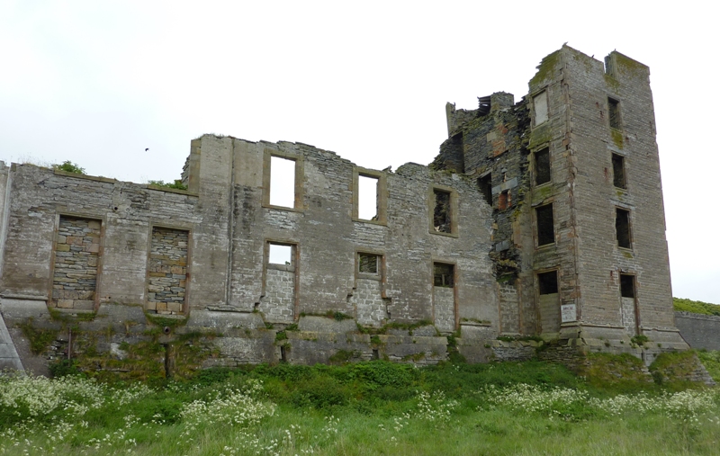
Thurso Castle

Thurso Castle (alternatively, Castrum De Thorsa, Castle of Ormly, and Castle of Ormlie) is a ruined 19th-century castle, located in Thurso, Caithness,...

Nearby Amenities

Located within 500m of 58.59459,-3.4709432
Power: pole
Lat/Long: 58.5947043/-3.4629743
Power: pole
Lat/Long: 58.5946645/-3.4641569
Power: pole
Lat/Long: 58.5945735/-3.4668168
Power: pole
Lat/Long: 58.5945223/-3.4681667
Power: pole
Lat/Long: 58.5944901/-3.4696222
Power: pole
Lat/Long: 58.5944464/-3.4709976
Power: pole
Lat/Long: 58.5937051/-3.470914
Power: pole
Lat/Long: 58.5931059/-3.4708667
Power: pole
Lat/Long: 58.5921805/-3.4708012
Power: pole
Lat/Long: 58.5915472/-3.4704955
Power: pole
Lat/Long: 58.5909499/-3.4702335
Power: pole
Lat/Long: 58.5903487/-3.4699679
Power: pole
Lat/Long: 58.594619/-3.4654868
Power: pole
Lat/Long: 58.594405/-3.4722739
Power: pole
Lat/Long: 58.594358/-3.4737565
Power: pole
Lat/Long: 58.594311/-3.4752906
Power: pole
Lat/Long: 58.5942595/-3.4769193
Power: pole
Lat/Long: 58.5942236/-3.4779377
Power: pole
Lat/Long: 58.5941856/-3.478939
The data included in this document is from www.openstreetmap.org. The data is made available under ODbL.

Have you been to Clardon?

Leave your review of Clardon below (or comments, questions and feedback).