Claddach Kyles

Settlement in Inverness-shire

Scotland

Claddach Kyles

Floral machair The machair is a wonderful grassland ecosystem, that is fast getting quite rare as farming pratcises change. It houses a wide range of flowering plants and in summer is a wonderful sight.
Floral machair Credit: Malcolm Neal

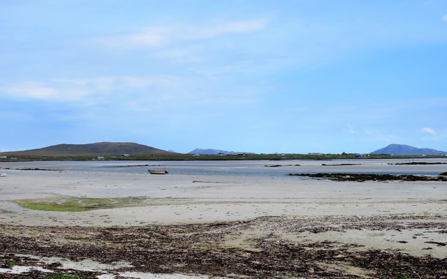
Claddach Kyles is a small village located in Inverness-shire, Scotland. Situated on the western shore of Loch Carron, the village offers breathtaking views of the surrounding countryside and the nearby Isle of Skye. With a population of just over 100 residents, Claddach Kyles is a close-knit community that prides itself on its natural beauty and peaceful ambiance.

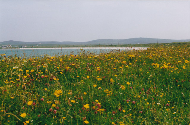
The village is renowned for its picturesque coastal setting, which attracts visitors from near and far. Claddach Kyles is a popular destination for outdoor enthusiasts, with opportunities for hiking, fishing, and boating readily available. The surrounding area boasts a diverse range of wildlife, including seals, otters, and various bird species, making it a haven for nature lovers.

In terms of amenities, Claddach Kyles offers a few local businesses, including a small general store and a cozy pub where locals and visitors can gather for a pint and a meal. The village also has a primary school, ensuring that families have access to education within the community.

While Claddach Kyles may be small, its charm and natural beauty make it an ideal place for those seeking a peaceful retreat or a base for exploring the Scottish Highlands. The village's proximity to other popular tourist destinations, such as the Isle of Skye and the famous Eilean Donan Castle, further enhances its appeal. With its stunning landscapes and tranquil atmosphere, Claddach Kyles is truly a hidden gem in Inverness-shire.

If you have any feedback on the listing, please let us know in the comments section below.

Claddach Kyles Images

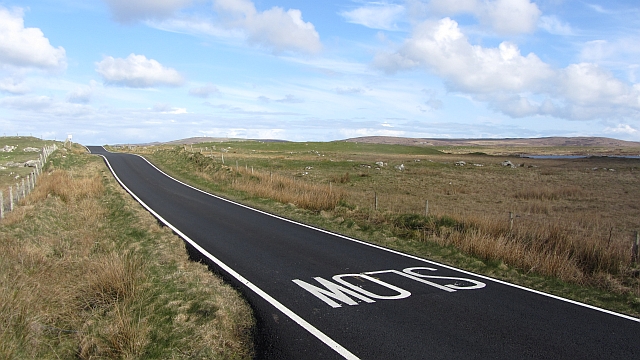
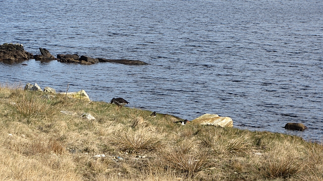
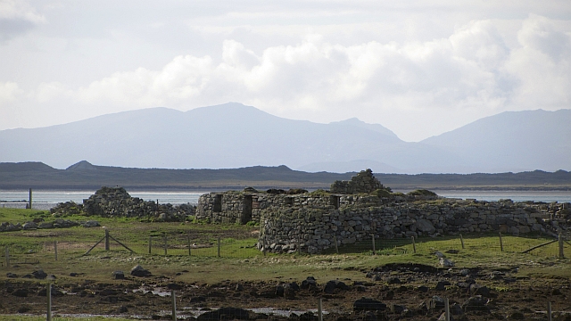
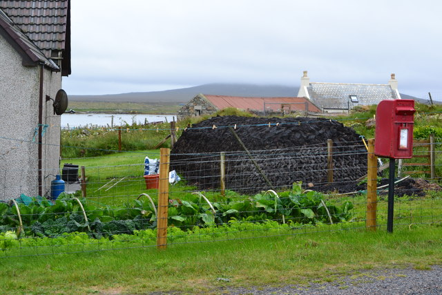
Images are sourced within 2km of 57.576393/-7.4067978 or Grid Reference NF7666. Thanks to Geograph Open Source API. All images are credited.
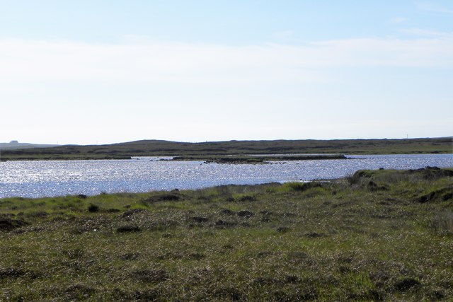
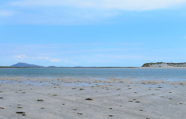
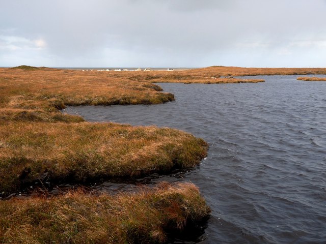
Floral machair The machair is a wonderful grassland ecosystem, that is fast getting quite rare as farming pratcises change. It houses a wide range of flowering plants and in summer is a wonderful sight.
Floral machair
The machair is a wonderful grassland ecosystem, that is fast getting quite rare as farming pratcises change. It houses a wide range of flowering plants and in summer is a wonderful sight.
Old trailer on the moor The Committee Road runs past this point with several tracks leading off either side giving access to peat diggings. One would guess that this old trailer was once used to transport the peats.
Old trailer on the moor
The Committee Road runs past this point with several tracks leading off either side giving access to peat diggings. One would guess that this old trailer was once used to transport the peats.
Loch Bruist One of the innumerable small lochs that dot the North Uist landscape.
Loch Bruist
One of the innumerable small lochs that dot the North Uist landscape.
Loch Ardheisgeir Tidal, freshwater or brackish? I suspect it is the last of these three, and like other near sea level lochs around the Uists [Loch Bi on South Uist is a good example] it might be invaded by seawater on high spring tides.
Loch Ardheisgeir
Tidal, freshwater or brackish? I suspect it is the last of these three, and like other near sea level lochs around the Uists [Loch Bi on South Uist is a good example] it might be invaded by seawater on high spring tides.
Miles of sand - Caolas Phaibell Looking out across the tidal flats between 'mainland' North Uist and the island of Kirkibost, which is off picture to the right.
Miles of sand - Caolas Phaibell
Looking out across the tidal flats between 'mainland' North Uist and the island of Kirkibost, which is off picture to the right.
Sand and sea channels Oitir Mhor Large areas of sand between 'mainland' North Uist and the sandy island of Kirkibost, the dunes on that island being visible to the right.
Sand and sea channels Oitir Mhor
Large areas of sand between 'mainland' North Uist and the sandy island of Kirkibost, the dunes on that island being visible to the right.
Sand, sea and Kirkibost Island
Westford Inn Substantial stone house at Claddach on the west coast of North Uist - an inn and a B&B.
Westford Inn
Substantial stone house at Claddach on the west coast of North Uist - an inn and a B&B.
North end of Loch an Droma Eaval, North Uist's highest hill, shows against the silver dawn light
North end of Loch an Droma
Eaval, North Uist's highest hill, shows against the silver dawn light
Loch an Droma A typical peaty loch on the moors near Clachan
Loch an Droma
A typical peaty loch on the moors near Clachan
Loch nan Athan
Loch nan Athan
Moor track by Loch Dubhasairidh An access route over wet boggy ground to the peat cuttings
Moor track by Loch Dubhasairidh
An access route over wet boggy ground to the peat cuttings
Abandoned house, Cladach a' Chaolais Old housing stock on the west side of North Uist.
Abandoned house, Cladach a' Chaolais
Old housing stock on the west side of North Uist.
New road surface, A865 Newly resurfaced single track road.
New road surface, A865
Newly resurfaced single track road.
Loch Ardheisker A loch which is accessible to the higher tides. A greylag goose and some oystercatchers feed by the shore.
Loch Ardheisker
A loch which is accessible to the higher tides. A greylag goose and some oystercatchers feed by the shore.
Cladach Chnoc a Lin Ruins of black houses on the shoreline. The distant hills are Hecla and Beinn Mhòr on South Uist.
Cladach Chnoc a Lin
Ruins of black houses on the shoreline. The distant hills are Hecla and Beinn Mhòr on South Uist.
Wetland, Cladach Chnoc a Lin Wet pasture on the inside of the road which runs around North Uist.
Wetland, Cladach Chnoc a Lin
Wet pasture on the inside of the road which runs around North Uist.
Cottage garden scene with pillar box and large pile of cut peat
Show me another place!

Claddach Kyles is located at Grid Ref: NF7666 (Lat: 57.576393, Lng: -7.4067978)

Unitary Authority: Na h-Eileanan an Iar

Police Authority: Highlands and Islands

Also known as: Cladach a' Chaolais

What 3 Words

///devalued.binder.outnumber. Near Balivanich, Na h-Eileanan Siar

Related Wikis

Ardheisker

Ardheisker (Scottish Gaelic: Àird Heillsgeir) is a settlement on North Uist, in the Outer Hebrides, Scotland. Ardheisker is within the parish of North...

Kirkibost

Kirkibost (Scottish Gaelic: Eilean Chirceaboist) is a low-lying island west of North Uist in the Outer Hebrides of Scotland. == Geography == Kirkibost...

North Uist

North Uist (Scottish Gaelic: Uibhist a Tuath; Scots: North Uise) is an island and community in the Outer Hebrides of Scotland. == Etymology == In Donald...

RRH Benbecula

Remote Radar Head Benbecula or RRH Benbecula, is an air defence radar station operated by the Royal Air Force. It is located at Cleitreabhal a'Deas, 17...

Nearby Amenities

Located within 500m of 57.576393,-7.4067978
Bus Stop
Claddach Kyles
Bus: yes
Naptan AtcoCode: 6010731609
Naptan Bearing: NW
Naptan BusStopType: CUS
Naptan CommonName: Claddach Kyles
Naptan Indicator: Committee road end
Naptan Landmark: Road junction
Naptan NaptanCode: 94723547
Naptan Street: A865
Naptan Verified: no
Public Transport: platform
Source: naptan_import
Lat/Long: 57.5784109/-7.4089244
Passing Place
Lat/Long: 57.5792972/-7.4129568
Passing Place
Lat/Long: 57.5747507/-7.4031535
Passing Place
Lat/Long: 57.5768111/-7.4064968
Cladach a' Chaolais
Name En: Claddach Kyles
Name Gd: Cladach a' Chaolais
Place: hamlet
Lat/Long: 57.5736855/-7.401972
Passing Place
Lat/Long: 57.5737695/-7.4014977
Barrier: cattle_grid
Lat/Long: 57.5767391/-7.4066483
Passing Place
Lat/Long: 57.5761479/-7.4053978
Passing Place
Lat/Long: 57.5776195/-7.4078272
Passing Place
Lat/Long: 57.5792911/-7.4118514
Power: pole
Lat/Long: 57.5729433/-7.4024156
Power: pole
Lat/Long: 57.5734028/-7.4031999
Power: pole
Lat/Long: 57.5739673/-7.4041883
Power: pole
Lat/Long: 57.5744311/-7.4049914
Power: pole
Lat/Long: 57.5748833/-7.4057461
Power: pole
Lat/Long: 57.575337/-7.4065116
Power: pole
Lat/Long: 57.5758367/-7.407363
Power: pole
Lat/Long: 57.5763177/-7.4082118
Power: pole
Lat/Long: 57.5772495/-7.4095494
Power: pole
Lat/Long: 57.576731/-7.4089316
Power: pole
Lat/Long: 57.5777665/-7.41028
Power: pole
Lat/Long: 57.5784188/-7.4112093
Power: pole
Lat/Long: 57.578223/-7.411776
Power: pole
Lat/Long: 57.5780415/-7.412289
Power: pole
Lat/Long: 57.5774554/-7.4131647
Power: pole
Lat/Long: 57.5787183/-7.411674
Power: pole
Lat/Long: 57.578871/-7.4099523
Power: pole
Lat/Long: 57.5790711/-7.4094258
Power: pole
Lat/Long: 57.5793836/-7.4085798
Power: pole
Lat/Long: 57.5790798/-7.4128638
Power: pole
Lat/Long: 57.5796764/-7.4078147
Power: pole
Lat/Long: 57.5799266/-7.4074285
Power: pole
Lat/Long: 57.5802228/-7.4070154
Power: pole
Lat/Long: 57.5805219/-7.4065541
Power: pole
Lat/Long: 57.5808699/-7.4060713
Power: pole
Lat/Long: 57.5748148/-7.4087053
Power: pole
Lat/Long: 57.5743286/-7.4083271
Power: pole
Lat/Long: 57.5753383/-7.4090701
Barrier: cattle_grid
Lat/Long: 57.5745816/-7.4032286
Barrier: cattle_grid
Lat/Long: 57.5727158/-7.4054747
Power: pole
Lat/Long: 57.5722475/-7.4053043
Power: pole
Lat/Long: 57.5727236/-7.4040678
Power: pole
Lat/Long: 57.5740309/-7.4009162
Power: pole
Lat/Long: 57.5739461/-7.4016377
Power: pole
Lat/Long: 57.574297/-7.4021795
Power: pole
Lat/Long: 57.5745774/-7.4026355
Barrier: cattle_grid
Lat/Long: 57.574975/-7.4040882
Passing Place
Lat/Long: 57.5807294/-7.4058601
Power: pole
Lat/Long: 57.5802589/-7.4065418
Power: pole
Lat/Long: 57.5802776/-7.4061421
Barrier: cattle_grid
Lat/Long: 57.5795983/-7.4079064
Passing Place
Lat/Long: 57.5796728/-7.4072657
The data included in this document is from www.openstreetmap.org. The data is made available under ODbL.

Have you been to Claddach Kyles?

Leave your review of Claddach Kyles below (or comments, questions and feedback).