Aird nan Ceapan

Coastal Feature, Headland, Point in Inverness-shire

Scotland

Aird nan Ceapan

Old Milestone by the A865, Bayhead, North Uist Granite slab by the A865, in parish of North Uist (North Uist District), Bayhead, in passing place East of 'SLOW' on road.

Surveyed

Milestone Society National ID: WI_NUCW04
Old Milestone by the A865, Bayhead, North Uist Credit: Milestone Society

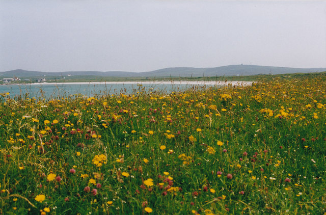
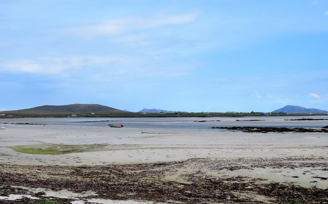
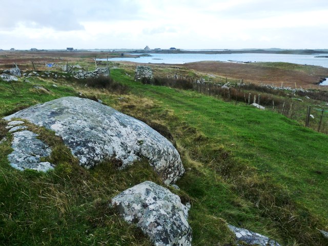
Aird nan Ceapan is a prominent coastal feature located in Inverness-shire, Scotland. It is a headland and point that juts out into the North Sea, offering stunning views of the surrounding landscape and the vast expanse of the ocean. This coastal formation is known for its rugged beauty, with steep cliffs and rocky outcrops that create a dramatic and picturesque scenery.

The headland is situated on the eastern coast of Inverness-shire, near the town of Nairn. It is characterized by its distinctive shape, with a narrow strip of land extending into the sea. Aird nan Ceapan is a popular destination for tourists and locals alike, who come to enjoy the breathtaking views and immerse themselves in the tranquility of the natural surroundings.

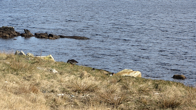
The headland is also home to a diverse range of flora and fauna. The coastal cliffs provide nesting sites for various seabirds, including gulls and fulmars. The surrounding waters are inhabited by a variety of marine life, such as seals and dolphins, which can often be spotted swimming in the sea.

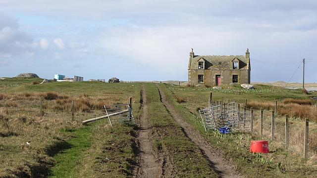
Visitors to Aird nan Ceapan can explore the area by foot, following the coastal path that winds its way around the headland. This allows for a closer look at the unique rock formations and provides opportunities for birdwatching and wildlife spotting. Additionally, the headland is a popular spot for fishing, with anglers often casting their lines from the cliffs or the nearby beach.

Overall, Aird nan Ceapan is a captivating coastal feature that offers a blend of natural beauty, wildlife, and recreational activities. Its rugged charm and breathtaking views make it a must-visit destination for those exploring the Inverness-shire coast.

If you have any feedback on the listing, please let us know in the comments section below.

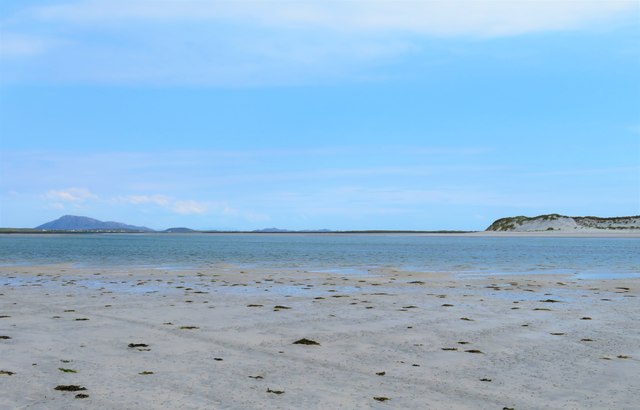
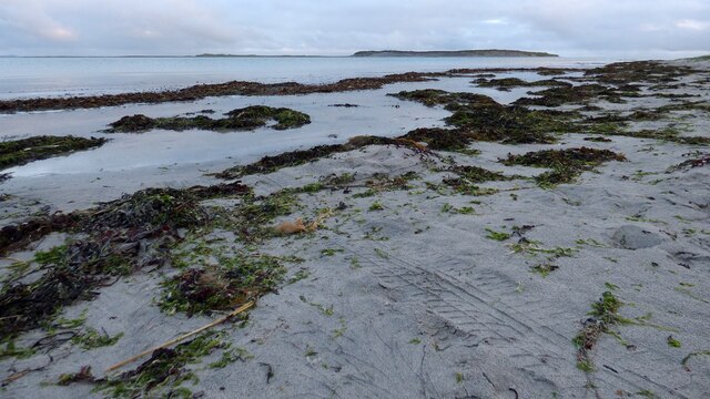
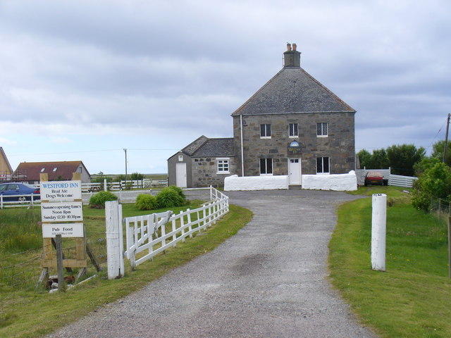
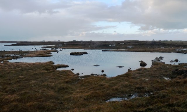
Aird nan Ceapan Images

Images are sourced within 2km of 57.57469/-7.412307 or Grid Reference NF7666. Thanks to Geograph Open Source API. All images are credited.
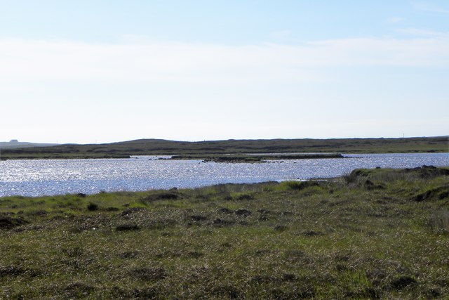
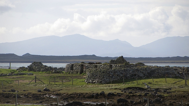
Old Milestone by the A865, Bayhead, North Uist Granite slab by the A865, in parish of North Uist (North Uist District), Bayhead, in passing place East of 'SLOW' on road.

Surveyed

Milestone Society National ID: WI_NUCW04
Old Milestone by the A865, Bayhead, North Uist
Granite slab by the A865, in parish of North Uist (North Uist District), Bayhead, in passing place East of 'SLOW' on road. Surveyed Milestone Society National ID: WI_NUCW04
Floral machair The machair is a wonderful grassland ecosystem, that is fast getting quite rare as farming pratcises change. It houses a wide range of flowering plants and in summer is a wonderful sight.
Floral machair
The machair is a wonderful grassland ecosystem, that is fast getting quite rare as farming pratcises change. It houses a wide range of flowering plants and in summer is a wonderful sight.
Old trailer on the moor The Committee Road runs past this point with several tracks leading off either side giving access to peat diggings. One would guess that this old trailer was once used to transport the peats.
Old trailer on the moor
The Committee Road runs past this point with several tracks leading off either side giving access to peat diggings. One would guess that this old trailer was once used to transport the peats.
Loch Bruist One of the innumerable small lochs that dot the North Uist landscape.
Loch Bruist
One of the innumerable small lochs that dot the North Uist landscape.
Loch Ardheisgeir Tidal, freshwater or brackish? I suspect it is the last of these three, and like other near sea level lochs around the Uists [Loch Bi on South Uist is a good example] it might be invaded by seawater on high spring tides.
Loch Ardheisgeir
Tidal, freshwater or brackish? I suspect it is the last of these three, and like other near sea level lochs around the Uists [Loch Bi on South Uist is a good example] it might be invaded by seawater on high spring tides.
Miles of sand - Caolas Phaibell Looking out across the tidal flats between 'mainland' North Uist and the island of Kirkibost, which is off picture to the right.
Miles of sand - Caolas Phaibell
Looking out across the tidal flats between 'mainland' North Uist and the island of Kirkibost, which is off picture to the right.
Sand and sea channels Oitir Mhor Large areas of sand between 'mainland' North Uist and the sandy island of Kirkibost, the dunes on that island being visible to the right.
Sand and sea channels Oitir Mhor
Large areas of sand between 'mainland' North Uist and the sandy island of Kirkibost, the dunes on that island being visible to the right.
Shoreline at Sgeir a' Chotain As one heads south westwards along this beach, so white sand tends to give way to pebble and seaweed. The northern end of Kirkibost Island is to the left, whilst to the south the view is towards the big hills of South Uist, the low island of Benbecula hardly showing at all.
Shoreline at Sgeir a' Chotain
As one heads south westwards along this beach, so white sand tends to give way to pebble and seaweed. The northern end of Kirkibost Island is to the left, whilst to the south the view is towards the big hills of South Uist, the low island of Benbecula hardly showing at all.
Vehicle graveyard One of many little out of the way corners on the Uists where old and unwanted vehicles come to die. Is there no scrap yard on the Western isles?
Vehicle graveyard
One of many little out of the way corners on the Uists where old and unwanted vehicles come to die. Is there no scrap yard on the Western isles?
Sand, sea and Kirkibost Island
Westford Inn Substantial stone house at Claddach on the west coast of North Uist - an inn and a B&B.
Westford Inn
Substantial stone house at Claddach on the west coast of North Uist - an inn and a B&B.
Loch nan Athan
Loch nan Athan
Moor track by Loch Dubhasairidh An access route over wet boggy ground to the peat cuttings
Moor track by Loch Dubhasairidh
An access route over wet boggy ground to the peat cuttings
Abandoned house, Cladach a' Chaolais Old housing stock on the west side of North Uist.
Abandoned house, Cladach a' Chaolais
Old housing stock on the west side of North Uist.
New road surface, A865 Newly resurfaced single track road.
New road surface, A865
Newly resurfaced single track road.
Loch Ardheisker A loch which is accessible to the higher tides. A greylag goose and some oystercatchers feed by the shore.
Loch Ardheisker
A loch which is accessible to the higher tides. A greylag goose and some oystercatchers feed by the shore.
Cladach Chnoc a Lin Ruins of black houses on the shoreline. The distant hills are Hecla and Beinn Mhòr on South Uist.
Cladach Chnoc a Lin
Ruins of black houses on the shoreline. The distant hills are Hecla and Beinn Mhòr on South Uist.
Wetland, Cladach Chnoc a Lin Wet pasture on the inside of the road which runs around North Uist.
Wetland, Cladach Chnoc a Lin
Wet pasture on the inside of the road which runs around North Uist.
Show me another place!

Aird nan Ceapan is located at Grid Ref: NF7666 (Lat: 57.57469, Lng: -7.412307)

Unitary Authority: Na h-Eileanan an Iar

Police Authority: Highlands and Islands

What 3 Words

///skimmers.cropping.posed. Near Balivanich, Na h-Eileanan Siar

Related Wikis

Ardheisker

Ardheisker (Scottish Gaelic: Àird Heillsgeir) is a settlement on North Uist, in the Outer Hebrides, Scotland. Ardheisker is within the parish of North...

Kirkibost

Kirkibost (Scottish Gaelic: Eilean Chirceaboist) is a low-lying island west of North Uist in the Outer Hebrides of Scotland. == Geography == Kirkibost...

RRH Benbecula

Remote Radar Head Benbecula or RRH Benbecula, is an air defence radar station operated by the Royal Air Force. It is located at Cleitreabhal a'Deas, 17...

Baleshare

Baleshare (Scottish Gaelic: Baile Sear) is a flat tidal island in the Outer Hebrides of Scotland. Baleshare lies to the south-west of North Uist. Its economics...

Nearby Amenities

Located within 500m of 57.57469,-7.412307
Bus Stop
Claddach Kyles
Bus: yes
Naptan AtcoCode: 6010731609
Naptan Bearing: NW
Naptan BusStopType: CUS
Naptan CommonName: Claddach Kyles
Naptan Indicator: Committee road end
Naptan Landmark: Road junction
Naptan NaptanCode: 94723547
Naptan Street: A865
Naptan Verified: no
Public Transport: platform
Source: naptan_import
Lat/Long: 57.5784109/-7.4089244
Passing Place
Lat/Long: 57.5768111/-7.4064968
Barrier: cattle_grid
Lat/Long: 57.5767391/-7.4066483
Passing Place
Lat/Long: 57.5761479/-7.4053978
Passing Place
Lat/Long: 57.5776195/-7.4078272
Power: pole
Lat/Long: 57.5739673/-7.4041883
Power: pole
Lat/Long: 57.5744311/-7.4049914
Power: pole
Lat/Long: 57.5748833/-7.4057461
Power: pole
Lat/Long: 57.575337/-7.4065116
Power: pole
Lat/Long: 57.5758367/-7.407363
Power: pole
Lat/Long: 57.5763177/-7.4082118
Power: pole
Lat/Long: 57.5772495/-7.4095494
Power: pole
Lat/Long: 57.576731/-7.4089316
Power: pole
Lat/Long: 57.5777665/-7.41028
Power: pole
Lat/Long: 57.5784188/-7.4112093
Power: pole
Lat/Long: 57.578223/-7.411776
Power: pole
Lat/Long: 57.5780415/-7.412289
Power: pole
Lat/Long: 57.5774554/-7.4131647
Power: pole
Lat/Long: 57.5787183/-7.411674
Power: pole
Lat/Long: 57.578871/-7.4099523
Power: pole
Lat/Long: 57.5790798/-7.4128638
Power: pole
Lat/Long: 57.5791226/-7.4136462
Power: pole
Lat/Long: 57.5748148/-7.4087053
Power: pole
Lat/Long: 57.5743286/-7.4083271
Power: pole
Lat/Long: 57.5753383/-7.4090701
Barrier: cattle_grid
Lat/Long: 57.5727158/-7.4054747
Power: pole
Lat/Long: 57.5722475/-7.4053043
Barrier: cattle_grid
Lat/Long: 57.574975/-7.4040882
Power: pole
Lat/Long: 57.5714089/-7.4074541
Power: pole
Lat/Long: 57.5718663/-7.4062739
The data included in this document is from www.openstreetmap.org. The data is made available under ODbL.

Have you been to Aird nan Ceapan?

Leave your review of Aird nan Ceapan below (or comments, questions and feedback).