Rubha Ceann a' Ghàrraidh Nodha

Coastal Feature, Headland, Point in Inverness-shire

Scotland

Rubha Ceann a' Ghàrraidh Nodha

Causeway between Eriskay and South Uist View from South Uist.
Causeway between Eriskay and South Uist Credit: Sandy Gerrard

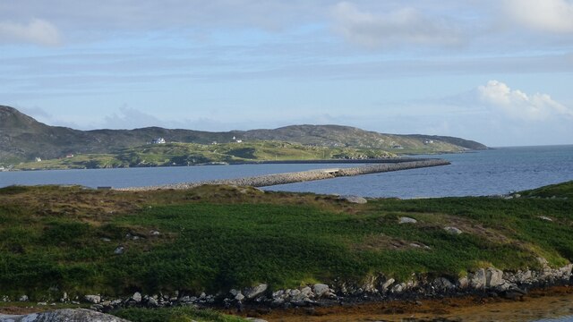
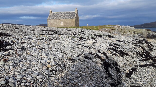
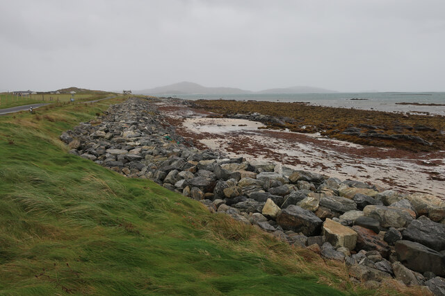
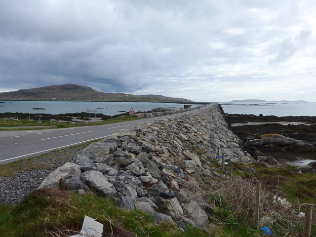
Rubha Ceann a' Ghàrraidh Nodha, located in Inverness-shire, Scotland, is a stunning coastal feature that boasts a breathtaking headland and point. Situated on the northwest coast of Scotland, this prominent natural formation offers a mesmerizing view of the surrounding landscape.

The headland of Rubha Ceann a' Ghàrraidh Nodha stretches out into the North Atlantic Ocean, jutting proudly into the water. Its rocky cliffs, rising majestically from the sea, provide a dramatic backdrop against the backdrop of the sky. The headland is formed by layers of sedimentary rocks, with distinct geological features that have been shaped by the forces of nature over millions of years.

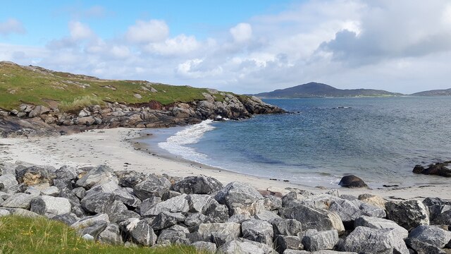
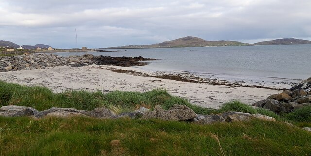
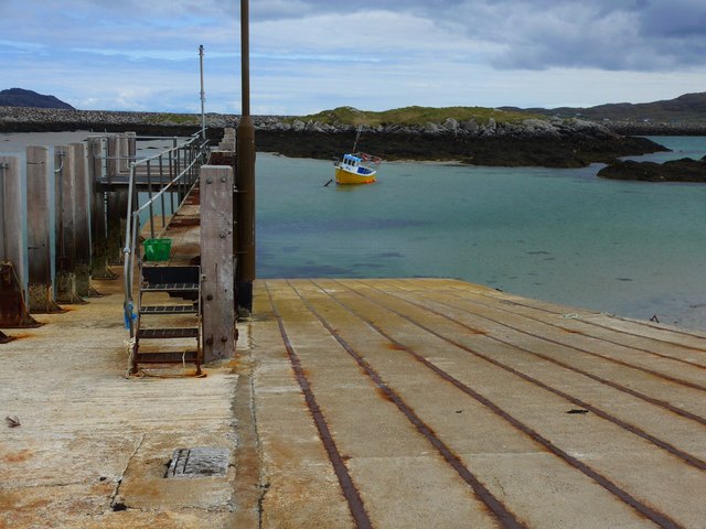
At the tip of the headland, visitors can find the point of Rubha Ceann a' Ghàrraidh Nodha. Here, the rugged coastline gives way to a small, sandy beach, offering a contrasting experience to the rocky cliffs. The beach is a haven for nature enthusiasts, who can enjoy exploring the rock pools and observing the diverse marine life that inhabits the area.

Surrounded by pristine waters, Rubha Ceann a' Ghàrraidh Nodha is an ideal spot for birdwatching. The headland is home to a variety of seabirds, including gulls, guillemots, and puffins, making it a popular destination for bird lovers. The coastal feature also provides stunning views of the nearby islands and the distant Scottish Highlands, showcasing the natural beauty of the region.

Whether it's the dramatic cliffs, the sandy beach, or the diverse birdlife, Rubha Ceann a' Ghàrraidh Nodha is a mesmerizing coastal feature that offers a truly awe-inspiring experience for visitors.

If you have any feedback on the listing, please let us know in the comments section below.

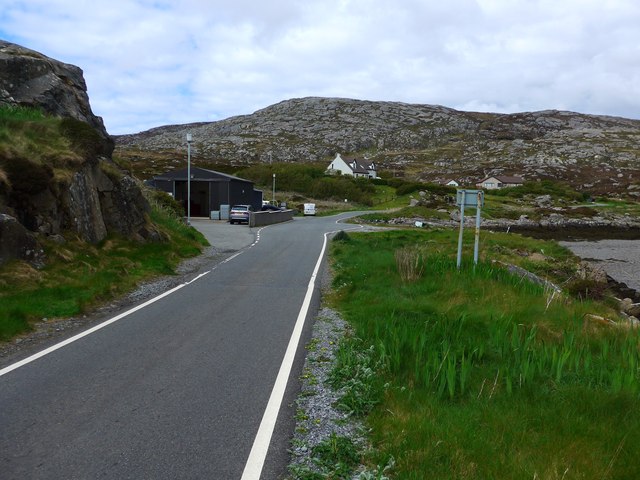
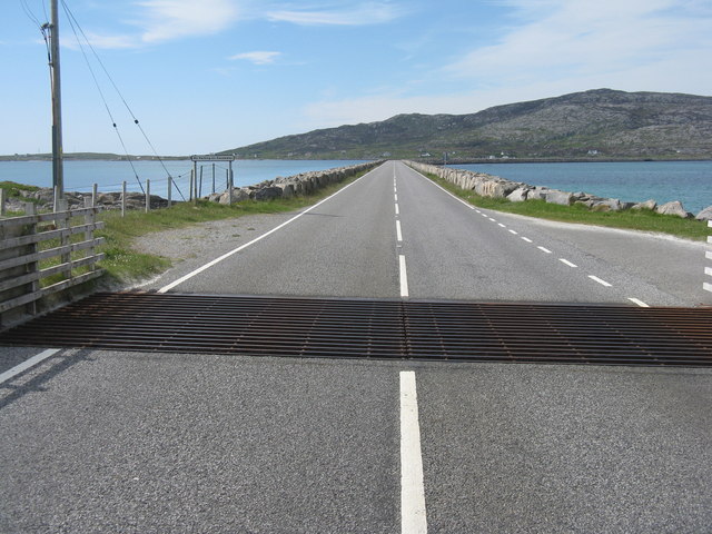
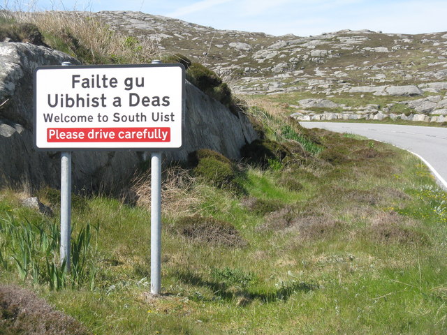
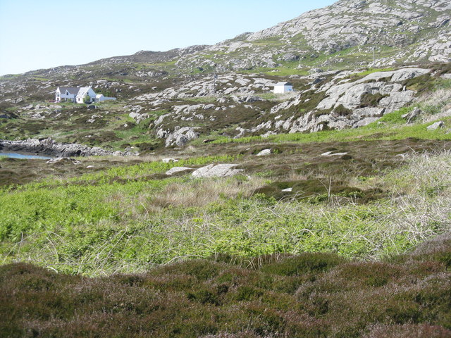
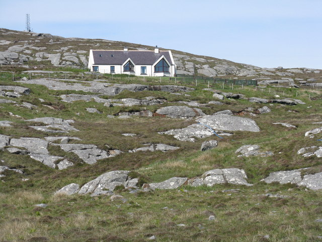
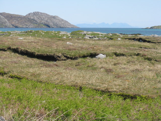
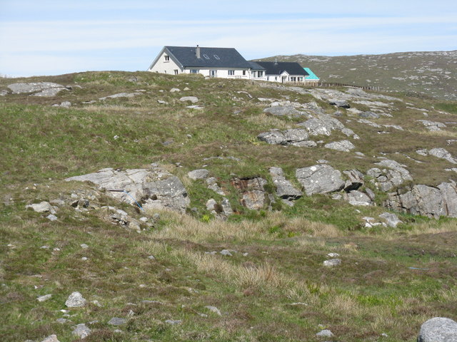
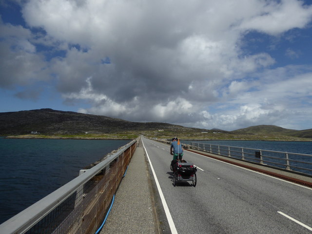
Rubha Ceann a' Ghàrraidh Nodha Images

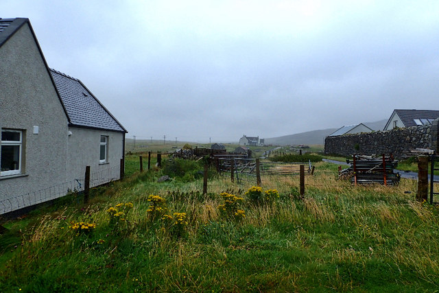
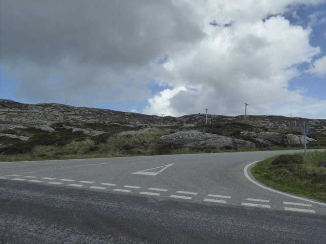
Images are sourced within 2km of 57.102535/-7.3397301 or Grid Reference NF7613. Thanks to Geograph Open Source API. All images are credited.

Causeway between Eriskay and South Uist View from South Uist.
Causeway between Eriskay and South Uist
View from South Uist.
Beach at Cille Bhrìghde
Cottage on the Shoreline
Beach at Cul-Phort
Beach at Cul-Phort
Beach at Cille Bhrìghde At the south end of South Uist.
Beach at Cille Bhrìghde
At the south end of South Uist.
The campsite at West Kilbride A pleasant evening which gave way to a couple of days of high wind and rain.
The campsite at West Kilbride
A pleasant evening which gave way to a couple of days of high wind and rain.
The Eriskay Causeway
The old ferry slip at Eriskay This was where the ferry to South Uist left from in the days before the causeway link.  The causeway was completed in 2001.
The old ferry slip at Eriskay
This was where the ferry to South Uist left from in the days before the causeway link. The causeway was completed in 2001.
The road to the Barra ferry This branches off from just near the old slipway for the ferry to South Uist (now replaced by a causeway).
The road to the Barra ferry
This branches off from just near the old slipway for the ferry to South Uist (now replaced by a causeway).
Cattle grid before the causeway The causeway was officially opened in 2002 <a href="https://www.geograph.org.uk/photo/5000566">NF7812 : Eriskay causeway opening plaque</a>, and connects Eriskay/Eirisgeidh to South Uist.
Cattle grid before the causeway
The causeway was officially opened in 2002 NF7812 : Eriskay causeway opening plaque, and connects Eriskay/Eirisgeidh to South Uist.
Entering South Uist Welcome to South Uist; leaving the causeway from Eriskay and heading north for South Uist.
Entering South Uist
Welcome to South Uist; leaving the causeway from Eriskay and heading north for South Uist.
Rocky grassland, South Uist Looking north just after leaving the causeway from Eriskay.
Rocky grassland, South Uist
Looking north just after leaving the causeway from Eriskay.
House on South Uist A modern house, nicely placed for a view to the causeway to Eriskay.
House on South Uist
A modern house, nicely placed for a view to the causeway to Eriskay.
Rubha na Mòine The view looking east from the northern end of the Eriskay Causeway, over the Caolas Eirisgeigh.
Rubha na Mòine
The view looking east from the northern end of the Eriskay Causeway, over the Caolas Eirisgeigh.
House on the road to South Glendale In rocky rough grassland at the southern end of South Uist.
House on the road to South Glendale
In rocky rough grassland at the southern end of South Uist.
Eriskay Causeway
Eriskay Causeway
Cille Bhrìghde
Cille Bhrìghde
Junction for South Glendale
Show me another place!

Rubha Ceann a' Ghàrraidh Nodha is located at Grid Ref: NF7613 (Lat: 57.102535, Lng: -7.3397301)

Unitary Authority: Na h-Eileanan an Iar

Police Authority: Highlands and Islands

What 3 Words

///lovely.shredder.blacken. Near Lochboisdale, Na h-Eileanan Siar

Related Wikis

Easaval

Easaval (Scottish Gaelic: Easabhal) is one of the smallest hills on the island of South Uist in the Outer Hebrides of Scotland, with a height of 243 metres...

St Michael's Church, Eriskay

St Michael's Church (also known as St Michael's of the Sea) is a Category C listed building in Eriskay, South Uist, Scotland. Of Roman Catholic denomination...

Lingay, Fiaray

Lingay is an uninhabited island in Scotland, one of ten islands in the Sound of Barra, a Site of Community Importance for conservation in the Western Isles...

Beinn Sciathan

Ben Scrien, is the highest point on the Outer Hebridean island of Eriskay. Described as an apparently "uninspiring lump" (Michael Fitzpatrick, 2012) it...

Nearby Amenities

Located within 500m of 57.102535,-7.3397301
Passing Place
Lat/Long: 57.1036493/-7.346295
Passing Place
Lat/Long: 57.103292/-7.3317648
Passing Place
Lat/Long: 57.1033801/-7.3332478
Passing Place
Lat/Long: 57.102985/-7.3380818
Post Box
Brand: Royal Mail
Brand Wikidata: Q638098
Collection Times: Mo-Fr 11:30; Sa 07:00
Old Ref: U61
Operator: Royal Mail
Operator Wikidata: Q638098
Post Box Mounting: pole
Post Box Type: lamp
Ref: HS8 61
Royal Cypher: scottish_crown
Lat/Long: 57.1029542/-7.3379809
Taobh a' Chaolais
Name En: East Kilbride
Name Gd: Taobh a' Chaolais
Place: village
Lat/Long: 57.1031676/-7.337687
Passing Place
Lat/Long: 57.1029581/-7.3414208
Turning Circle
Lat/Long: 57.1026995/-7.3413955
Passing Place
Lat/Long: 57.1029315/-7.3400014
Power: pole
Lat/Long: 57.1043345/-7.3322395
Power: pole
Lat/Long: 57.1042689/-7.3335323
Power: pole
Lat/Long: 57.1042085/-7.3346401
Power: pole
Lat/Long: 57.1042668/-7.3353401
Power: pole
Lat/Long: 57.1043228/-7.335957
Power: pole
Lat/Long: 57.1044001/-7.3367308
Power: pole
Lat/Long: 57.1044525/-7.3373812
Power: pole
Lat/Long: 57.1044743/-7.3387143
Power: pole
Lat/Long: 57.1045107/-7.3398113
Power: pole
Lat/Long: 57.1045953/-7.3406401
Power: pole
Lat/Long: 57.1047191/-7.341713
Power: pole
Lat/Long: 57.1048538/-7.3428784
Power: pole
Lat/Long: 57.104993/-7.3440921
Power: pole
Lat/Long: 57.105127/-7.3453984
Power: pole
Lat/Long: 57.1046651/-7.3362668
Power: pole
Lat/Long: 57.1047147/-7.3371291
Power: pole
Lat/Long: 57.1047817/-7.3382677
Power: pole
Lat/Long: 57.104848/-7.3393795
Power: pole
Lat/Long: 57.104942/-7.3407032
Power: pole
Lat/Long: 57.1050031/-7.3418136
Power: pole
Lat/Long: 57.1050818/-7.3429482
Power: pole
Lat/Long: 57.1051699/-7.3445468
Power: pole
Lat/Long: 57.1053855/-7.3454024
Passing Place
Lat/Long: 57.103397/-7.3345583
Passing Place
Lat/Long: 57.1031983/-7.3358547
Power: pole
Lat/Long: 57.1042482/-7.3339123
Power: pole
Lat/Long: 57.1035519/-7.333512
Power: pole
Lat/Long: 57.1038232/-7.346232
Power: pole
Lat/Long: 57.1037387/-7.3471279
Power: pole
Lat/Long: 57.1037635/-7.3453764
Power: pole
Lat/Long: 57.1037052/-7.3445717
Power: pole
Lat/Long: 57.1036003/-7.3436839
Power: pole
Lat/Long: 57.1041175/-7.3438287
Power: pole
Lat/Long: 57.104553/-7.3439494
Power: pole
Lat/Long: 57.1032408/-7.3407174
Power: pole
Lat/Long: 57.1032408/-7.3399516
Power: pole
Lat/Long: 57.1032882/-7.3399006
Power: pole
Lat/Long: 57.1032387/-7.3391429
Power: pole
Lat/Long: 57.1036968/-7.3398631
Power: pole
Lat/Long: 57.1041244/-7.3398336
Power: pole
Lat/Long: 57.1032453/-7.3385446
Power: pole
Lat/Long: 57.1032446/-7.33799
Power: pole
Lat/Long: 57.1032825/-7.3364576
Power: pole
Lat/Long: 57.1034973/-7.3343444
Power: pole
Lat/Long: 57.1039824/-7.3361147
Power: pole
Lat/Long: 57.1036073/-7.3326493
Power: pole
Lat/Long: 57.1036364/-7.3319613
Power: pole
Lat/Long: 57.1034514/-7.3350405
Power: pole
Lat/Long: 57.1042778/-7.3462676
Passing Place
Lat/Long: 57.1033707/-7.3441488
The data included in this document is from www.openstreetmap.org. The data is made available under ODbL.

Have you been to Rubha Ceann a' Ghàrraidh Nodha?

Leave your review of Rubha Ceann a' Ghàrraidh Nodha below (or comments, questions and feedback).