Claggan
Settlement in Argyllshire
Scotland
Claggan

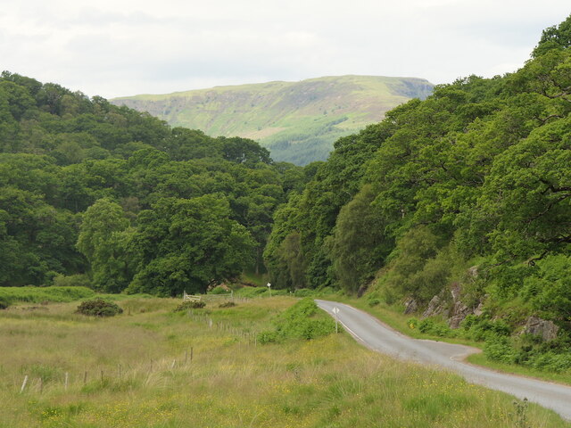
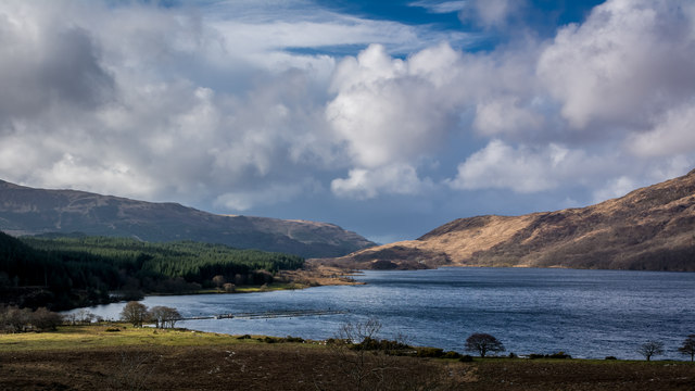
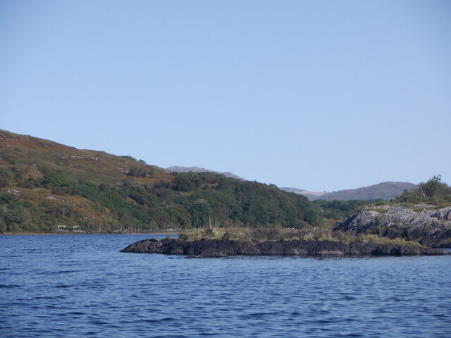
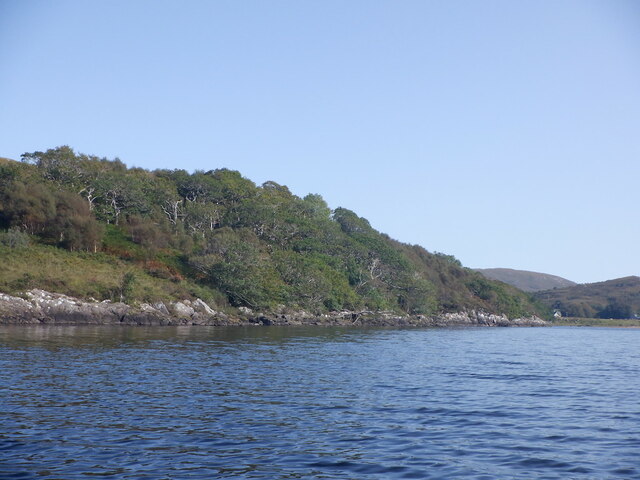
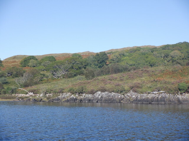
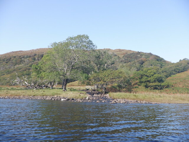
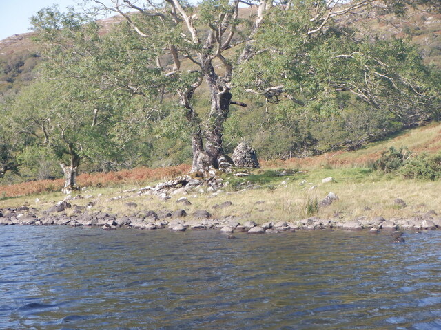
Claggan is a small village located in Argyllshire, Scotland. Situated in the picturesque region of the Scottish Highlands, it is known for its stunning natural beauty and tranquil atmosphere. The village is nestled among verdant rolling hills, with breathtaking views of nearby Loch Fyne and the surrounding countryside.
With a population of around 200 residents, Claggan retains its charm as a close-knit community. The village is predominantly residential, with attractive stone houses and cottages dotting the landscape. Its quaint streets are lined with colorful gardens and flowerbeds, adding to the village's idyllic ambiance.
Claggan offers a range of amenities to its residents and visitors alike. The village boasts a local shop that provides essential goods and services. Additionally, there is a community hall that serves as a gathering place for various events and activities, fostering a strong sense of community spirit.
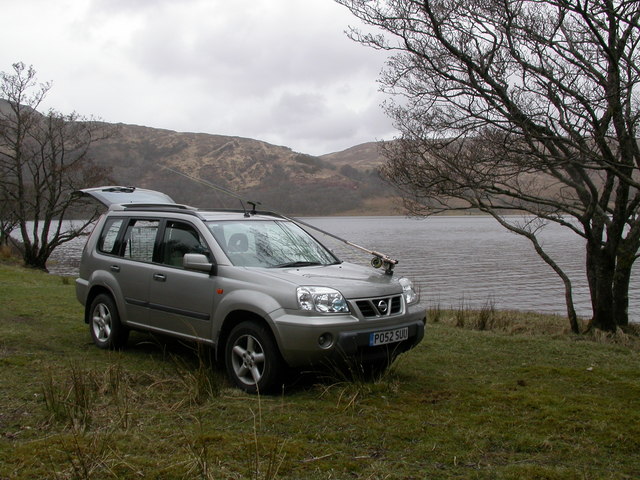
Nature enthusiasts will find plenty to explore in Claggan. The surrounding countryside offers ample opportunities for hiking, cycling, and wildlife spotting. Loch Fyne, located just a short distance away, is a popular spot for fishing and boating enthusiasts.
Despite its small size, Claggan is centrally located within Argyllshire. It is within easy reach of larger towns such as Inveraray and Dunoon, where residents can find a wider range of amenities, including shops, restaurants, and healthcare facilities.
In summary, Claggan is a charming village in Argyllshire, Scotland, offering a peaceful and picturesque setting amidst the stunning Scottish Highlands. With its close-knit community and beautiful natural surroundings, it is an ideal place for those seeking a tranquil and rural lifestyle.
If you have any feedback on the listing, please let us know in the comments section below.
Claggan Images
Images are sourced within 2km of 56.582408/-5.7492933 or Grid Reference NM6949. Thanks to Geograph Open Source API. All images are credited.


Claggan is located at Grid Ref: NM6949 (Lat: 56.582408, Lng: -5.7492933)
Unitary Authority: Highland
Police Authority: Highlands and Islands
What 3 Words
///hulk.airfields.speech. Near Lochaline, Highland
Related Wikis
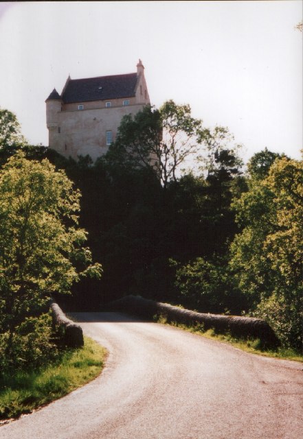
Kinlochaline Castle
Kinlochaline Castle is a 15th-century Scottish tower house on the Ardtornish estate in Morvern in the Highland council area. It is also known as Caisteal...

Morvern
Morvern (Scottish Gaelic: A' Mhorbhairne [ə ˈvɔɾɔ.əɾɲə]; "the sea-gap"), historically also spelt Morven, is a peninsula and traditional district in the...

Loch Aline
Loch Aline (Scottish Gaelic: Loch Àlainn) is a small salt water loch home to fish, birds and game, located in Morvern, Lochaber, Scotland. Key features...

Ardtornish
Ardtornish (Scottish Gaelic: Àird Tòirinis) is a Highland estate in Scotland located in Morvern, Lochaber. Ardtornish House is famous for its gardens...
Nearby Amenities
Located within 500m of 56.582408,-5.7492933Have you been to Claggan?
Leave your review of Claggan below (or comments, questions and feedback).