Church Side
Settlement in Northumberland
England
Church Side
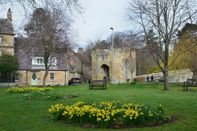
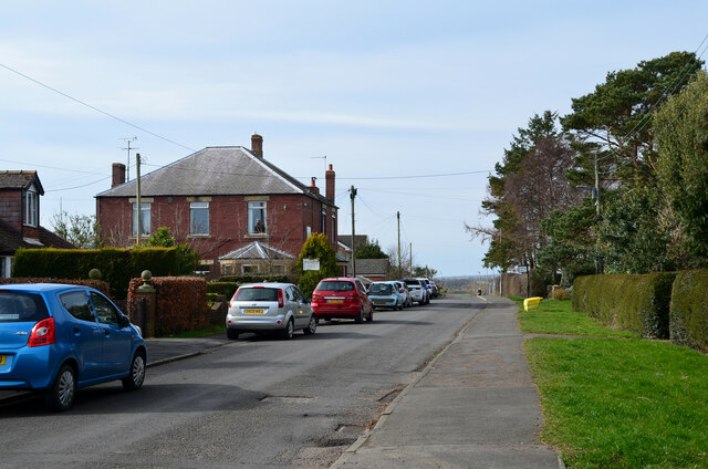
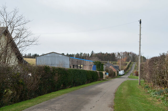
Church Side is a small village located in the county of Northumberland, England. Situated near the border with Scotland, it is nestled within the picturesque Northumberland National Park. The village is known for its quaint and charming atmosphere, with traditional stone cottages lining its narrow streets.
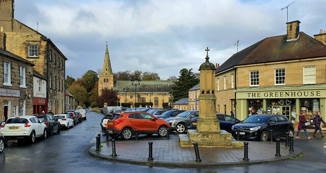
The heart of Church Side is its beautiful 13th-century church, St. Mary's Church, which stands prominently in the center of the village. This historic place of worship serves as a focal point for the community and is an architectural gem, featuring stunning stained glass windows and intricate stonework.
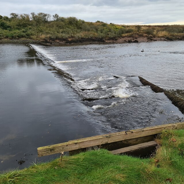
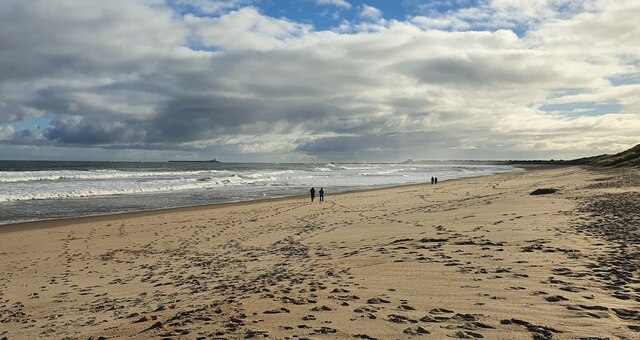
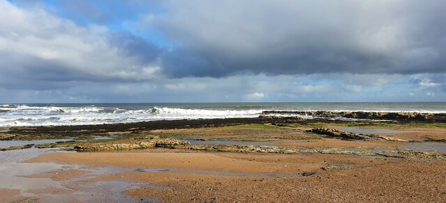
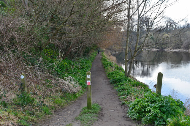
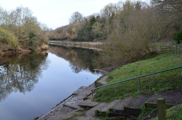
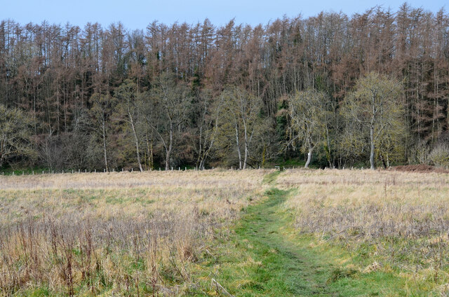
Surrounded by rolling hills and lush green countryside, Church Side offers breathtaking views and ample opportunities for outdoor activities. Hiking and walking trails wind through the nearby national park, allowing visitors to explore the stunning natural beauty of the area. The village is also a popular destination for birdwatchers, as it is home to a variety of bird species, including the elusive red grouse.
Although Church Side is a small village, it is well-served by nearby towns and villages, providing essential amenities such as shops, schools, and healthcare facilities. Its close proximity to the Scottish border also offers residents and visitors the chance to explore the rich heritage and cultural attractions of both England and Scotland.
Overall, Church Side is a peaceful and idyllic village, offering a tranquil retreat for those seeking a rural escape in the heart of Northumberland's stunning countryside.
If you have any feedback on the listing, please let us know in the comments section below.
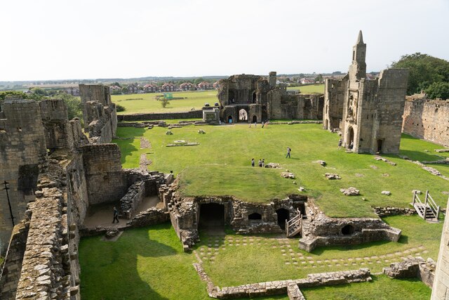
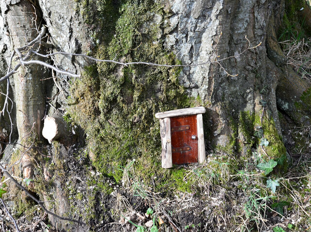
Church Side Images
Images are sourced within 2km of 55.350412/-1.6143953 or Grid Reference NU2406. Thanks to Geograph Open Source API. All images are credited.

Church Side is located at Grid Ref: NU2406 (Lat: 55.350412, Lng: -1.6143953)
Unitary Authority: Northumberland
Police Authority: Northumbria
What 3 Words
///reefs.choppers.disband. Near Warkworth, Northumberland
Nearby Locations
Related Wikis
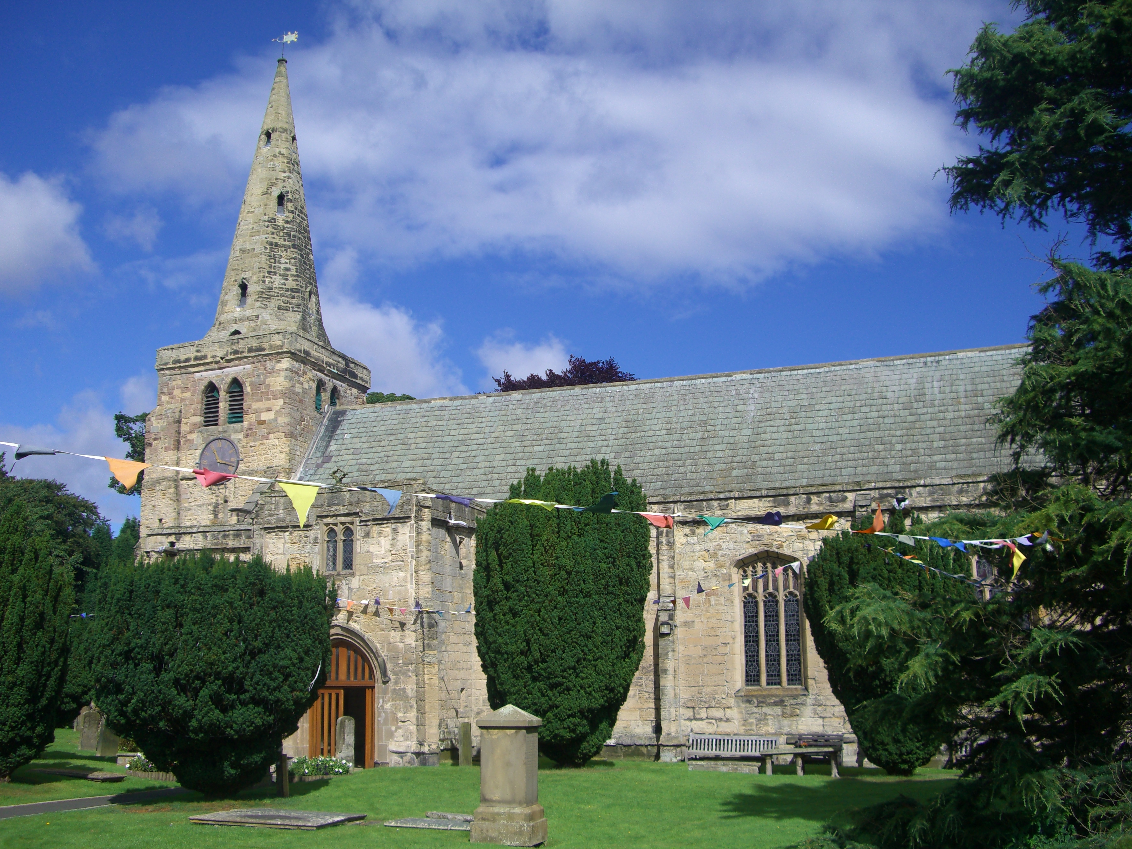
Church of St Lawrence, Warkworth
The Church of St Lawrence is situated in the village of Warkworth in Northumberland. It is a grade I listed building within the Diocese of Newcastle and...

Birling, Northumberland
Birling is a small settlement and former civil parish, now in the parish of Warkworth, in the county of Northumberland, England. It is situated immediately...
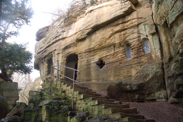
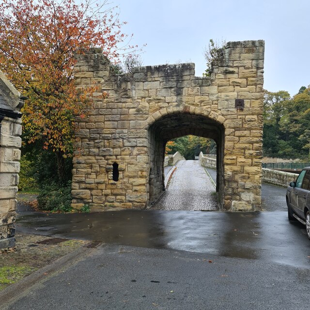
Warkworth Hermitage
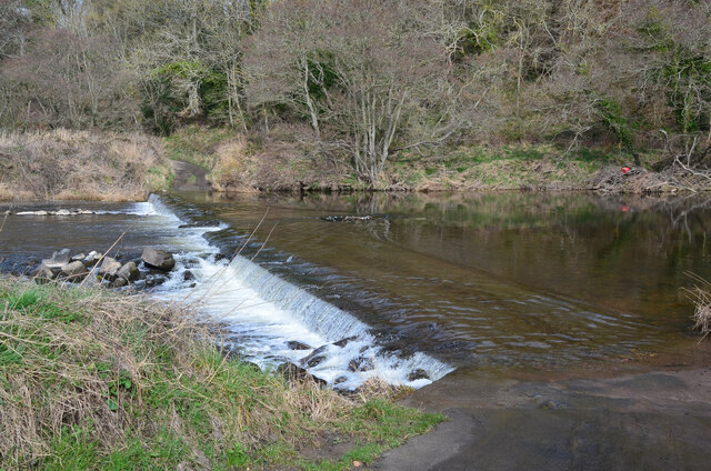
Warkworth Hermitage is a chapel and priest's house built onto and within a cliff-face on the north bank of the River Coquet in Northumberland, England...

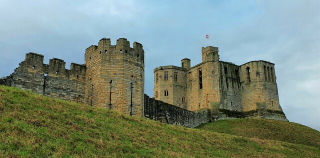
Warkworth, Northumberland
Warkworth is a village in Northumberland, England. It is probably best known for its well-preserved medieval castle, church and hermitage. The population...
Nearby Amenities
Located within 500m of 55.350412,-1.6143953Have you been to Church Side?
Leave your review of Church Side below (or comments, questions and feedback).