Church Row

Settlement in Somerset Mendip

England

Church Row

The Red Lion at Woolverton
The Red Lion at Woolverton Credit: Anthony Parkes

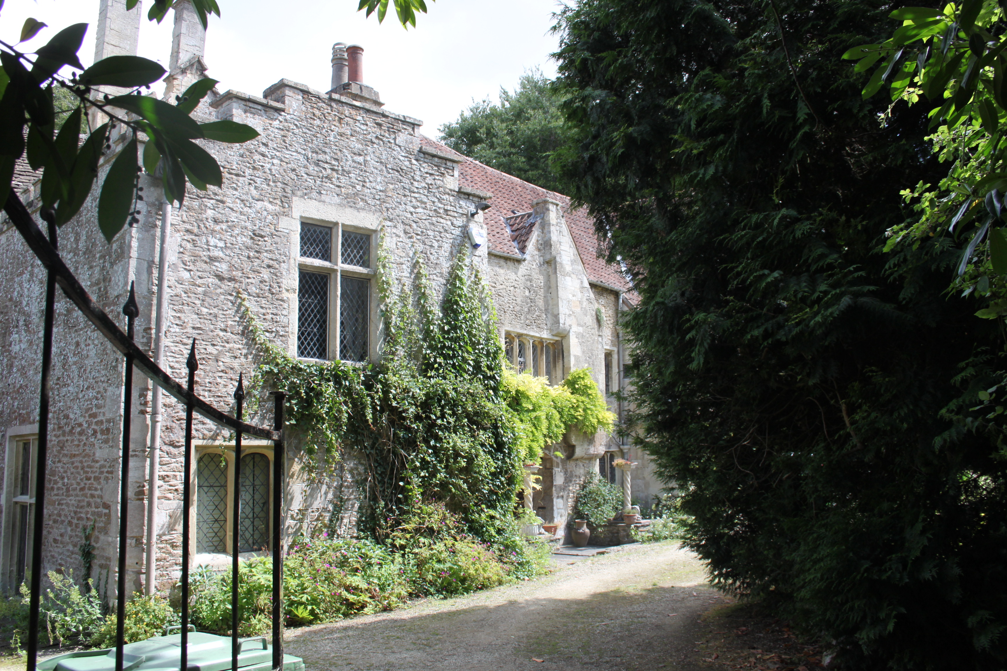
Church Row is a charming village located in the county of Somerset, England. Situated in the tranquil countryside, this idyllic settlement is renowned for its picturesque setting and rich historical heritage. The village is nestled amidst rolling green hills and is surrounded by lush meadows, creating a serene atmosphere that attracts visitors from near and far.

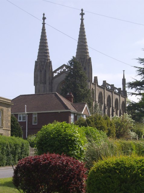
Church Row takes its name from the beautiful row of historic churches that line its main street. These churches, dating back several centuries, showcase a variety of architectural styles, ranging from Norman to Gothic. Each church boasts intricate detailing and stunning stained glass windows, making them a sight to behold for history and architecture enthusiasts.

In addition to its architectural marvels, Church Row also offers a range of amenities for residents and tourists alike. The village is home to a quaint tea room serving traditional English afternoon tea, as well as a local pub where visitors can sample authentic Somerset cider. The surrounding countryside provides ample opportunities for outdoor activities such as hiking, cycling, and horseback riding.

Church Row is not only a popular destination for leisure travelers but also attracts history buffs due to its close proximity to several notable landmarks. The famous Glastonbury Abbey, renowned for its connections to Arthurian legend, is just a short drive away. Additionally, the ancient city of Bath, with its Roman baths and stunning Georgian architecture, is within easy reach.

Overall, Church Row offers a delightful blend of natural beauty, historical significance, and rural charm. Whether it be exploring the ancient churches, enjoying the tranquility of the countryside, or immersing oneself in the rich history of the surrounding area, Church Row provides a unique and unforgettable experience for all who visit.

If you have any feedback on the listing, please let us know in the comments section below.
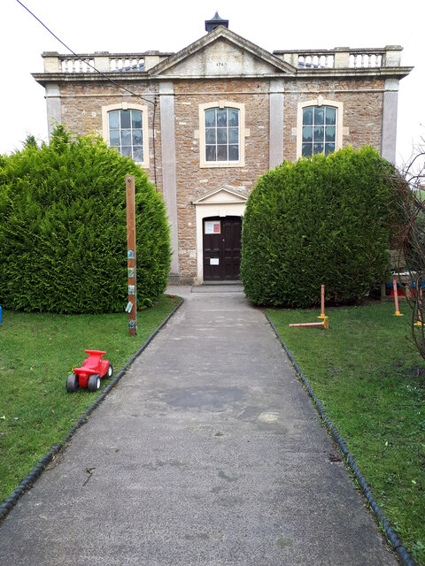
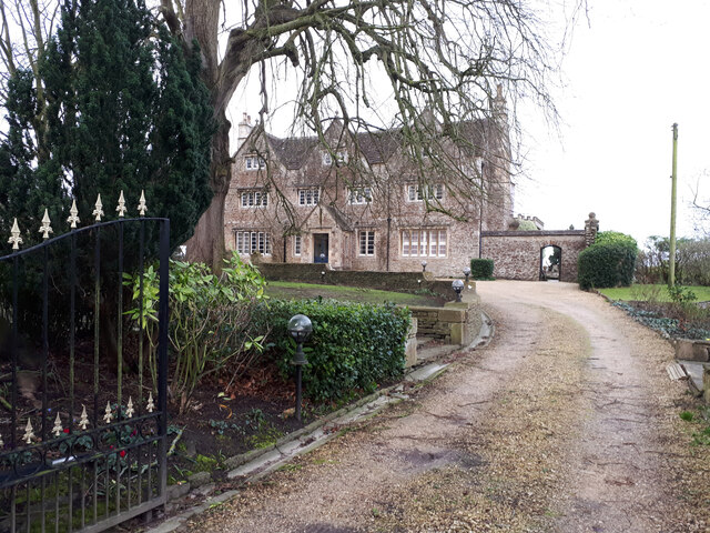
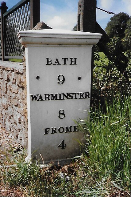
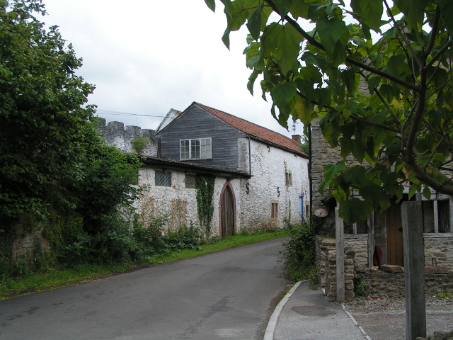
Church Row Images

Images are sourced within 2km of 51.279272/-2.2765258 or Grid Reference ST8053. Thanks to Geograph Open Source API. All images are credited.

The Red Lion at Woolverton
Row of houses, Bath Road, Beckington
Beckington Baptist Chapel Grade II listed former Baptist Chapel, now a day nursery. <span class="nowrap"><a title="https://britishlistedbuildings.co.uk/101296104-baptist-chapel-forecourt-wall-gate-piers-and-gates-beckington#.Yhp0djjP2Uk" rel="nofollow ugc noopener" href="https://britishlistedbuildings.co.uk/101296104-baptist-chapel-forecourt-wall-gate-piers-and-gates-beckington#.Yhp0djjP2Uk">Link</a><img style="margin-left:2px;" alt="External link" title="External link - shift click to open in new window" src="https://s1.geograph.org.uk/img/external.png" width="10" height="10"/></span>
Beckington Baptist Chapel
Grade II listed former Baptist Chapel, now a day nursery. LinkExternal link
Beckington House Grade II listed former 17th century manor house, restored mid-19th century. <span class="nowrap"><a title="https://britishlistedbuildings.co.uk/101345321-beckington-manor-attached-garden-wall-gate-and-piers-beckington#.Yhp2DTjP2Uk" rel="nofollow ugc noopener" href="https://britishlistedbuildings.co.uk/101345321-beckington-manor-attached-garden-wall-gate-and-piers-beckington#.Yhp2DTjP2Uk">Link</a><img style="margin-left:2px;" alt="External link" title="External link - shift click to open in new window" src="https://s1.geograph.org.uk/img/external.png" width="10" height="10"/></span>
Beckington House
Grade II listed former 17th century manor house, restored mid-19th century. LinkExternal link
Old Milestone, A36, Woolverton The milestone is located in Woolverton village, south of the Red Lion, at the end of the low stone wall at the farmhouse, on the grass verge, on the west side of the road. Parish of Tellisford (Mendip district). Cast iron post, C&M Classical iron casting design, erected by the Black Dog turnpike trust in the 19th century. See also <a title="https://www.geograph.org.uk/photo/5789494" href="https://www.geograph.org.uk/photo/5789494">Link</a>

Inscription reads:-
BATH / 9 / MILES / WARMINSTER / 8 / FROME / 4 

Grade II Listed,  List entry number: 1058876 <span class="nowrap"><a title="https://historicengland.org.uk/listing/the-list/list-entry/1058876" rel="nofollow ugc noopener" href="https://historicengland.org.uk/listing/the-list/list-entry/1058876">Link</a><img style="margin-left:2px;" alt="External link" title="External link - shift click to open in new window" src="https://s1.geograph.org.uk/img/external.png" width="10" height="10"/></span>

Milestone Society National ID: SO_BAWM09
Old Milestone, A36, Woolverton
The milestone is located in Woolverton village, south of the Red Lion, at the end of the low stone wall at the farmhouse, on the grass verge, on the west side of the road. Parish of Tellisford (Mendip district). Cast iron post, C&M Classical iron casting design, erected by the Black Dog turnpike trust in the 19th century. See also Link Inscription reads:- BATH / 9 / MILES / WARMINSTER / 8 / FROME / 4 Grade II Listed, List entry number: 1058876 LinkExternal link Milestone Society National ID: SO_BAWM09
Old Milestone, Forrmer A36, Bath Road, North of Beckington The milestone is located near Clifford Farm, on the rough bank, on the east side of the road. Parish of Beckington (Mendip District). Cast iron post, C&M Classical iron casting design, erected by the Black Dog turnpike trust in the 19th century.

Inscription reads:-
BATH /10 / WARMINSTER 7 / FROME / 3

Grade II listed, List Entry Number: 1345295  <span class="nowrap"><a title="https://historicengland.org.uk/listing/the-list/list-entry/1345295" rel="nofollow ugc noopener" href="https://historicengland.org.uk/listing/the-list/list-entry/1345295">Link</a><img style="margin-left:2px;" alt="External link" title="External link - shift click to open in new window" src="https://s1.geograph.org.uk/img/external.png" width="10" height="10"/></span>

Milestone Society National ID: SO_BAWM10
Old Milestone, Forrmer A36, Bath Road, North of Beckington
The milestone is located near Clifford Farm, on the rough bank, on the east side of the road. Parish of Beckington (Mendip District). Cast iron post, C&M Classical iron casting design, erected by the Black Dog turnpike trust in the 19th century. Inscription reads:- BATH /10 / WARMINSTER 7 / FROME / 3 Grade II listed, List Entry Number: 1345295 LinkExternal link Milestone Society National ID: SO_BAWM10
Castellated wall in Woolverton
Lane and footpath sign
Sign for Rode Manor Nurseries
Looking west across the Frome River valley, north of Beckington
West Terrace A row of Grade II listed houses <span class="nowrap"><a title="https://historicengland.org.uk/listing/the-list/list-entry/1058873" rel="nofollow ugc noopener" href="https://historicengland.org.uk/listing/the-list/list-entry/1058873">Link</a><img style="margin-left:2px;" alt="External link" title="External link - shift click to open in new window" src="https://s1.geograph.org.uk/img/external.png" width="10" height="10"/></span>  & <span class="nowrap"><a title="https://historicengland.org.uk/listing/the-list/list-entry/1307981" rel="nofollow ugc noopener" href="https://historicengland.org.uk/listing/the-list/list-entry/1307981">Link</a><img style="margin-left:2px;" alt="External link" title="External link - shift click to open in new window" src="https://s1.geograph.org.uk/img/external.png" width="10" height="10"/></span>  and K6 telephone kiosk <span class="nowrap"><a title="https://historicengland.org.uk/listing/the-list/list-entry/1393245" rel="nofollow ugc noopener" href="https://historicengland.org.uk/listing/the-list/list-entry/1393245">Link</a><img style="margin-left:2px;" alt="External link" title="External link - shift click to open in new window" src="https://s1.geograph.org.uk/img/external.png" width="10" height="10"/></span>
West Terrace
A row of Grade II listed houses LinkExternal link & LinkExternal link and K6 telephone kiosk LinkExternal link
Woolverton: red telephone box A traditional phone box whose paintwork is peeling markedly.
Woolverton: red telephone box
A traditional phone box whose paintwork is peeling markedly.
Road Junction on the A36  north of Beckington Here is where the B class road takes you onward  to Midford on Avon
Road Junction on the A36 north of Beckington
Here is where the B class road takes you onward to Midford on Avon
Old Boundary Marker on Lower Street, Rode County Boundary Marker set in the road on Lower Street against the western corner of The Corner House, 21 High Street, a stone building at the junction of Lower Street and High Street. Until 1937 this was on the boundary of Rode, Somerset and Southwick, Wiltshire but is now entirely in Rode parish.

Milestone Society National ID: SO_RODE02cb
Old Boundary Marker on Lower Street, Rode
County Boundary Marker set in the road on Lower Street against the western corner of The Corner House, 21 High Street, a stone building at the junction of Lower Street and High Street. Until 1937 this was on the boundary of Rode, Somerset and Southwick, Wiltshire but is now entirely in Rode parish. Milestone Society National ID: SO_RODE02cb
Entering Rode
Entering Rode
Entrance to The Mill at Rode
Looking towards Beckington Roundabout Great Dunns Close is on the right, the playing field on the left.
Looking towards Beckington Roundabout
Great Dunns Close is on the right, the playing field on the left.
Gazebo, Bath Road Grade II* listed 18th century gazebo. <span class="nowrap"><a title="https://britishlistedbuildings.co.uk/101345296-gazebo-20-metres-to-north-of-no-13-bath-road-beckington#.YhpvLDjP2Uk" rel="nofollow ugc noopener" href="https://britishlistedbuildings.co.uk/101345296-gazebo-20-metres-to-north-of-no-13-bath-road-beckington#.YhpvLDjP2Uk">Link</a><img style="margin-left:2px;" alt="External link" title="External link - shift click to open in new window" src="https://s1.geograph.org.uk/img/external.png" width="10" height="10"/></span>
Gazebo, Bath Road
Grade II* listed 18th century gazebo. LinkExternal link
Show me another place!

Church Row is located at Grid Ref: ST8053 (Lat: 51.279272, Lng: -2.2765258)

Administrative County: Somerset

District: Mendip

Police Authority: Avon and Somerset

What 3 Words

///grafted.waggled.scorpions. Near Rode, Somerset

Related Wikis

Rode, Somerset

Rode (formerly Road) is a village and civil parish in the ceremonial county of Somerset in England, 5 miles (8.0 km) north-east of Frome and 5 miles (8...

Christ Church, Rode

The Anglican Church of St Peter in Rode, within the English county of Somerset, dates from 1824. It is a redundant church and a Grade II* listed building...

Seymours Court Farmhouse, Beckington

Seymours Court Farmhouse in Beckington, Somerset, England, dates from the 15th century and is a Grade I listed building.It was the home of Thomas Seymour...

Beckington

Beckington is a village and civil parish in Somerset, England, across the River Frome from Lullington about three miles north of Frome. According to the...

The Abbey, Beckington

The Abbey, Beckington in Beckington, Somerset, England is a historic building that was founded as a monastic grange and also used as a college for priests...

The Wool Hall

The Wool Hall is a recording studio in the village of Beckington, near Frome, Somerset, England. It was originally a residential studio set up by Tears...

Beckington Castle

Beckington Castle is a historic house in the village of Beckington, Somerset, England. It is a Grade II* listed building.It was built in the early 17th...

Rudge, Somerset

Rudge is a hamlet in the civil parish of Beckington in the Mendip district of Somerset, England. Its nearest town is Frome. == Location == The hamlet is...

Nearby Amenities

Located within 500m of 51.279272,-2.2765258
Man Made: windpump
Source: NPE
Lat/Long: 51.2780755/-2.2773453
Pub
The Bell
Wikidata: Q26628996
Lat/Long: 51.2806288/-2.2756505
Noexit: yes
Lat/Long: 51.2804698/-2.2768999
Noexit: yes
Lat/Long: 51.2797477/-2.2767848
Noexit: yes
Lat/Long: 51.2795442/-2.2773054
Noexit: yes
Lat/Long: 51.2803495/-2.2769168
Noexit: yes
Lat/Long: 51.280808/-2.2774142
Bus Stop
Church Lane
Bus: yes
Naptan AtcoCode: 3600SOB21744
Naptan Bearing: SE
Naptan CommonName: Church Lane
Naptan Indicator: SE-bound
Naptan NaptanCode: sotdmdja
Naptan Street: Church Lane
Naptan Verified: no
Public Transport: platform
Lat/Long: 51.2817506/-2.2761314
Bus Stop
Bell Inn
Bus: yes
Naptan AtcoCode: 3600SOB21743
Naptan Bearing: N
Naptan CommonName: Bell Inn
Naptan Indicator: N-bound
Naptan NaptanCode: sotdmdjd
Naptan Street: A361
Naptan Verified: no
Public Transport: platform
Lat/Long: 51.2807946/-2.2753207
The data included in this document is from www.openstreetmap.org. The data is made available under ODbL.

Have you been to Church Row?

Leave your review of Church Row below (or comments, questions and feedback).