Church Field

Settlement in Cambridgeshire Fenland

England

Church Field

Hanson's Kings Dyke brickworks, Whittlesey: aerial 2021
Hanson's Kings Dyke brickworks, Whittlesey: aerial 2021 Credit: Simon Tomson

Church Field is a picturesque village located in Cambridgeshire, England. Situated approximately 10 miles west of the city of Cambridge, it is nestled in the heart of the beautiful Cambridgeshire countryside. The village is renowned for its idyllic setting and charming rural atmosphere.

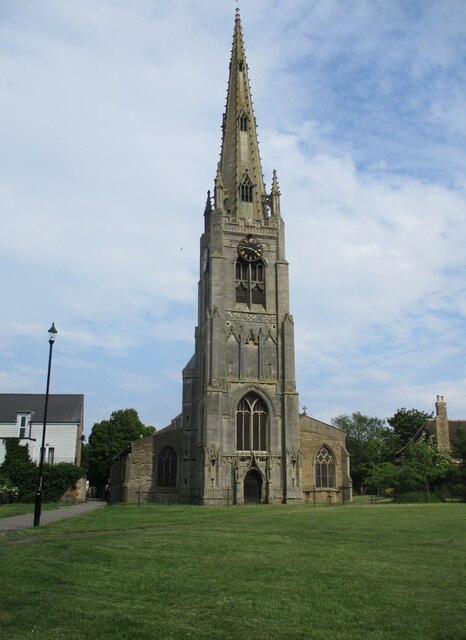
The focal point of Church Field is undoubtedly the historic village church, which dates back to the 12th century. This stunning architectural masterpiece is a prime example of medieval craftsmanship, with intricate stone carvings and a majestic spire that can be seen for miles around.

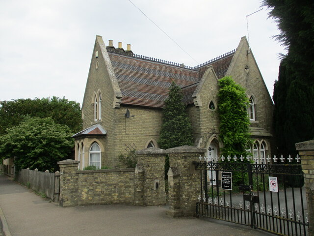
The village itself is relatively small, with a population of around 500 residents. It exudes a strong sense of community, and the locals take great pride in maintaining the village's traditional charm. The streets are lined with quaint cottages, many of which have been lovingly restored to their original splendor.

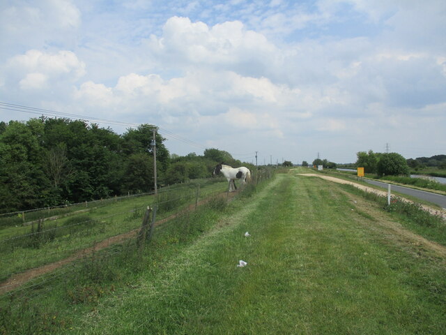
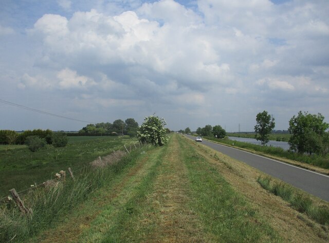
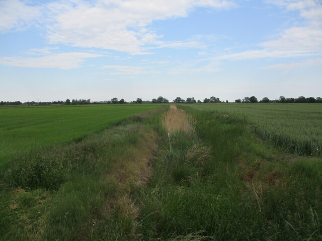
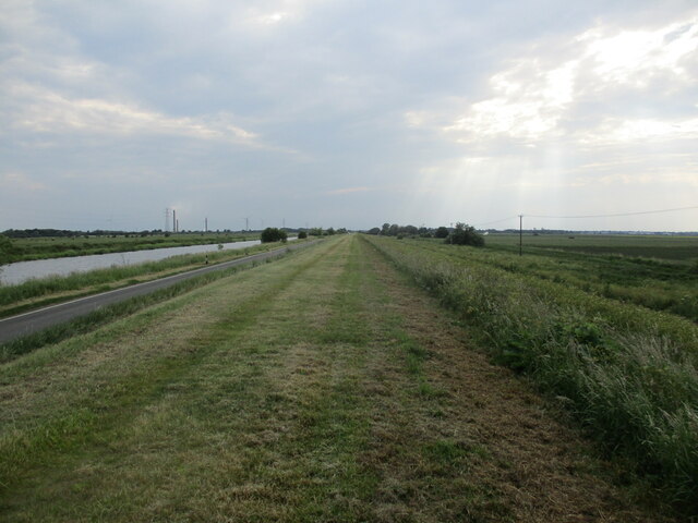
Church Field is surrounded by rolling green fields and meandering streams, making it an ideal destination for nature lovers and outdoor enthusiasts. There are several walking and cycling trails that allow visitors to explore the stunning countryside at their own pace.

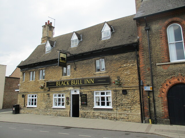
The village also boasts a well-regarded primary school, providing education for the local children. Additionally, there is a small convenience store and a traditional pub, offering a warm welcome to both residents and visitors alike.

Overall, Church Field is a hidden gem in the Cambridgeshire landscape. Its rich history, natural beauty, and strong sense of community make it a truly special place to visit or call home.

If you have any feedback on the listing, please let us know in the comments section below.
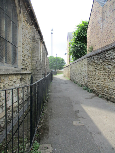
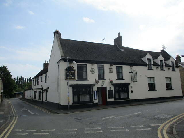
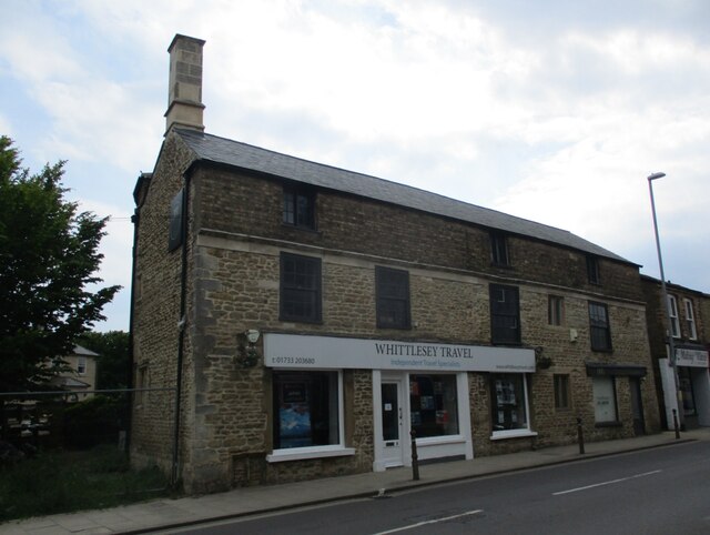
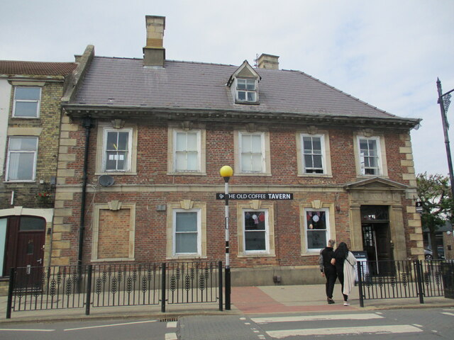
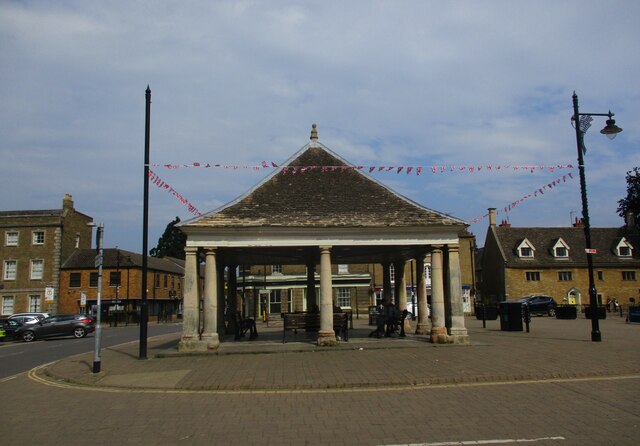
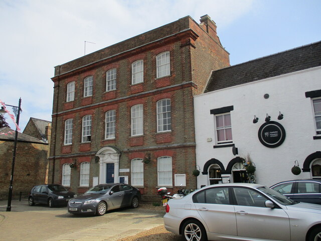
Church Field Images

Images are sourced within 2km of 52.560793/-0.1520873 or Grid Reference TL2597. Thanks to Geograph Open Source API. All images are credited.

Hanson's Kings Dyke brickworks, Whittlesey: aerial 2021
Flood bank near Northey Lodge The River Nene to the right.
Flood bank near Northey Lodge
The River Nene to the right.
The River Nene near Roslyn Farm The three remaining chimney stacks of the Whittlesey brickworks conspicuous in the distance.
The River Nene near Roslyn Farm
The three remaining chimney stacks of the Whittlesey brickworks conspicuous in the distance.
Flood bank near Roslyn Farm The River Nene on the right.
Flood bank near Roslyn Farm
The River Nene on the right.
Cemetery Lodge, Whittlesey Built 1859 <span class="nowrap"><a title="https://historicengland.org.uk/listing/the-list/list-entry/1227875?section=official-list-entry" rel="nofollow ugc noopener" href="https://historicengland.org.uk/listing/the-list/list-entry/1227875?section=official-list-entry">Link</a><img style="margin-left:2px;" alt="External link" title="External link - shift click to open in new window" src="https://s1.geograph.org.uk/img/external.png" width="10" height="10"/></span> Designed by Robert Hutchinson.
Cemetery Lodge, Whittlesey
Built 1859 LinkExternal link Designed by Robert Hutchinson.
The Black Bull Inn. Whittlesey Seventeenth century inn <span class="nowrap"><a title="https://historicengland.org.uk/listing/the-list/list-entry/1228224?section=official-list-entry" rel="nofollow ugc noopener" href="https://historicengland.org.uk/listing/the-list/list-entry/1228224?section=official-list-entry">Link</a><img style="margin-left:2px;" alt="External link" title="External link - shift click to open in new window" src="https://s1.geograph.org.uk/img/external.png" width="10" height="10"/></span>
The Black Bull Inn. Whittlesey
Seventeenth century inn LinkExternal link
Path alongside St. Mary's church, Whittlesey
The Falcon Hotel, Whittlesey Eighteenth century hotel ://historicengland.org.uk/listing/the-list/list-entry/1228085?section=official-list-entry
The Falcon Hotel, Whittlesey
Eighteenth century hotel ://historicengland.org.uk/listing/the-list/list-entry/1228085?section=official-list-entry
Drain off Blackbush Drove
Flood bank near Dog-in-a-Doublet The River Nene on the left.
Flood bank near Dog-in-a-Doublet
The River Nene on the left.
King's Delph Drain
King's Delph Drain
Farm track off Beales' Drove
Barley field near Drakes Farm
9 Market Street, Whittlesey Seventeenth century house much altered and extended <span class="nowrap"><a title="https://historicengland.org.uk/listing/the-list/list-entry/1228220?section=official-list-entry" rel="nofollow ugc noopener" href="https://historicengland.org.uk/listing/the-list/list-entry/1228220?section=official-list-entry">Link</a><img style="margin-left:2px;" alt="External link" title="External link - shift click to open in new window" src="https://s1.geograph.org.uk/img/external.png" width="10" height="10"/></span>
9 Market Street, Whittlesey
Seventeenth century house much altered and extended LinkExternal link
The Old Coffee Tavern A seventeenth century house, later a bank and now a bar <span class="nowrap"><a title="https://historicengland.org.uk/listing/the-list/list-entry/1228222?section=official-list-entry" rel="nofollow ugc noopener" href="https://historicengland.org.uk/listing/the-list/list-entry/1228222?section=official-list-entry">Link</a><img style="margin-left:2px;" alt="External link" title="External link - shift click to open in new window" src="https://s1.geograph.org.uk/img/external.png" width="10" height="10"/></span>
The Old Coffee Tavern
A seventeenth century house, later a bank and now a bar LinkExternal link
The Buttercross (Market Cross), Whittlesey Dates from the seventeenth century <span class="nowrap"><a title="https://historicengland.org.uk/listing/the-list/list-entry/1287355?section=official-list-entry" rel="nofollow ugc noopener" href="https://historicengland.org.uk/listing/the-list/list-entry/1287355?section=official-list-entry">Link</a><img style="margin-left:2px;" alt="External link" title="External link - shift click to open in new window" src="https://s1.geograph.org.uk/img/external.png" width="10" height="10"/></span>
The Buttercross (Market Cross), Whittlesey
Dates from the seventeenth century LinkExternal link
10 Market Place, Whittlesey Eighteenth century house at one time the Post Office <span class="nowrap"><a title="https://historicengland.org.uk/listing/the-list/list-entry/1228131?section=official-list-entry" rel="nofollow ugc noopener" href="https://historicengland.org.uk/listing/the-list/list-entry/1228131?section=official-list-entry">Link</a><img style="margin-left:2px;" alt="External link" title="External link - shift click to open in new window" src="https://s1.geograph.org.uk/img/external.png" width="10" height="10"/></span>
10 Market Place, Whittlesey
Eighteenth century house at one time the Post Office LinkExternal link
St. Mary's church, Whittlesey The fifteenth century tower and spire rank among England's finest <span class="nowrap"><a title="https://historicengland.org.uk/listing/the-list/list-entry/1228792?section=official-list-entry" rel="nofollow ugc noopener" href="https://historicengland.org.uk/listing/the-list/list-entry/1228792?section=official-list-entry">Link</a><img style="margin-left:2px;" alt="External link" title="External link - shift click to open in new window" src="https://s1.geograph.org.uk/img/external.png" width="10" height="10"/></span>
St. Mary's church, Whittlesey
The fifteenth century tower and spire rank among England's finest LinkExternal link
Show me another place!

Church Field is located at Grid Ref: TL2597 (Lat: 52.560793, Lng: -0.1520873)

Division: Isle of Ely

Administrative County: Cambridgeshire

District: Fenland

Police Authority: Cambridgeshire

What 3 Words

///kitchens.lengthen.grownup. Near Whittlesey, Cambridgeshire

Related Wikis

Whittlesey Rural District

Whittlesey was a rural district in the Isle of Ely from 1894 to 1926. It was created by the Local Government Act 1894 based on the Whittlesey rural sanitary...

Whittlesey

Whittlesey (also Whittlesea) is a market town and civil parish in the Fenland district of Cambridgeshire, England. Whittlesey is 6 miles (10 km) east of...

Whittlesey Museum

The Whittlesey Museum is a local history museum in Market Street, Whittlesey, Cambridgeshire, England. It is based on the ground floor of Whittlesey Town...

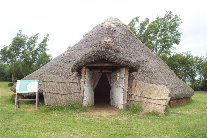
Must Farm Bronze Age settlement

Part of a Bronze Age settlement was uncovered at Must Farm quarry, at Whittlesey, near Peterborough, in Cambridgeshire, England. The site has been described...

Sir Harry Smith Community College

Sir Harry Smith Community College is a secondary school in Whittlesey, Cambridgeshire. Opened in 1953 on the former site of the Whittlesey Workhouse, the...

Whittlesea railway station

Whittlesea railway station is on the Ely–Peterborough line in the East of England and serves the market town of Whittlesey, Cambridgeshire. Whittlesea...

Lattersey Field

Lattersey Field is an 11.9 hectare Local Nature Reserve in Whittlesey in Cambridgeshire. It is owned by Fenland District Council and managed by the Wildlife...

Flag Fen

Flag Fen, east of Peterborough, England, is a Bronze Age site which was constructed about 3500 years ago and consists of more than 60,000 timbers arranged...

Nearby Amenities

Located within 500m of 52.560793,-0.1520873
Bus Stop
Crossway Hand
Bus: yes
Naptan AtcoCode: 0500FWHIY016
Naptan Bearing: E
Naptan CommonName: Crossway Hand
Naptan Indicator: near
Naptan Landmark: Crossway Hand
Naptan NaptanCode: cmbdmdmw
Naptan ShortCommonName: Crossway Hand
Naptan Street: Peterborough Road
Naptan Verified: no
Public Transport: platform
Source: naptan_import
Lat/Long: 52.5611271/-0.145263
Bus Stop
Nurseries
Bus: yes
Naptan AtcoCode: 0500FWHIY021
Naptan Bearing: SW
Naptan CommonName: Nurseries
Naptan Indicator: opp
Naptan Landmark: Nurseries
Naptan NaptanCode: cmbdmdpm
Naptan ShortCommonName: Nurseries
Naptan Street: Peterborough Road
Naptan Verified: no
Public Transport: platform
Source: naptan_import
Lat/Long: 52.5595779/-0.1560243
Bus Stop
Crossway Hand
Bus: yes
Naptan AtcoCode: 0500FWHIY034
Naptan Bearing: W
Naptan CommonName: Crossway Hand
Naptan Indicator: opp
Naptan Landmark: Crossway Hand
Naptan NaptanCode: cmbdmdwj
Naptan ShortCommonName: Crossway Hand
Naptan Street: Peterborough Road
Naptan Verified: no
Public Transport: platform
Source: naptan_import
Lat/Long: 52.5610824/-0.145855
Post Box
Lat/Long: 52.5602289/-0.1527314
Aster Cars
Shop: car
Lat/Long: 52.5601474/-0.1535692
The data included in this document is from www.openstreetmap.org. The data is made available under ODbL.

Have you been to Church Field?

Leave your review of Church Field below (or comments, questions and feedback).