Chatterley

Settlement in Gloucestershire Cotswold

England

Chatterley

Stone Stile, Withington A "private" gap/step stile to the disused railway embankment, in the curtain wall of the bridge abutment looking North. The view South is <a href="https://www.geograph.org.uk/photo/7293988">SP0315 : Stone Stile, Withington</a>. Alongside Gloucestershire footpath KWG23.
Stone Stile, Withington Credit: Jayne Tovey

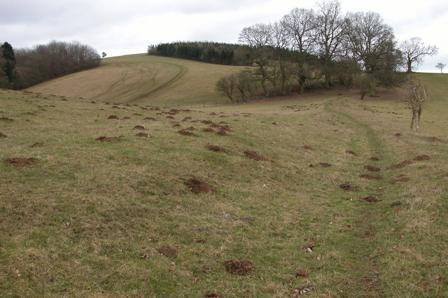
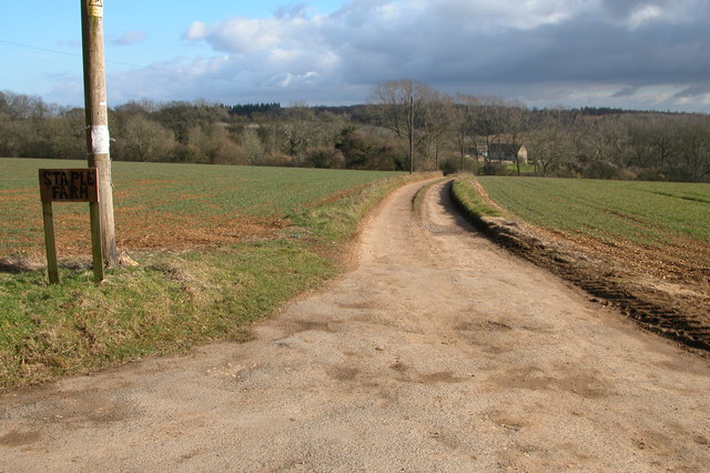
Chatterley is a small village located in the county of Gloucestershire, England. Situated in the picturesque Cotswolds region, it is surrounded by rolling hills and scenic countryside. The village is located approximately 10 miles south of the market town of Cirencester and is easily accessible via the A419 road.

Chatterley has a rich history, dating back to the medieval period. It was mentioned in the Domesday Book of 1086, highlighting its significance as a settlement even in ancient times. The village has managed to retain much of its traditional charm, with many historic buildings and landmarks still standing.

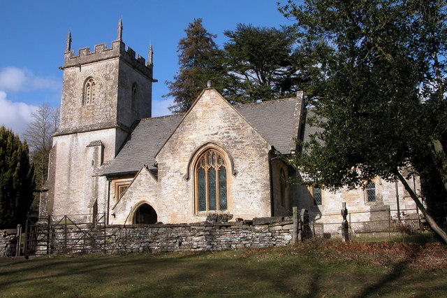
The heart of Chatterley is its village square, which is flanked by quaint cottages and a charming parish church. The village has a close-knit community, and residents take pride in maintaining the village's character and heritage. There are also a few local amenities, including a village hall and a small convenience store.

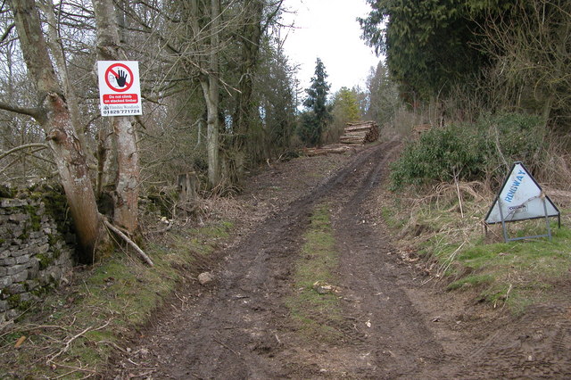
The surrounding countryside offers ample opportunities for outdoor activities, such as hiking, cycling, and horseback riding. Chatterley is also located within close proximity to several notable attractions, including the Cotswold Water Park, which offers water sports and leisure activities, and the Cotswold Wildlife Park, home to a variety of animals.

Overall, Chatterley is a picturesque village that encapsulates the beauty of the Cotswolds region. Its rich history, charming architecture, and idyllic surroundings make it an attractive destination for both residents and visitors seeking a peaceful and scenic retreat.

If you have any feedback on the listing, please let us know in the comments section below.
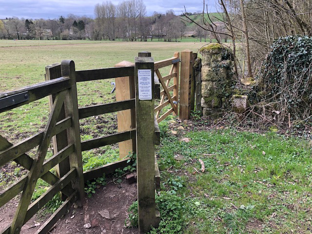
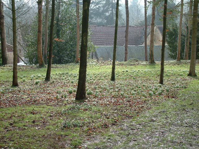
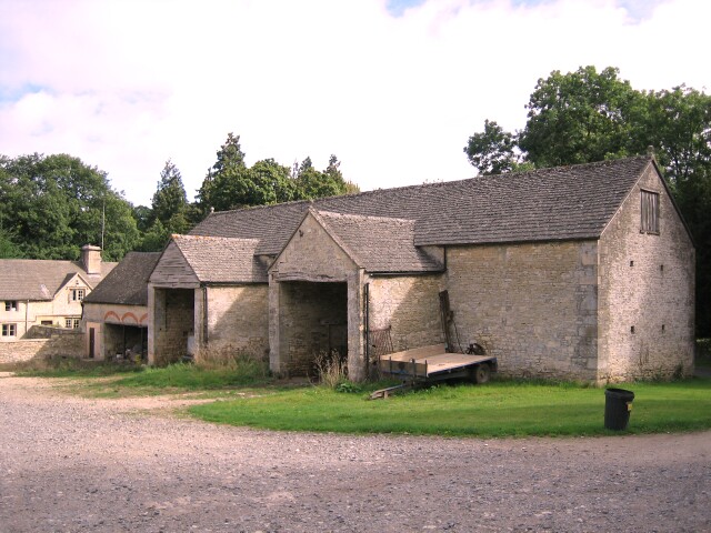
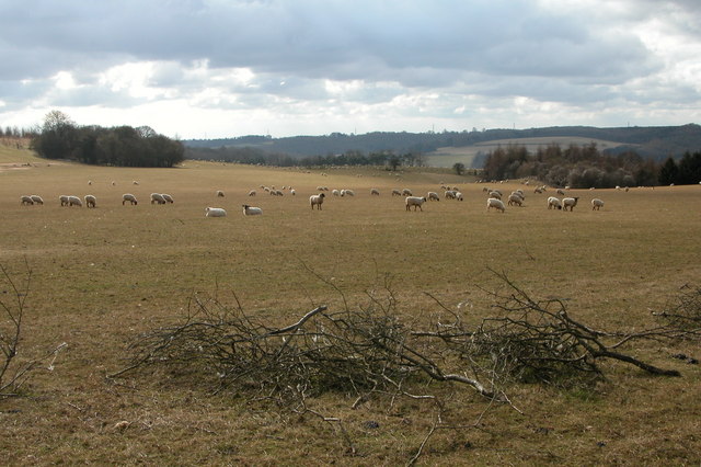
Chatterley Images

Images are sourced within 2km of 51.831362/-1.9795642 or Grid Reference SP0114. Thanks to Geograph Open Source API. All images are credited.

Stone Stile, Withington A "private" gap/step stile to the disused railway embankment, in the curtain wall of the bridge abutment looking North. The view South is <a href="https://www.geograph.org.uk/photo/7293988">SP0315 : Stone Stile, Withington</a>. Alongside Gloucestershire footpath KWG23.
Stone Stile, Withington
A "private" gap/step stile to the disused railway embankment, in the curtain wall of the bridge abutment looking North. The view South is SP0315 : Stone Stile, Withington. Alongside Gloucestershire footpath KWG23.
Stone Stile, Withington A "private" gap/step stile to the disused railway embankment, in the curtain wall of the bridge abutment looking South. The view North is <a href="https://www.geograph.org.uk/photo/7293986">SP0315 : Stone Stile, Withington</a>. Alongside Gloucestershire footpath KWG23.
Stone Stile, Withington
A "private" gap/step stile to the disused railway embankment, in the curtain wall of the bridge abutment looking South. The view North is SP0315 : Stone Stile, Withington. Alongside Gloucestershire footpath KWG23.
Woods east of Colesbourne
Colesbourne Manor Snowdrops in the woods behind Colesbourne Manor
Colesbourne Manor
Snowdrops in the woods behind Colesbourne Manor
Barn at Colesbourne A large barn to the east of the Cheltenham to Cirencester road in the village of Colesbourne
Barn at Colesbourne
A large barn to the east of the Cheltenham to Cirencester road in the village of Colesbourne
Air Raid shelter in Withington Woods Presumably this shelter in Withington Woods was used by people based at the nearby airfield.
Air Raid shelter in Withington Woods
Presumably this shelter in Withington Woods was used by people based at the nearby airfield.
Sheep grazing near Colesbourne Today much of the Cotswolds is arable, here the land is used for the traditional use of sheep grazing. In Medieval times wool was a major export and the churches and manor houses of the Cotswolds reflect the wealth the wool trade created.
Sheep grazing near Colesbourne
Today much of the Cotswolds is arable, here the land is used for the traditional use of sheep grazing. In Medieval times wool was a major export and the churches and manor houses of the Cotswolds reflect the wealth the wool trade created.
Valley between Monkham Wood and Boy's Grove This valley is above Colesbourne. A bridleway can be seen as it crosses through the valley en-route between Colesbourne and Chedworth.
Valley between Monkham Wood and Boy's Grove
This valley is above Colesbourne. A bridleway can be seen as it crosses through the valley en-route between Colesbourne and Chedworth.
Colesbourne church Colesbourne church is dedicated to St James and is located in Colesbourne Park.
Colesbourne church
Colesbourne church is dedicated to St James and is located in Colesbourne Park.
Forestry work at Little Colesbourne Warning at the entrance to Barncombe Bottom of forestry activity in Little Colesbourne.
Forestry work at Little Colesbourne
Warning at the entrance to Barncombe Bottom of forestry activity in Little Colesbourne.
Driveway to Staple Farm, Colesbourne Driveway to Staple Farm Farm, high on the Cotswolds above Colesbourne.
Driveway to Staple Farm, Colesbourne
Driveway to Staple Farm Farm, high on the Cotswolds above Colesbourne.
Withington church Withington church is dedicated St Michael and All Angels.
Withington church
Withington church is dedicated St Michael and All Angels.
Cottage at Hill Barn, Withington
Hedge Laying near Withington This hedge is on the side of the road from Withington to Colesbourne.
Hedge Laying near Withington
This hedge is on the side of the road from Withington to Colesbourne.
Pylon and power lines These power lines are just in the grid square, beyond are Withington Woods. This view is from the road in the next square to the north.
Pylon and power lines
These power lines are just in the grid square, beyond are Withington Woods. This view is from the road in the next square to the north.
Old petrol pumps in winter, Withington These old BP petrol pumps are located on the corner of an old Cotswold cottage (which appears to be empty) in the village of Withington. For summer see: <a href="https://www.geograph.org.uk/photo/244039">SP0315 : Old petrol pumps in summer, Withington</a>
Old petrol pumps in winter, Withington
These old BP petrol pumps are located on the corner of an old Cotswold cottage (which appears to be empty) in the village of Withington. For summer see: SP0315 : Old petrol pumps in summer, Withington
Gallops near Thorndale The gallops follow the hedge up the hill and are situated to the south of the farm at Thorndale. At the time the gallops appear to be recently created.
Gallops near Thorndale
The gallops follow the hedge up the hill and are situated to the south of the farm at Thorndale. At the time the gallops appear to be recently created.
Farmhouse, Upcote Farm A cotswold stone farmhouse with an attractive garden and pool.
Farmhouse, Upcote Farm
A cotswold stone farmhouse with an attractive garden and pool.
Show me another place!

Chatterley is located at Grid Ref: SP0114 (Lat: 51.831362, Lng: -1.9795642)

Administrative County: Gloucestershire

District: Cotswold

Police Authority: Gloucestershire

What 3 Words

///submerge.replied.yards. Near Charlton Kings, Gloucestershire

Related Wikis

Withington, Gloucestershire

Withington is a Cotswold village and civil parish in Gloucestershire, England, about 7 miles (11 km) southeast of Cheltenham and 8 miles (13 km) north...

Church of St Michael, Withington

The Anglican Church of St Michael at Withington in the Cotswold District of Gloucestershire, England was built in the 12th century. It is a grade I listed...

Withington railway station (Gloucestershire)

Withington railway station was on the Midland and South Western Junction Railway serving the village of Withington in Gloucestershire. The station opened...

Colesbourne

Colesbourne is a village and civil parish in the Cotswold district of Gloucestershire, England. The village and parish lies within the Cotswolds, a designated...

RAF Chedworth

Royal Air Force Chedworth or more simply RAF Chedworth is a former Royal Air Force satellite station located near Chedworth, Gloucestershire, England....

Andoversford

Andoversford is a village and civil parish in the Cotswold District of Gloucestershire, England, about 5 miles (8 km) east of Cheltenham. The village is...

Chedworth Nature Reserve

Chedworth Nature Reserve (grid reference SP048143) is a 6-hectare (15-acre) nature reserve in Gloucestershire. The site is listed in the 'Cotswold District...

Cotswold Hills Geopark

A swathe of the Cotswold Hills almost 60 miles long has been proposed as the Cotswold Hills Geopark. The Geopark project offers educational resources on...

Nearby Amenities

Located within 500m of 51.831362,-1.9795642
Power: tower
Lat/Long: 51.8334654/-1.9757727
Power: pole
Source: Bing
Lat/Long: 51.8272628/-1.9810099
Power: pole
Source: Bing
Lat/Long: 51.8308798/-1.9828365
Power: pole
Source: Bing
Lat/Long: 51.8331854/-1.9840033
Power: pole
Source: Bing
Lat/Long: 51.8321677/-1.9834936
Power: pole
Source: Bing
Lat/Long: 51.82993/-1.9823564
Chatterley
Note: Not clear what name from OpenMap applies to
Lat/Long: 51.8313622/-1.9795641
The data included in this document is from www.openstreetmap.org. The data is made available under ODbL.

Have you been to Chatterley?

Leave your review of Chatterley below (or comments, questions and feedback).