Badgerbury Plantation

Wood, Forest in Gloucestershire Cotswold

England

Badgerbury Plantation

Woods east of Colesbourne
Woods east of Colesbourne Credit: Dani

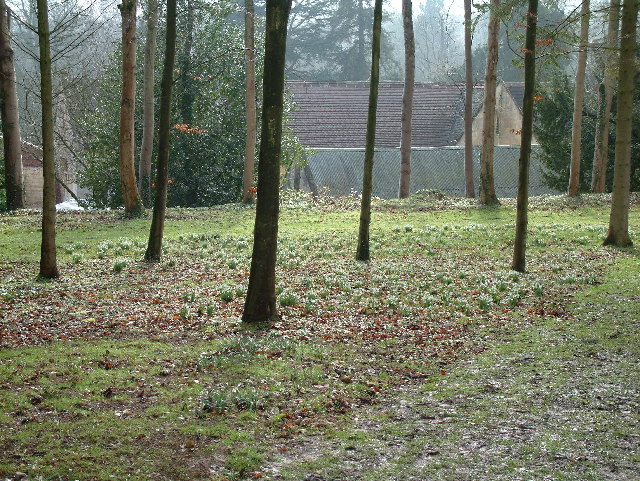
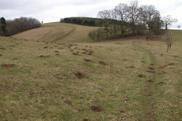
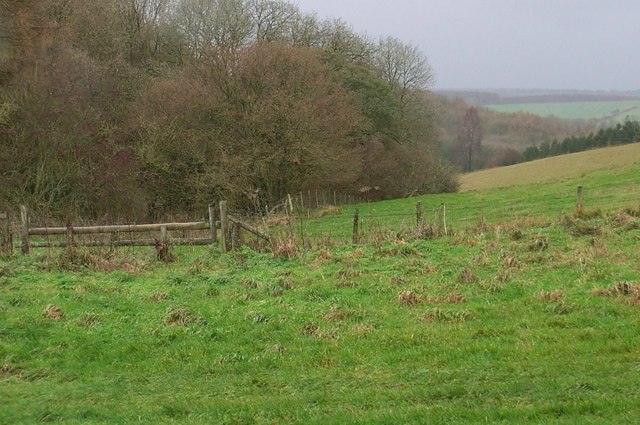
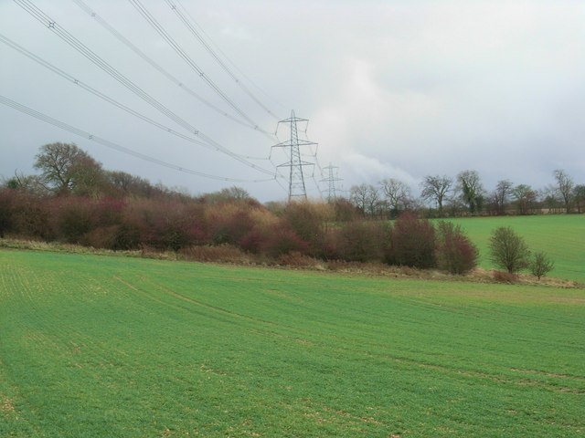
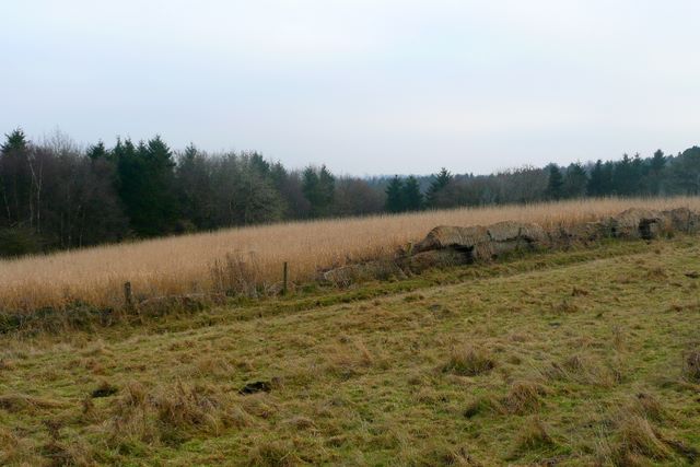
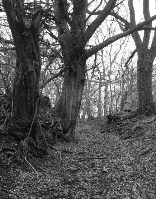
Badgerbury Plantation is a picturesque woodland area located in Gloucestershire, England. Spread over a vast expanse, this enchanting forest is known for its diverse flora and fauna, making it a popular spot for nature enthusiasts and hikers alike.

The plantation is home to a variety of tree species, including oak, beech, and birch, which create a dense canopy, providing a haven for wildlife. The forest floor is carpeted with an array of wildflowers, adding to the beauty and charm of the area.

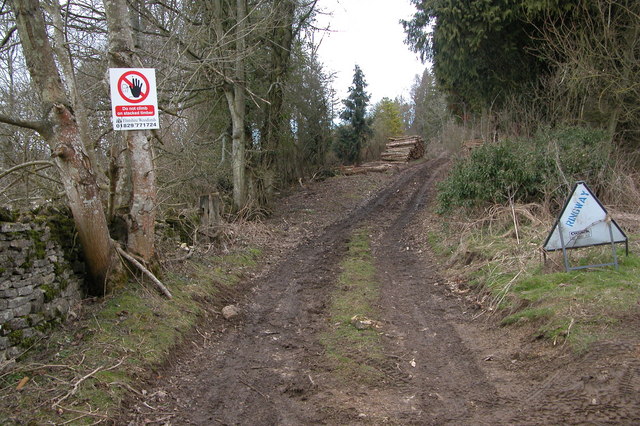
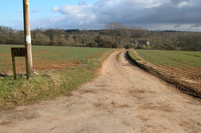
Visitors to Badgerbury Plantation can explore the numerous well-marked trails that meander through the woods. These trails cater to all levels of fitness and offer breathtaking views of the surrounding countryside. The peaceful ambiance of the forest provides the perfect setting for relaxation and contemplation.

The plantation is also renowned for its rich biodiversity. Birdwatchers can spot a wide range of species, such as woodpeckers, owls, and various songbirds. Additionally, small mammals, including badgers, foxes, and rabbits, can be spotted in their natural habitat.

Badgerbury Plantation offers ample opportunities for outdoor activities, such as picnicking, photography, and wildlife observation. The forest management ensures the preservation of the ecosystem, making it a sustainable and well-maintained area.

In conclusion, Badgerbury Plantation in Gloucestershire is a captivating woodland that captivates visitors with its lush vegetation, scenic trails, and abundant wildlife. Whether one seeks solitude in nature or an adventurous walk, this plantation provides an idyllic setting for all nature enthusiasts.

If you have any feedback on the listing, please let us know in the comments section below.

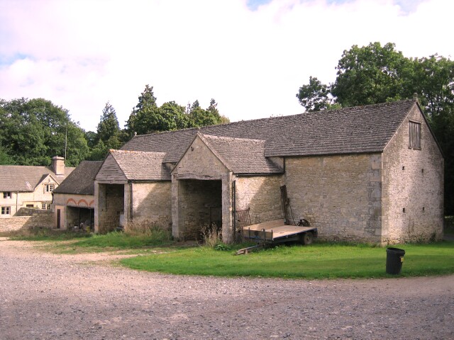
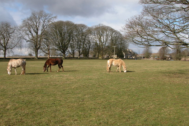
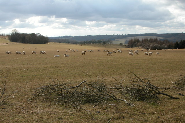
Badgerbury Plantation Images

Images are sourced within 2km of 51.825204/-1.9862994 or Grid Reference SP0114. Thanks to Geograph Open Source API. All images are credited.

Woods east of Colesbourne
Colesbourne Manor Snowdrops in the woods behind Colesbourne Manor
Colesbourne Manor
Snowdrops in the woods behind Colesbourne Manor
Barn at Colesbourne A large barn to the east of the Cheltenham to Cirencester road in the village of Colesbourne
Barn at Colesbourne
A large barn to the east of the Cheltenham to Cirencester road in the village of Colesbourne
Farm Woodlands This farm is high on the Cotswolds to the south of Withington Woods.
Farm Woodlands
This farm is high on the Cotswolds to the south of Withington Woods.
Ridge and Furrow field, near Colesbourne Evidence of medieval farming practices on this field to the south-west of the farm at Woodlands.
Ridge and Furrow field, near Colesbourne
Evidence of medieval farming practices on this field to the south-west of the farm at Woodlands.
Sheep grazing near Colesbourne Today much of the Cotswolds is arable, here the land is used for the traditional use of sheep grazing. In Medieval times wool was a major export and the churches and manor houses of the Cotswolds reflect the wealth the wool trade created.
Sheep grazing near Colesbourne
Today much of the Cotswolds is arable, here the land is used for the traditional use of sheep grazing. In Medieval times wool was a major export and the churches and manor houses of the Cotswolds reflect the wealth the wool trade created.
Valley between Monkham Wood and Boy's Grove This valley is above Colesbourne. A bridleway can be seen as it crosses through the valley en-route between Colesbourne and Chedworth.
Valley between Monkham Wood and Boy's Grove
This valley is above Colesbourne. A bridleway can be seen as it crosses through the valley en-route between Colesbourne and Chedworth.
Colesbourne church Colesbourne church is dedicated to St James and is located in Colesbourne Park.
Colesbourne church
Colesbourne church is dedicated to St James and is located in Colesbourne Park.
Forestry work at Little Colesbourne Warning at the entrance to Barncombe Bottom of forestry activity in Little Colesbourne.
Forestry work at Little Colesbourne
Warning at the entrance to Barncombe Bottom of forestry activity in Little Colesbourne.
Driveway to Staple Farm, Colesbourne Driveway to Staple Farm Farm, high on the Cotswolds above Colesbourne.
Driveway to Staple Farm, Colesbourne
Driveway to Staple Farm Farm, high on the Cotswolds above Colesbourne.
Cottage at Hill Barn, Withington
Hedge Laying near Withington This hedge is on the side of the road from Withington to Colesbourne.
Hedge Laying near Withington
This hedge is on the side of the road from Withington to Colesbourne.
Pylon and power lines These power lines are just in the grid square, beyond are Withington Woods. This view is from the road in the next square to the north.
Pylon and power lines
These power lines are just in the grid square, beyond are Withington Woods. This view is from the road in the next square to the north.
Behind the gate of Bennett Farm, Law Offices. With a flash flood in progress.
Behind the gate of Bennett Farm, Law Offices.
With a flash flood in progress.
Below Taylor's Hill Looking down the valley between Taylor's Hill and Round Hill.
Below Taylor's Hill
Looking down the valley between Taylor's Hill and Round Hill.
Hawthorns and power lines During a brief respite from the rain. The trees are on the position marked on the map as a well.
Hawthorns and power lines
During a brief respite from the rain. The trees are on the position marked on the map as a well.
Standing on the line The Two Degrees West line at this point is rather uninspiring.  Looking towards Penhill Plantation which covers most of the western half of the square.
Standing on the line
The Two Degrees West line at this point is rather uninspiring. Looking towards Penhill Plantation which covers most of the western half of the square.
Old Roman Road Now a bridleway but, once a roman road to Chedworth
Old Roman Road
Now a bridleway but, once a roman road to Chedworth
Show me another place!

Badgerbury Plantation is located at Grid Ref: SP0114 (Lat: 51.825204, Lng: -1.9862994)

Administrative County: Gloucestershire

District: Cotswold

Police Authority: Gloucestershire

What 3 Words

///thrones.query.press. Near Charlton Kings, Gloucestershire

Related Wikis

Colesbourne

Colesbourne is a village and civil parish in the Cotswold district of Gloucestershire, England. The village and parish lies within the Cotswolds, a designated...

Withington, Gloucestershire

Withington is a Cotswold village and civil parish in Gloucestershire, England, about 7 miles (11 km) southeast of Cheltenham and 8 miles (13 km) north...

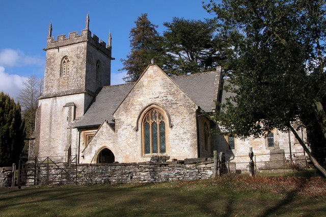
Church of St Michael, Withington

The Anglican Church of St Michael at Withington in the Cotswold District of Gloucestershire, England was built in the 12th century. It is a grade I listed...

Withington railway station (Gloucestershire)

Withington railway station was on the Midland and South Western Junction Railway serving the village of Withington in Gloucestershire. The station opened...

Cotswold Hills Geopark

A swathe of the Cotswold Hills almost 60 miles long has been proposed as the Cotswold Hills Geopark. The Geopark project offers educational resources on...

RAF Chedworth

Royal Air Force Chedworth or more simply RAF Chedworth is a former Royal Air Force satellite station located near Chedworth, Gloucestershire, England....

Cockleford Marsh

Cockleford Marsh (grid reference SO977133) is a 3.2-hectare (7.9-acre) biological Site of Special Scientific Interest in Gloucestershire, notified in 1991...

Chedworth Nature Reserve

Chedworth Nature Reserve (grid reference SP048143) is a 6-hectare (15-acre) nature reserve in Gloucestershire. The site is listed in the 'Cotswold District...

Nearby Amenities

Located within 500m of 51.825204,-1.9862994
Little Colesborne
Is In: Gloucestershire, England, UK
Place: hamlet
Lat/Long: 51.8253933/-1.9906384
Power: pole
Source: Bing
Lat/Long: 51.8209631/-1.9840703
Power: pole
Source: Bing
Lat/Long: 51.8234151/-1.9829545
Power: pole
Source: Bing
Lat/Long: 51.8272628/-1.9810099
Power: pole
Source: Bing
Lat/Long: 51.8257443/-1.981777
Power: pole
Source: Bing
Lat/Long: 51.8217921/-1.9837163
Power: pole
Source: Bing
Lat/Long: 51.8249635/-1.9821633
Power: pole
Source: Bing
Lat/Long: 51.8226177/-1.9833595
Power: pole
Source: Bing
Lat/Long: 51.8265318/-1.9813774
The data included in this document is from www.openstreetmap.org. The data is made available under ODbL.

Have you been to Badgerbury Plantation?

Leave your review of Badgerbury Plantation below (or comments, questions and feedback).