Charlton Mackrell
Settlement in Somerset South Somerset
England
Charlton Mackrell
Charlton Mackrell is a small village located in the Somerset county of England. Situated approximately 12 miles east of the town of Yeovil, Charlton Mackrell is part of the South Somerset district. The village has a population of around 600 residents, making it a close-knit and community-oriented place.
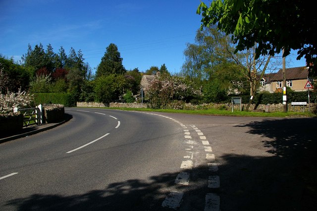
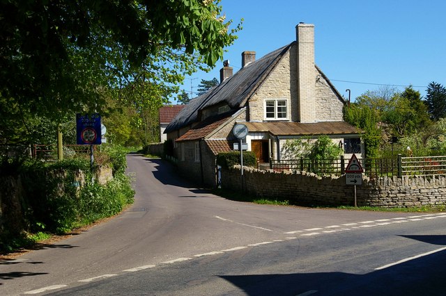
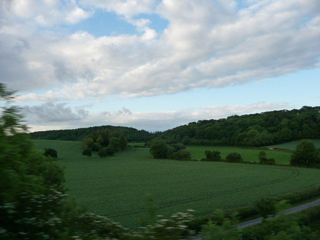
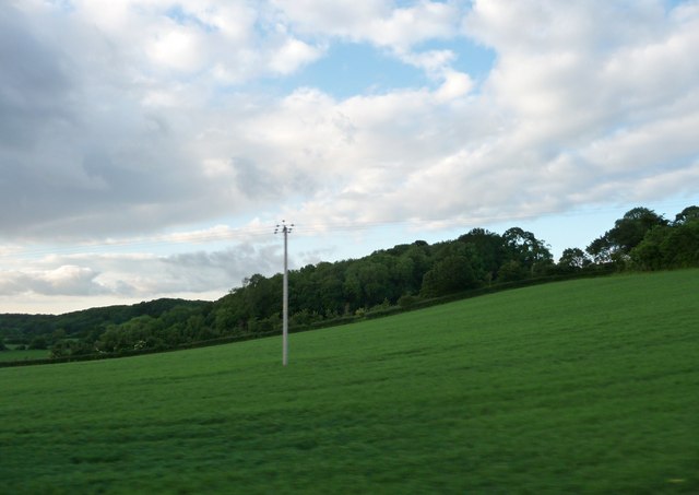
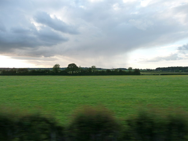
The village is known for its picturesque and rural setting, surrounded by beautiful countryside and farmland. It is characterized by charming thatched cottages, historic buildings, and well-maintained gardens, which contribute to its traditional English village aesthetic.
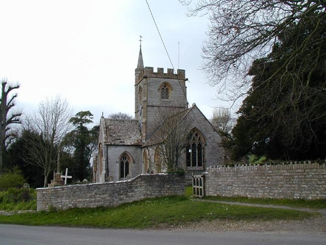
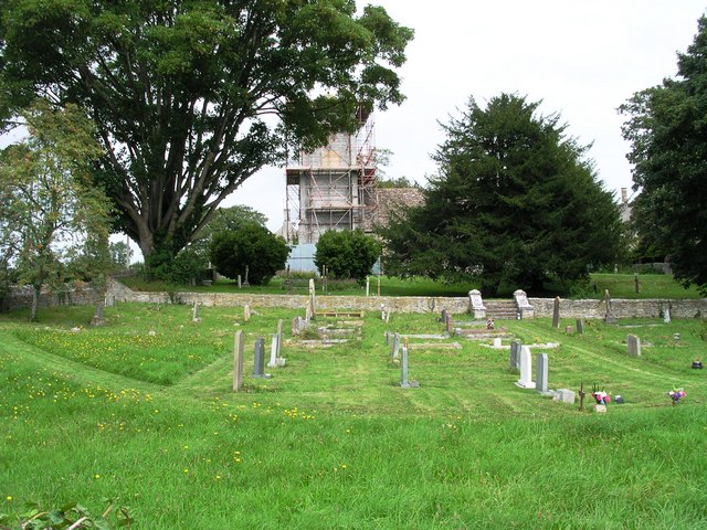
Charlton Mackrell has a rich history, with evidence of settlements dating back to Roman times. The village is home to the Grade II listed St. Mary’s Church, a prominent landmark that reflects the area's architectural heritage. The church dates back to the 14th century and features an impressive tower and stained glass windows.
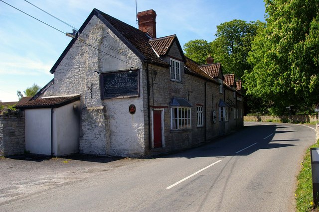
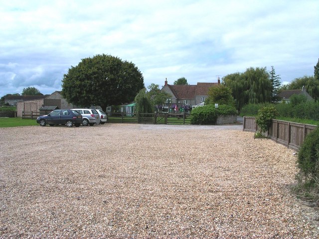
While Charlton Mackrell is primarily a residential area, it benefits from a strong sense of community. The village has a local pub, The Charlton Inn, which serves as a hub for social gatherings and community events. Additionally, residents can access essential amenities and services in nearby towns such as Somerton and Yeovil.
The surrounding countryside offers opportunities for outdoor activities, including walking, cycling, and horse riding. The village also benefits from its proximity to attractions such as the historic Montacute House and the Ham Hill Country Park.
Overall, Charlton Mackrell is a quaint and idyllic village, offering a peaceful and rural lifestyle for its residents while providing easy access to nearby amenities and cultural attractions.
If you have any feedback on the listing, please let us know in the comments section below.
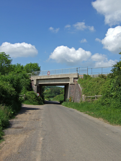
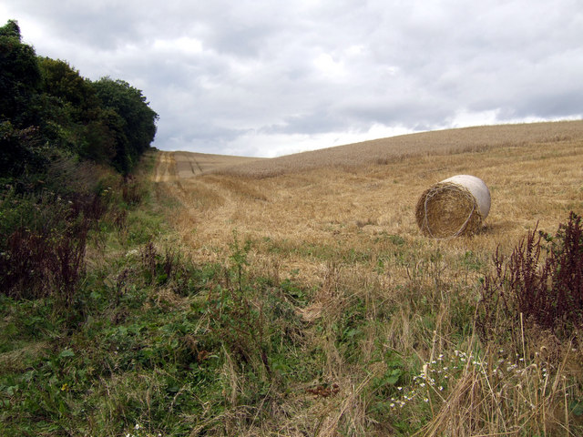
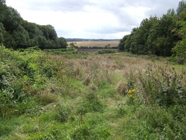
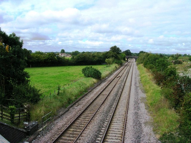
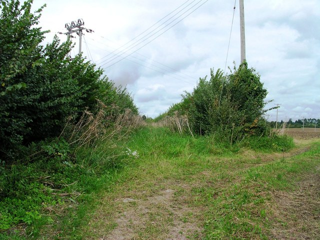
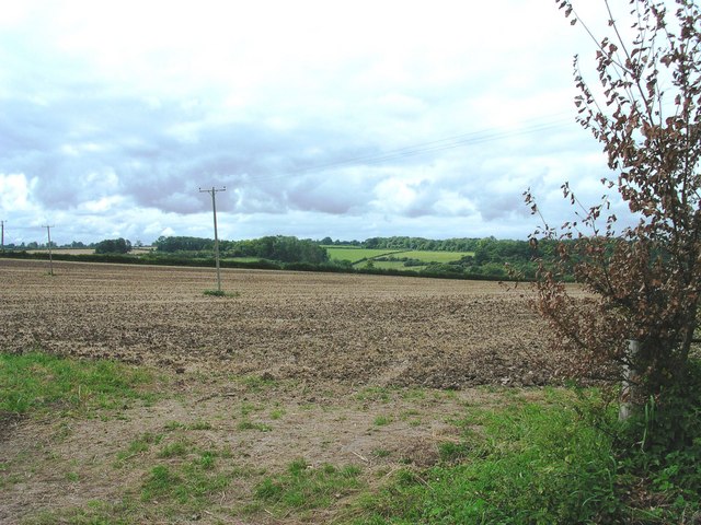
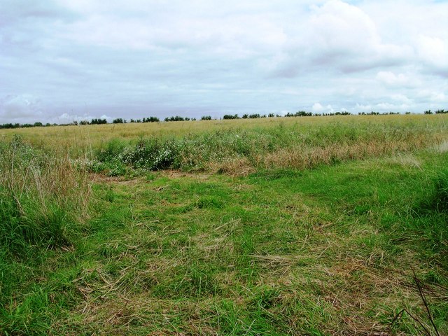
Charlton Mackrell Images
Images are sourced within 2km of 51.05855/-2.6735225 or Grid Reference ST5229. Thanks to Geograph Open Source API. All images are credited.
Charlton Mackrell is located at Grid Ref: ST5229 (Lat: 51.05855, Lng: -2.6735225)
Administrative County: Somerset
District: South Somerset
Police Authority: Avon and Somerset
What 3 Words
///split.audit.hides. Near Ilchester, Somerset
Nearby Locations
Related Wikis
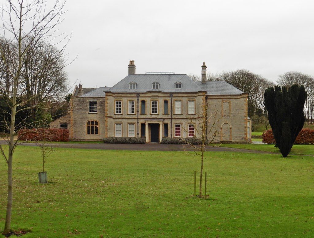
Charlton House, Charlton Mackrell
Charlton House is a Grade II* listed house in Charlton Mackrell, Somerset. == History == Charlton House was built in 1726, with later extensions. The property...

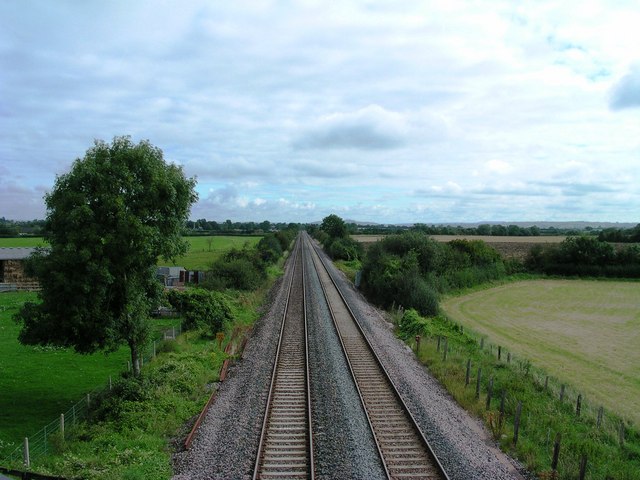
Charlton Mackrell railway station
Charlton Mackrell railway station was a minor railway station serving the village of Charlton Mackrell in Somerset, England, from 1905 until 1962. ��2...

The Court, Charlton Mackrell
The Court is a Grade II* listed house, and former rectory, in Charlton Mackrell, Somerset. == History == The Court was built in 1792, for Richard Ford...

Charlton Mackrell
Charlton Mackrell is a village and former civil parish, now in the parish of The Charltons, in the Somerset district, in the ceremonial county of Somerset...
Nearby Amenities
Located within 500m of 51.05855,-2.6735225Have you been to Charlton Mackrell?
Leave your review of Charlton Mackrell below (or comments, questions and feedback).