Charlton Hill
Settlement in Shropshire
England
Charlton Hill

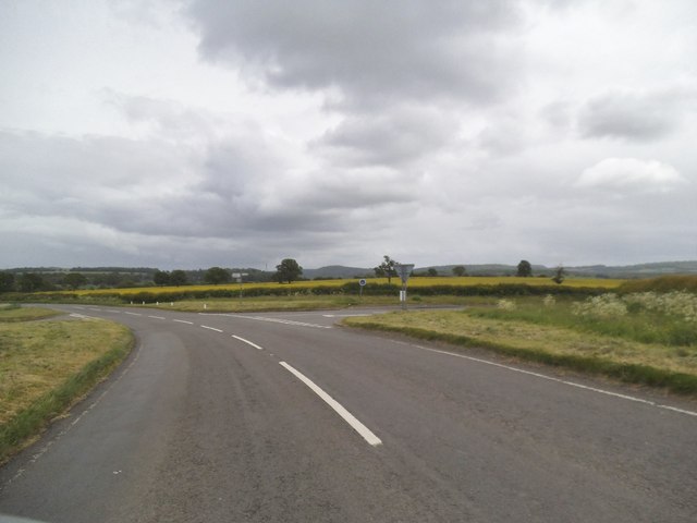
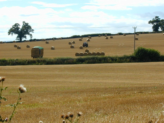
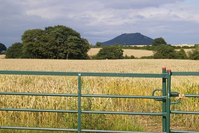
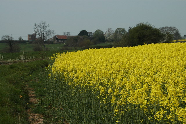
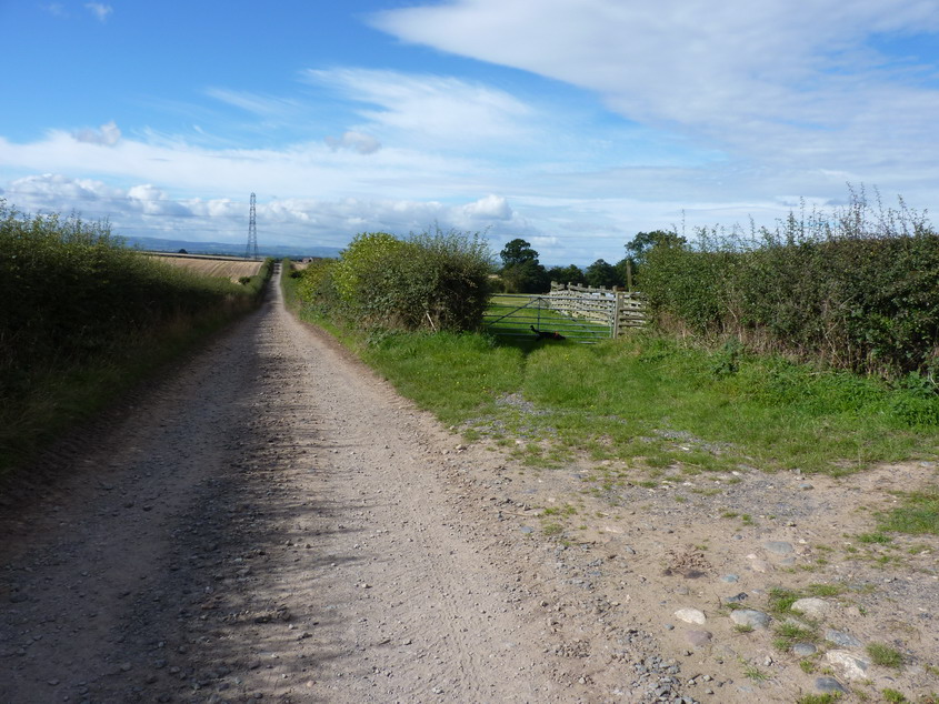
Charlton Hill is a small village located in the county of Shropshire, England. Situated in the West Midlands region, it lies approximately 5 miles northeast of the town of Shrewsbury. The village is nestled in a picturesque rural setting, surrounded by rolling hills and lush green fields.
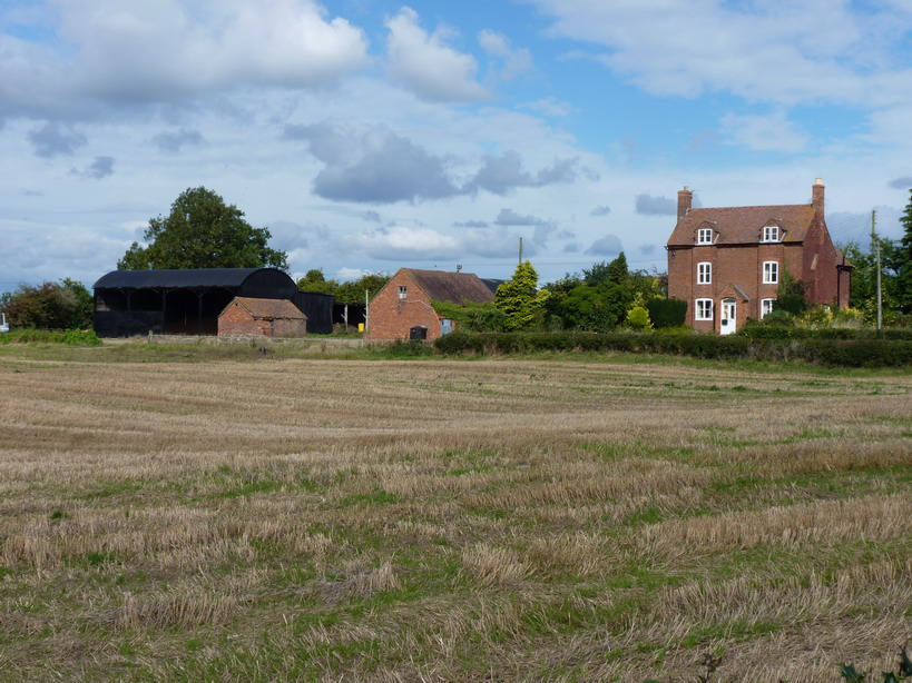
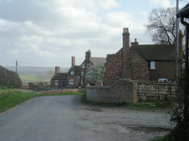
With a population of around 500 residents, Charlton Hill maintains a tight-knit community atmosphere. The village is known for its charming cottages and historic buildings, which provide a glimpse into its rich heritage. Many of these buildings date back to the 17th and 18th centuries, showcasing traditional architectural styles.
The village is home to a few amenities, including a local pub and a village hall that serves as a gathering place for community events and activities. Despite its small size, Charlton Hill offers access to essential services and facilities, with larger towns and cities nearby providing additional amenities.
The surrounding countryside offers plenty of opportunities for outdoor activities. Residents and visitors can enjoy leisurely walks along scenic trails, cycling routes, and horse riding. The tranquil atmosphere and beautiful natural surroundings make Charlton Hill an ideal destination for those seeking a peaceful retreat away from the hustle and bustle of urban life.
Overall, Charlton Hill is a charming village that epitomizes the traditional English countryside. Its idyllic setting, historic buildings, and close-knit community create a welcoming and serene environment for residents and visitors alike.
If you have any feedback on the listing, please let us know in the comments section below.
Charlton Hill Images
Images are sourced within 2km of 52.662645/-2.610198 or Grid Reference SJ5807. Thanks to Geograph Open Source API. All images are credited.


Charlton Hill is located at Grid Ref: SJ5807 (Lat: 52.662645, Lng: -2.610198)
Unitary Authority: Shropshire
Police Authority: West Merica
What 3 Words
///accusing.roost.wonderful. Near Withington, Shropshire
Nearby Locations
Related Wikis
Donnington, Wroxeter and Uppington
Donnington is a hamlet in the English county of Shropshire. It forms part of the civil parish of Wroxeter and Uppington. It lies near to Charlton Hill...

Eaton Constantine
Eaton Constantine is a small village and former civil parish, now in the parish of Leighton and Eaton Constantine, in Shropshire, England. It is located...
Eyton on Severn
Eyton on Severn (pronounced: Eye-ton on Severn) is a small village in the English county of Shropshire, east of Shrewsbury. It is located on a ridge above...
Wroxeter and Uppington
Wroxeter and Uppington is a civil parish in the English county of Shropshire. The population of the Civil Parish at the 2011 census was 382. It lies mainly...

Uppington
Uppington is a village and former civil parish, now in the parish of Wroxeter and Uppington, in the Shropshire district, in the ceremonial county of Shropshire...
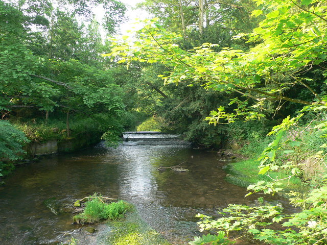
Cound Brook
Cound Brook (pronounced COOnd) is a tributary of the River Severn in Shropshire, England, running to south of the county town Shrewsbury. The Cound Brook...
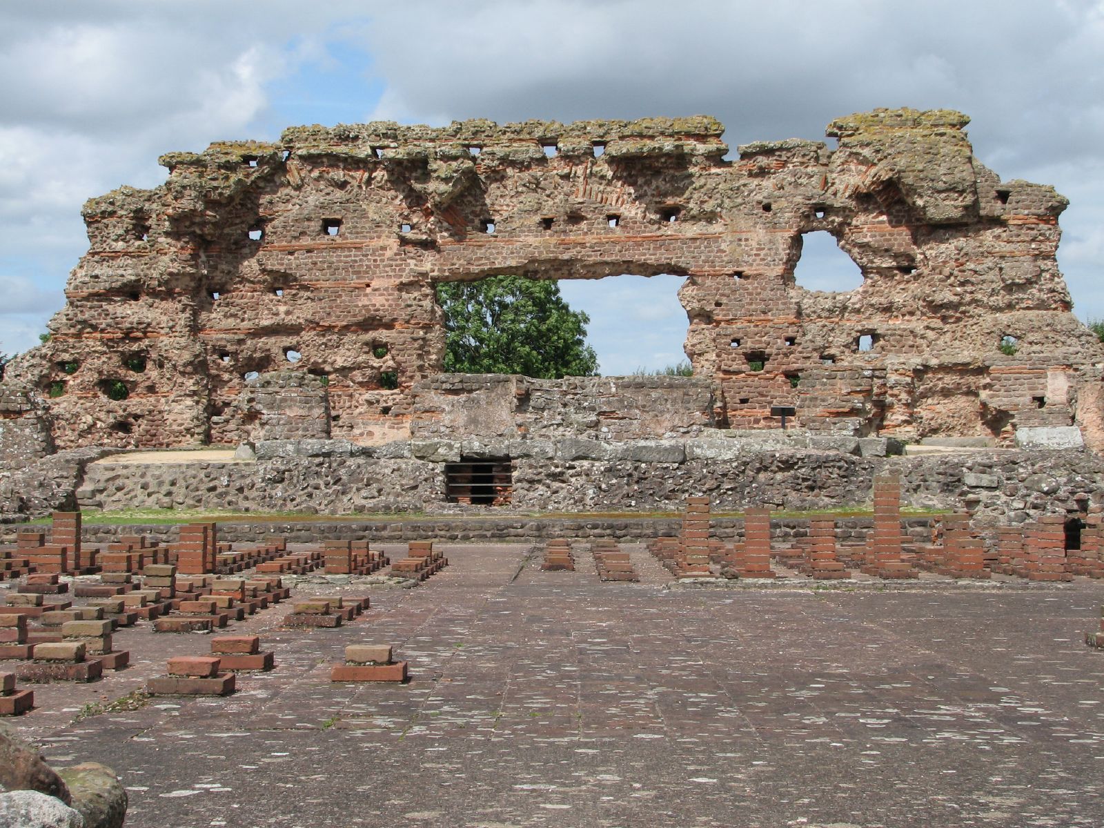
Viroconium Cornoviorum
Viroconium or Uriconium, formally Viroconium Cornoviorum, was a Roman city, one corner of which is now occupied by Wroxeter, a small village in Shropshire...
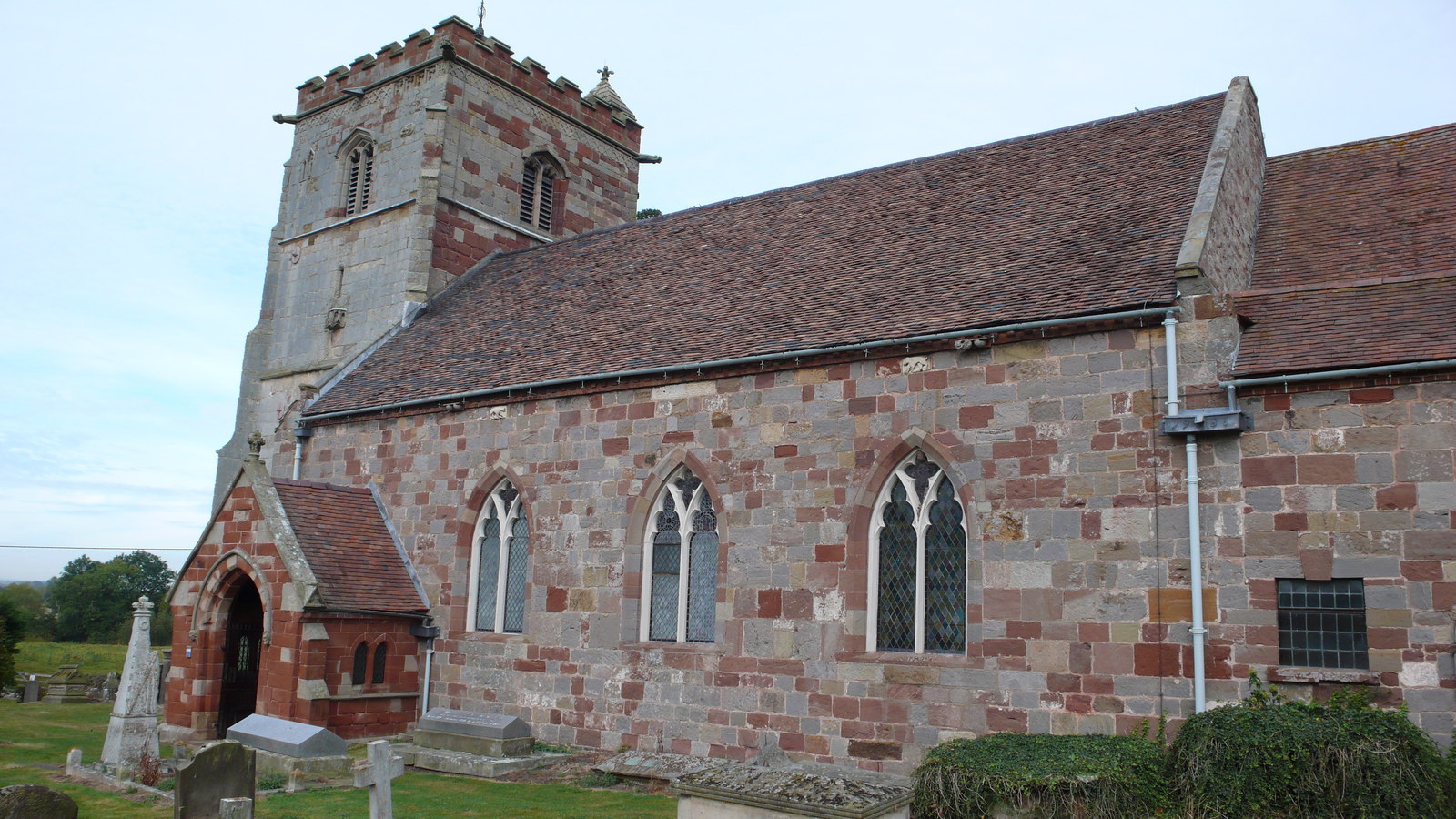
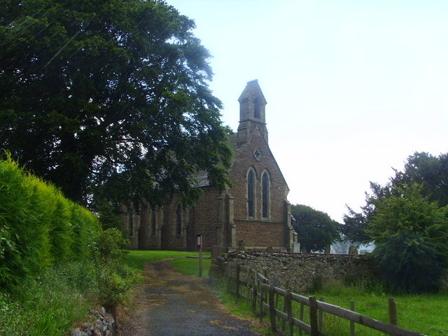
St Andrew's Church, Wroxeter
St Andrew's Church is a redundant Church of England parish church in the village of Wroxeter, Shropshire, England. It is recorded in the National Heritage...
Nearby Amenities
Located within 500m of 52.662645,-2.610198Have you been to Charlton Hill?
Leave your review of Charlton Hill below (or comments, questions and feedback).