Charlton Marshall

Settlement in Dorset

England

Charlton Marshall

Bus stops on A350 between Littleton and Charlton Marshall These two stops seem oddly placed, on the edge of the village ahead.  However, there are further stops further along, and these serve houses and businesses at Littleton
Bus stops on A350 between Littleton and Charlton Marshall Credit: David Smith

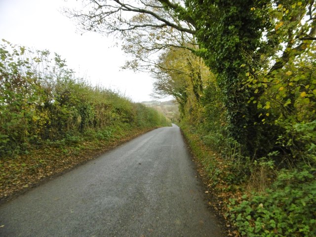
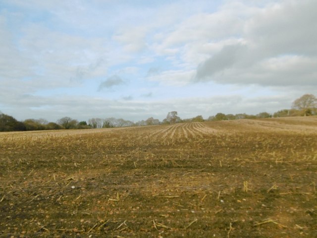
Charlton Marshall is a picturesque village located in the county of Dorset, England. Situated on the banks of the River Stour, it is nestled in the beautiful Dorset countryside, offering residents and visitors a tranquil and idyllic setting.

The village is home to approximately 1,000 residents and is characterized by its charming thatched cottages, historic buildings, and traditional English village atmosphere. It has a close-knit community feel, with various community events and activities organized throughout the year.

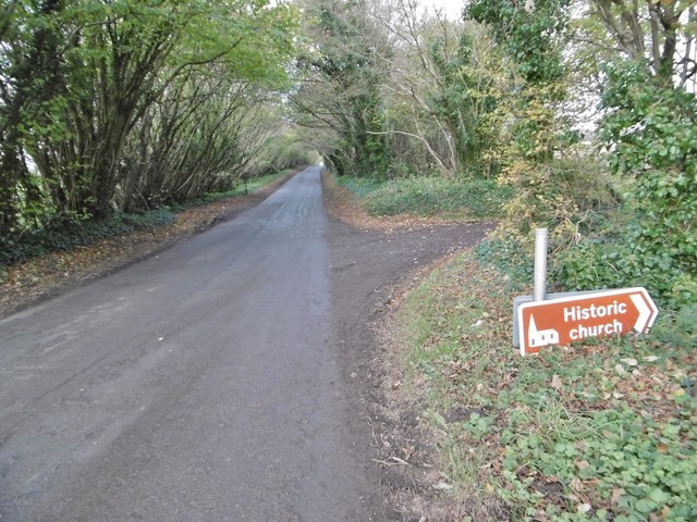
The centerpiece of Charlton Marshall is the All Saints' Church, a Grade I listed building that dates back to the 13th century. With its striking architecture and serene surroundings, it is a popular spot for both locals and tourists to visit.

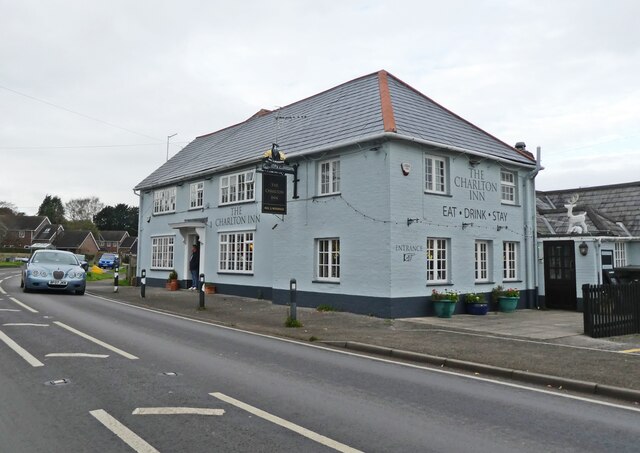
The village also boasts a primary school, a village hall, and a local pub, providing essential amenities for its residents. Additionally, there are several footpaths and bridleways that surround Charlton Marshall, making it an ideal location for outdoor enthusiasts and nature lovers.

Charlton Marshall benefits from its proximity to the larger towns of Blandford Forum and Dorchester, where residents can find a wider range of amenities, including shops, supermarkets, and healthcare facilities.

Overall, Charlton Marshall offers a charming and peaceful retreat for those seeking a quintessential English village experience. Its beautiful landscapes, historic architecture, and strong sense of community make it a desirable place to live or visit in Dorset.

If you have any feedback on the listing, please let us know in the comments section below.

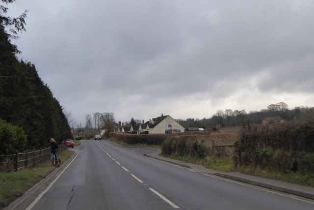
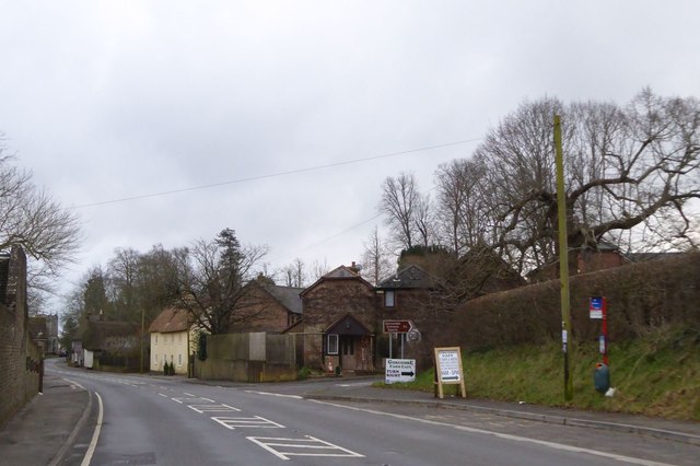
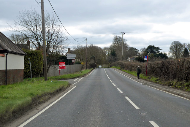
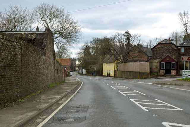
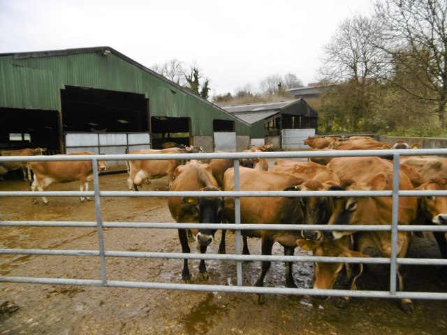
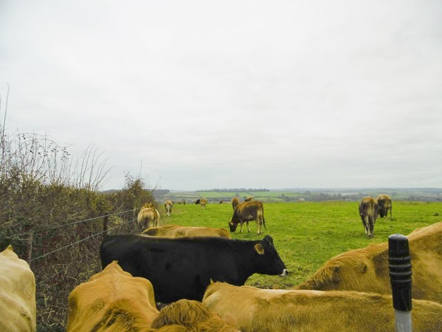
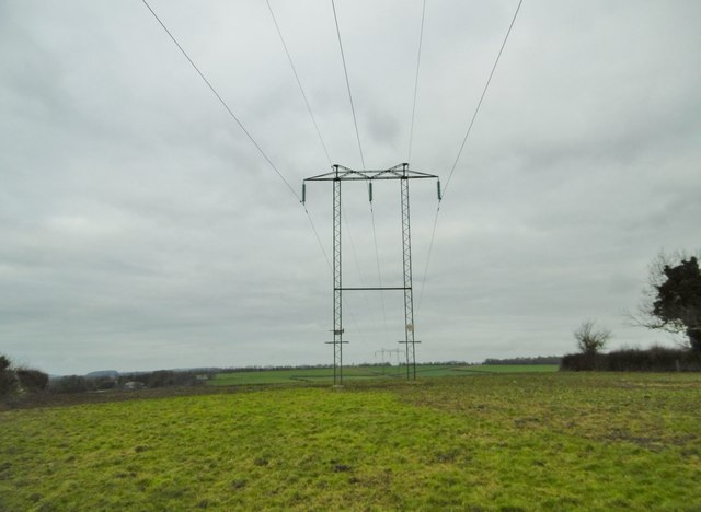
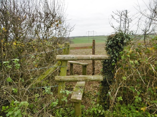
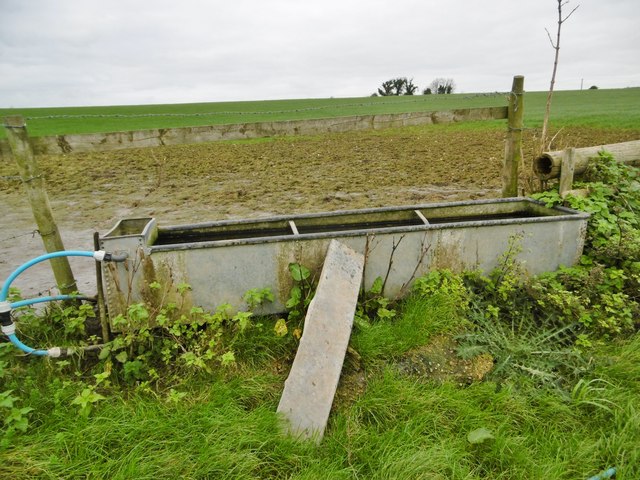
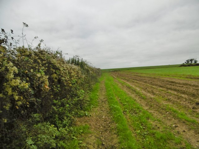
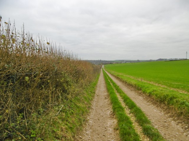
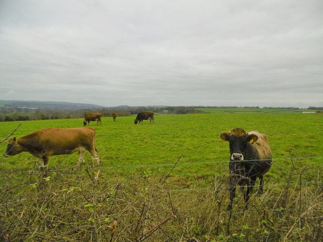
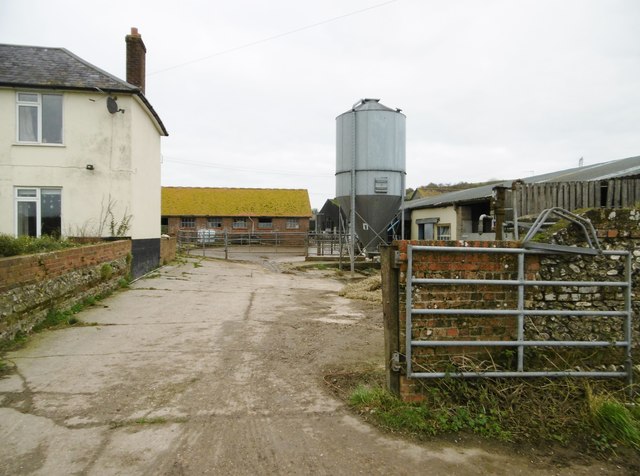
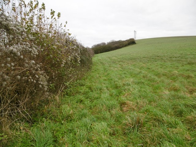
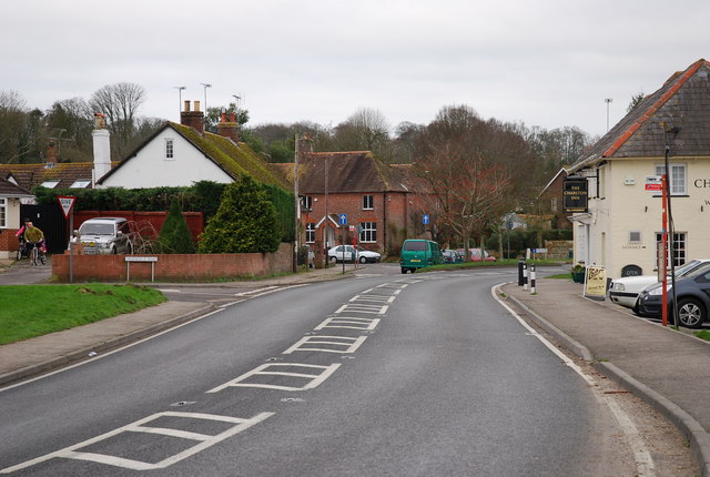
Charlton Marshall Images

Images are sourced within 2km of 50.834582/-2.1410571 or Grid Reference ST9003. Thanks to Geograph Open Source API. All images are credited.

Bus stops on A350 between Littleton and Charlton Marshall These two stops seem oddly placed, on the edge of the village ahead.  However, there are further stops further along, and these serve houses and businesses at Littleton
Bus stops on A350 between Littleton and Charlton Marshall
These two stops seem oddly placed, on the edge of the village ahead. However, there are further stops further along, and these serve houses and businesses at Littleton
Bus stop at road junction in Charlton on the Hill
A350, Lower Blandford St. Mary Heading south, with Church Lane and church off to the left.
A350, Lower Blandford St. Mary
Heading south, with Church Lane and church off to the left.
A350 through Charlton Marshall Heading south.
A350 through Charlton Marshall
Heading south.
The Charlton Inn,  Charlton Marshall
The Charlton Inn, Charlton Marshall
Tarrant Crawford, country road From the crossroads at Keyneston Mill to Tarrant Keyneston.
Tarrant Crawford, country road
From the crossroads at Keyneston Mill to Tarrant Keyneston.
Tarrant Crawford, stubble field
Tarrant Crawford, road sign On the road to Keyneston Mill Corner; road sign T105, to <a href="https://www.geograph.org.uk/photo/4754763">ST9203 : Tarrant Crawford, St. Mary's</a>. <span class="nowrap"><a title="http://www.legislation.gov.uk/uksi/2002/3113/made" rel="nofollow ugc noopener" href="http://www.legislation.gov.uk/uksi/2002/3113/made">Link</a><img style="margin-left:2px;" alt="External link" title="External link - shift click to open in new window" src="https://s1.geograph.org.uk/img/external.png" width="10" height="10"/></span>
Tarrant Crawford, road sign
On the road to Keyneston Mill Corner; road sign T105, to ST9203 : Tarrant Crawford, St. Mary's. LinkExternal link
Tarrant Keyneston, farmyard A beautiful herd of Jerseys waiting to be milked at Lophill Farm.
Tarrant Keyneston, farmyard
A beautiful herd of Jerseys waiting to be milked at Lophill Farm.
Tarrant Keyneston, cattle grazing On the bridleway to Lophill Farm and Charlton Marshall; a few of a beautiful herd of Jerseys, very inquisitive with eye, nose and tongue.
Tarrant Keyneston, cattle grazing
On the bridleway to Lophill Farm and Charlton Marshall; a few of a beautiful herd of Jerseys, very inquisitive with eye, nose and tongue.
Tarrant Keyneston, power lines Striding across farmland.
Tarrant Keyneston, power lines
Striding across farmland.
Tarrant Keyneston, stiles On the footpath from Down Barn, to meet the bridleway to Charlton Marshall and Buzbury.
Tarrant Keyneston, stiles
On the footpath from Down Barn, to meet the bridleway to Charlton Marshall and Buzbury.
Tarrant Keyneston, drinking trough
Tarrant Keyneston, footpath From Down Barn to the bridleway to Buzbury or Charlton Marshall.
Tarrant Keyneston, footpath
From Down Barn to the bridleway to Buzbury or Charlton Marshall.
Tarrant Keyneston, farm road From Down Barn to arable land.
Tarrant Keyneston, farm road
From Down Barn to arable land.
Langton Long Blandford, cattle grazing A few of a beautiful herd of Jerseys above Lophill Farm.
Langton Long Blandford, cattle grazing
A few of a beautiful herd of Jerseys above Lophill Farm.
Tarrant Keyneston, Manor Dairy Farm
Tarrant Keyneston, footpath Along field boundaries, from Manor Dairy Farm to Wimborne Road.
Tarrant Keyneston, footpath
Along field boundaries, from Manor Dairy Farm to Wimborne Road.
Show me another place!

Charlton Marshall is located at Grid Ref: ST9003 (Lat: 50.834582, Lng: -2.1410571)

Unitary Authority: Dorset

Police Authority: Dorset

What 3 Words

///belly.smart.contoured. Near Charlton Marshall, Dorset

Nearby Locations

Charlton Marshall

Related Wikis

Charlton Marshall

Charlton Marshall is a village and civil parish in the English county of Dorset. It lies within the North Dorset administrative district, on the A350 road...

Charlton Marshall Halt railway station

Charlton Marshall Halt was a station in the English county of Dorset. It was located between Blandford Forum and Bailey Gate on the Somerset and Dorset...

Tarrant Abbey

Tarrant Abbey was a Cistercian nunnery in Tarrant Crawford, Dorset, England. == History == The abbey was founded as an independent monastery in 1186 by...

River Tarrant

The River Tarrant is a 12 km long tributary of the River Stour in Dorset. The valley lies to the east of Blandford Forum. The river rises near Cranborne...

Nearby Amenities

Located within 500m of 50.834582,-2.1410571
Parking
Lat/Long: 50.8327007/-2.1422196
Charlton Marshall
Place: village
Wikidata: Q2215951
Lat/Long: 50.8343965/-2.1422155
Turning Circle
Lat/Long: 50.8351611/-2.1459622
Turning Circle
Lat/Long: 50.8361236/-2.1453892
Material: wood
Power: pole
Source: bing
Lat/Long: 50.8320245/-2.1462596
Material: wood
Power: pole
Source: bing
Lat/Long: 50.8322097/-2.1457984
Post Box
Collection Times: Mo-Fr 16:00; Sa 10:00
Operator: Royal Mail
Post Box Mounting: brick_pillar
Post Box Type: wall
Ref: DT11 5
Ref GB Uprn: 10015476011
Royal Cypher: EIIR
Royal Cypher Wikidata: Q33102113
Lat/Long: 50.8343596/-2.1409857
Historic: memorial
Memorial: war_memorial
Lat/Long: 50.8359296/-2.1428425
Post Box
Collection Times: Mo-Fr 11:00; Sa 11:00
Operator: Royal Mail
Post Box Mounting: pier
Post Box Type: lamp
Ref: DT11 29
Ref GB Uprn: 10015323266
Royal Cypher: EIIR
Royal Cypher Wikidata: Q33102113
Lat/Long: 50.83224/-2.1367909
Speed Camera
Speed Camera
Lat/Long: 50.8337548/-2.1389779
Bus Stop
Park Hill
Bench: no
Bus: yes
Naptan AtcoCode: 1200POA10405
Naptan Bearing: N
Naptan CommonName: Park Hill
Naptan Indicator: N-bound
Naptan NaptanCode: dorawdaw
Naptan Street: Bournemouth Road
Naptan Verified: no
Public Transport: platform
Shelter: no
Lat/Long: 50.8376191/-2.1450765
Bus Stop
Park Hill
Bus: yes
Naptan AtcoCode: 1200POA10404
Naptan Bearing: SE
Naptan CommonName: Park Hill
Naptan Indicator: SE-bound
Naptan NaptanCode: dorawdga
Naptan Street: Bournemouth Road
Naptan Verified: no
Public Transport: platform
Lat/Long: 50.8373049/-2.144528
Bus Stop
Charlton Marshall, Charlton Inn
Bus: yes
Naptan AtcoCode: 1200POA10406
Naptan Bearing: E
Naptan CommonName: Charlton Inn
Naptan Indicator: E-bound
Naptan NaptanCode: dorawdgt
Naptan Street: Bournemouth Road
Naptan Verified: no
Public Transport: platform
Lat/Long: 50.8343329/-2.1400501
Bus Stop
Charlton Marshall, Charlton Inn
Bus: yes
Naptan AtcoCode: 1200POA10407
Naptan Bearing: NW
Naptan CommonName: Charlton Inn
Naptan Indicator: NW-bound
Naptan NaptanCode: dorawdgj
Naptan Street: Bournemouth Road
Naptan Verified: no
Public Transport: platform
Lat/Long: 50.8343939/-2.1410626
Bus Stop
Meadow Road
Bench: no
Bin: no
Bus: yes
Lit: no
Naptan AtcoCode: 1200POA10408
Naptan Bearing: SE
Naptan CommonName: Green Close
Naptan Indicator: SE-bound
Naptan NaptanCode: dorawdjw
Naptan Street: Bournemouth Road
Naptan Verified: no
Public Transport: platform
Shelter: no
Tactile Paving: no
Lat/Long: 50.8326186/-2.1367684
Bus Stop
Meadow Road
Bench: no
Bin: no
Bus: yes
Lit: no
Naptan AtcoCode: 1200POA10456
Naptan Bearing: N
Naptan CommonName: Meadow Road
Naptan Indicator: N-bound
Naptan NaptanCode: dorawdma
Naptan Street: Bournemouth Road
Naptan Verified: no
Public Transport: platform
Shelter: no
Tactile Paving: no
Lat/Long: 50.8321442/-2.1366772
Bench
Backrest: yes
Colour: brown
Material: wood
Lat/Long: 50.833823/-2.1449458
Entrance: main
Lat/Long: 50.8359992/-2.1428931
Playground: swing
Lat/Long: 50.8327697/-2.1420238
Playground: swing
Lat/Long: 50.8327346/-2.1419893
Playground: playhouse
Lat/Long: 50.8326935/-2.1419302
Playground: springy
Lat/Long: 50.8327492/-2.1418317
Bench
Lat/Long: 50.8328086/-2.1419558
Waste Basket
Lat/Long: 50.8328356/-2.1420475
Grit Bin
Lat/Long: 50.8344663/-2.1407198
Addr Housenumber: 30
Addr Street: Gravel Lane
Lat/Long: 50.8384318/-2.1443252
Addr Housenumber: 28
Addr Street: Gravel Lane
Lat/Long: 50.8383577/-2.144323
Addr Housenumber: 22
Addr Street: Gravel Lane
Lat/Long: 50.8382364/-2.1443461
Addr Housenumber: 20
Addr Street: Gravel Lane
Lat/Long: 50.8381782/-2.144345
Fitness Station: horizontal_bar
Leisure: fitness_station
Sport: fitness
Lat/Long: 50.83243/-2.1415815
Fitness Station: sit-up
Leisure: fitness_station
Sport: fitness
Lat/Long: 50.8323881/-2.1414861
Fitness Station: yes
Leisure: fitness_station
Sport: fitness
Lat/Long: 50.8323973/-2.1414093
Fitness Station: yes
Leisure: fitness_station
Sport: fitness
Lat/Long: 50.8323739/-2.1413709
Fitness Station: yes
Leisure: fitness_station
Sport: fitness
Lat/Long: 50.8324709/-2.1415828
Fitness Station: yes
Leisure: fitness_station
Sport: fitness
Lat/Long: 50.8324776/-2.1416332
Speed Camera
Lat/Long: 50.8322159/-2.1366613
Depth: 0.3
Ford: yes
Lat/Long: 50.8364313/-2.1420511
Crossing
Lat/Long: 50.8374246/-2.1447387
The data included in this document is from www.openstreetmap.org. The data is made available under ODbL.

Have you been to Charlton Marshall?

Leave your review of Charlton Marshall below (or comments, questions and feedback).