Chapel Fields
Settlement in Lancashire
England
Chapel Fields
Chapel Fields is a small village located in the county of Lancashire, in North West England. Situated approximately 7 miles east of the city of Preston, Chapel Fields is a rural community known for its picturesque landscapes and charming atmosphere.
The village is characterized by its traditional stone-built cottages, with some dating back to the 17th century. The architectural style of the buildings reflects the village's rich history and heritage. Surrounded by rolling hills and lush green fields, Chapel Fields offers breathtaking views of the countryside, making it a popular destination for nature lovers and outdoor enthusiasts.
Despite its rural setting, Chapel Fields is well-connected to major transportation routes. The M6 motorway is easily accessible, providing convenient links to nearby towns and cities. Additionally, the village is served by regular bus services, allowing residents to easily commute to neighboring areas.
Chapel Fields boasts a close-knit community, with a range of amenities and services available to its residents. The village is home to a primary school, a village hall, and a local pub, providing a focal point for social gatherings. There are also several walking trails and nature reserves in the vicinity, offering opportunities for outdoor activities such as hiking and birdwatching.
Overall, Chapel Fields is a tranquil and picturesque village, offering a peaceful countryside lifestyle while still providing easy access to urban amenities. Its natural beauty and welcoming community make it an attractive place to live or visit for those seeking a slower pace of life.
If you have any feedback on the listing, please let us know in the comments section below.
Chapel Fields Images
Images are sourced within 2km of 53.534775/-2.5697878 or Grid Reference SD6204. Thanks to Geograph Open Source API. All images are credited.


Chapel Fields is located at Grid Ref: SD6204 (Lat: 53.534775, Lng: -2.5697878)
Unitary Authority: Wigan
Police Authority: Greater Manchester
What 3 Words
///lofts.hotel.cool. Near Hindley, Manchester
Nearby Locations
Related Wikis
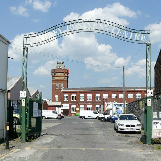
Hindley, Greater Manchester
Hindley ( HIND-lee) is a town within the Metropolitan Borough of Wigan in Greater Manchester, England. It is three miles (4.8 km) east of Wigan and covers...

Outwood Academy Hindley
Outwood Academy Hindley (formerly Mornington High School and then Hindley High School) is a coeducational secondary school located in Hindley in the English...
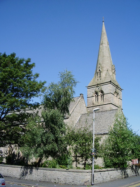
St Peter's Church, Hindley
St Peter's Church is located on the junction of Atherton Road and Liverpool Road, Hindley, Wigan, Greater Manchester, England. It is an active Anglican...
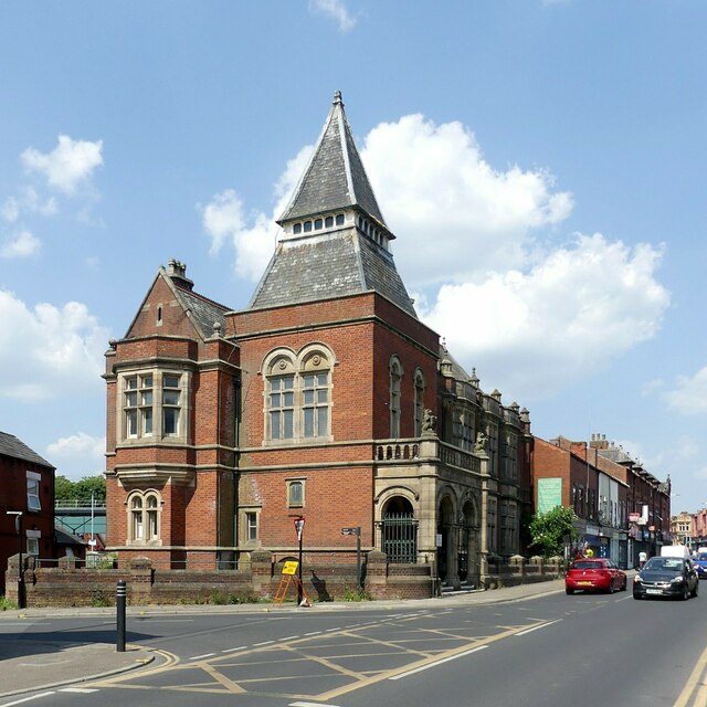
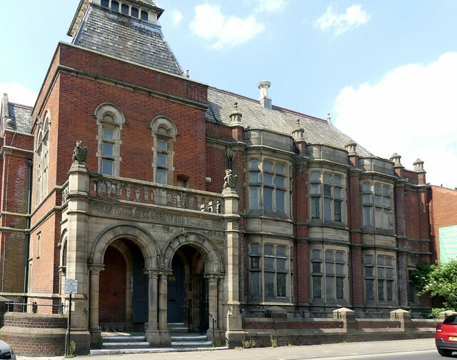
Hindley Town Hall
Hindley Town Hall, also known as Hindley Council Offices, is a municipal building in Cross Street, Hindley, Greater Manchester, England. The building is...
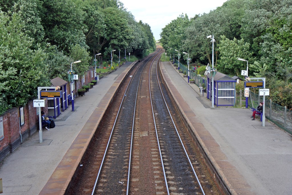
Hindley railway station
Hindley railway station is a railway station that serves the town of Hindley in Greater Manchester, England. It is on the Manchester to Southport line...
Oakfield High School and College
Oakfield High School and College is a special school based in Hindley, Wigan. The most recent Ofsted inspection rated the school as "Outstanding".The school...

Amberswood railway station
Amberswood (Hindley) railway station was in Hindley, Wigan (now in Greater Manchester, England) on the Whelley Loop section of the Lancashire Union Railway...
Hindley South railway station
Hindley South railway station served the communities of Hindley and Platt Bridge, south-east of Wigan, England. == Location and nearby stations == The...
Nearby Amenities
Located within 500m of 53.534775,-2.5697878Have you been to Chapel Fields?
Leave your review of Chapel Fields below (or comments, questions and feedback).