Chapel Green

Settlement in Berkshire

England

Chapel Green

Lake on the Golf Course The map shows a number of small ponds in this area. This looks to be the largest.
Lake on the Golf Course Credit: Des Blenkinsopp

The requested URL returned error: 429 Too Many Requests

If you have any feedback on the listing, please let us know in the comments section below.
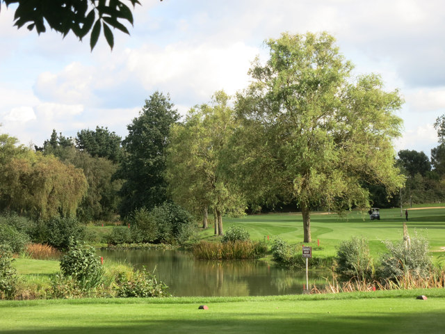
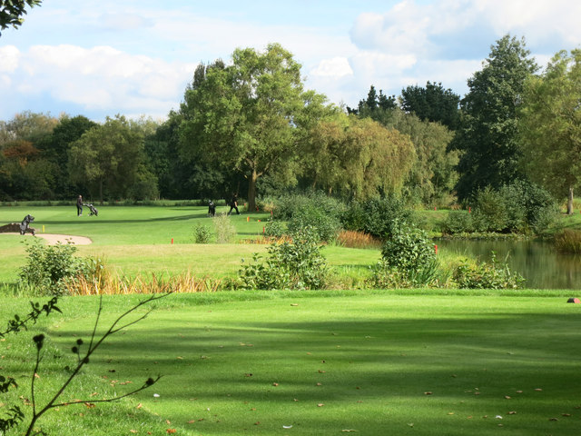
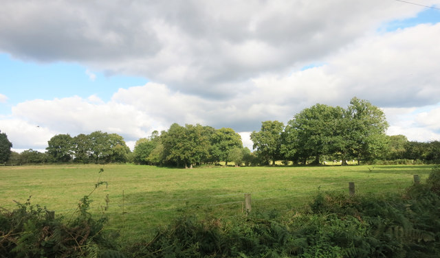
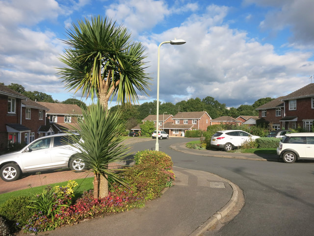
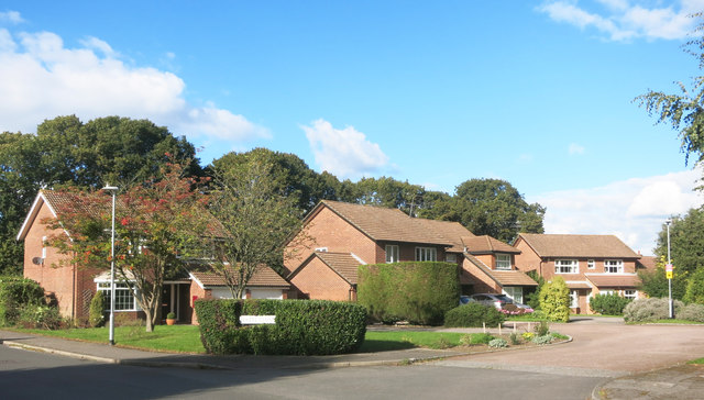
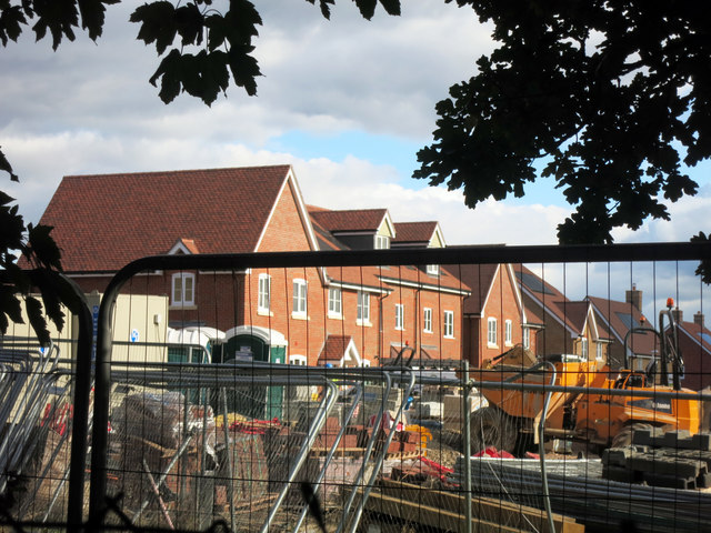
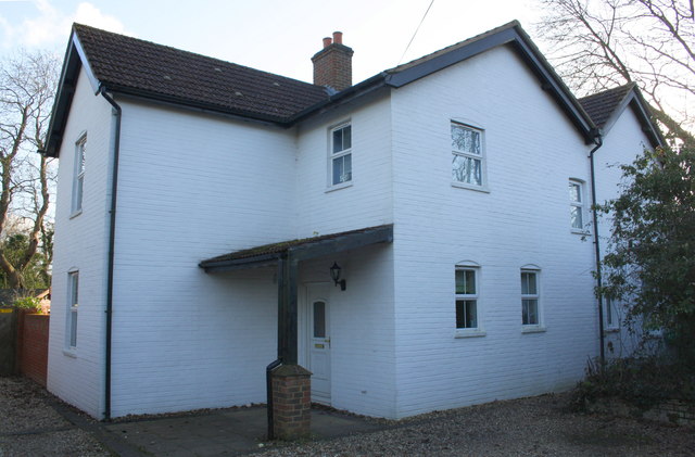
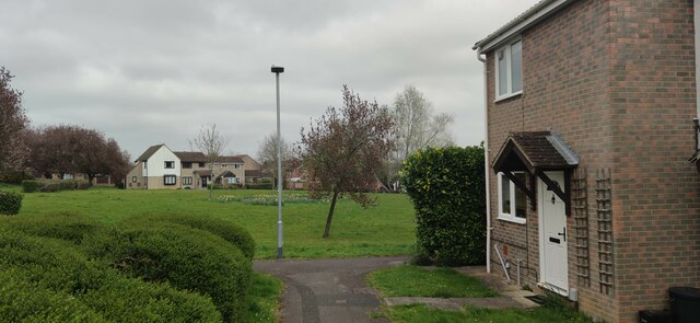
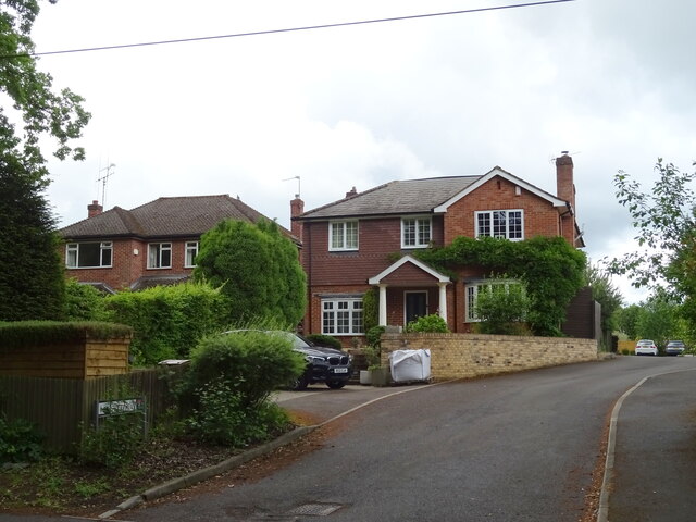
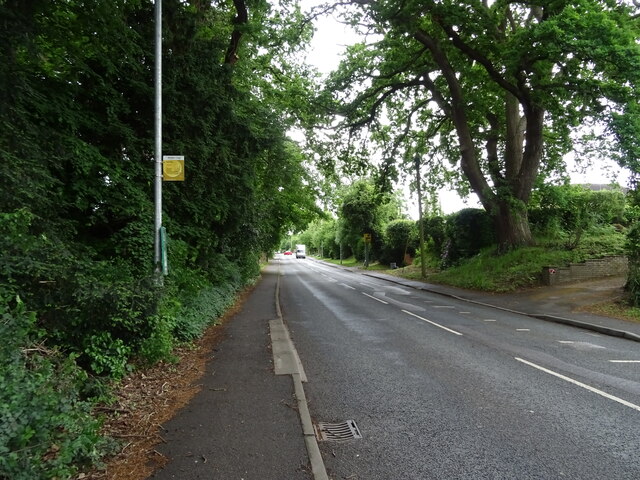
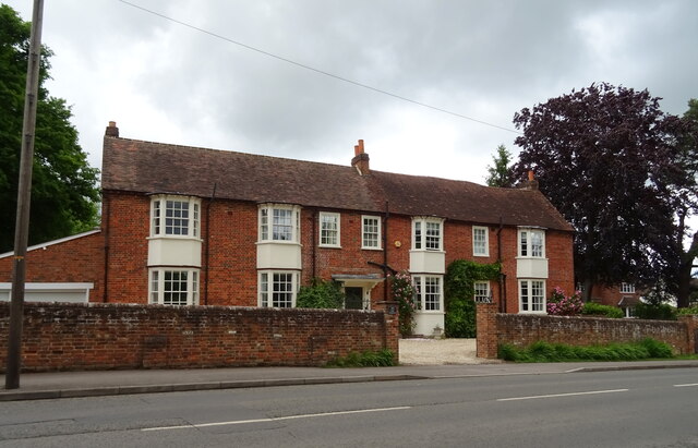
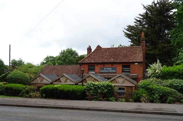
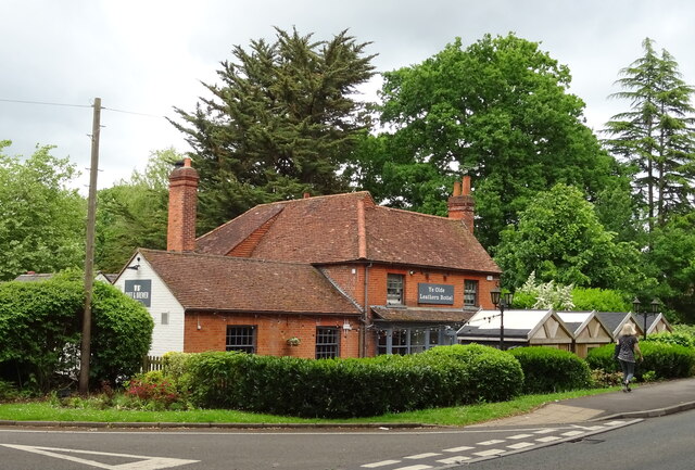
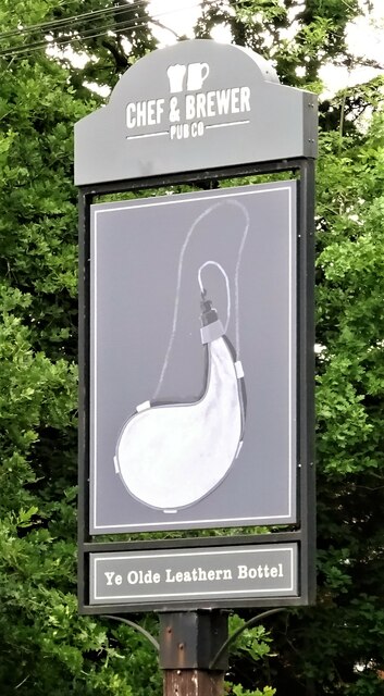
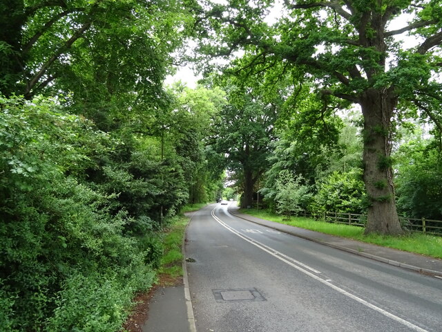
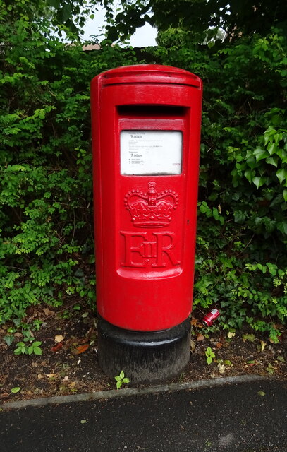
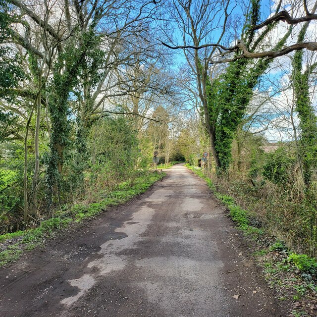
Chapel Green Images

Images are sourced within 2km of 51.400091/-0.83408379 or Grid Reference SU8167. Thanks to Geograph Open Source API. All images are credited.

Lake on the Golf Course The map shows a number of small ponds in this area. This looks to be the largest.
Lake on the Golf Course
The map shows a number of small ponds in this area. This looks to be the largest.
Sand Martins Golf Course
Fields at Randall's Farm
Woosehill Lane, Wokingham The Wikipedia page about Woosehill is on <span class="nowrap"><a title="https://en.wikipedia.org/wiki/Woosehill" rel="nofollow ugc noopener" href="https://en.wikipedia.org/wiki/Woosehill">Link</a><img style="margin-left:2px;" alt="External link" title="External link - shift click to open in new window" src="https://s1.geograph.org.uk/img/external.png" width="10" height="10"/></span>
Woosehill Lane, Wokingham
The Wikipedia page about Woosehill is on LinkExternal link
Hazel Close, Wokingham One of a group of short, new residential streets all named after trees.
The next estate along, all the streets are named after birds.
Before that, the real things were here.
Hazel Close, Wokingham
One of a group of short, new residential streets all named after trees. The next estate along, all the streets are named after birds. Before that, the real things were here.
Building Site, Folly Court New housing going up off Barkham Road.
Building Site, Folly Court
New housing going up off Barkham Road.
Benchmark on Evendon's Lodge Ordnance Survey cut mark benchmark described on the Bench Mark Database at <span class="nowrap"><a title="http://www.bench-marks.org.uk/bm65041" rel="nofollow ugc noopener" href="http://www.bench-marks.org.uk/bm65041">Link</a><img style="margin-left:2px;" alt="External link" title="External link - shift click to open in new window" src="https://s1.geograph.org.uk/img/external.png" width="10" height="10"/></span>
Benchmark on Evendon's Lodge
Ordnance Survey cut mark benchmark described on the Bench Mark Database at LinkExternal link
Evendon's Lodge There is an OS benchmark <a href="https://www.geograph.org.uk/photo/5193193">SU7966 : Benchmark on Evendon's Lodge</a> on the side of the house (right of the two ground floor windows) at a junction in the brickwork, suggesting the house has been extended/rebuilt since the 1964-7 Map was published.
Evendon's Lodge
There is an OS benchmark SU7966 : Benchmark on Evendon's Lodge on the side of the house (right of the two ground floor windows) at a junction in the brickwork, suggesting the house has been extended/rebuilt since the 1964-7 Map was published.
Modern terrace houses on Swallow Way A small park in Limmerhill, Wokingham.
Modern terrace houses on Swallow Way
A small park in Limmerhill, Wokingham.
Tavistock Mews, Wokingham
Bus stop on Barkham Road (B3349)
House on Barkham Road (B3349)
Ye Olde Leathern Bottel On Barkham Road.
See <a href="https://www.geograph.org.uk/photo/7281378">SU7967 : Sign for the Ye Olde Leathern Bottel</a> for sign.
Ye Olde Leathern Bottel
On Barkham Road. See SU7967 : Sign for the Ye Olde Leathern Bottel for sign.
Ye Olde Leathern Bottel On Barkham Road.
See <a href="https://www.geograph.org.uk/photo/7281378">SU7967 : Sign for the Ye Olde Leathern Bottel</a> for sign.
Ye Olde Leathern Bottel
On Barkham Road. See SU7967 : Sign for the Ye Olde Leathern Bottel for sign.
Sign for the Ye Olde Leathern Bottel See <a href="https://www.geograph.org.uk/photo/7281375">SU7967 : Ye Olde Leathern Bottel</a> and <a href="https://www.geograph.org.uk/photo/7281376">SU7967 : Ye Olde Leathern Bottel</a> for public house.
Sign for the Ye Olde Leathern Bottel
Barkham Road (B3349) Towards Barkham.
Barkham Road (B3349)
Towards Barkham.
Elizabeth II postbox on Barkham Road, Wokingham Postbox No. RG41 29.
Elizabeth II postbox on Barkham Road, Wokingham
Postbox No. RG41 29.
Doles Lane Farm track close to Highfield Farm.
Doles Lane
Farm track close to Highfield Farm.
Show me another place!

Chapel Green is located at Grid Ref: SU8167 (Lat: 51.400091, Lng: -0.83408379)

Unitary Authority: Wokingham

Police Authority: Thames Valley

What 3 Words

///oldest.older.fixed. Near Wokingham, Berkshire

Nearby Locations

Chapel Green

Related Wikis

Luckley House School

Luckley House School (formerly Luckley-Oakfield School) is an independent day and boarding school, located in Berkshire in England. It has a community...

Ludgrove School

Ludgrove School is an English independent boys' preparatory boarding school. Ludgrove was founded in 1892 at Ludgrove Hall in Middlesex by the Old Etonian...

Wixenford School

Wixenford School, also known as Wixenford Preparatory School and Wixenford-Eversley, was a private preparatory school for boys near Wokingham, founded...

Wixenford

Wixenford is an area of the civil parish of Wokingham Without in which Ludgrove School stands. It adjoins Wokingham and is in the English county of Berkshire...

Nearby Amenities

Located within 500m of 51.400091,-0.83408379
Post Box
Created By: Potlatch 0.10
Lat/Long: 51.4034001/-0.8381104
Recycling
Recycling Glass: yes
Recycling Paper: yes
Lat/Long: 51.4030413/-0.8366914
Atm
Lat/Long: 51.40349/-0.8376178
Barrier: kissing_gate
Foot: yes
Lat/Long: 51.4007923/-0.8344522
Power: tower
Tower: transition
Tower Type: termination
Lat/Long: 51.4033702/-0.8385964
Traffic Calming: bump
Lat/Long: 51.399262/-0.8354718
Traffic Calming: bump
Lat/Long: 51.3993355/-0.8349886
Traffic Calming: bump
Lat/Long: 51.3994321/-0.8342016
Barrier: bollard
Lat/Long: 51.4000768/-0.8276863
Barrier: cycle_barrier
Foot: yes
Lat/Long: 51.4023906/-0.8335384
Maxheight: 3.5
Lat/Long: 51.3989297/-0.8368713
Maxheight: 3.5
Lat/Long: 51.3989514/-0.8367351
Barrier: cycle_barrier
Foot: yes
Lat/Long: 51.4016099/-0.8347223
Barrier: stile
Foot: yes
Lat/Long: 51.4027932/-0.8328538
Barrier: stile
Foot: yes
Lat/Long: 51.4028163/-0.8328192
Barrier: stile
Foot: yes
Lat/Long: 51.4040862/-0.8307931
Power: tower
Tower: transition
Tower Type: termination
Lat/Long: 51.4034607/-0.8342253
Crossing
Crossing: unmarked
Kerb: lowered
Sloped Curb: yes
Source: Bing
Lat/Long: 51.4025066/-0.8400844
Recycling
Recycling Glass: yes
Recycling Glass Bottles: yes
Recycling Type: centre
Lat/Long: 51.4030443/-0.8367845
Crossing
Crossing: uncontrolled
Lat/Long: 51.4033391/-0.8377592
Crossing
Crossing: uncontrolled
Lat/Long: 51.4025753/-0.837328
Parking
Access: customers
Fee: no
Parking: surface
Lat/Long: 51.4027663/-0.837647
Bus Stop
Naptan AtcoCode: 035076200001
Naptan NaptanCode: wokagpd
Lat/Long: 51.4020372/-0.8404295
Bench
Lat/Long: 51.4020776/-0.8403986
Telephone
Booth: KX100
Covered: booth
Mapillary: 400719501852848
Survey Date: 2022-01-30
Lat/Long: 51.4025264/-0.8400094
Direction: 205
Generator Method: photovoltaic
Generator Output Electricity: yes
Generator Solar Modules: 16
Generator Source: solar
Generator Type: solar_photovoltaic_panel
Location: roof
Power: generator
Lat/Long: 51.4006436/-0.8411132
Direction: 250
Generator Method: photovoltaic
Generator Output Electricity: yes
Generator Solar Modules: 16
Generator Source: solar
Generator Type: solar_photovoltaic_panel
Location: roof
Power: generator
Lat/Long: 51.4021281/-0.8390441
Fixme: survey: solar panels?
Lat/Long: 51.3990997/-0.8371726
Direction: 215
Generator Method: photovoltaic
Generator Output Electricity: yes
Generator Solar Modules: 14
Generator Source: solar
Generator Type: solar_photovoltaic_panel
Location: roof
Power: generator
Lat/Long: 51.3981898/-0.8381753
Power: pole
Lat/Long: 51.4033633/-0.8295301
Power: pole
Lat/Long: 51.4033227/-0.8310214
Power: pole
Lat/Long: 51.4033063/-0.8327044
Power: pole
Lat/Long: 51.4032561/-0.8341636
Power: pole
Lat/Long: 51.4032298/-0.8359517
Direction: 250
Generator Method: photovoltaic
Generator Output Electricity: yes
Generator Solar Modules: 10
Generator Source: solar
Generator Type: solar_photovoltaic_panel
Location: roof
Power: generator
Lat/Long: 51.4006218/-0.8334264
Direction: 170
Fixme: survey for panel count
Generator Method: photovoltaic
Generator Output Electricity: yes
Generator Solar Modules: 10
Generator Source: solar
Generator Type: solar_photovoltaic_panel
Location: roof
Power: generator
Lat/Long: 51.4004061/-0.8339431
Traffic Calming: bump
Lat/Long: 51.4000725/-0.8277213
Traffic Calming: bump
Lat/Long: 51.3998924/-0.8292775
Traffic Calming: bump
Lat/Long: 51.3992835/-0.8323978
The data included in this document is from www.openstreetmap.org. The data is made available under ODbL.

Have you been to Chapel Green?

Leave your review of Chapel Green below (or comments, questions and feedback).