Chapel End
Settlement in Bedfordshire
England
Chapel End

Chapel End is a small village located in the county of Bedfordshire, England. Situated approximately 10 miles north of the county town of Bedford, Chapel End is a rural settlement surrounded by picturesque countryside.
The village is characterized by its quaint charm and peaceful atmosphere. It is home to a close-knit community, with a population of around 500 residents. The main focal point of Chapel End is the historic St. Mary's Church, a beautiful medieval structure that dates back to the 12th century. The church serves as a center for religious and community activities, and its well-preserved architecture attracts visitors from near and far.
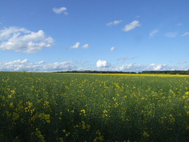
Chapel End is also known for its scenic walking trails and natural beauty. The village is surrounded by rolling hills and lush green fields, providing ample opportunities for outdoor enthusiasts to explore the countryside. The nearby River Great Ouse offers additional recreational activities such as fishing and boating.
While Chapel End is primarily a residential area, there are a few local amenities to cater to the needs of its residents. These include a village hall, a small convenience store, and a primary school. For more extensive shopping and entertainment options, residents often travel to nearby towns such as Bedford or Milton Keynes.
Overall, Chapel End is a peaceful and idyllic village that offers a tranquil escape from the hustle and bustle of city life. Its rich history, natural beauty, and strong sense of community make it a desirable place to live or visit for those seeking a slower pace of life.
If you have any feedback on the listing, please let us know in the comments section below.
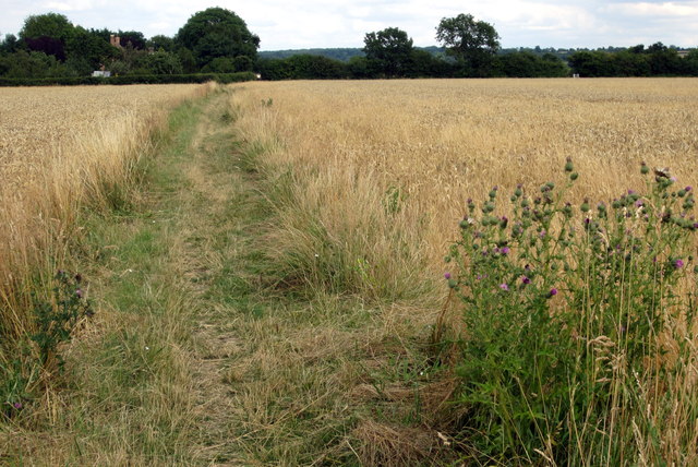
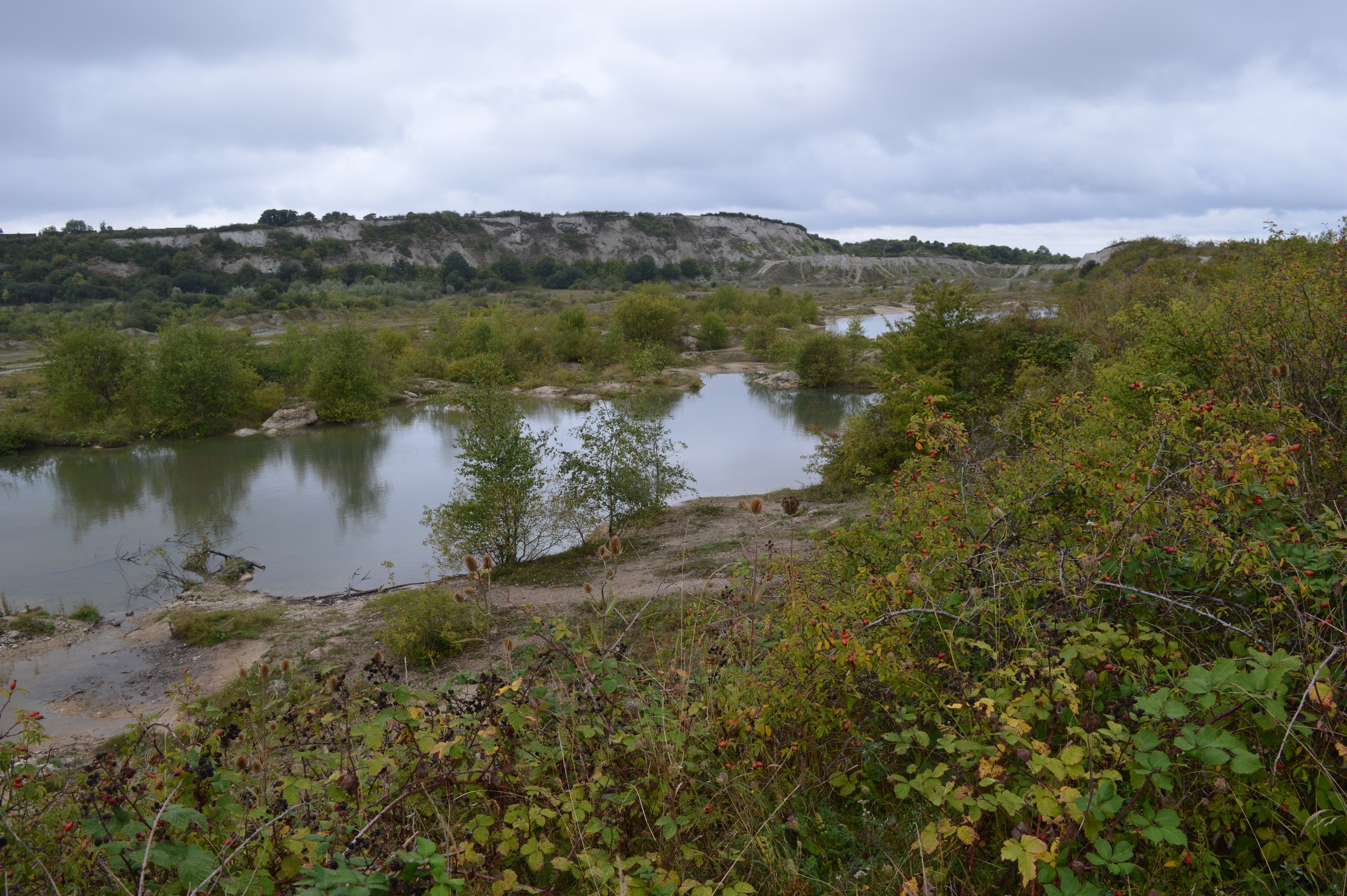
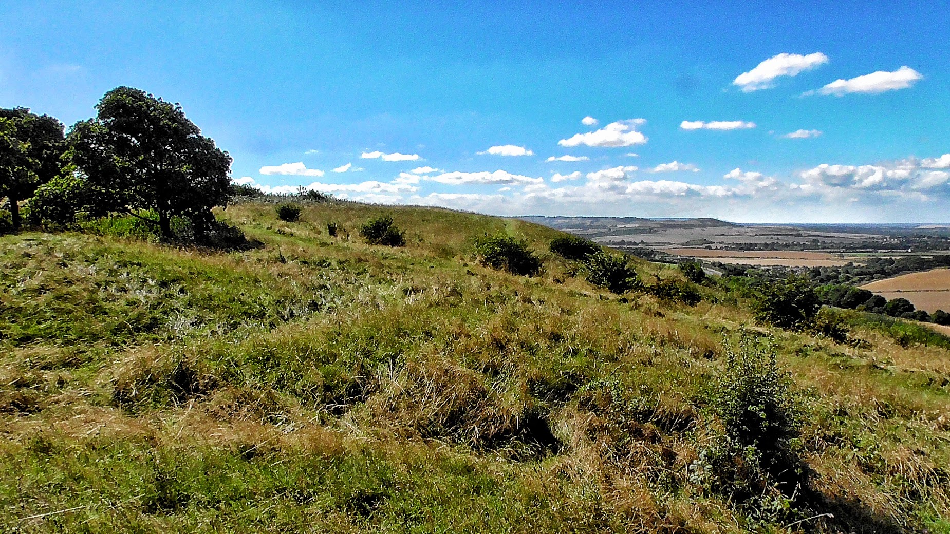
Chapel End Images
Images are sourced within 2km of 52.085545/-0.42586283 or Grid Reference TL0744. Thanks to Geograph Open Source API. All images are credited.


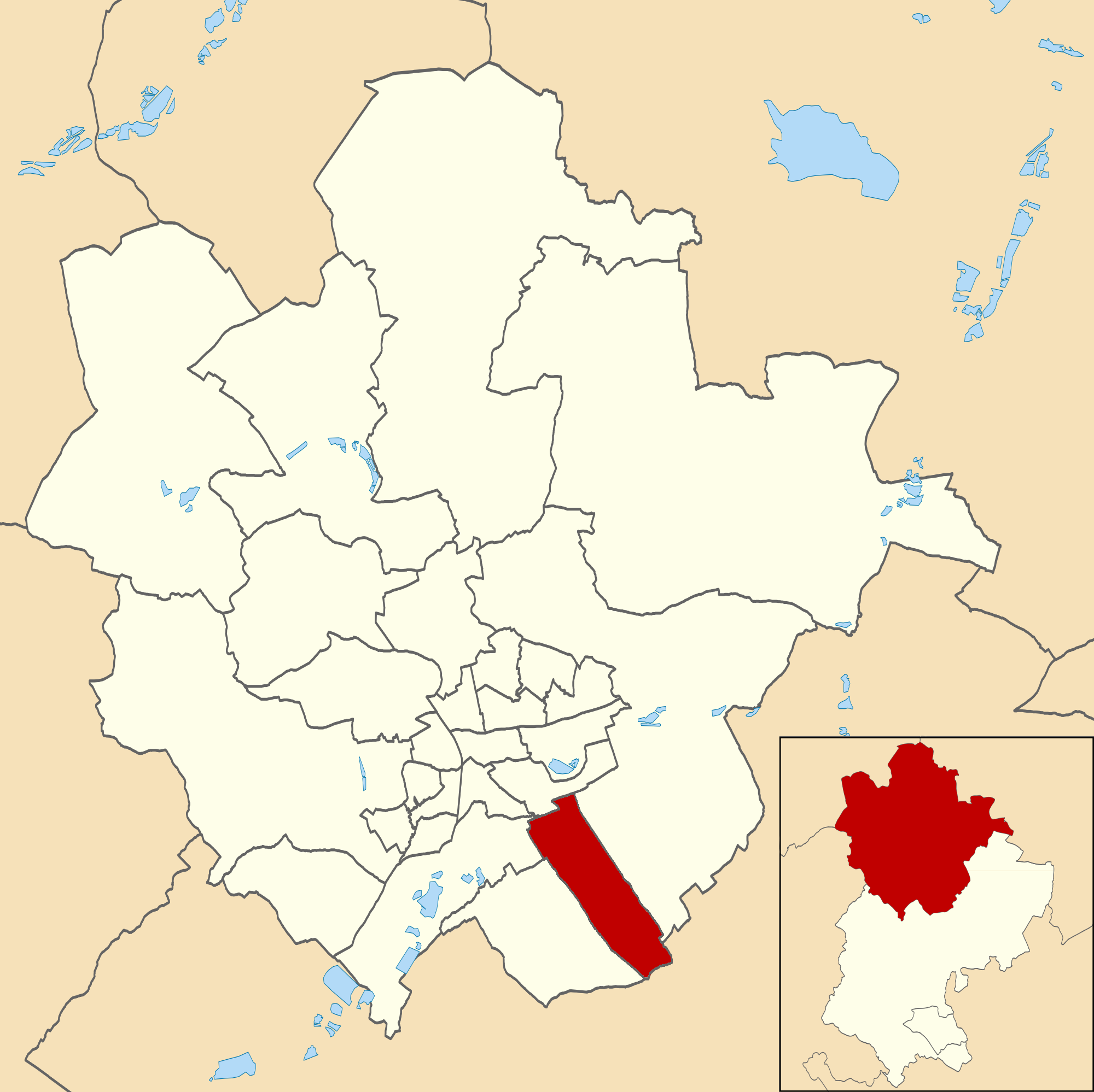
Chapel End is located at Grid Ref: TL0744 (Lat: 52.085545, Lng: -0.42586283)
Unitary Authority: Bedford
Police Authority: Bedfordshire
What 3 Words
///units.grain.panic. Near Wilstead, Bedfordshire
Nearby Locations
Related Wikis

Herrings Green
Herrings Green is a hamlet in the civil parish of Cotton End, on the outskirts of Bedford, in the Bedford district, in the ceremonial county of Bedfordshire...
List of Sites of Special Scientific Interest in Bedfordshire
Bedfordshire is a county in the East of England. It is bounded by Hertfordshire to the south-east, Cambridgeshire to the north-east, Northamptonshire to...
Bedfordshire
Bedfordshire (; abbreviated Beds) is a ceremonial and historic county in the East of England. It is bordered by Northamptonshire to the north, Cambridgeshire...

List of local nature reserves in Bedfordshire
Bedfordshire is a county in the East of England. It is bounded by Hertfordshire to the south-east, Cambridgeshire to the north-east, Northamptonshire to...
Eastcotts
Eastcotts is an electoral ward within the Borough of Bedford, in the ceremonial county of Bedfordshire, England. It was formerly also a civil parish until...

Cotton End
Cotton End is a small village and civil parish on the outskirts of Bedford. It became its own parish as of 1 April 2019, having previously been part of...
Eastcotts Castle
Eastcotts Castle was a medieval castle located in the parish of Eastcotts, at the edge of Exeter Wood, in the county of Bedfordshire, England. Eastcotts...

Wilstead
Wilstead is a village and civil parish in Bedfordshire, England, just off the A6 Bedford to Luton road, about five miles south of Bedford town centre,...
Nearby Amenities
Located within 500m of 52.085545,-0.42586283Have you been to Chapel End?
Leave your review of Chapel End below (or comments, questions and feedback).