Casmael

Settlement in Pembrokeshire

Wales

Casmael

Footpath southeast of Puncheston/Casmael A straight, slightly raised PROW, with a hard surface beneath the grass, between overgrown hedges leads downhill towards a ford and bridge across the Afon Anghof on the edge of the village. The stone set on the edge of the lane's end (left of the dog) appears to be some sort of marker, possibly connected with the long-dismantled railway line that ran NE-SW close to this point. See <span class="nowrap"><a title="http://www.disused-stations.org.uk/p/puncheston/index.shtml" rel="nofollow ugc noopener" href="http://www.disused-stations.org.uk/p/puncheston/index.shtml">Link</a><img style="margin-left:2px;" alt="External link" title="External link - shift click to open in new window" src="https://s1.geograph.org.uk/img/external.png" width="10" height="10"/></span>
Footpath southeast of Puncheston/Casmael Credit: Natasha Ceridwen de Chroustchoff

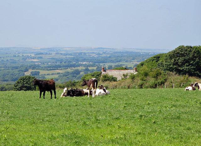
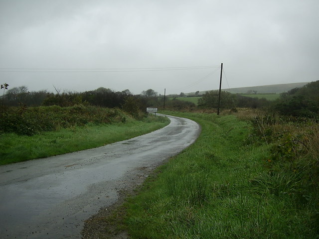
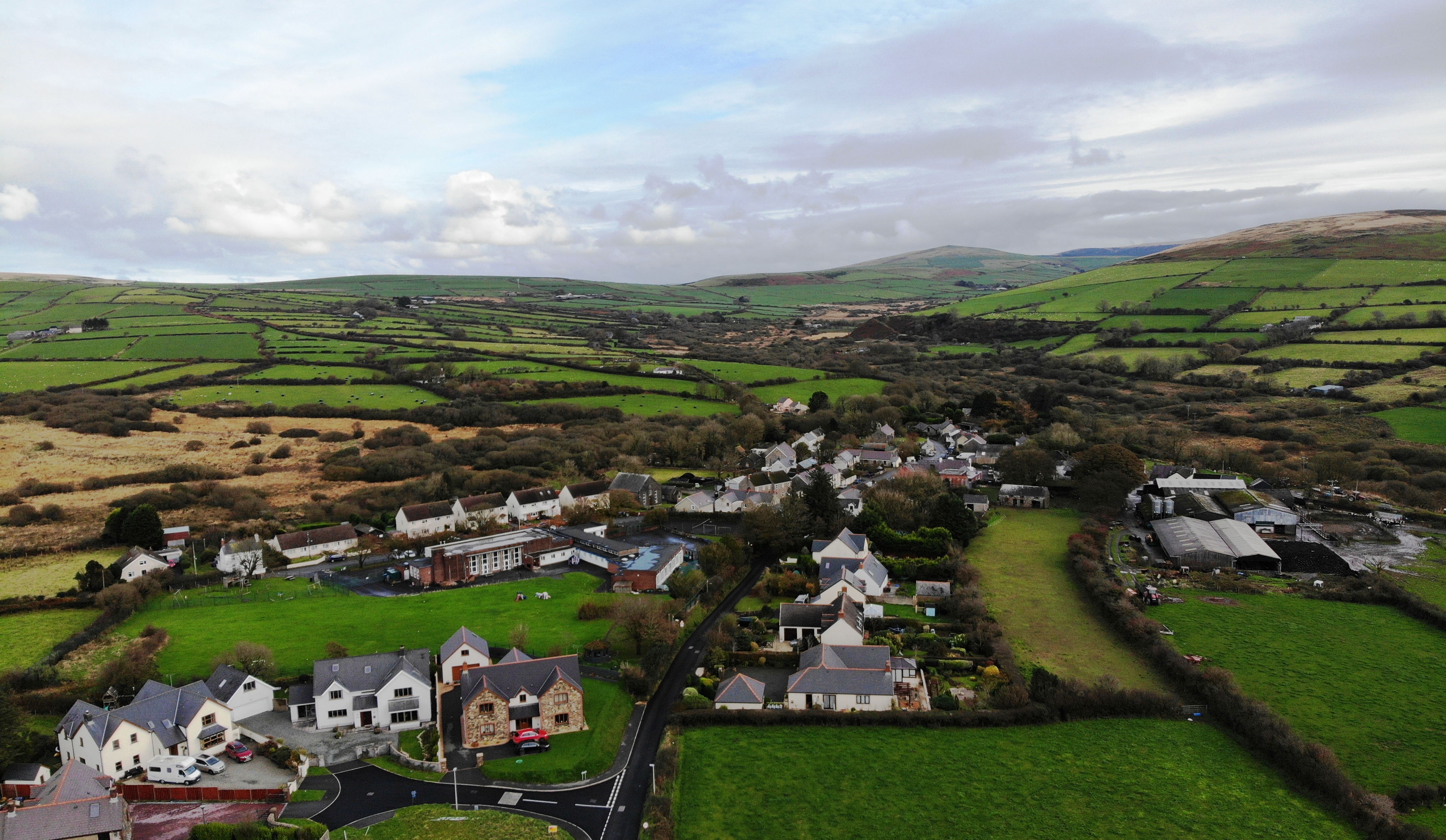
Casmael is a small coastal village located in the county of Pembrokeshire, Wales. Nestled along the western edge of the country, this picturesque hamlet is situated on the Pembrokeshire Coast National Park, renowned for its stunning natural beauty and diverse wildlife.

With a population of just over 200 residents, Casmael offers a tranquil and idyllic atmosphere, making it a popular destination for those seeking a peaceful retreat. The village is characterized by its charming traditional Welsh cottages, many of which boast breathtaking views of the nearby rugged cliffs and the scenic Irish Sea.

Nature enthusiasts are drawn to Casmael for its abundance of outdoor activities. The village serves as a gateway to the renowned Pembrokeshire Coast Path, a long-distance hiking trail that stretches for 186 miles. Visitors can explore the dramatic coastline, with its towering cliffs, hidden coves, and sandy beaches.

Casmael is also a haven for wildlife enthusiasts, as the Pembrokeshire Coast National Park is home to a rich variety of flora and fauna. Birdwatchers can spot a wide range of species, including puffins, guillemots, and razorbills, while seals can often be seen basking on the rocks or swimming in the crystal-clear waters.

Although Casmael is primarily a rural village, it is conveniently located within a short driving distance of larger towns such as Fishguard and St. Davids, where visitors can find a wider range of amenities, including shops, restaurants, and accommodations.

In summary, Casmael is a charming coastal village in Pembrokeshire, Wales, offering a peaceful and scenic retreat for nature lovers and those seeking respite from the bustling city life.

If you have any feedback on the listing, please let us know in the comments section below.
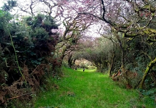
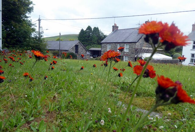
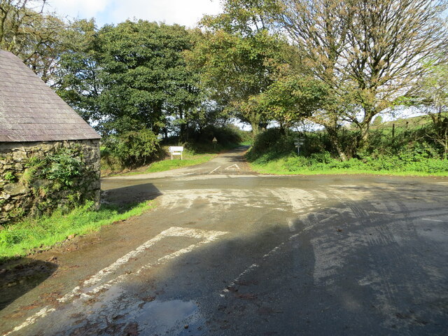
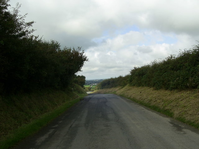
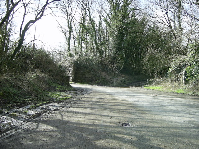
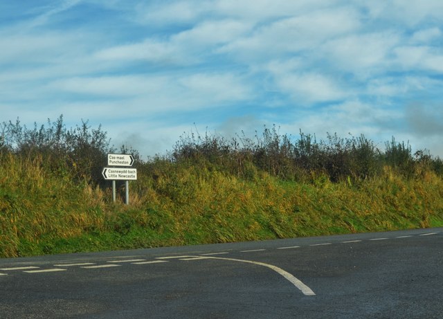
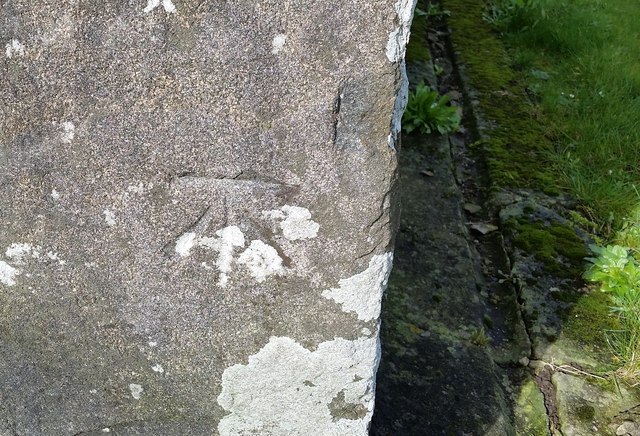
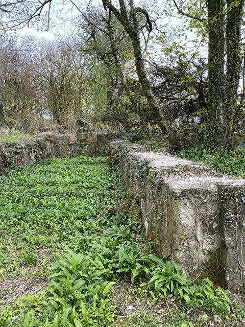
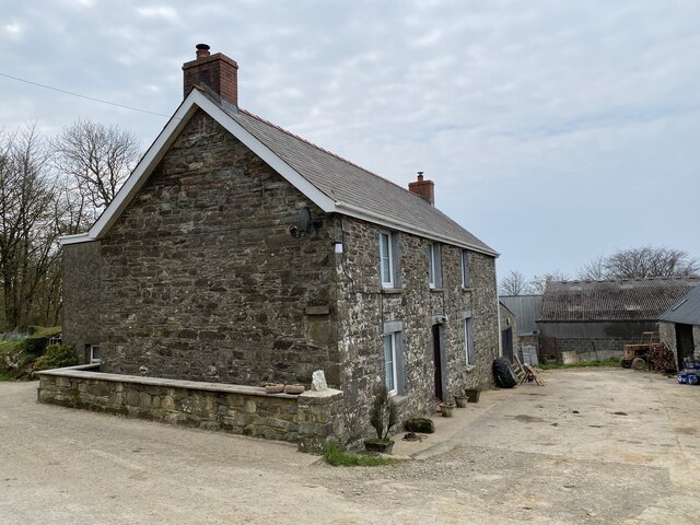
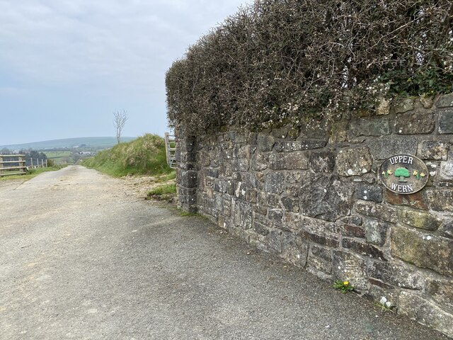
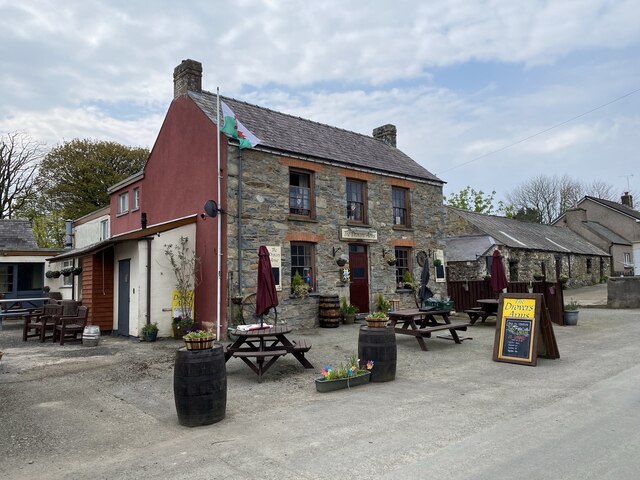
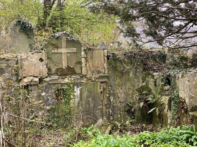
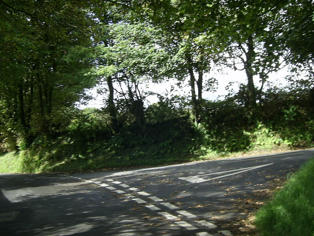
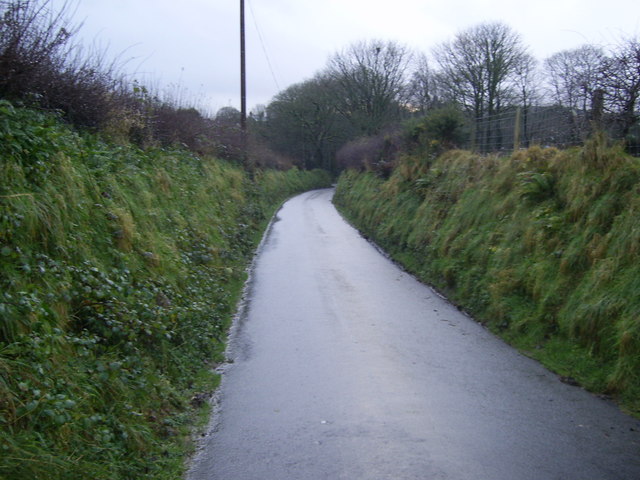
Casmael Images

Images are sourced within 2km of 51.930204/-4.900018 or Grid Reference SN0029. Thanks to Geograph Open Source API. All images are credited.

Footpath southeast of Puncheston/Casmael A straight, slightly raised PROW, with a hard surface beneath the grass, between overgrown hedges leads downhill towards a ford and bridge across the Afon Anghof on the edge of the village. The stone set on the edge of the lane's end (left of the dog) appears to be some sort of marker, possibly connected with the long-dismantled railway line that ran NE-SW close to this point. See <span class="nowrap"><a title="http://www.disused-stations.org.uk/p/puncheston/index.shtml" rel="nofollow ugc noopener" href="http://www.disused-stations.org.uk/p/puncheston/index.shtml">Link</a><img style="margin-left:2px;" alt="External link" title="External link - shift click to open in new window" src="https://s1.geograph.org.uk/img/external.png" width="10" height="10"/></span>
Footpath southeast of Puncheston/Casmael
A straight, slightly raised PROW, with a hard surface beneath the grass, between overgrown hedges leads downhill towards a ford and bridge across the Afon Anghof on the edge of the village. The stone set on the edge of the lane's end (left of the dog) appears to be some sort of marker, possibly connected with the long-dismantled railway line that ran NE-SW close to this point. See LinkExternal link
Fox-and-cubs in Casmael churchyard Pilosella aurantiaca, very often to be found growing in churchyards, cemeteries and other rough stony places with good drainage.
The name Fox-and-cubs refers to the way the open flowers and the buds are clustered together on the same stalk but it has a variety of other common names too.
Fox-and-cubs in Casmael churchyard
Pilosella aurantiaca, very often to be found growing in churchyards, cemeteries and other rough stony places with good drainage. The name Fox-and-cubs refers to the way the open flowers and the buds are clustered together on the same stalk but it has a variety of other common names too.
The crossing of minor roads at Castlebythe Farm Looking north-westward.
The crossing of minor roads at Castlebythe Farm
Looking north-westward.
Road to Little Newcastle View of the country road from Puncheston heading for Little Newcastle near the entrance to Greenland.
Road to Little Newcastle
View of the country road from Puncheston heading for Little Newcastle near the entrance to Greenland.
Former railway line and bridge near Puncheston Alongside the minor road south of Puncheston and the lane beyond the gates by the remains of the railway bridge, is the embankment lined by trees on either side of the former railway line east of Letterston which was part of the North Pembrokeshire and Fishguard railway.
A closer view of the disused railway bridge can be seen here <a href="https://www.geograph.org.uk/photo/472178">SM9928 : Dead railway bridge</a> , near Maesyafon.
Former railway line and bridge near Puncheston
Alongside the minor road south of Puncheston and the lane beyond the gates by the remains of the railway bridge, is the embankment lined by trees on either side of the former railway line east of Letterston which was part of the North Pembrokeshire and Fishguard railway. A closer view of the disused railway bridge can be seen here SM9928 : Dead railway bridge , near Maesyafon.
Nondescript Lane Junction But necessary for a geograph point!
Nondescript Lane Junction
But necessary for a geograph point!
Ordnance Survey Cut Mark This OS cut mark can be found on the west face of St Michael's Church. It marks a point 206.337m above mean sea level.
Ordnance Survey Cut Mark
This OS cut mark can be found on the west face of St Michael's Church. It marks a point 206.337m above mean sea level.
Ordnance Survey Cut Mark This OS cut mark can be found on a gatepost north side of the road. It marks a point 167.719m above mean sea level.
Ordnance Survey Cut Mark
This OS cut mark can be found on a gatepost north side of the road. It marks a point 167.719m above mean sea level.
Ordnance Survey Cut Mark This OS cut mark can be found on the SE face of St Mary's Church. It marks a point 156.954m above mean sea level.
Ordnance Survey Cut Mark
This OS cut mark can be found on the SE face of St Mary's Church. It marks a point 156.954m above mean sea level.
A ruined church The ruined church of St Michael, Castlebythe.

See also <a href="https://www.geograph.org.uk/photo/651373">SN0228 : Casfuwch/Castlebythe church</a> taken by Ceridwen 13 years ago.  The ground inside the church has been cleared of young trees and a mass of wild garlic will shortly be in flower.
A ruined church
The ruined church of St Michael, Castlebythe. See also SN0228 : Casfuwch/Castlebythe church taken by Ceridwen 13 years ago. The ground inside the church has been cleared of young trees and a mass of wild garlic will shortly be in flower.
Castlebythe Farm Farmhouse at Castlebythe Farm.
Castlebythe Farm
Farmhouse at Castlebythe Farm.
Farm entrance Entrance to Upper Wern Farm.
Farm entrance
Entrance to Upper Wern Farm.
The Drovers Arms Public house in Puncheston.
The Drovers Arms
Public house in Puncheston.
Ruined church Eastern wall above the altar at the ruined St Michael’s Church at Castlebythe.  See also <a href="https://www.geograph.org.uk/photo/6814516">SN0228 : A ruined church</a>.
Ruined church
Eastern wall above the altar at the ruined St Michael’s Church at Castlebythe. See also SN0228 : A ruined church.
Road junction near Puncheston The tree-lined road junction east of Puncheston is just within the grid square.
Road junction near Puncheston
The tree-lined road junction east of Puncheston is just within the grid square.
Minor road heading for Puncheston This short stretch of road near Puncheston is within the grid square.
Minor road heading for Puncheston
This short stretch of road near Puncheston is within the grid square.
Cow pasture near Castlebythe
Country Road near Castlebythe Common A view of a bend in the road heading for Castlebythe.
Country Road near Castlebythe Common
A view of a bend in the road heading for Castlebythe.
Show me another place!

Casmael is located at Grid Ref: SN0029 (Lat: 51.930204, Lng: -4.900018)

Unitary Authority: Pembrokeshire

Police Authority: Dyfed Powys

Also known as: Puncheston

What 3 Words

///star.bulldozer.lions. Near Ambleston, Pembrokeshire

Related Wikis

Puncheston

Puncheston (Welsh: Cas-mael or Casmael) is a village, parish and community in Pembrokeshire, southwest Wales. It sits below the mountain known as Castlebythe...

Castlebythe Halt railway station

Castlebythe Halt railway station served the village of Puncheston, Pembrokeshire, Wales, from 1928 to 1937 on the North Pembrokeshire and Fishguard Railway...

Waun Fawr, Puncheston

Waun Fawr, Puncheston is a Site of Special Scientific Interest (or SSSI) in Pembrokeshire, South Wales. It has been designated as a Site of Special Scientific...

Puncheston railway station

Puncheston railway station served the village of Puncheston, Pembrokeshire, Wales, from 1895 to 1949 on the North Pembrokeshire and Fishguard Railway....

Martell Bridge Halt railway station

Martell Bridge Halt railway station served the village of Little Newcastle, Pembrokeshire, Wales, from 1930 to 1937 on the North Pembrokeshire and Fishguard...

Castlebythe

Castlebythe (Welsh: Cas-fuwch) is a village and parish in Pembrokeshire, Wales, on the southern slopes of the Preseli Hills, 10 km south-east of Fishguard...

Colston, Pembrokeshire

Colston is a hamlet in the community of Puncheston in Pembrokeshire, Wales. The hamlet is the site of a Neolithic chambered tomb, known as The Altar....

Casnewydd Bach

Casnewydd Bach (English: Little Newcastle) is a village, parish and former civil parish in the community of Puncheston in Pembrokeshire, Wales. A map of...

Nearby Amenities

Located within 500m of 51.930204,-4.900018
Casmael / Puncheston
Alt Name Cy: Cas-mael
Is In: Pembrokeshire,Wales,UK
Name Cy: Casmael
Name En: Puncheston
Place: village
Wikidata: Q7259990
Wikipedia: en:Puncheston
Lat/Long: 51.9302009/-4.9000667
Note: Adjusted to surveyed point where stream passes beneath road
Lat/Long: 51.9267792/-4.8979397
Post Box
Lat/Long: 51.9303516/-4.9003413
Give Way
Direction: forward
Lat/Long: 51.932152/-4.896311
Give Way
Direction: backward
Lat/Long: 51.9302724/-4.8988671
Give Way
Direction: forward
Lat/Long: 51.930244/-4.90011
Bench
Lat/Long: 51.9301815/-4.9003582
Bench
Lat/Long: 51.9302652/-4.9003391
Fixme: More details needed.
Historic: memorial
Memorial: stone
Lat/Long: 51.93023/-4.9004127
Description: Ornamental pump. May have functioned in the past.
Disused: yes
Drinking Water: no
Image: https://www.geograph.org.uk/photo/1069664
Man Made: water_well
Pump: manual
Pump Status: out_of_order
Lat/Long: 51.9303843/-4.9003502
Advertising: board
Lit: no
Support: poles
Lat/Long: 51.9303633/-4.9003451
Advertising: board
Lit: no
Operator: St Mary's Church
Support: poles
Lat/Long: 51.9305063/-4.8983581
Leisure: picnic_table
Lat/Long: 51.9301875/-4.8994383
Leisure: picnic_table
Lat/Long: 51.9301918/-4.8993589
Restaurant
Operator: The Drovers Arms
Lat/Long: 51.9300208/-4.8991512
Direction: 165
Generator Method: photovoltaic
Generator Output Electricity: yes
Generator Solar Modules: 16
Generator Source: solar
Generator Type: solar_photovoltaic_panel
Location: roof
Power: generator
Lat/Long: 51.9304429/-4.8991724
Ford: yes
Lat/Long: 51.9308156/-4.8950928
The data included in this document is from www.openstreetmap.org. The data is made available under ODbL.

Have you been to Casmael?

Leave your review of Casmael below (or comments, questions and feedback).