Castell-newydd-bach

Settlement in Pembrokeshire

Wales

Castell-newydd-bach

Road to Little Newcastle View of the country road from Puncheston heading for Little Newcastle near the entrance to Greenland.
Road to Little Newcastle Credit: Martyn Harries

Castell-newydd-bach is a small village located in the county of Pembrokeshire, Wales. Situated on the western coast of the country, it lies approximately 10 miles northwest of the county town of Haverfordwest. With a population of around 500 residents, it boasts a quaint and picturesque setting that is rich in natural beauty.

The village is surrounded by rolling hills and farmland, offering stunning views of the countryside. The nearby coast provides access to beautiful sandy beaches and rugged cliffs, making it a popular destination for outdoor enthusiasts and nature lovers. The Pembrokeshire Coast National Park, which is designated as a protected area, is easily accessible from Castell-newydd-bach, providing ample opportunities for hiking, cycling, and birdwatching.

In terms of amenities, the village features a small convenience store, a primary school, and a local pub, which serves as a hub for social gatherings and community events. For more extensive shopping and entertainment options, residents can visit Haverfordwest, where a wider range of facilities can be found.

Castell-newydd-bach has a rich history, with its name translating to "little new castle" in Welsh. The village is believed to have been established during the medieval period, and remnants of a small castle can still be seen today. The area has also been inhabited since prehistoric times, as evidenced by the presence of burial mounds and ancient stone structures.

Overall, Castell-newydd-bach offers a tranquil and idyllic setting, making it an attractive place to live or visit for those seeking a peaceful retreat amidst the natural beauty of Pembrokeshire.

If you have any feedback on the listing, please let us know in the comments section below.

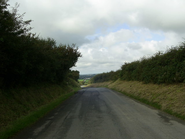
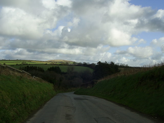
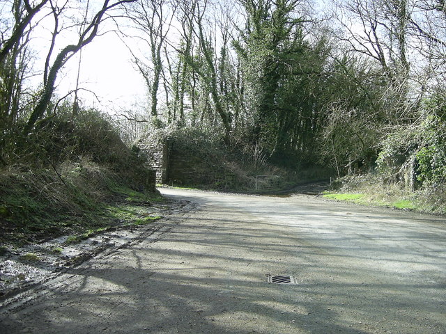
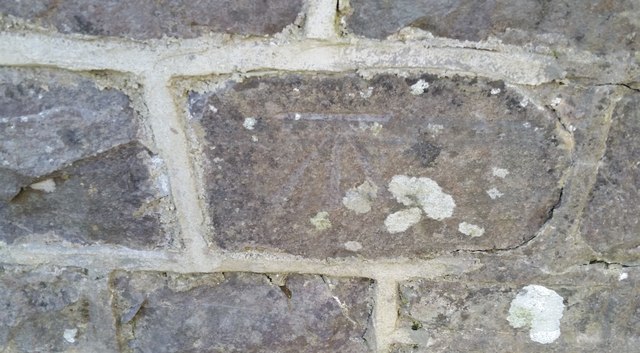
Castell-newydd-bach Images

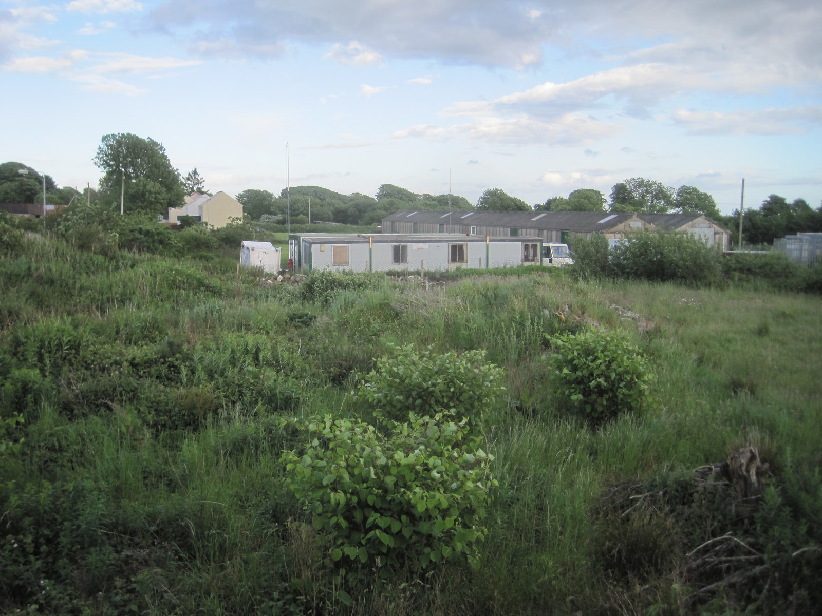
Images are sourced within 2km of 51.92261/-4.9396302 or Grid Reference SM9728. Thanks to Geograph Open Source API. All images are credited.

Road to Little Newcastle View of the country road from Puncheston heading for Little Newcastle near the entrance to Greenland.
Road to Little Newcastle
View of the country road from Puncheston heading for Little Newcastle near the entrance to Greenland.
Passing place on a single track road A wide passing place for cars, lorries and tractors along the minor road heading for Letterston from Little Newcastle between Ffynnon-Bedr and Bwlchrhos.
Passing place on a single track road
A wide passing place for cars, lorries and tractors along the minor road heading for Letterston from Little Newcastle between Ffynnon-Bedr and Bwlchrhos.
Track to the fields, near Little Newcastle The view of a short track to three fields is taken from the road between Little Newcastle and Letterston.
Track to the fields, near Little Newcastle
The view of a short track to three fields is taken from the road between Little Newcastle and Letterston.
Bend in the road near Little Newcastle A bend in the road towards Glanrhyd, east of Little Newcastle.
Bend in the road near Little Newcastle
A bend in the road towards Glanrhyd, east of Little Newcastle.
Tree-lined country road Tree-lined country road to Rinaston by the entrance to New House Farm.
Tree-lined country road
Tree-lined country road to Rinaston by the entrance to New House Farm.
Former railway line and bridge near Puncheston Alongside the minor road south of Puncheston and the lane beyond the gates by the remains of the railway bridge, is the embankment lined by trees on either side of the former railway line east of Letterston which was part of the North Pembrokeshire and Fishguard railway.
A closer view of the disused railway bridge can be seen here <a href="https://www.geograph.org.uk/photo/472178">SM9928 : Dead railway bridge</a> , near Maesyafon.
Former railway line and bridge near Puncheston
Alongside the minor road south of Puncheston and the lane beyond the gates by the remains of the railway bridge, is the embankment lined by trees on either side of the former railway line east of Letterston which was part of the North Pembrokeshire and Fishguard railway. A closer view of the disused railway bridge can be seen here SM9928 : Dead railway bridge , near Maesyafon.
St Dogwells Parish Church
St Dogwells Church The complete building, viewed from the southeast.
St Dogwells Church
The complete building, viewed from the southeast.
Former Garage, Little Newcastle View of the disused garage, old fuel pump and oil drum at Little Newcastle from the road heading for Puncheston.
Former Garage, Little Newcastle
View of the disused garage, old fuel pump and oil drum at Little Newcastle from the road heading for Puncheston.
Lane From Spittal To Puncheston and Little Newcastle
Lane From Spittal
To Puncheston and Little Newcastle
Y Bont (The Bridge) Small bridge approaching Martel Bridge which was part of the railway infrastructure, now gone
Y Bont (The Bridge)
Small bridge approaching Martel Bridge which was part of the railway infrastructure, now gone
Lane To Puncheston Mynydd Morvil shrouded in mist
Lane To Puncheston
Mynydd Morvil shrouded in mist
Glanrhyd On the road to Little Newcastle
Glanrhyd
On the road to Little Newcastle
The Swan Little Newcastle village
The Swan
Little Newcastle village
Leaving Little Newcastle Cottages at the village's edge
Leaving Little Newcastle
Cottages at the village's edge
Lane Out Of Little Newcastle Cute cottages and ugly modern boxes
Lane Out Of Little Newcastle
Cute cottages and ugly modern boxes
A Yarn Bomber Pillar Near Little Newcastle The traffic reflector in the country lane was adorned with a cheery, knitted yarn bomb cover!
A Yarn Bomber Pillar Near Little Newcastle
The traffic reflector in the country lane was adorned with a cheery, knitted yarn bomb cover!
Ordnance Survey Cut Mark This OS cut mark can be found on the south parapet of the bridge over the Afon Clan Rhyd. It marks a point 98.761m above mean sea level.
Ordnance Survey Cut Mark
This OS cut mark can be found on the south parapet of the bridge over the Afon Clan Rhyd. It marks a point 98.761m above mean sea level.
Show me another place!

Castell-newydd-bach is located at Grid Ref: SM9728 (Lat: 51.92261, Lng: -4.9396302)

Unitary Authority: Pembrokeshire

Police Authority: Dyfed Powys

Also known as: Little Newcastle

What 3 Words

///jogging.surveyors.asterisk. Near Letterston, Pembrokeshire

Related Wikis

Nearby Amenities

Located within 500m of 51.92261,-4.9396302
Casnewydd-Bach / Little Newcastle
Alt Name Cy: Castell-Newydd-Bach
Name Cy: Casnewydd-Bach
Name En: Little Newcastle
Place: village
Wikidata: Q13126879
Wikipedia: en:Casnewydd Bach
Lat/Long: 51.922344/-4.9388628
Give Way
Direction: forward
Lat/Long: 51.9226064/-4.9396715
Give Way
Direction: forward
Lat/Long: 51.9227383/-4.9384323
Give Way
Direction: backward
Lat/Long: 51.9230207/-4.9378431
Give Way
Direction: backward
Lat/Long: 51.9221352/-4.938461
Barti Ddu / Black Bart
Description: Plaque on small standing stone commemorating the pirate Black Bart (Bartholomew Roberts).
Direction: 350
Historic: memorial
Inscription: CASNEWYDD BACH Yn y pentref yma y ganed BARTI DDU y môr-leidr enwog. (1682-1722) In this village the famous pirate Black Bart was born.
Memorial: plaque
Name Cy: Barti Ddu
Name En: Black Bart
Subject Wikidata: Q313430
Subject Wikipedia: en:Bartholomew Roberts
Wikimedia Commons: File:Bart Roberts.jpg
Lat/Long: 51.9225766/-4.9389359
War Memorial
Historic: memorial
Image: https://www.geograph.org.uk/photo/6261496
Memorial: war_memorial
Lat/Long: 51.9221475/-4.9389914
Natural: shrub
Lat/Long: 51.9229084/-4.9379108
Natural: shrub
Lat/Long: 51.9229193/-4.9378724
Bbq
Access: customers
Covered: no
Lat/Long: 51.9232129/-4.9375657
Power: pole
Lat/Long: 51.9208187/-4.9345806
Power: pole
Lat/Long: 51.9219336/-4.9353531
Power: pole
Lat/Long: 51.9226813/-4.9358681
Power: pole
Lat/Long: 51.9230039/-4.9361095
Power: pole
Lat/Long: 51.9243967/-4.9370429
Power: pole
Lat/Long: 51.9254851/-4.9377859
Public Bookcase
Booth: K6
Disused Amenity: telephone
Listed Status: Grade II
Man Made: telephone_box
Public Bookcase Type: phone_box
Lat/Long: 51.9225339/-4.938367
Post Box
Post Box Type: lamp
Royal Cypher: EIIR
Royal Cypher Wikidata: Q33102113
Lat/Long: 51.9225505/-4.9383978
The data included in this document is from www.openstreetmap.org. The data is made available under ODbL.

Have you been to Castell-newydd-bach?

Leave your review of Castell-newydd-bach below (or comments, questions and feedback).