Carmountside

Settlement in Staffordshire

England

Carmountside

Carmountside Cemetery The Memorial Gardens at Carmountside Cemetery, Stoke on Trent where cremated ashes are spread.
Carmountside Cemetery Credit: Phil Eptlett

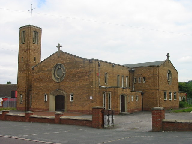
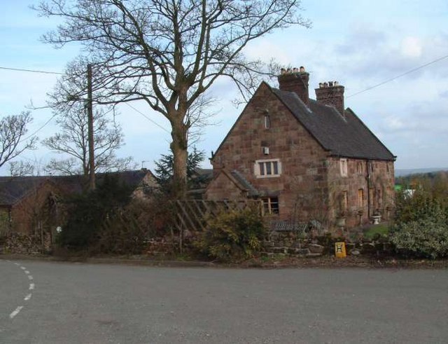
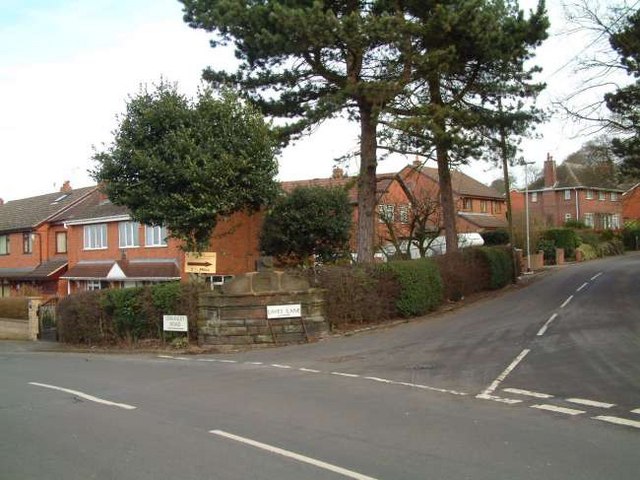
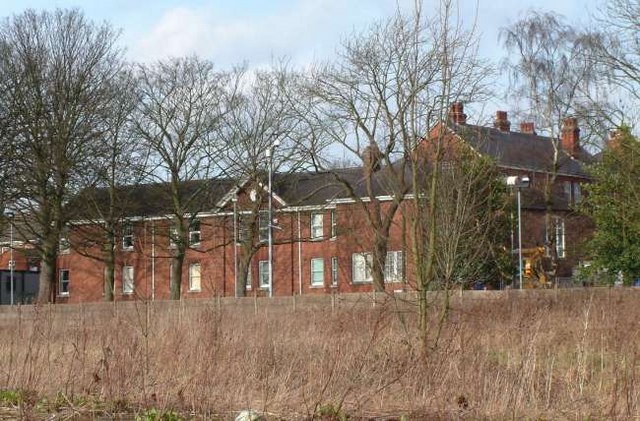
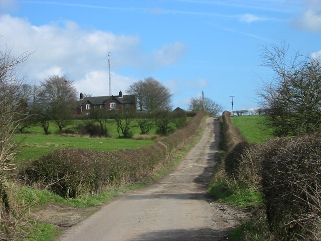
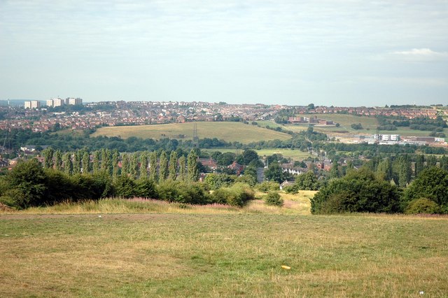
Carmountside is a suburb located in the city of Stoke-on-Trent, Staffordshire, England. Situated on the southern outskirts of the city, it is known for its picturesque landscapes and tranquil surroundings. The area is primarily residential, characterized by a mix of housing types ranging from detached houses to semi-detached and terraced properties.

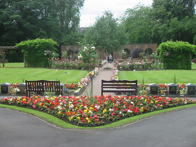
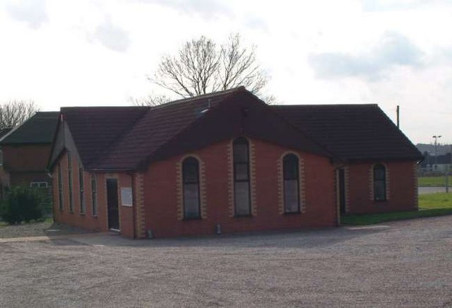
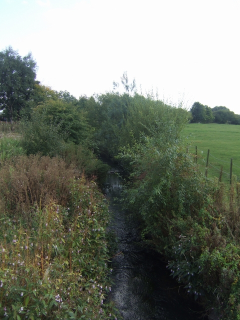
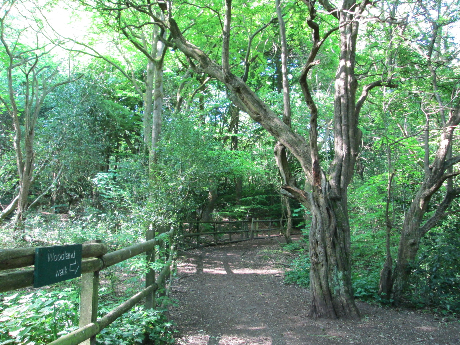
One of the standout features of Carmountside is its close proximity to nature. The suburb is bordered by beautiful green spaces, including the Carmountside Crematorium and Cemetery, which is surrounded by extensive gardens and offers a peaceful place for reflection. Additionally, the area is home to Carmountside Lawn Tennis Club, providing residents with the opportunity to engage in recreational activities.

Carmountside is well-connected to the rest of the city and nearby towns through a comprehensive road network. The A500 dual carriageway runs nearby, granting easy access to Stoke-on-Trent city center and other major destinations. The suburb also benefits from excellent public transport links, with regular bus services connecting it to the wider area.

Residents of Carmountside enjoy a range of amenities and services within close proximity. The nearby Longton town center provides a variety of shops, supermarkets, and restaurants, ensuring convenient access to everyday necessities. Additionally, several schools and educational institutions are located in the vicinity, making it an appealing area for families with children.

Overall, Carmountside offers a peaceful residential environment with a touch of natural beauty, while still providing easy access to urban amenities and transport links.

If you have any feedback on the listing, please let us know in the comments section below.
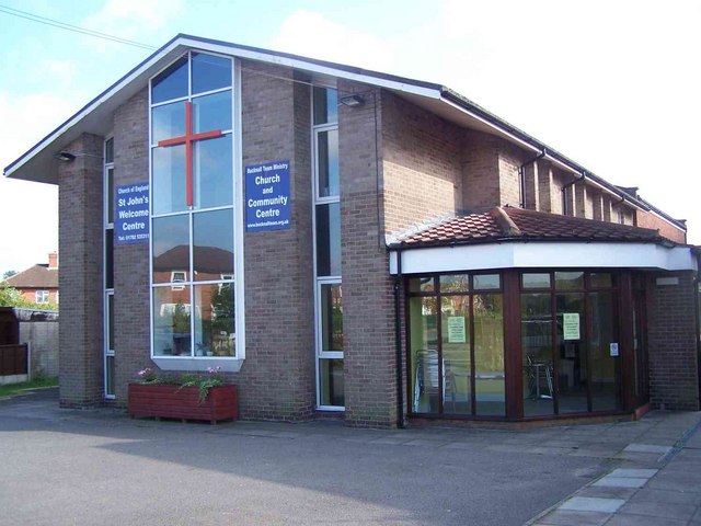
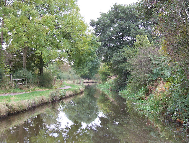
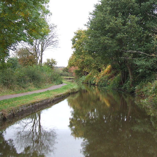
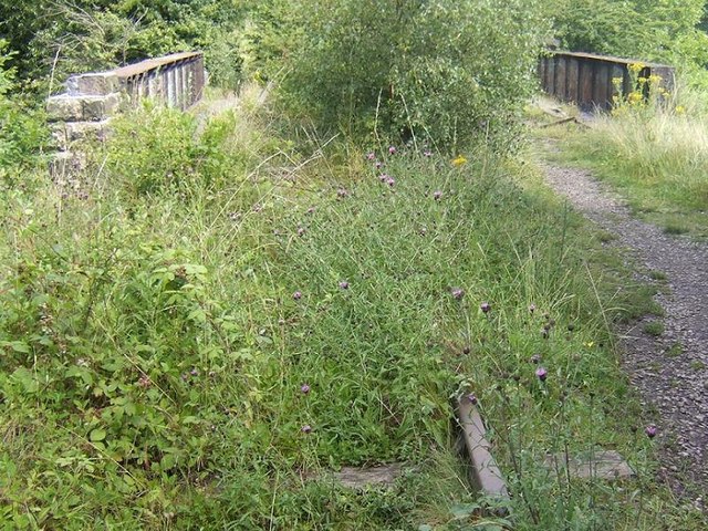
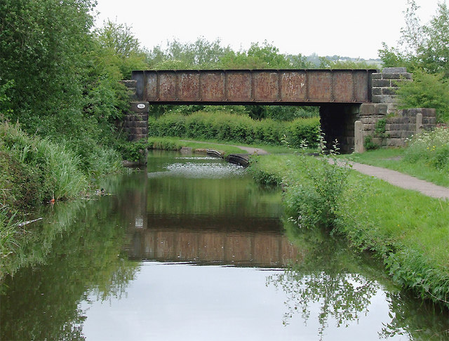
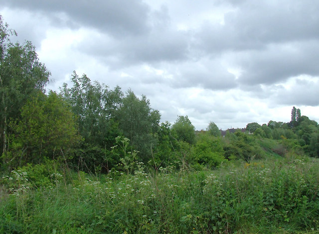
Carmountside Images

Images are sourced within 2km of 53.043461/-2.1392239 or Grid Reference SJ9049. Thanks to Geograph Open Source API. All images are credited.

Carmountside Cemetery The Memorial Gardens at Carmountside Cemetery, Stoke on Trent where cremated ashes are spread.
Carmountside Cemetery
The Memorial Gardens at Carmountside Cemetery, Stoke on Trent where cremated ashes are spread.
St Benedict, RC Church, Abbey Hulton
Greenfields Farm, Kerry Hill On Jack Hayes Lane near to the junction with Eaves Lane at Kerry Hill, Stoke-on-Trent
Greenfields Farm, Kerry Hill
On Jack Hayes Lane near to the junction with Eaves Lane at Kerry Hill, Stoke-on-Trent
Housing at Eaves Lane, Abbey Hulton Corner of Eaves Lane (to the right) and Greasely Road.
Housing at Eaves Lane, Abbey Hulton
Corner of Eaves Lane (to the right) and Greasely Road.
Bucknall Hospital Specialised hospitals like Bucknall Hospital, run by the local authorities, were opening to treat infectious diseases, and to prevent the spread of the disease by isolating infected patients.
Bucknall Hospital
Specialised hospitals like Bucknall Hospital, run by the local authorities, were opening to treat infectious diseases, and to prevent the spread of the disease by isolating infected patients.
Bucknall Pentecostal Church Assemblies of God Church on Eaves Lane, Bucknall.
Bucknall Pentecostal Church
Assemblies of God Church on Eaves Lane, Bucknall.
Woodhead Farm Woodhead Road, Abbey Hulton, Stoke on Trent, showing the farm and communications mast behind.
Woodhead Farm
Woodhead Road, Abbey Hulton, Stoke on Trent, showing the farm and communications mast behind.
View Across to Birches Head Taken from the land behind the Crematorium next to Woodhead Lane
View Across to Birches Head
Taken from the land behind the Crematorium next to Woodhead Lane
Abbey Hulton, St. John
Caldon Canal, Abbey Hulton, Staffordshire
Railway Bridge over the Caldon Canal The line from Stoke was originally part of the North Staffordshire Railway network, established in the 1840s. The line carried its last traffic, limestone from Caldon Low, in 1989. It is officially "mothballed", which is why the tracks are still in place. Various proposals to reopen the line have come and gone but there is still the possibility that the line will be resurrected, some day.
Railway Bridge over the Caldon Canal
The line from Stoke was originally part of the North Staffordshire Railway network, established in the 1840s. The line carried its last traffic, limestone from Caldon Low, in 1989. It is officially "mothballed", which is why the tracks are still in place. Various proposals to reopen the line have come and gone but there is still the possibility that the line will be resurrected, some day.
River Trent downstream of Abbey Farm The waft of sewage treatment hangs in the air. The river has entered the Waterside Park. The City Council is making an attempt to make something of the river from which the city takes its name.
River Trent downstream of Abbey Farm
The waft of sewage treatment hangs in the air. The river has entered the Waterside Park. The City Council is making an attempt to make something of the river from which the city takes its name.
Bucknall Methodist Church Situated Werrington Road (A52 running west to east), Bucknall, Stoke-on-Trent, Staffordshire. ST2 9AS
Bucknall Methodist Church
Situated Werrington Road (A52 running west to east), Bucknall, Stoke-on-Trent, Staffordshire. ST2 9AS
Bucknall Methodist Church Situated Werrington Road (A52 running west to east), Bucknall, Stoke-on-Trent, Staffordshire. ST2 9AS
Bucknall Methodist Church
Situated Werrington Road (A52 running west to east), Bucknall, Stoke-on-Trent, Staffordshire. ST2 9AS
Caldon Canal north of Bucknall, Stoke-on-Trent Off to the right is the Trent Valley, with the river meandering about fifty metres away. Bridge No 14A carries a disused railway line, soon to be re-opened if the Moorland and City Railways Co succeed in their plans. It was part of the North Staffordshire Railway from Stoke towards Congleton, and a branch to Cauldon Low quarry. <span class="nowrap"><a title="http://www.mcrailways.co.uk/" rel="nofollow ugc noopener" href="http://www.mcrailways.co.uk/">Link</a><img style="margin-left:2px;" alt="External link" title="External link - shift click to open in new window" src="https://s1.geograph.org.uk/img/external.png" width="10" height="10"/></span>
Caldon Canal north of Bucknall, Stoke-on-Trent
Off to the right is the Trent Valley, with the river meandering about fifty metres away. Bridge No 14A carries a disused railway line, soon to be re-opened if the Moorland and City Railways Co succeed in their plans. It was part of the North Staffordshire Railway from Stoke towards Congleton, and a branch to Cauldon Low quarry. LinkExternal link
Bridge No 14A north of Bucknall, Stoke-on-Trent Off to the right is the Trent Valley, with the river meandering about fifty metres away. Bridge No 14A carries a disused railway line, soon to be re-opened if the Moorland and City Railways Co succeed in their plans. It was part of the North Staffordshire Railway from Stoke towards Congleton, and a branch to Cauldon Low quarry. <span class="nowrap"><a title="http://www.mcrailways.co.uk/" rel="nofollow ugc noopener" href="http://www.mcrailways.co.uk/">Link</a><img style="margin-left:2px;" alt="External link" title="External link - shift click to open in new window" src="https://s1.geograph.org.uk/img/external.png" width="10" height="10"/></span>
Bridge No 14A north of Bucknall, Stoke-on-Trent
Off to the right is the Trent Valley, with the river meandering about fifty metres away. Bridge No 14A carries a disused railway line, soon to be re-opened if the Moorland and City Railways Co succeed in their plans. It was part of the North Staffordshire Railway from Stoke towards Congleton, and a branch to Cauldon Low quarry. LinkExternal link
Course of disused railway near Bucknall, Stoke-on-Trent Seen from a narrowboat on the canal, this line, opened in 1849 and closed in 1988, still has the track in place on the embankment among the trees and other undergrowth. Re-opening soon from Stoke to Leek, and also Cauldon Low Quarry, is planned by the newly formed Moorland and City Railways Co. The eight mile section to the quarry is already in use.
Course of disused railway near Bucknall, Stoke-on-Trent
Seen from a narrowboat on the canal, this line, opened in 1849 and closed in 1988, still has the track in place on the embankment among the trees and other undergrowth. Re-opening soon from Stoke to Leek, and also Cauldon Low Quarry, is planned by the newly formed Moorland and City Railways Co. The eight mile section to the quarry is already in use.
Show me another place!

Carmountside is located at Grid Ref: SJ9049 (Lat: 53.043461, Lng: -2.1392239)

Unitary Authority: Stoke-on-Trent

Police Authority: Staffordshire

What 3 Words

///divide.spark.safe. Near Tunstall, Staffordshire

Nearby Locations

Carmountside

Related Wikis

Abbey Green ward

Abbey Green was an electoral ward of Stoke-on-Trent. The ward covered the areas of Baddeley Green, Milton and Abbey Hulton as well as Baddeley Edge and...

Ford Green Brook

Ford Green Brook flows through Staffordshire and the outlying areas of Stoke-on-Trent, England. It is the first named tributary stream of the River Trent...

Hulton Abbey

Hulton Abbey is a scheduled monument in the United Kingdom, a former monastery located in what is now Abbey Hulton, a suburb of Stoke-on-Trent. A daughter...

Bagnall Road Wood

Bagnall Road Wood is a local nature reserve near Milton, on the eastern fringe of Stoke-on-Trent, England. == History and description == The site was a...

Abbey Hulton United F.C.

Abbey Hulton United Football Club is a football club based in Abbey Hulton, in Stoke-on-Trent, England. They are currently members of the North West Counties...

Baddeley Edge

Baddeley Edge is a hamlet in the north of the city of Stoke-on-Trent, in the north of the county of Staffordshire. == Electoral Boundaries == It was formerly...

Milton, Staffordshire

Milton is an area of Stoke-on-Trent, in the county of Staffordshire, England. It is mainly situated between the A5009 and A53 roads. It shares its borders...

Birches Head Academy

Birches Head Academy (formerly Birches Head High School) is an 11–16 mixed, secondary school with academy status in Hanley, Stoke-on-Trent, Staffordshire...

Nearby Amenities

Located within 500m of 53.043461,-2.1392239
Crossing
Bicycle: yes
Crossing: traffic_signals
Crossing Ref: toucan
Kerb: lowered
Tactile Paving: yes
Lat/Long: 53.0398468/-2.1434109
Turning Circle
Lat/Long: 53.0400506/-2.1382415
Turning Circle
Lat/Long: 53.0398799/-2.1390229
Power: tower
Lat/Long: 53.039726/-2.1350948
Power: tower
Lat/Long: 53.0439799/-2.1461844
Power: tower
Lat/Long: 53.0449061/-2.146219
Crossing
Crossing: uncontrolled
Kerb: lowered
Tactile Paving: no
Lat/Long: 53.0404326/-2.141923
Milton Scout HQ
Addr Housenumber: 1800
Addr Street: Leek Road
Club: scout
Lat/Long: 53.0476594/-2.1394691
Hulton Abbey
Historic: ruins
Lat/Long: 53.0394857/-2.1425712
The data included in this document is from www.openstreetmap.org. The data is made available under ODbL.

Have you been to Carmountside?

Leave your review of Carmountside below (or comments, questions and feedback).