Carnhedryn Uchaf
Settlement in Pembrokeshire
Wales
Carnhedryn Uchaf
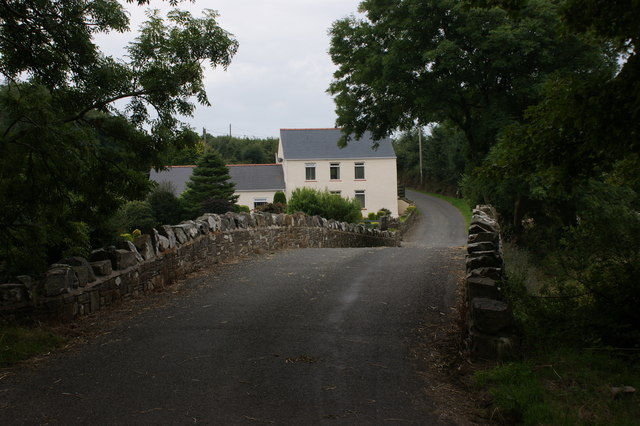
Carnhedryn Uchaf is a small village located in the county of Pembrokeshire, Wales. Situated in the southwestern part of the country, it is nestled within the stunning Pembrokeshire Coast National Park, which is renowned for its natural beauty and diverse wildlife.
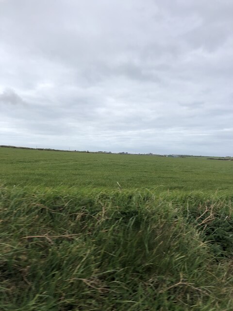
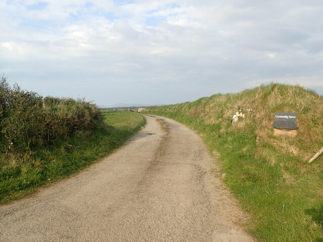
The village itself is characterized by its picturesque rural setting, with rolling hills, meandering country lanes, and panoramic views of the surrounding countryside. It is primarily a farming community, with a handful of traditional stone-built houses and farmsteads scattered across the landscape.
One of the notable features of Carnhedryn Uchaf is its proximity to the stunning coastline of Pembrokeshire. Just a short distance from the village lies the dramatic cliffs and golden sandy beaches that attract tourists and locals alike. The area is a haven for outdoor enthusiasts, offering opportunities for hiking, birdwatching, and water sports such as surfing and kayaking.
Carnhedryn Uchaf also benefits from its close proximity to a number of popular tourist attractions. Within a short drive, visitors can explore the charming town of St Davids, renowned for its magnificent cathedral and historic ruins. Additionally, the famous Pembrokeshire Coastal Path is easily accessible from the village, providing breathtaking walks and incredible views of the rugged coastline.
Overall, Carnhedryn Uchaf offers a tranquil and picturesque setting for residents and visitors alike, with its idyllic countryside, access to the stunning coastline, and proximity to popular tourist destinations.
If you have any feedback on the listing, please let us know in the comments section below.
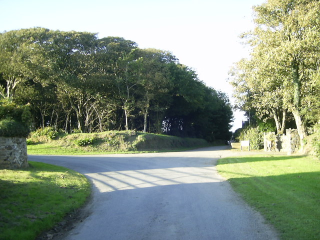
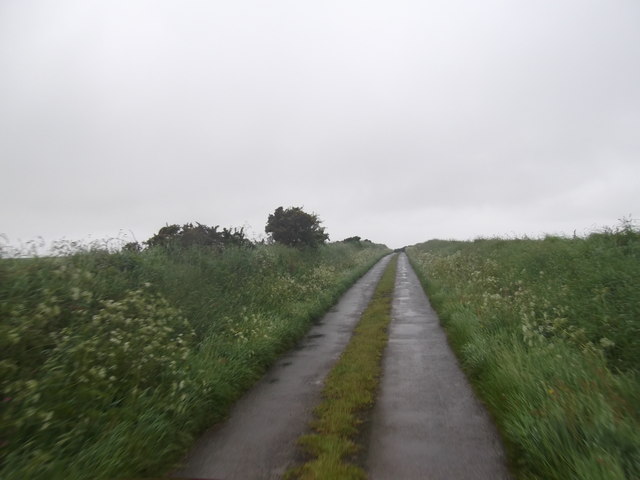
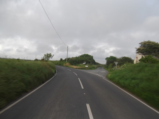
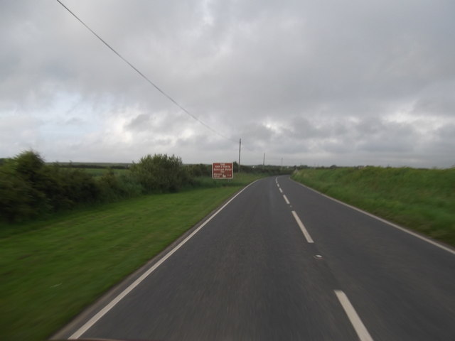
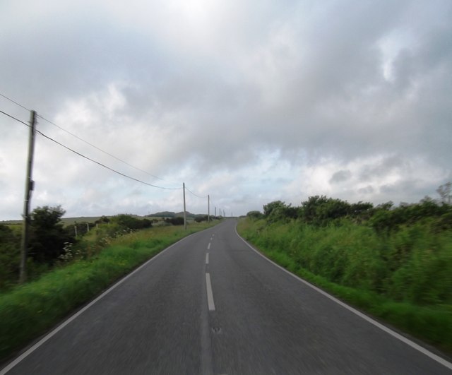
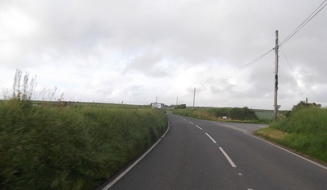
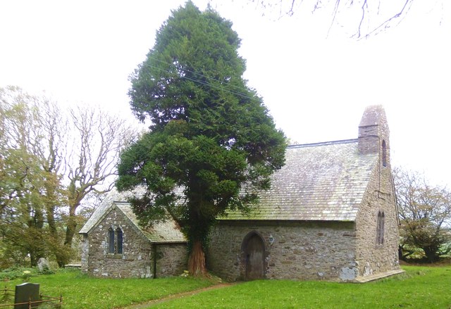
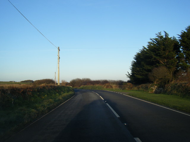
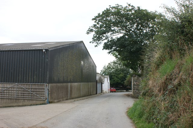
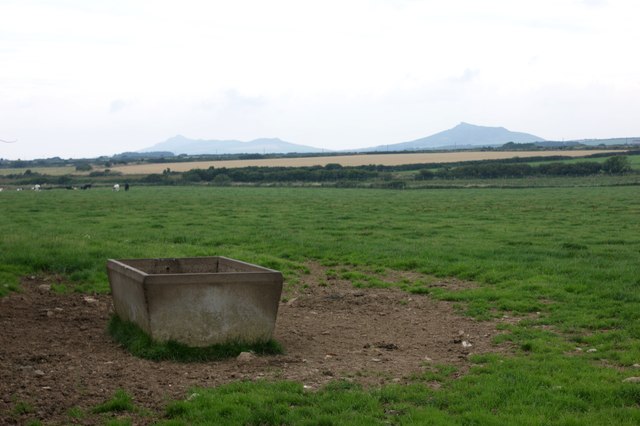
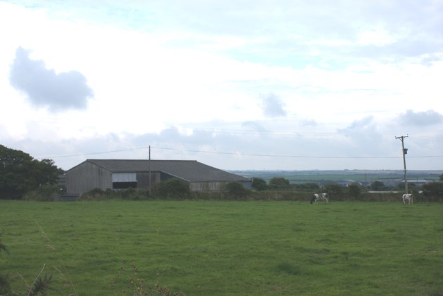
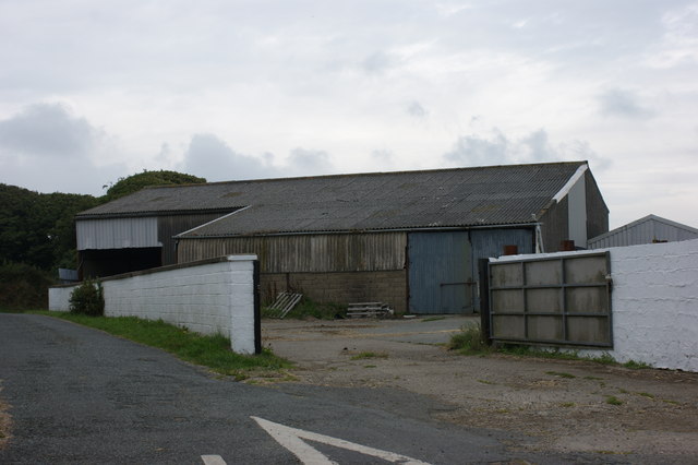
Carnhedryn Uchaf Images
Images are sourced within 2km of 51.907139/-5.1971875 or Grid Reference SM8028. Thanks to Geograph Open Source API. All images are credited.

Carnhedryn Uchaf is located at Grid Ref: SM8028 (Lat: 51.907139, Lng: -5.1971875)
Unitary Authority: Pembrokeshire
Police Authority: Dyfed Powys
What 3 Words
///blazing.relishes.factories. Near Llanrhian, Pembrokeshire
Nearby Locations
Related Wikis

Caerfarchell
Caerfarchell (Welsh pronunciation: [kaɪrvɑːrxɛɬ]) is a small village in Pembrokeshire, Wales, 3 miles northeast of St Davids, close by the A487 road. It...

Solva Woollen Mill
Solva Woollen Mill is a woollen mill in the village of Middle Mill, about one mile from Solva, Pembrokeshire, Wales, that has been in operation since 1907...

Croes-goch
Croes-goch (also spelled Croesgoch) is a village in North Pembrokeshire, West Wales. It is situated on the A487 between Fishguard and St David's. It lies...

RAF St Davids
Royal Air Force St Davids, or more simply RAF St Davids, is a former Royal Air Force station, near the city of St Davids, Pembrokeshire, Wales, in the...

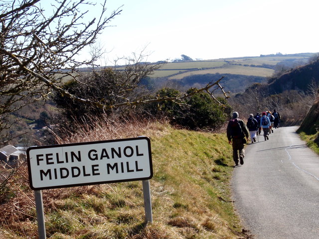
Middle Mill
Middle Mill (Welsh: Felinganol) is a small settlement on the River Solva in the parish of Whitchurch, Pembrokeshire, Wales, approximately 1 mile upstream...

Whitchurch, Pembrokeshire
Whitchurch (Welsh: Tregroes, lit. "Town of the Cross") is a small village and parish (Plwy'r Groes, lit. "Parish of the Cross") in north-western Pembrokeshire...

Abereiddy
Abereiddy (Welsh: Abereddi) is a hamlet in the county of Pembrokeshire, in west Wales.It has a small beach which was awarded the Blue flag rural beach...

Arfordir Abereiddi
Arfordir Abereiddi is a Site of Special Scientific Interest (SSSI) in Pembrokeshire, South Wales. It has been designated as a Site of Special Scientific...
Nearby Amenities
Located within 500m of 51.907139,-5.1971875Have you been to Carnhedryn Uchaf?
Leave your review of Carnhedryn Uchaf below (or comments, questions and feedback).