Carlton Forest
Settlement in Nottinghamshire Bassetlaw
England
Carlton Forest
Carlton Forest is a small village located in Nottinghamshire, England. Situated approximately 5 miles east of Worksop, it falls within the Bassetlaw district. The village is surrounded by vast woodlands and picturesque countryside, making it an ideal location for nature lovers and outdoor enthusiasts.
The main feature of Carlton Forest is its namesake, Carlton Forest, which is a large area of ancient woodland. This forest is home to a diverse range of flora and fauna, including oak, birch, and beech trees, as well as various species of birds and mammals. It provides ample opportunities for walking, cycling, and exploring the natural beauty of the area.
In terms of infrastructure, Carlton Forest is a relatively quiet village with a small population. It has a few residential properties, a local pub, and a small primary school. The village is well-connected to neighboring towns and cities via road networks, with the A60 being the main route passing through the area.
One notable attraction near Carlton Forest is the nearby Clumber Park, which is a National Trust property. This historic parkland offers beautiful landscaped gardens, peaceful lakes, and miles of walking trails. Visitors can also enjoy various outdoor activities such as cycling, horse riding, and picnicking in this scenic setting.
Overall, Carlton Forest is a charming village that offers a tranquil escape from the hustle and bustle of city life. Its natural surroundings, including the ancient woodland and nearby Clumber Park, make it a desirable destination for those seeking a peaceful retreat in the heart of Nottinghamshire.
If you have any feedback on the listing, please let us know in the comments section below.
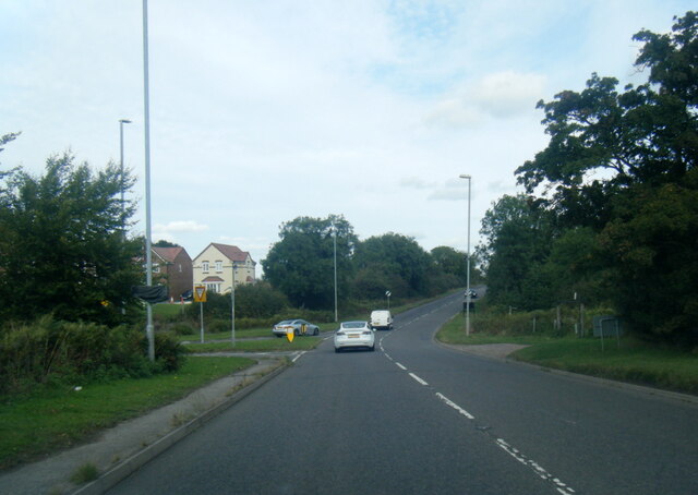
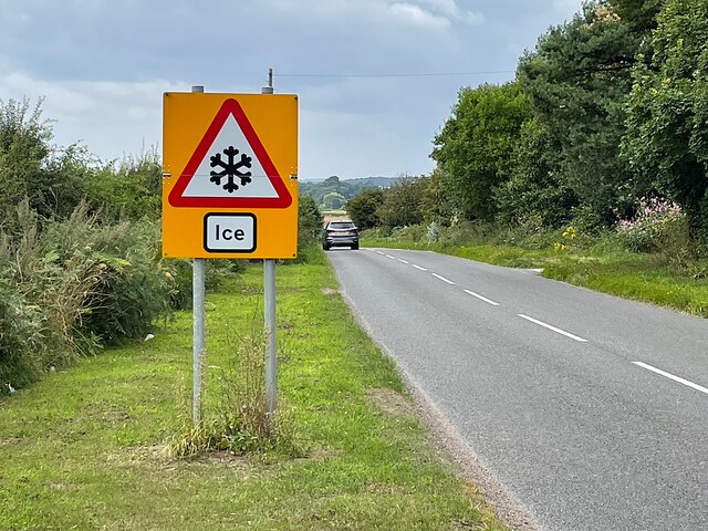
Carlton Forest Images
Images are sourced within 2km of 53.334792/-1.092274 or Grid Reference SK6082. Thanks to Geograph Open Source API. All images are credited.


Carlton Forest is located at Grid Ref: SK6082 (Lat: 53.334792, Lng: -1.092274)
Administrative County: Nottinghamshire
District: Bassetlaw
Police Authority: Nottinghamshire
What 3 Words
///grain.craftsman.nibbles. Near Worksop, Nottinghamshire
Nearby Locations
Related Wikis

Wigthorpe
Wigthorpe is a hamlet in the civil parish of Carlton in Lindrick, in the Bassetlaw district lying to the north of Worksop, England. == References ==
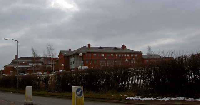
Bassetlaw District General Hospital
Bassetlaw District General Hospital is a National Health Service hospital in Worksop, Nottinghamshire. It is managed by the Doncaster and Bassetlaw Teaching...

St John the Evangelist's Church, Carlton in Lindrick
St John the Evangelist's Church is a Grade I listed parish church in the Church of England in Carlton in Lindrick, Nottinghamshire.Situated in Catlton...

RAF Worksop
Royal Air Force Worksop, or more simply RAF Worksop, is a former Royal Air Force satellite station located at Scofton, 2.8 miles (4.5 km) north east of...
Kilton, Nottinghamshire
Kilton is a large suburban area in the northeast of the market town of Worksop in the ceremonial county of Nottinghamshire in the East Midlands of England...

Mr Straw's House
Mr Straw's House is a National Trust property in Worksop, Nottinghamshire, United Kingdom. The Edwardian semi-detached house and its contents have remained...
Bilby, Nottinghamshire
Bilby is a hamlet in Nottinghamshire, England. It is part of the civil parish of Barnby Moor. It is located 5 miles west of Retford, close to the A1 road...
North Notts College
North Notts College (previously North Nottinghamshire College) is a further education college in Worksop in the county of Nottinghamshire in England. It...
Nearby Amenities
Located within 500m of 53.334792,-1.092274Have you been to Carlton Forest?
Leave your review of Carlton Forest below (or comments, questions and feedback).