Carlton
Settlement in Yorkshire Richmondshire
England
Carlton
Carlton is a charming village located in the region of Yorkshire, England. Situated in the borough of Selby, Carlton is nestled amidst picturesque countryside and offers a tranquil setting for its residents and visitors alike. The village is conveniently positioned just 8 miles east of the bustling town of Leeds, making it an attractive place for commuters.
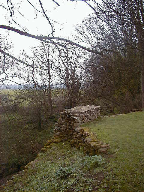
With a population of around 1,000 residents, Carlton maintains a close-knit community atmosphere. The village is characterized by its traditional stone buildings, many of which date back several centuries, adding to its historic charm. The village green serves as a focal point for community events and gatherings, surrounded by quaint cottages and well-tended gardens.
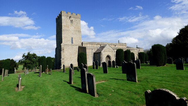
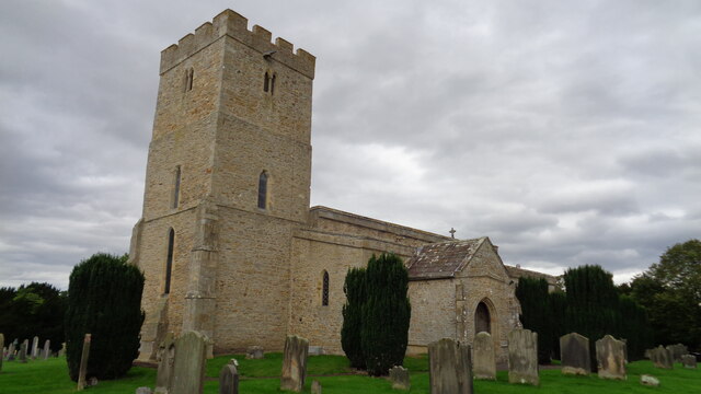
Carlton boasts several amenities that cater to the needs of its residents. These include a primary school, a village hall, a post office, and a local convenience store. Additionally, the village is home to a historic church, St. Mary's, which holds regular services and acts as a hub for religious and social activities.
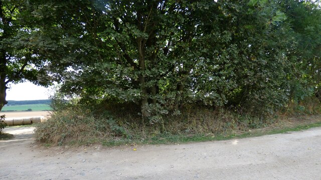
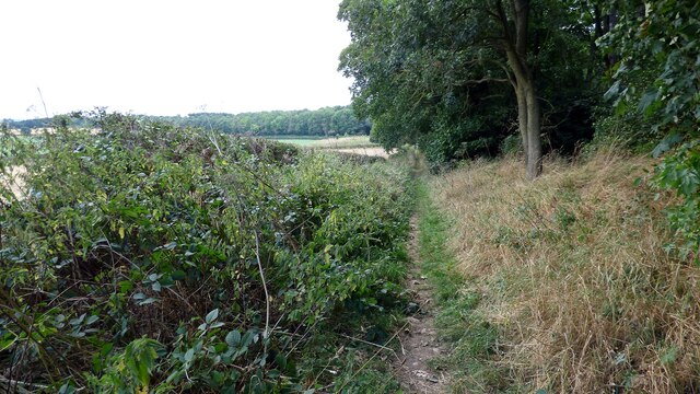
The surrounding countryside offers ample opportunities for outdoor pursuits, such as walking, hiking, and cycling. Carlton is situated near the scenic River Aire, providing a picturesque backdrop for leisurely walks along its banks. The village is also located close to the stunning Yorkshire Dales National Park, allowing residents to explore its natural beauty and partake in various outdoor adventures.
Overall, Carlton offers a delightful blend of rural charm, community spirit, and convenient access to nearby urban centers, making it an idyllic place to reside or visit in the heart of Yorkshire.
If you have any feedback on the listing, please let us know in the comments section below.
Carlton Images
Images are sourced within 2km of 54.505633/-1.706628 or Grid Reference NZ1912. Thanks to Geograph Open Source API. All images are credited.


Carlton is located at Grid Ref: NZ1912 (Lat: 54.505633, Lng: -1.706628)
Division: North Riding
Administrative County: North Yorkshire
District: Richmondshire
Police Authority: North Yorkshire
What 3 Words
///belt.amber.bogus. Near High Coniscliffe, Co. Durham
Nearby Locations
Related Wikis

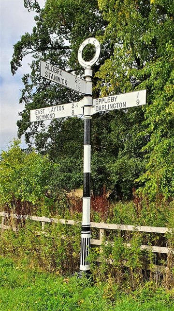
Stanwick St John
Stanwick St John is a village, civil parish, former manor and ecclesiastical parish in the Richmondshire district of North Yorkshire, (formerly "North...
St John the Baptist's Church, Stanwick
St John the Baptist's Church is a redundant Anglican church in the village of Stanwick St John, North Yorkshire, England. It is recorded in the National...

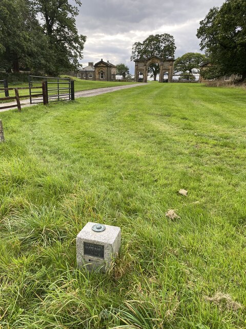
Stanwick Park
Stanwick Park (also known as Stanwick Hall) was a Palladian country house at Stanwick St John in North Yorkshire, England. == History == It was re-built...
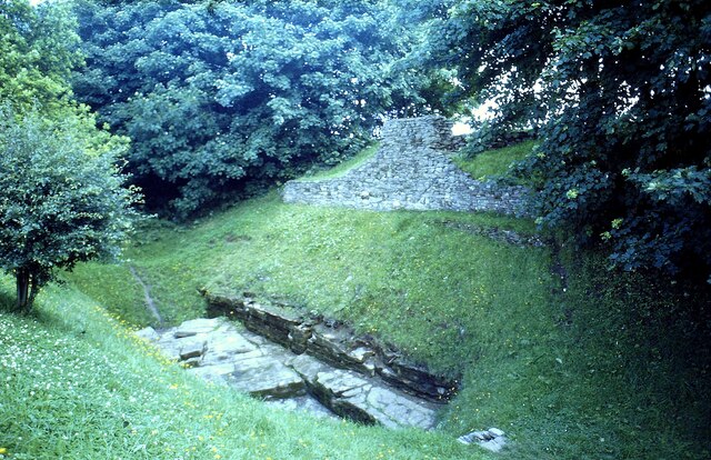
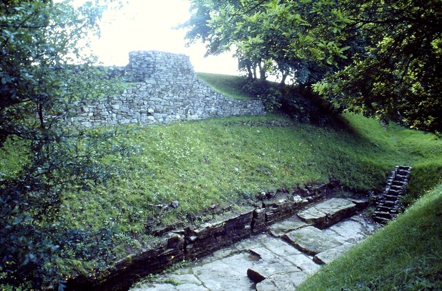
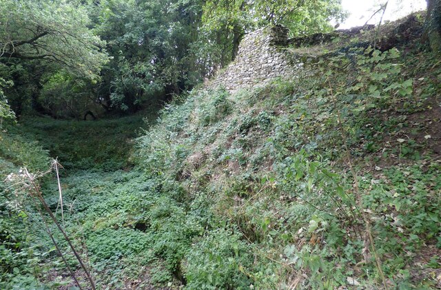
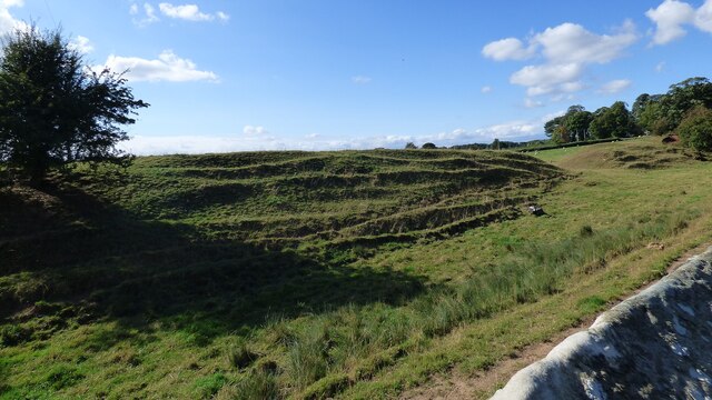
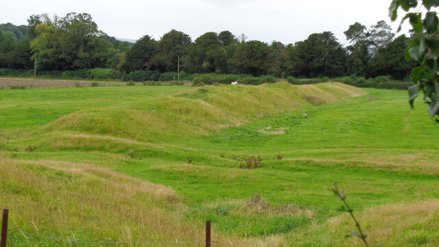
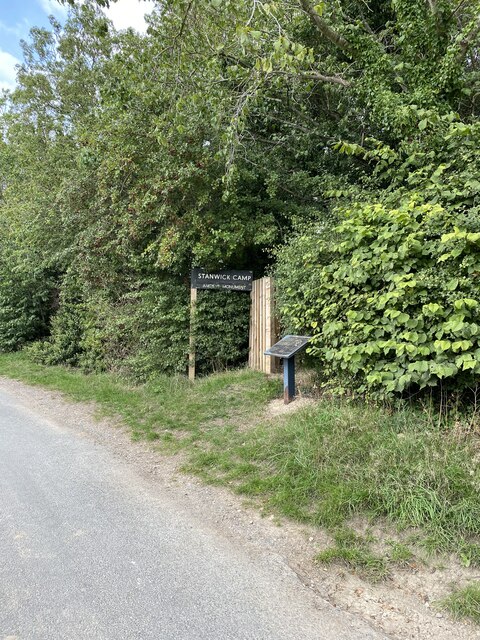
Stanwick Iron Age Fortifications
Stanwick Iron Age Fortifications (also known as 'Stanwick Camp'), a huge Iron Age hill fort, sometimes but not always considered an oppidum, comprising...

Eppleby
Eppleby is a village and civil parish in the Richmondshire district of North Yorkshire, England. It is located about 7 miles (11 km) north of Richmond...

Aldbrough St John
Aldbrough St John is a village and civil parish (called just Aldbrough) in the Richmondshire district in North Yorkshire, England. The parish has a population...

Forcett Hall
Forcett Hall is an English country house in the village of Forcett, North Yorkshire, England, some 6.5 miles (10 km) west of Darlington. It is a Grade...

Forcett
Forcett is a village in the Richmondshire district of North Yorkshire, England. It lies near the border with County Durham, on the B6274 road about 8 miles...
Nearby Amenities
Located within 500m of 54.505633,-1.706628Have you been to Carlton?
Leave your review of Carlton below (or comments, questions and feedback).