Callowside

Settlement in Herefordshire

England

Callowside

Drive to a dwelling Drive leading to a dwelling just outside Pontrillas.
Drive to a dwelling Credit: Philip Halling

The requested URL returned error: 429 Too Many Requests

If you have any feedback on the listing, please let us know in the comments section below.
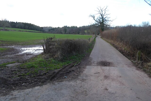
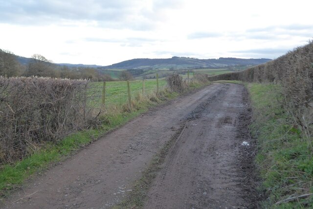
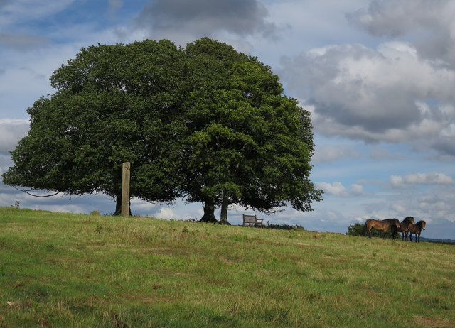
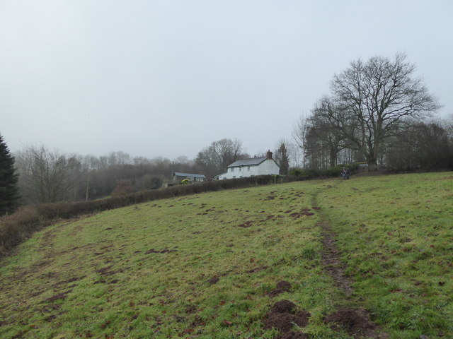
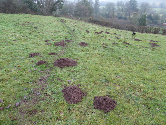
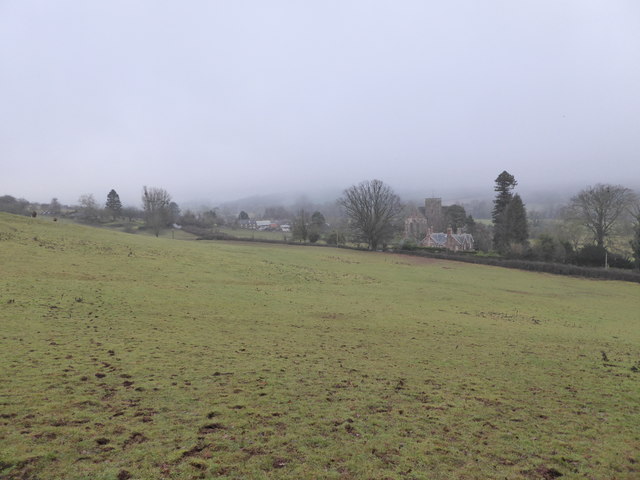
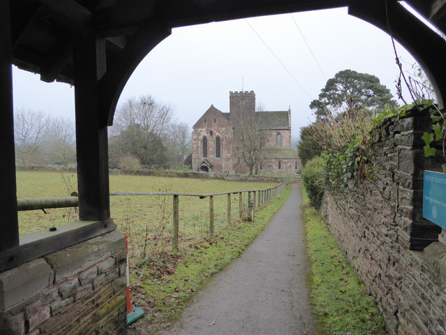
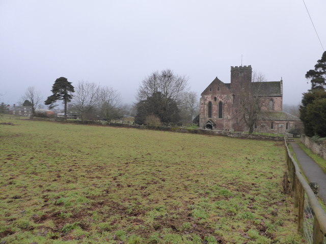
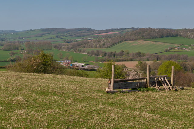
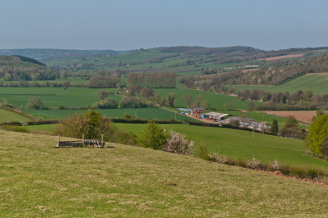
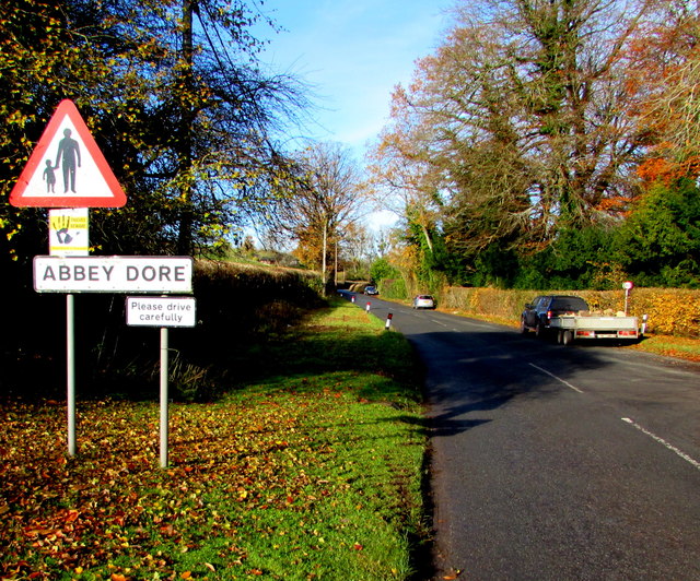
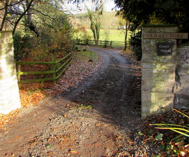
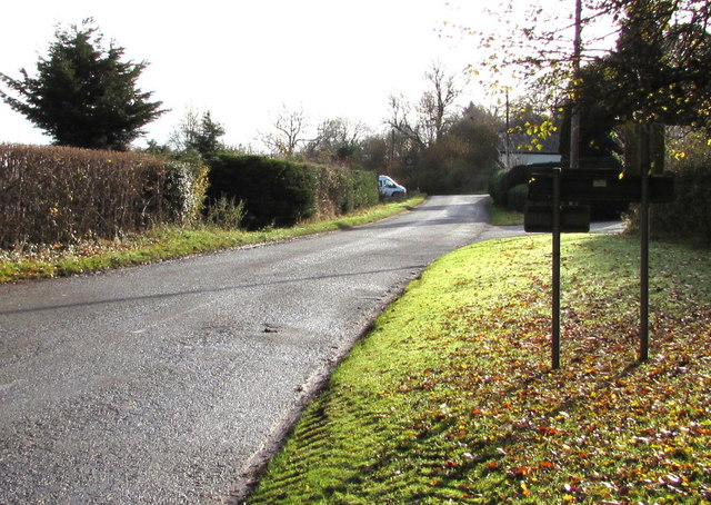
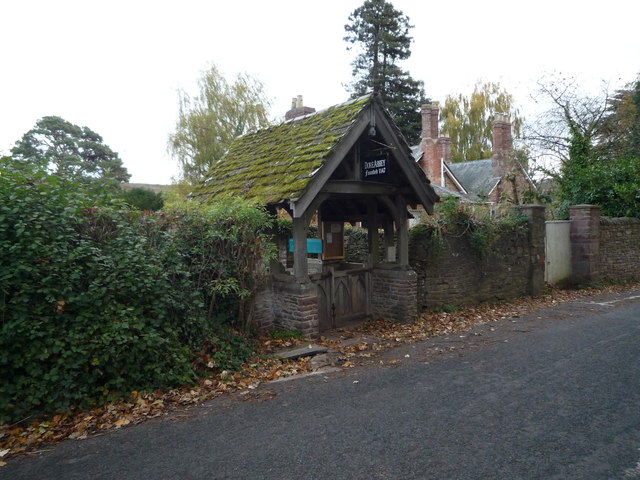
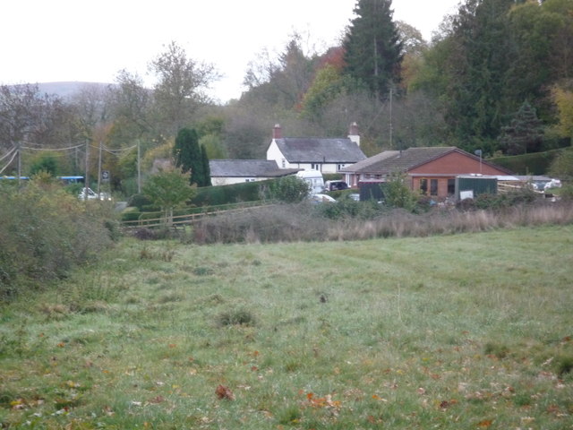
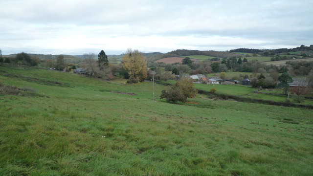
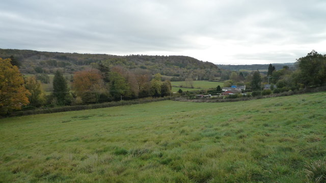
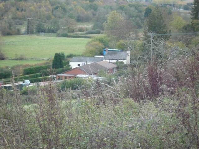
Callowside Images

Images are sourced within 2km of 51.951371/-2.8839823 or Grid Reference SO3928. Thanks to Geograph Open Source API. All images are credited.

Drive to a dwelling Drive leading to a dwelling just outside Pontrillas.
Drive to a dwelling
Drive leading to a dwelling just outside Pontrillas.
Track and footpath Access track to a dwelling, which also is the route of a footpath.
Track and footpath
Access track to a dwelling, which also is the route of a footpath.
Ponies on Ewyas Harold Common Six Exmoor Ponies, and some sheep, are being used to graze parts of the common. There used to be more grazing on the common but scrub and young woodland has increased in the last few decades.
Ponies on Ewyas Harold Common
Six Exmoor Ponies, and some sheep, are being used to graze parts of the common. There used to be more grazing on the common but scrub and young woodland has increased in the last few decades.
Property near Dore Abbey Lovely place.
Property near Dore Abbey
Lovely place.
Mole hills in the field The moles have been very active here in the mild winter weather.
Mole hills in the field
The moles have been very active here in the mild winter weather.
View near Dore Abbey in January It blends in to the landscape here after nearly 900 years.
View near Dore Abbey in January
It blends in to the landscape here after nearly 900 years.
Dore Abbey entrance A lovely approach.
Dore Abbey entrance
A lovely approach.
Dore Abbey Lovely landmark.
Dore Abbey
Lovely landmark.
Cwm Farm A jump on Cwm Farm, with the Golden Valley stretching out in the background.
Cwm Farm
A jump on Cwm Farm, with the Golden Valley stretching out in the background.
Cwm Farm A jump on Cwm Farm, with the Golden Valley stretching out in the background.
Cwm Farm
A jump on Cwm Farm, with the Golden Valley stretching out in the background.
Southern boundary of Abbey Dore, Herefordshire The B4347 from Ewyas Harold reaches the small village of Abbey Dore.
Southern boundary of Abbey Dore, Herefordshire
The B4347 from Ewyas Harold reaches the small village of Abbey Dore.
Entrance to the Old Rectory and Coach House, Abbey Dore From the B4347 in the south of the village.
Entrance to the Old Rectory and Coach House, Abbey Dore
From the B4347 in the south of the village.
Road from Abbey Dore towards Ewyas Harold Looking to the SE along the B4347 in rural south Herefordshire.
The grey back of the Abbey Dore boundary sign <a title="https://www.geograph.org.uk/photo/5614292" href="https://www.geograph.org.uk/photo/5614292">Link</a> is on the right.
Road from Abbey Dore towards Ewyas Harold
Looking to the SE along the B4347 in rural south Herefordshire. The grey back of the Abbey Dore boundary sign Link is on the right.
Lychgate #2 at Dore Abbey One of the two old lychgates at Dore Abbey in Abbey Dore. This lychgate is right in front of the B4347 road.
Lychgate #2 at Dore Abbey
One of the two old lychgates at Dore Abbey in Abbey Dore. This lychgate is right in front of the B4347 road.
The Neville Arms (Abbey Dore) Here is the Neville Arms pub at Abbey Dore, viewed from a public footpath that goes up a steep hill.
The Neville Arms (Abbey Dore)
Here is the Neville Arms pub at Abbey Dore, viewed from a public footpath that goes up a steep hill.
The Village of Abbey Dore Great view.
The Village of Abbey Dore
Great view.
The Village of Abbey Dore Great view.
The Village of Abbey Dore
Great view.
The Neville Arms (Abbey Dore) Here is the Neville Arms pub at Abbey Dore, viewed from a public footpath that goes up a steep hill.
The Neville Arms (Abbey Dore)
Here is the Neville Arms pub at Abbey Dore, viewed from a public footpath that goes up a steep hill.
Show me another place!

Callowside is located at Grid Ref: SO3928 (Lat: 51.951371, Lng: -2.8839823)

Unitary Authority: County of Herefordshire

Police Authority: West Merica

What 3 Words

///look.plea.aliens. Near Ewyas Harold, Herefordshire

Related Wikis

Ewyas Harold

Ewyas Harold () is a village and civil parish in the Golden Valley in Herefordshire, England, near the Wales-England border about halfway between Abergavenny...

Ewyas Harold Castle

Ewyas Harold Castle was a castle in the village of Ewyas Harold in Herefordshire, England. == History == The first castle on the site is believed to be...

Kenderchurch

Kenderchurch is a village and former civil parish, now in the parish of Kilpeck, in the county of Herefordshire, England. In 2001 the parish had a population...

Pontrilas Court

Pontrilas Court situated at the west end of the village Pontrilas in Herefordshire is a large stone Grade II* listed mansion and is marked on the 1904...

Nearby Amenities

Located within 500m of 51.951371,-2.8839823
Ewyas Harold
Created By: POI Editor
Place: village
Source: npe
Wikidata: Q3399541
Lat/Long: 51.9522533/-2.8907934
Bus Stop
Elmdale Housing Estate
Naptan AtcoCode: 2090A077900
Naptan Bearing: W
Naptan BusStopType: CUS
Naptan CommonName: Elmdale Housing Estate
Naptan Indicator: adj Callowside
Naptan Landmark: Jc Callowside
Naptan NaptanCode: heradjmd
Naptan Street: Elmdale
Naptan Verified: no
Source: naptan_import
Lat/Long: 51.9513316/-2.8841692
Bus Stop
Elmdale Housing Estate
Naptan AtcoCode: 2090A19061
Naptan Bearing: E
Naptan BusStopType: CUS
Naptan CommonName: Elmdale Housing Estate
Naptan Indicator: adj Elmdale
Naptan Landmark: Jc Callowside
Naptan NaptanCode: herajpdt
Naptan Street: Elmdale
Naptan Verified: no
Source: naptan_import
Lat/Long: 51.951436/-2.8828217
Bus Stop
Elmdale Turn
Naptan AtcoCode: 2090A19854
Naptan Bearing: SW
Naptan CommonName: Elmdale Turn
Naptan Indicator: adj Junction with Elm Green Road
Naptan Landmark: Road junction
Naptan NaptanCode: herampgw
Naptan Street: B4397
Naptan Verified: no
Source: naptan_import
Lat/Long: 51.9515875/-2.8860077
Bus Stop
Elm Green Road
Naptan AtcoCode: 2090A19856
Naptan Bearing: NE
Naptan BusStopType: CUS
Naptan CommonName: Elm Green Road
Naptan Indicator: opp Junction with Elm Green Road
Naptan Landmark: Road junction
Naptan NaptanCode: herampja
Naptan Street: B4347
Naptan Verified: no
Source: naptan_import
Lat/Long: 51.9516762/-2.8861695
Elm Bridge Junction
Railway: junction
Lat/Long: 51.9538965/-2.8780774
Barrier: stile
Lat/Long: 51.9514576/-2.8864485
Barrier: stile
Source: survey
Lat/Long: 51.9513476/-2.8892325
Barrier: stile
Source: survey
Lat/Long: 51.9506006/-2.8884542
Man Made: mast
Tower Type: communication
Lat/Long: 51.9517971/-2.8803733
Generator Method: photovoltaic
Generator Output Electricity: yes
Generator Source: solar
Generator Type: solar_photovoltaic_panel
Power: generator
Lat/Long: 51.9512152/-2.8853515
Generator Method: photovoltaic
Generator Output Electricity: yes
Generator Source: solar
Generator Type: solar_photovoltaic_panel
Power: generator
Lat/Long: 51.9508779/-2.8911236
Generator Method: photovoltaic
Generator Output Electricity: yes
Generator Source: solar
Generator Type: solar_photovoltaic_panel
Power: generator
Lat/Long: 51.9497968/-2.889761
Barrier: stile
Source: survey
Lat/Long: 51.949729/-2.8887981
Generator Method: photovoltaic
Generator Output Electricity: yes
Generator Source: solar
Generator Type: solar_photovoltaic_panel
Power: generator
Lat/Long: 51.951964/-2.8895223
Barrier: stile
Source: survey
Lat/Long: 51.9478497/-2.8865538
Fire Hydrant
Emergency: fire_hydrant
Fire Hydrant Type: underground
Source: survey
Lat/Long: 51.9495612/-2.8900346
Generator Method: photovoltaic
Generator Output Electricity: yes
Generator Source: solar
Generator Type: solar_photovoltaic_panel
Location: roof
Power: generator
Lat/Long: 51.9525691/-2.8840694
Generator Method: photovoltaic
Generator Output Electricity: yes
Generator Source: solar
Generator Type: solar_photovoltaic_panel
Location: roof
Power: generator
Lat/Long: 51.9501324/-2.8901634
Generator Method: photovoltaic
Generator Output Electricity: yes
Generator Source: solar
Generator Type: solar_photovoltaic_panel
Location: roof
Power: generator
Lat/Long: 51.9518963/-2.8894633
Generator Method: photovoltaic
Generator Output Electricity: yes
Generator Source: solar
Generator Type: solar_photovoltaic_panel
Location: roof
Power: generator
Lat/Long: 51.9522864/-2.8855875
Generator Method: photovoltaic
Generator Output Electricity: yes
Generator Source: solar
Generator Type: solar_photovoltaic_panel
Location: roof
Power: generator
Lat/Long: 51.9525459/-2.8841981
Generator Method: photovoltaic
Generator Output Electricity: yes
Generator Source: solar
Generator Type: solar_photovoltaic_panel
Location: roof
Power: generator
Lat/Long: 51.9520368/-2.8812906
Generator Method: photovoltaic
Generator Output Electricity: yes
Generator Source: solar
Generator Type: solar_photovoltaic_panel
Location: roof
Power: generator
Lat/Long: 51.9521128/-2.8823742
Generator Method: photovoltaic
Generator Output Electricity: yes
Generator Source: solar
Generator Type: solar_photovoltaic_panel
Location: roof
Power: generator
Lat/Long: 51.9515607/-2.882798
Generator Method: photovoltaic
Generator Output Electricity: yes
Generator Source: solar
Generator Type: solar_photovoltaic_panel
Location: roof
Power: generator
Lat/Long: 51.9508862/-2.8847319
Generator Method: photovoltaic
Generator Output Electricity: yes
Generator Source: solar
Generator Type: solar_photovoltaic_panel
Location: roof
Power: generator
Lat/Long: 51.9508796/-2.8846622
Power: pole
Lat/Long: 51.9527472/-2.8777849
Power: pole
Lat/Long: 51.9518678/-2.8774523
Power: pole
Lat/Long: 51.953944/-2.8781845
Power: pole
Lat/Long: 51.9509238/-2.8771438
Turning Circle
Lat/Long: 51.9521753/-2.8846005
Turning Circle
Lat/Long: 51.9519835/-2.8839326
Post Box
Lat/Long: 51.9515768/-2.8863466
Turning Circle
Lat/Long: 51.952486/-2.8840318
Barrier: cycle_barrier
Lat/Long: 51.9515289/-2.8812616
The data included in this document is from www.openstreetmap.org. The data is made available under ODbL.

Have you been to Callowside?

Leave your review of Callowside below (or comments, questions and feedback).