California
Settlement in Suffolk East Suffolk
England
California
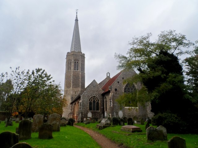
California, Suffolk is a small town located in the eastern part of England. Situated within the Suffolk Coastal District, it is approximately 85 miles northeast of London. The town is named after the state of California in the United States, although it bears no geographical resemblance to its namesake.
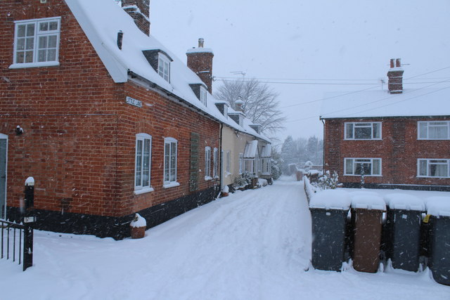
With a population of around 9,000 residents, California is a close-knit community known for its peaceful and picturesque surroundings. The town enjoys a maritime climate, characterized by mild winters and cool summers. Its coastal location also provides opportunities for recreational activities such as fishing and boating.
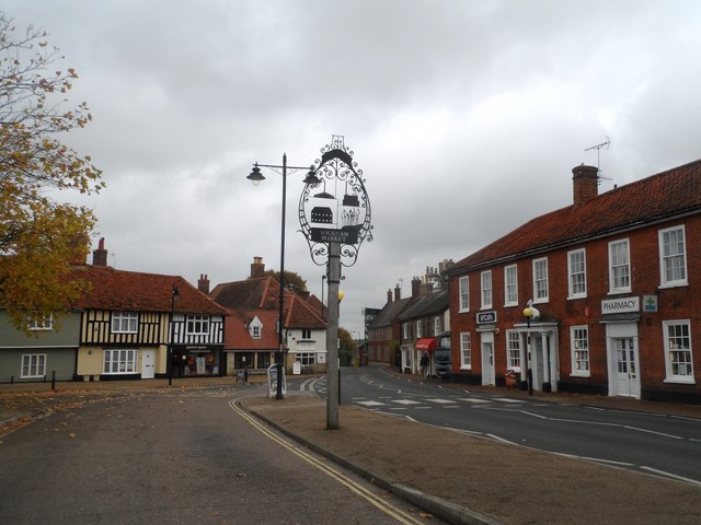
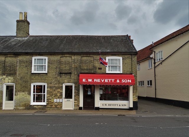
California is home to a range of amenities and services that cater to the needs of its residents. The town center features a variety of shops, including convenience stores, boutiques, and cafes, offering both essential goods and leisure options. There are also several local pubs and restaurants, where visitors can enjoy traditional English cuisine.
The town boasts a strong sense of community, with various social and recreational organizations that bring residents together. California has a primary school that serves the local area, providing education to young children. Additionally, the town benefits from convenient transport links, including bus services connecting it to nearby towns and cities.
Overall, California, Suffolk offers a tranquil and welcoming environment for its residents. Its close proximity to the coast, coupled with its array of amenities, make it an attractive place to live for those seeking a peaceful and idyllic lifestyle.
If you have any feedback on the listing, please let us know in the comments section below.
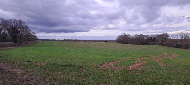
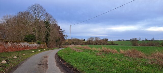
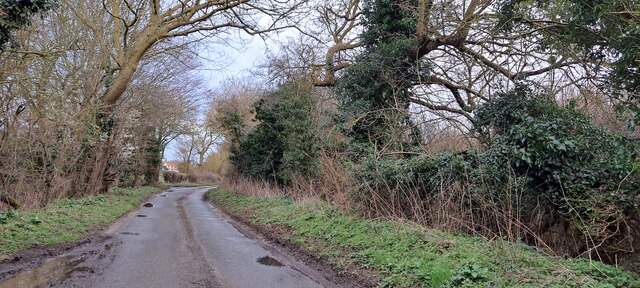
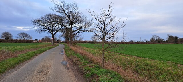
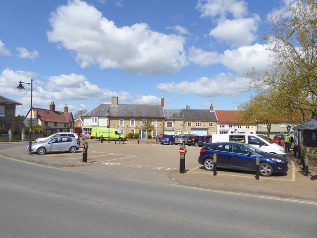
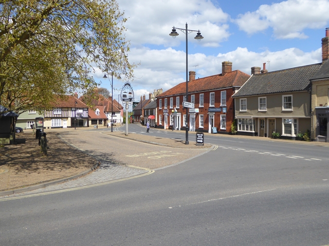
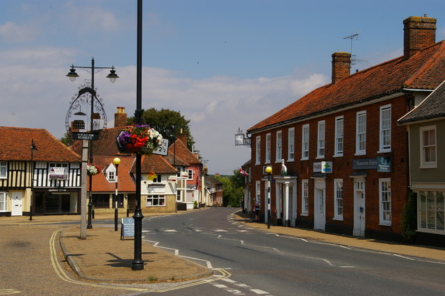
California Images
Images are sourced within 2km of 52.149601/1.3390727 or Grid Reference TM2855. Thanks to Geograph Open Source API. All images are credited.


California is located at Grid Ref: TM2855 (Lat: 52.149601, Lng: 1.3390727)
Administrative County: Suffolk
District: East Suffolk
Police Authority: Suffolk
What 3 Words
///every.roughness.late. Near Wickham Market, Suffolk
Nearby Locations
Related Wikis
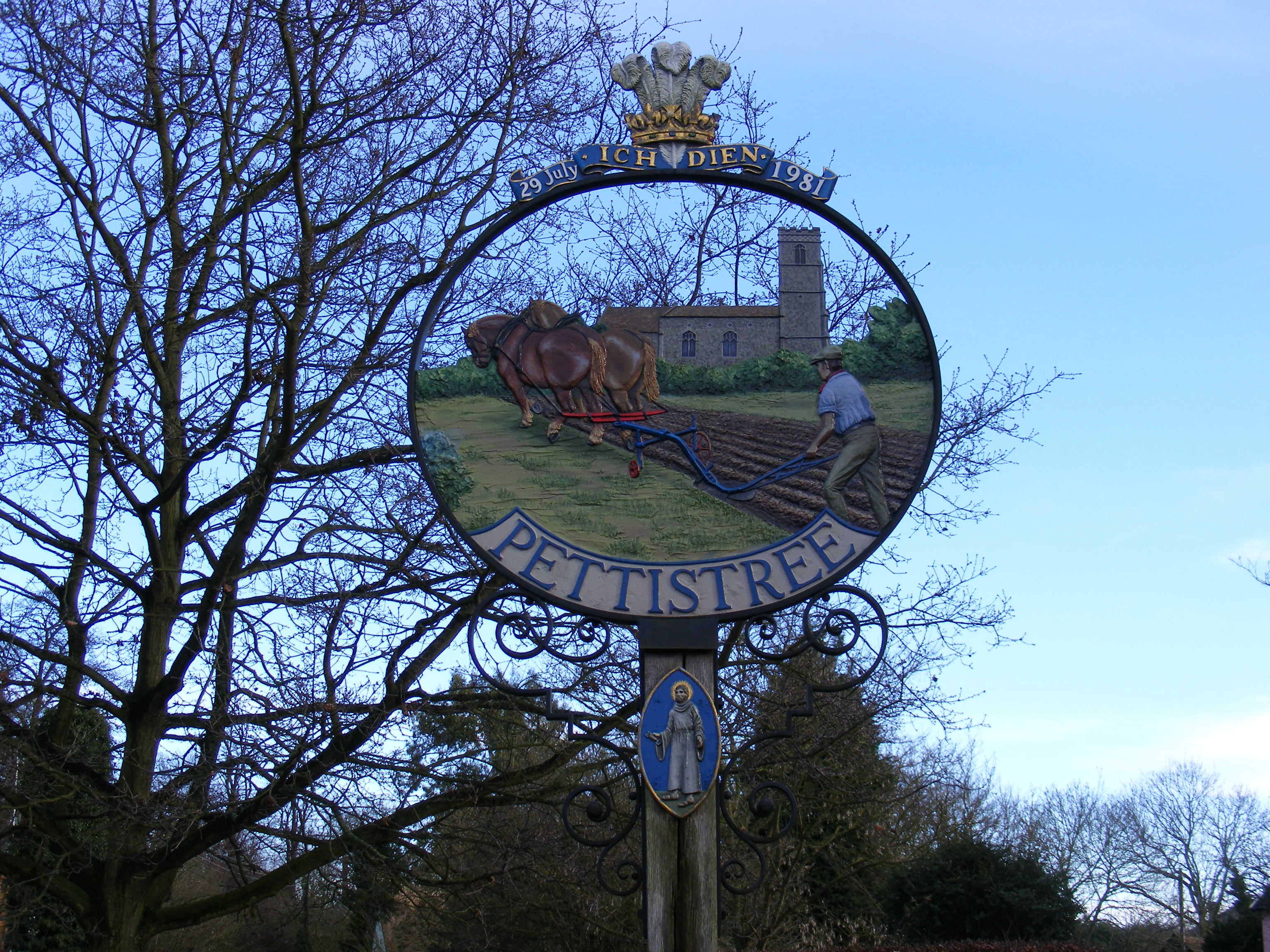
Pettistree
Pettistree is a small village and a civil parish in the East Suffolk district, in the English county of Suffolk. According to the 2011 Census, Pettistree...

Manor of Byng
The Manor of Byng is a former manorial estate located in the county of Suffolk, UK. The manor house is the 16th-century Byng Hall. The manor is located...

Dallinghoo
Dallinghoo is a village about three miles (5 km) north of Woodbridge, Suffolk, England. == Location == Dallinghoo is formed from Church Road to the west...
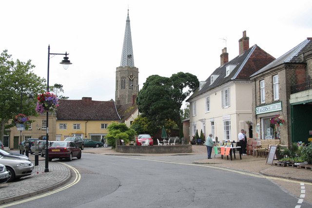
Wickham Market
Wickham Market is a large village and electoral ward in the River Deben valley, Suffolk, England, within the Suffolk Coastal heritage area. It is on the...

Wickham Market Hoard
The Wickham Market Hoard is a hoard of 840 Iron Age gold staters found in a field at Dallinghoo near Wickham Market, Suffolk, England in March 2008 by...

Deben Mill
Deben Mill is a water mill on the River Deben located on the boundary between the civil parishes of Wickham Market and Hacheston, in Suffolk, England....
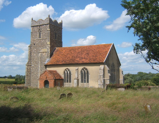
Letheringham
Letheringham is a sparsely populated civil parish in the East Suffolk district (formerly Deben Rural District and then Suffolk Coastal) in Suffolk, England...
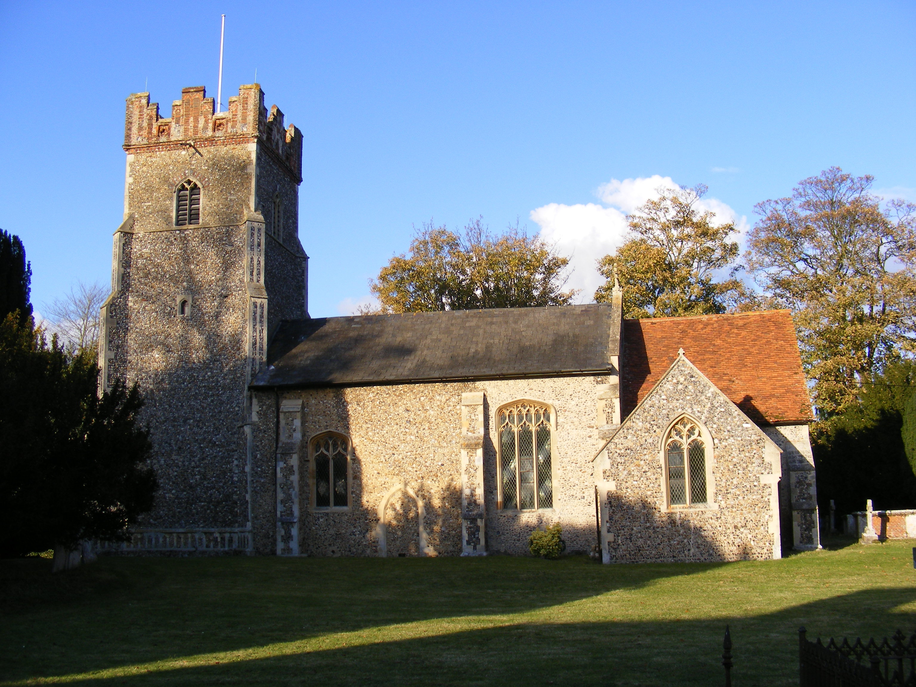
Bredfield
Bredfield is a small village and civil parish in the English county of Suffolk. It is situated just off the A12, two miles north of Woodbridge. Another...
Nearby Amenities
Located within 500m of 52.149601,1.3390727Have you been to California?
Leave your review of California below (or comments, questions and feedback).