California
Settlement in Hertfordshire
England
California
California is a small village located in the county of Hertfordshire, England. Situated approximately 30 miles north of London, it falls within the district of Broxbourne. With a population of around 3,000 residents, California maintains a close-knit community atmosphere.
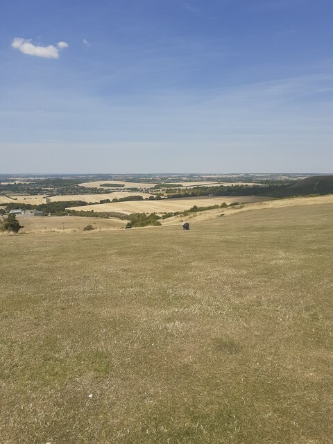
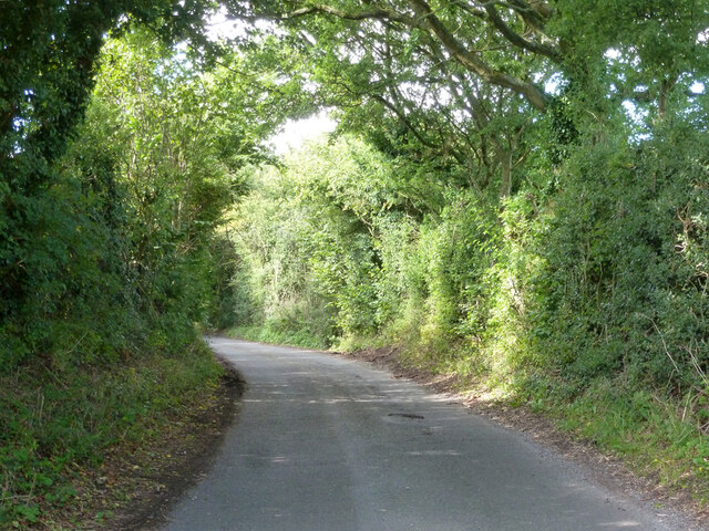
The village is surrounded by picturesque countryside, offering residents and visitors a peaceful and idyllic setting. The landscape is characterized by rolling hills, green fields, and charming woodlands, making it an ideal location for nature enthusiasts and outdoor activities.
Despite its name, California is a far cry from the sunny beaches of the American state. It is primarily a residential area, consisting of a mix of traditional and modern houses. The village also boasts a range of local amenities, including a primary school, a village hall, and a handful of local shops and businesses.
California benefits from excellent transportation links, making it an attractive place for commuters. The nearby towns of Broxbourne and Cheshunt offer access to mainline train services, providing easy connections to London and other major cities. The village is also conveniently located near the A10 road, facilitating smooth travel by car.
In terms of recreational activities, residents can enjoy various options nearby. The Lee Valley Regional Park, a vast green space encompassing rivers, lakes, and forests, is just a short distance away. This offers opportunities for hiking, cycling, boating, and wildlife watching.
Overall, California, Hertfordshire provides a peaceful and countryside lifestyle within easy reach of urban amenities, making it an appealing place to live.
If you have any feedback on the listing, please let us know in the comments section below.
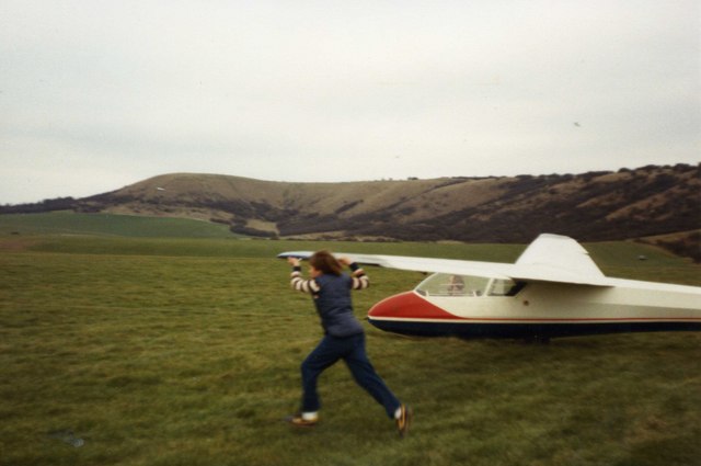
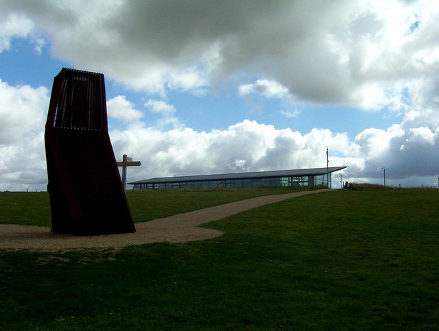
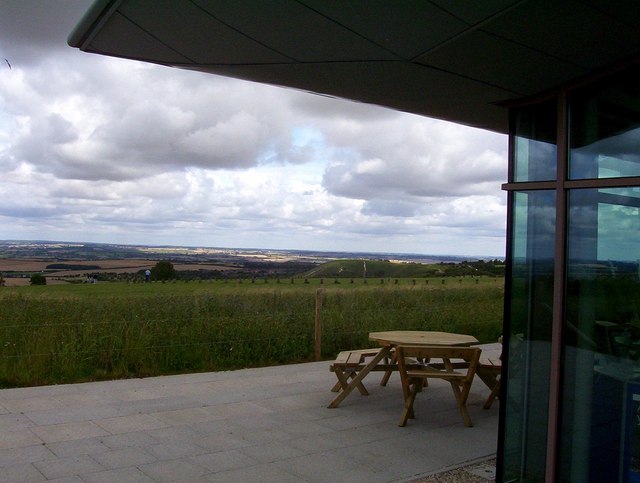
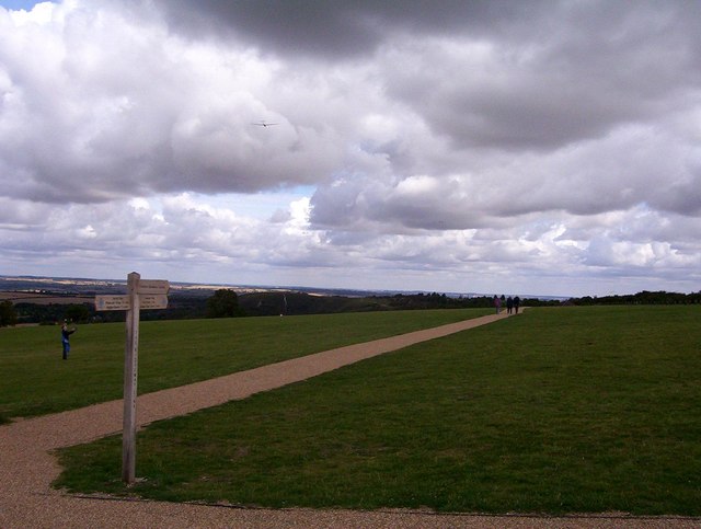
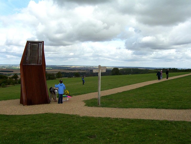
California Images
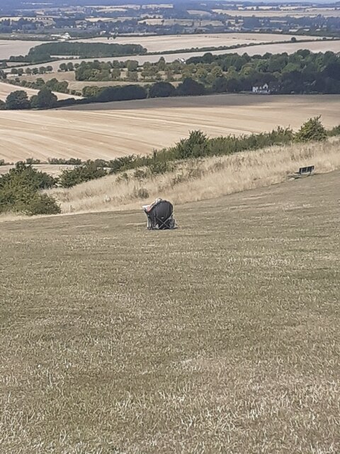
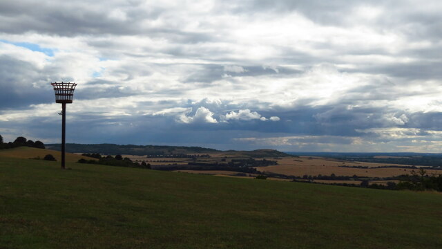
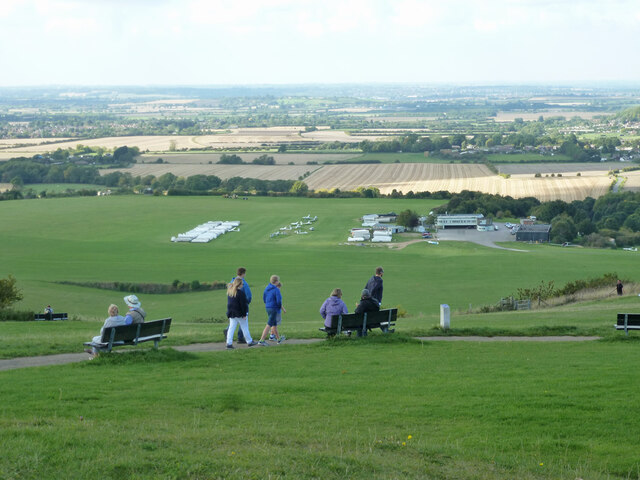
Images are sourced within 2km of 51.879762/-0.53135956 or Grid Reference TL0121. Thanks to Geograph Open Source API. All images are credited.
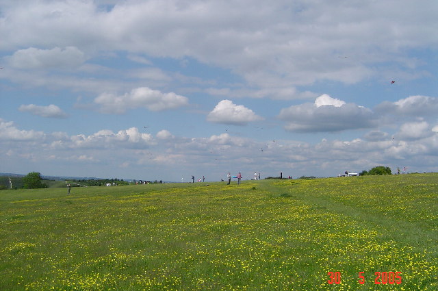
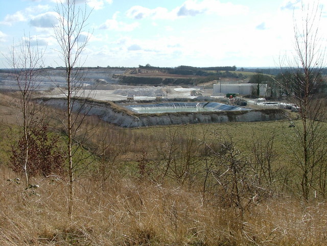
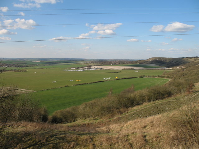
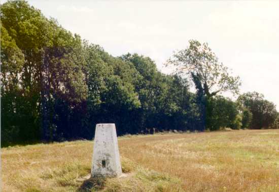

California is located at Grid Ref: TL0121 (Lat: 51.879762, Lng: -0.53135956)
Unitary Authority: Central Bedfordshire
Police Authority: Bedfordshire
What 3 Words
///scars.bulb.speech. Near Dunstable, Bedfordshire
Nearby Locations
Related Wikis

Queensbury Academy, Dunstable
Queensbury Academy (formerly Queensbury Upper School) is an 11–18 mixed, secondary school and sixth form with academy status in Dunstable, Bedfordshire...
California Ballroom
The California Ballroom, nicknamed "Cali" and "Soul City", was a 2000-capacity music venue, being one of the United Kingdom's best-known soul music venues...
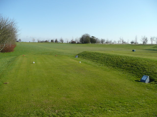
Dunstable Downs Golf Club
Dunstable Downs Golf Club is a golf club in the southwest of Dunstable, Bedfordshire, England. It was established in 1906. As of 1995 the course measured...
Dunstable Friary
Dunstable Friary was a Dominican friary in Dunstable, Bedfordshire, England. It was located to the west of Watling Street, between the present-day High...
Nearby Amenities
Located within 500m of 51.879762,-0.53135956Have you been to California?
Leave your review of California below (or comments, questions and feedback).