Long Belt
Wood, Forest in Suffolk East Suffolk
England
Long Belt
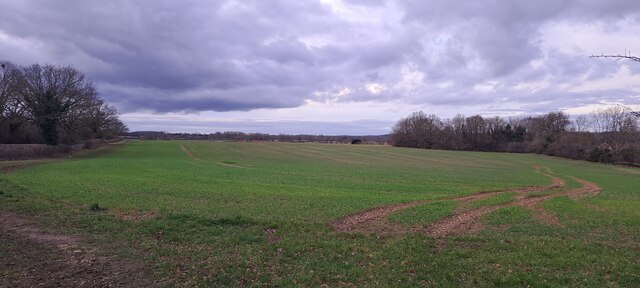
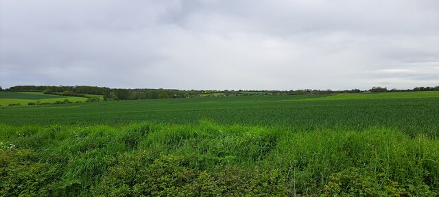
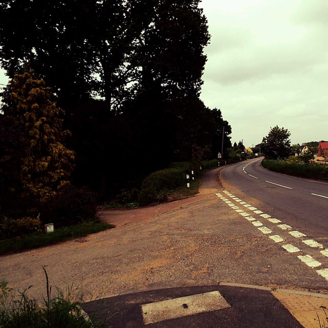
Long Belt, Suffolk, also known as Long Belt Wood or Long Belt Forest, is a picturesque woodland area located in the county of Suffolk, England. Covering an area of approximately 200 acres, the wood is situated near the village of Long Belt and is a popular destination for nature enthusiasts, hikers, and wildlife lovers.
Long Belt Wood is characterized by its diverse range of tree species, including oak, beech, ash, and birch, which create a dense canopy and provide a habitat for various flora and fauna. The wood is especially renowned for its bluebell displays during springtime, attracting visitors from far and wide to witness the stunning carpet of vibrant blue flowers.
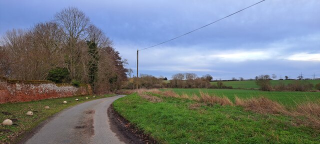
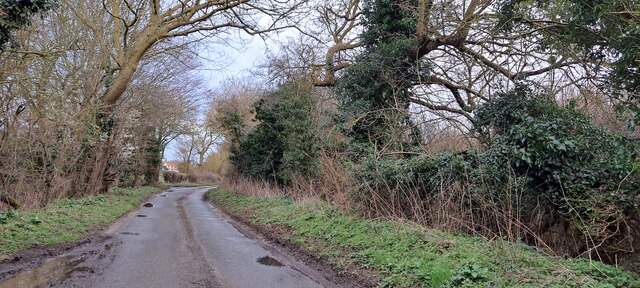
The forest offers a network of well-maintained footpaths and trails, making it an ideal location for leisurely walks, joggers, and dog walkers. The tranquil atmosphere and peaceful surroundings make it a perfect escape from the hustle and bustle of everyday life.
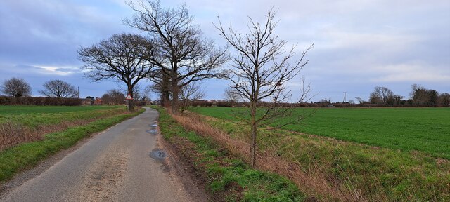
Wildlife enthusiasts can expect to spot a wide array of species in Long Belt Wood. The forest is home to numerous bird species, including great spotted woodpeckers, tawny owls, and various songbirds. Mammals such as foxes, rabbits, and squirrels can also be seen darting through the undergrowth.
Long Belt, Suffolk, is easily accessible by car, with ample parking available nearby. It is recommended to wear appropriate footwear and bring binoculars or a camera to fully enjoy the natural beauty of this enchanting woodland area. Whether you are a nature lover, a photography enthusiast, or simply seeking a peaceful retreat, Long Belt Wood is sure to captivate and inspire.
If you have any feedback on the listing, please let us know in the comments section below.
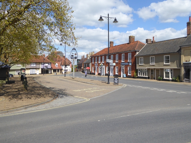
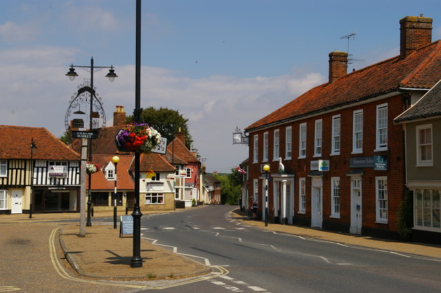
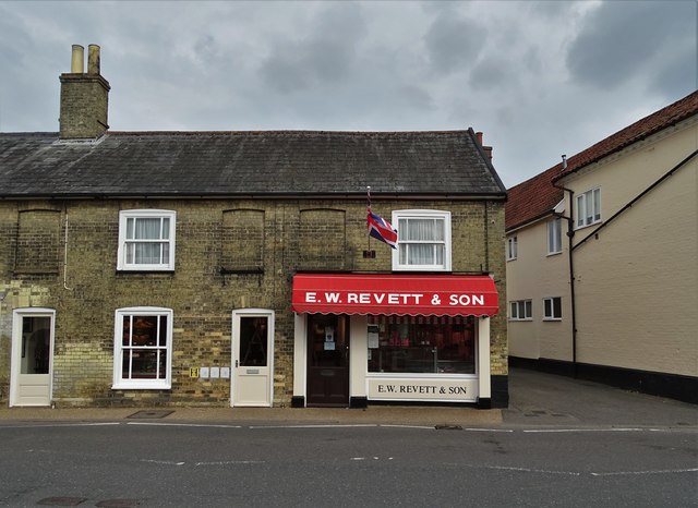
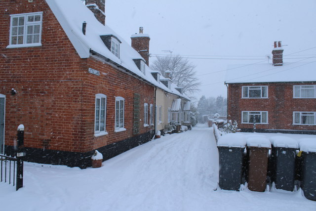
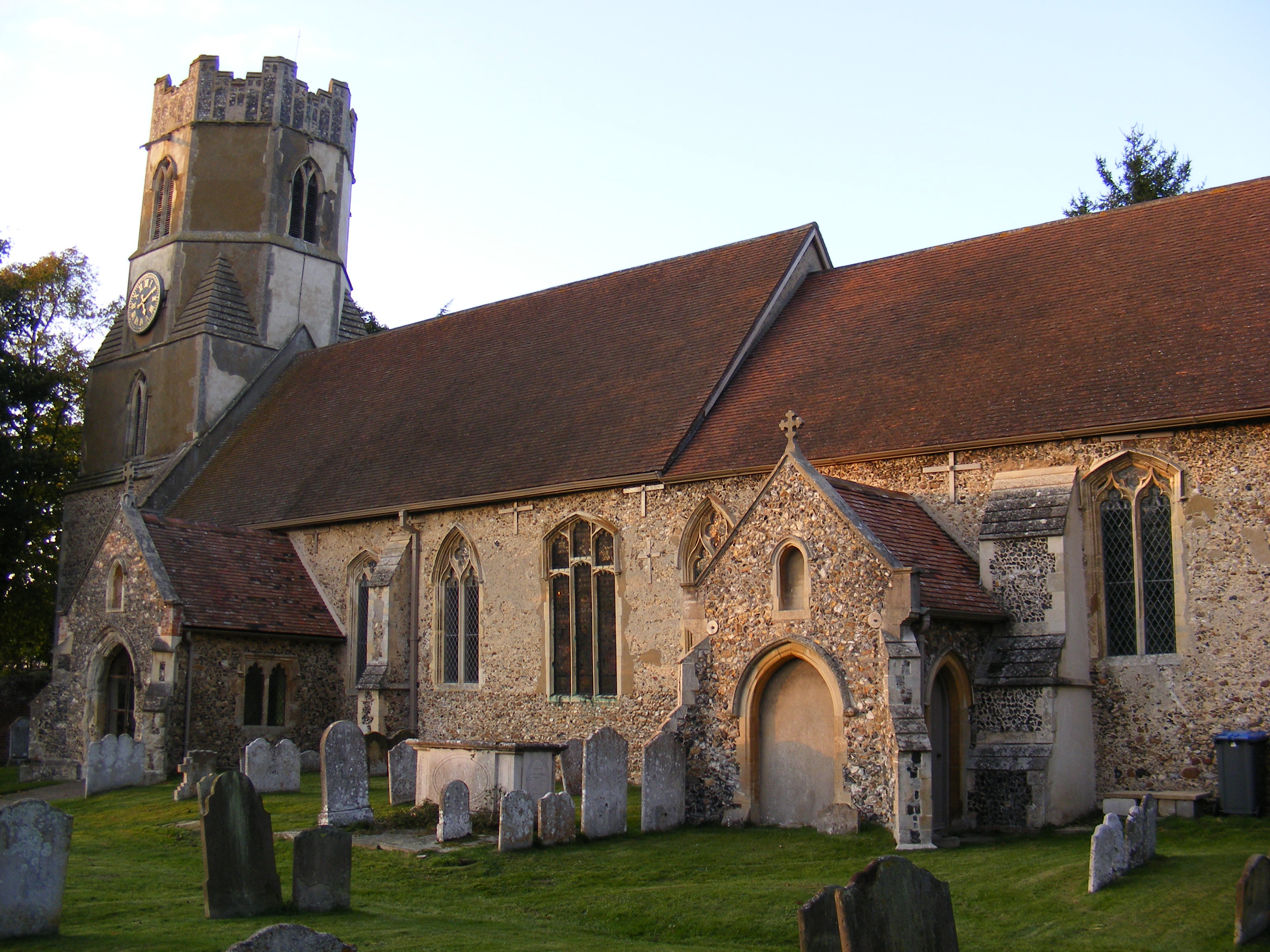
Long Belt Images
Images are sourced within 2km of 52.153349/1.3366045 or Grid Reference TM2855. Thanks to Geograph Open Source API. All images are credited.

Long Belt is located at Grid Ref: TM2855 (Lat: 52.153349, Lng: 1.3366045)
Administrative County: Suffolk
District: East Suffolk
Police Authority: Suffolk
What 3 Words
///fuel.marked.decanter. Near Wickham Market, Suffolk
Nearby Locations
Related Wikis
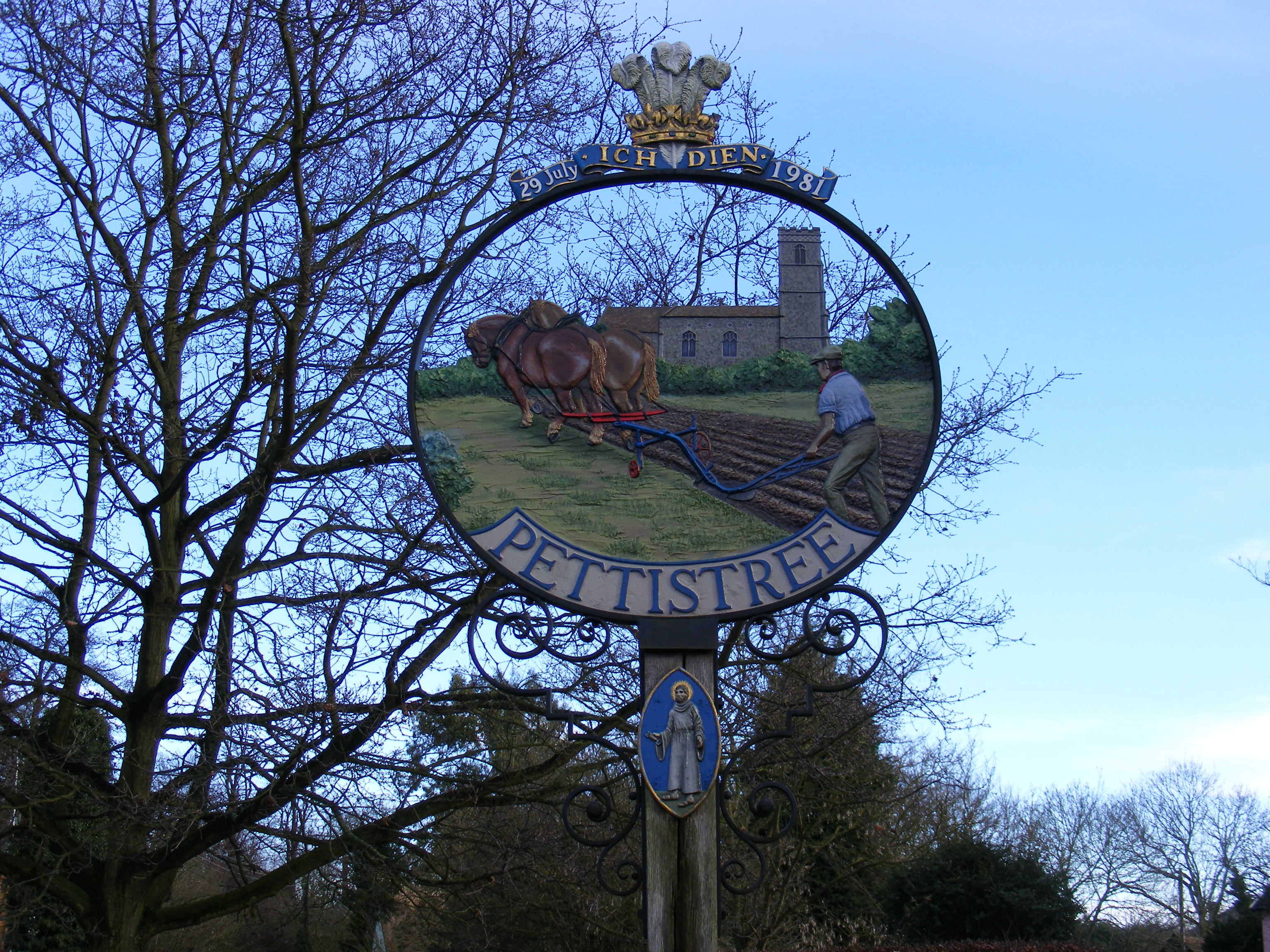
Pettistree
Pettistree is a small village and a civil parish in the East Suffolk district, in the English county of Suffolk. According to the 2011 Census, Pettistree...

Dallinghoo
Dallinghoo is a village about three miles (5 km) north of Woodbridge, Suffolk, England. == Location == Dallinghoo is formed from Church Road to the west...

Manor of Byng
The Manor of Byng is a former manorial estate located in the county of Suffolk, UK. The manor house is the 16th-century Byng Hall. The manor is located...
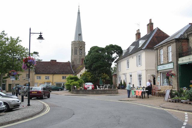
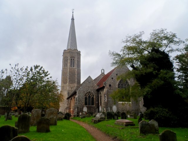
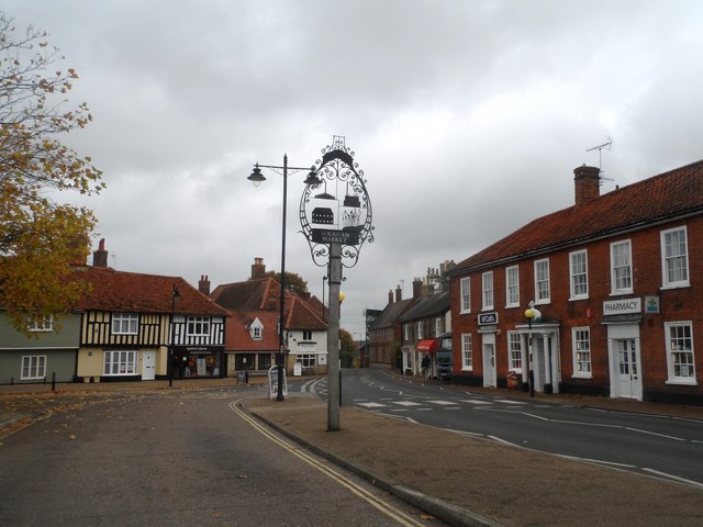
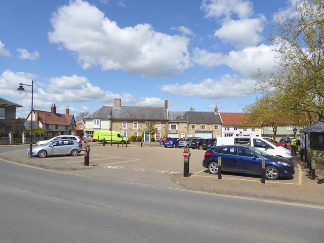
Wickham Market
Wickham Market is a large village and electoral ward in the River Deben valley, Suffolk, England, within the Suffolk Coastal heritage area. It is on the...

Wickham Market Hoard
The Wickham Market Hoard is a hoard of 840 Iron Age gold staters found in a field at Dallinghoo near Wickham Market, Suffolk, England in March 2008 by...
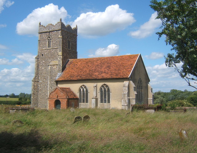
Letheringham
Letheringham is a sparsely populated civil parish in the East Suffolk district (formerly Deben Rural District and then Suffolk Coastal) in Suffolk, England...

Deben Mill
Deben Mill is a water mill on the River Deben located on the boundary between the civil parishes of Wickham Market and Hacheston, in Suffolk, England....
Easton, Suffolk
Easton in England is situated on the River Deben around three miles south of Framlingham and is the former estate village of Easton Park, one-time seat...
Nearby Amenities
Located within 500m of 52.153349,1.3366045Have you been to Long Belt?
Leave your review of Long Belt below (or comments, questions and feedback).