Cairnie
Settlement in Aberdeenshire
Scotland
Cairnie
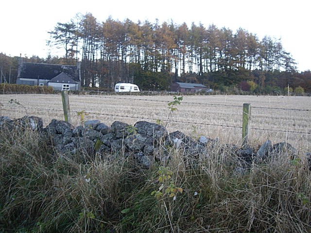
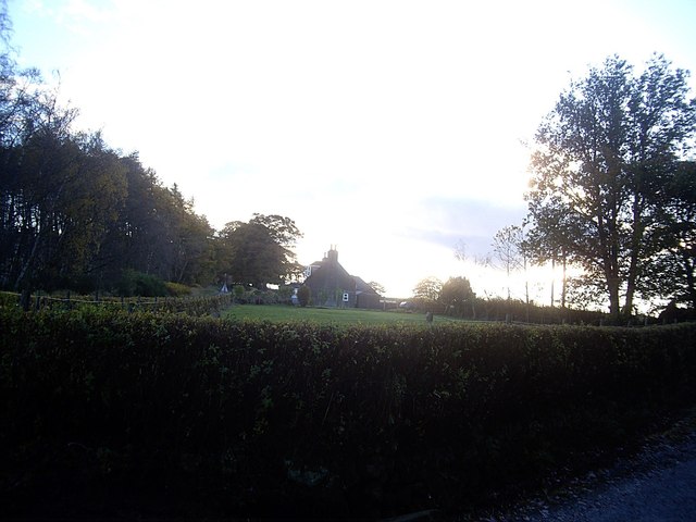
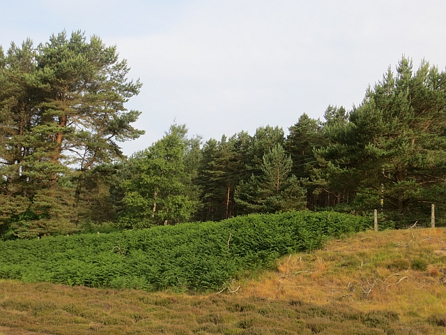
Cairnie is a small village located in the Aberdeenshire region of Scotland. Situated approximately 5 miles southeast of the town of Huntly, Cairnie is surrounded by picturesque countryside and offers a tranquil setting for its residents and visitors.
The village itself is characterized by a small cluster of traditional stone houses and cottages, giving it a charming and timeless appeal. The local community is tight-knit and friendly, with a population of around 200 residents who take pride in maintaining the village's unique character.
Despite its small size, Cairnie boasts a number of amenities to cater to the needs of its residents. These include a primary school, a village hall, and a post office. Additionally, the nearby town of Huntly provides access to a wider range of services, including secondary schools, shops, and healthcare facilities.
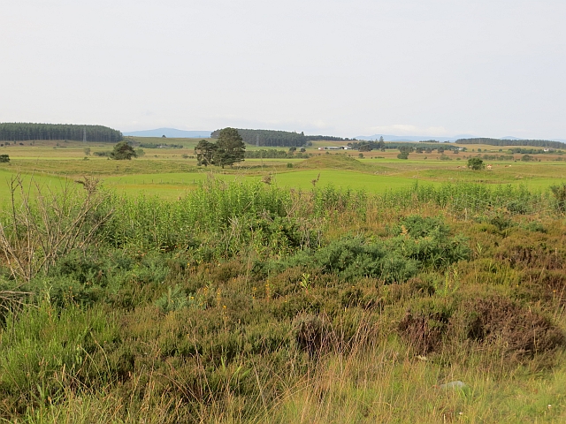
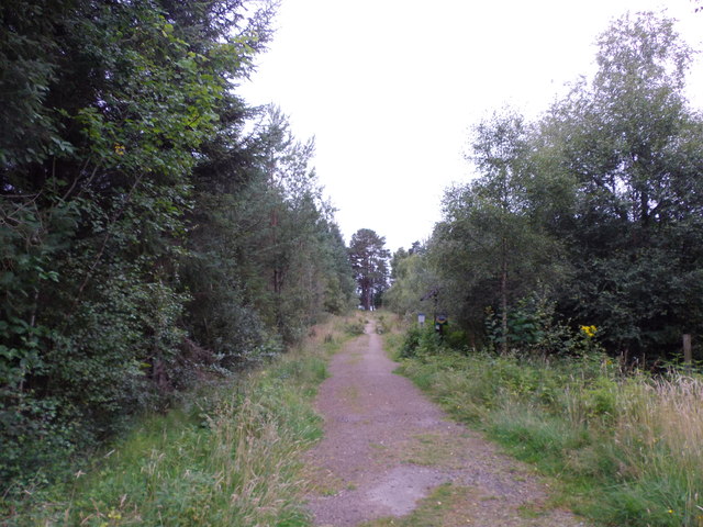
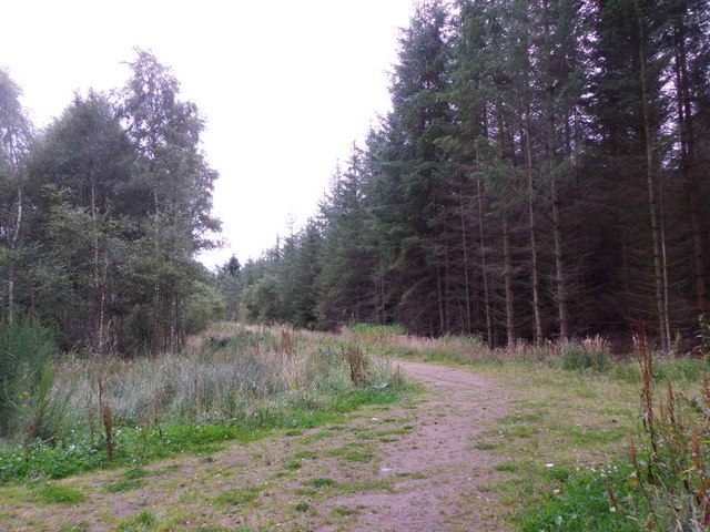
The surrounding area offers plenty of opportunities for outdoor activities. Cairnie Hill, located just to the north of the village, provides stunning views of the surrounding countryside and is a popular spot for walking and hiking. The nearby River Deveron is renowned for its excellent salmon fishing, attracting anglers from far and wide.
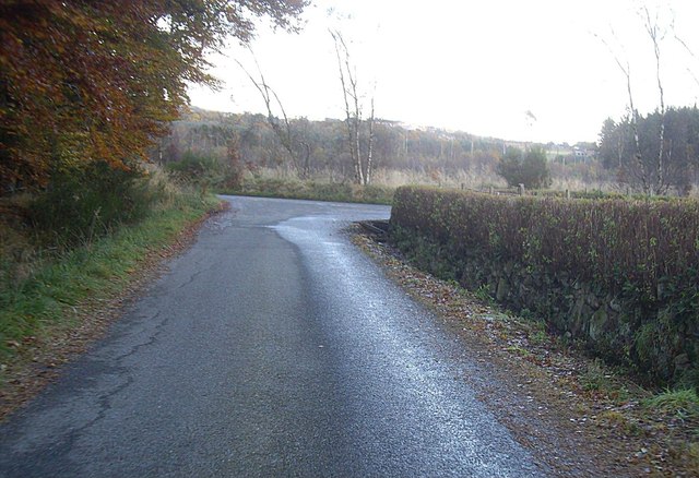
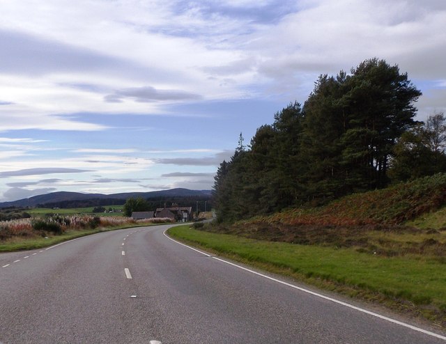
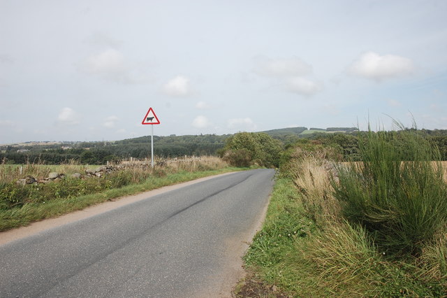
Cairnie is well-connected to the rest of Aberdeenshire by road, making it easily accessible for those wishing to explore the wider region. The village's peaceful atmosphere, combined with its idyllic location, makes it a desirable place to live for those seeking a quieter lifestyle in the heart of rural Scotland.
If you have any feedback on the listing, please let us know in the comments section below.
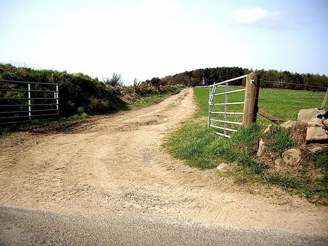
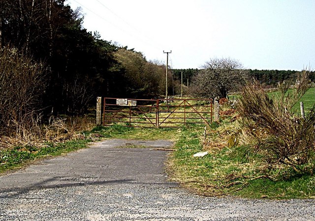
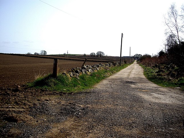
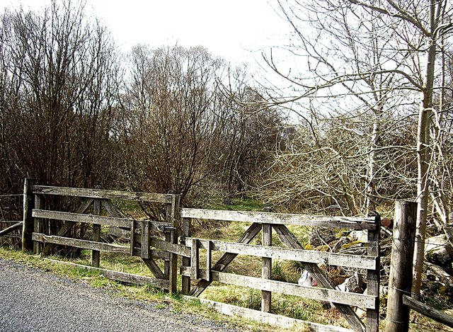
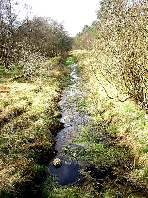
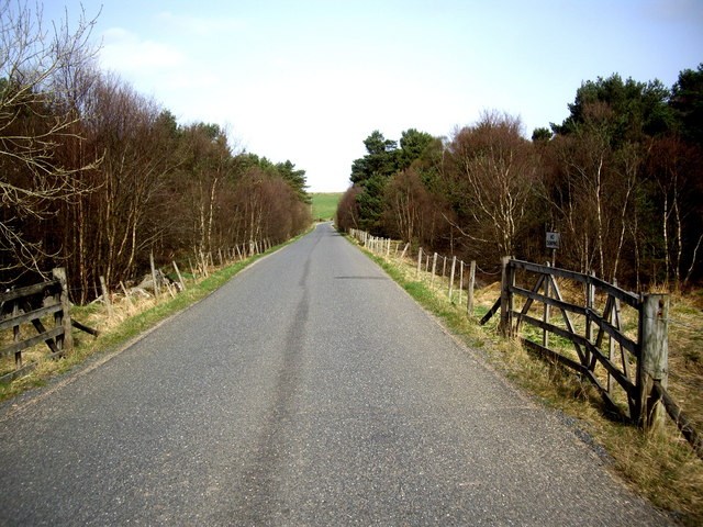
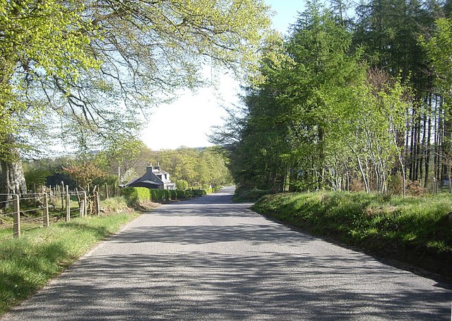
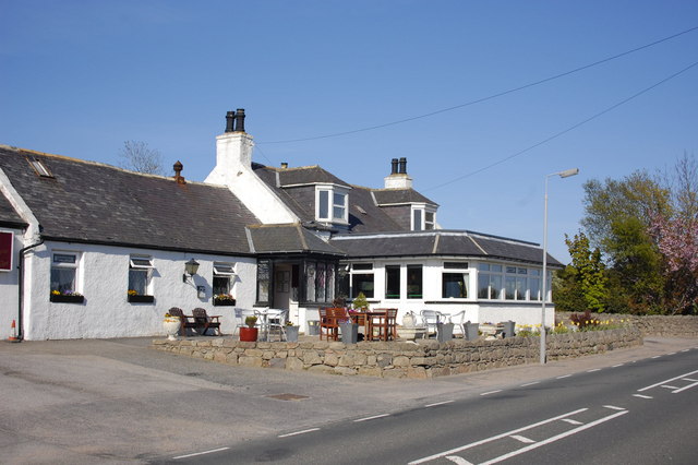
Cairnie Images
Images are sourced within 2km of 57.14142/-2.3232701 or Grid Reference NJ8005. Thanks to Geograph Open Source API. All images are credited.
Cairnie is located at Grid Ref: NJ8005 (Lat: 57.14142, Lng: -2.3232701)
Unitary Authority: Aberdeenshire
Police Authority: North East
What 3 Words
///fidelity.telephone.completed. Near Westhill, Aberdeenshire
Nearby Locations
Related Wikis

Garlogie
Garlogie (Scottish Gaelic: Geàrr Lagaidh) is a roadside hamlet in Aberdeenshire, Scotland. It was, during the 19th century, the site of a textile milling...

Elrick
Elrick (Scottish Gaelic: An Eilreig) is a small village on the A944 road 7+1⁄2 miles (12.1 km) west of the city of Aberdeen, Scotland. The name derives...
Skene Parish Church
Skene Parish Church is a congregation of the Church of Scotland in Skene, part of the Presbytery of Gordon. The parish has two places of worship, Skene...
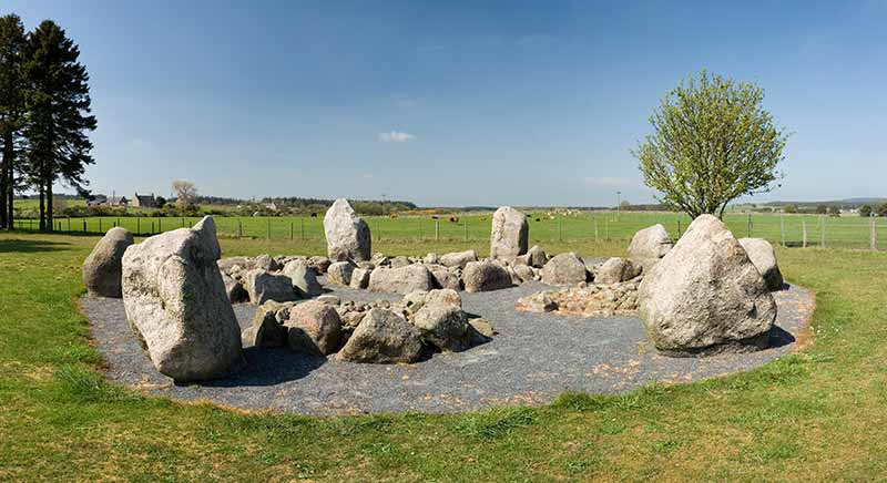
Cullerlie stone circle
Cullerlie stone circle, also known as the Standing Stones of Echt, is a small stone circle situated near Echt, Aberdeenshire. It consists of eight irregular...

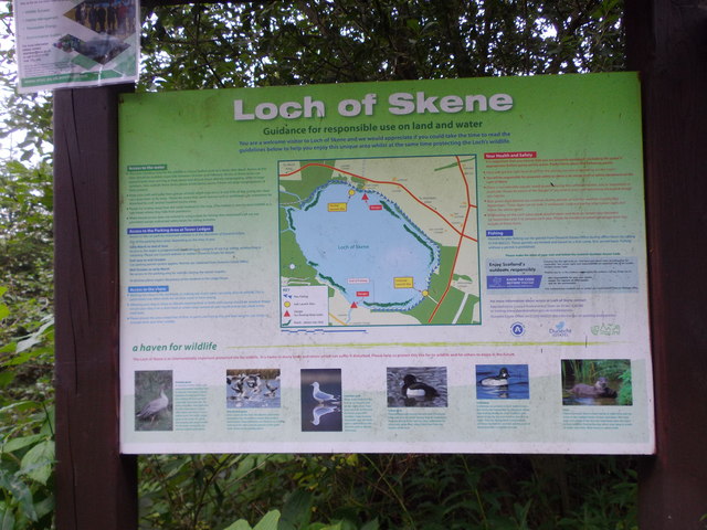
Loch of Skene
Loch of Skene is a large lowland, freshwater loch in Aberdeenshire, Scotland. It lies approximately 1 mi (1.6 km) to the west of the village of Kirkton...

Westhill, Aberdeenshire
Westhill is a suburban town in Aberdeenshire, Scotland, located 7 miles (11 km) west of the city of Aberdeen. == Size of Westhill == The town of Westhill...

Westhill Academy
Westhill Academy is an Aberdeenshire Council secondary school in Westhill, near Aberdeen, Scotland, serving the Westhill, Elrick and Skene areas of Aberdeenshire...

Aberdeen Western Peripheral Route
The Aberdeen Western Peripheral Route (AWPR), unofficially also the City of Aberdeen Bypass, is a major road that wraps around the city of Aberdeen, Scotland...
Nearby Amenities
Located within 500m of 57.14142,-2.3232701Have you been to Cairnie?
Leave your review of Cairnie below (or comments, questions and feedback).