Caeralem
Settlement in Glamorgan
Wales
Caeralem
Caeralem is a small village located in the county of Glamorgan, Wales. Situated in the picturesque countryside, it is known for its tranquil surroundings and idyllic landscapes. With a population of around 500 residents, Caeralem offers a close-knit community atmosphere where everyone knows each other.
The village dates back to the medieval period, and remnants of its rich history can still be seen today. One of the prominent landmarks is the Caeralem Castle, a well-preserved 13th-century fortress that attracts visitors from near and far. The castle is a testament to the village's historical significance and serves as a popular tourist attraction.
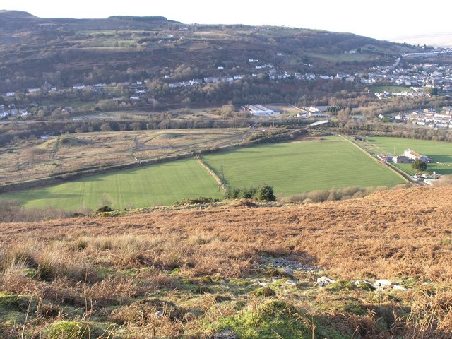
Caeralem is also blessed with natural beauty, with rolling hills and lush green fields surrounding the village. It is a haven for outdoor enthusiasts, offering numerous hiking and cycling trails that allow visitors to explore the stunning countryside. The nearby Caeralem Nature Reserve is home to a diverse range of flora and fauna, making it a perfect spot for nature lovers.
The village itself has a charming center, with a few local shops, cafes, and pubs that cater to the needs of both residents and visitors. It also hosts a weekly market where locals can buy fresh produce and handmade crafts.
Overall, Caeralem is a peaceful and picturesque village that combines its rich history with beautiful natural surroundings, making it a delightful destination for those seeking a tranquil escape.
If you have any feedback on the listing, please let us know in the comments section below.
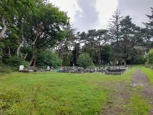
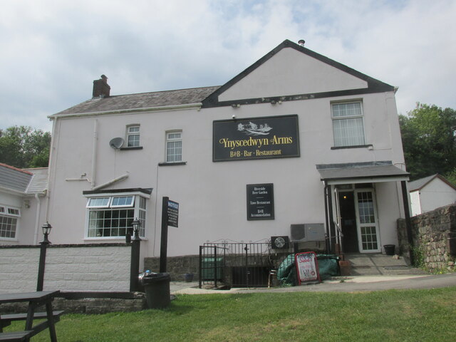
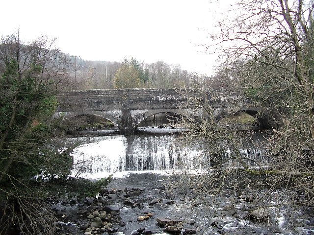
Caeralem Images
Images are sourced within 2km of 51.762236/-3.7645732 or Grid Reference SN7808. Thanks to Geograph Open Source API. All images are credited.
Caeralem is located at Grid Ref: SN7808 (Lat: 51.762236, Lng: -3.7645732)
Unitary Authority: Powys
Police Authority: Dyfed Powys
What 3 Words
///deed.pasta.alerting. Near Ystradgynlais, Powys
Related Wikis

Ystradgynlais Community Hospital
Ystradgynlais Community Hospital (Welsh: Ysbyty Cymunedol Ystradgynlais) is a health facility in Glanrhyd Road, Ystradgynlais, Powys, Wales. It is managed...

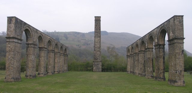
Ynyscedwyn Ironworks
Ynyscedwyn Ironworks is an industrial complex located in Ystradgynlais, near Swansea, Wales. Smelting was first established here in seventeenth century...

Afon Twrch
The Afon Twrch is a river which rises in the Black Mountain in south Wales. It forms the boundary between the counties of Brecknockshire (currently administered...

Ysgol Gymraeg Ystalyfera Bro Dur
Ysgol Gymraeg Ystalyfera Bro Dur is a Welsh-medium comprehensive school in Neath Port Talbot, Wales. The school provides education to three to eighteen...
Nearby Amenities
Located within 500m of 51.762236,-3.7645732Have you been to Caeralem?
Leave your review of Caeralem below (or comments, questions and feedback).