Farteg

Settlement in Brecknockshire

Wales

Farteg

Rocks & Boulders
Rocks & Boulders Credit: Adrian Dust

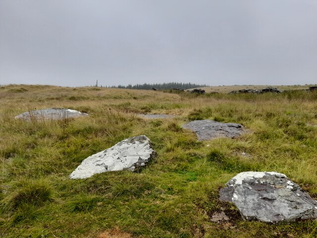
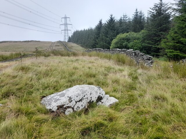
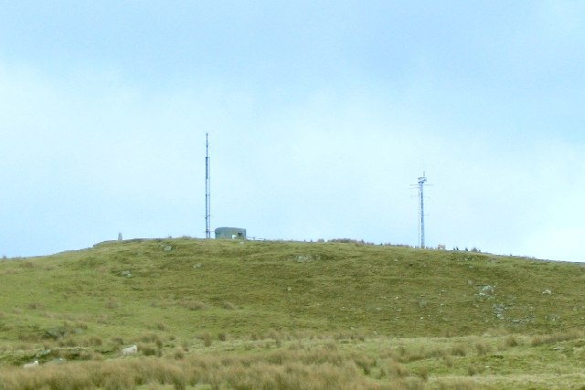
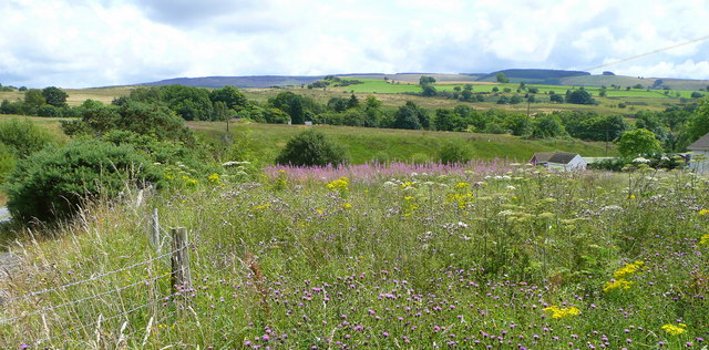
Farteg is a small rural village located in the county of Brecknockshire, Wales. Situated near the Brecon Beacons National Park, Farteg is known for its stunning natural beauty and picturesque surroundings. The village is surrounded by rolling hills, lush green fields, and dense forests, making it a popular destination for outdoor enthusiasts and nature lovers.

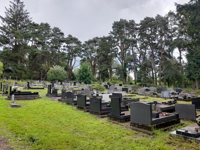
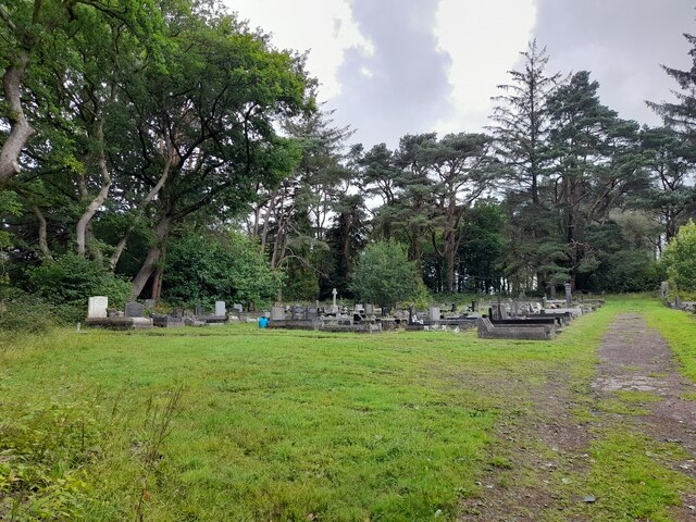
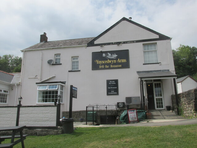
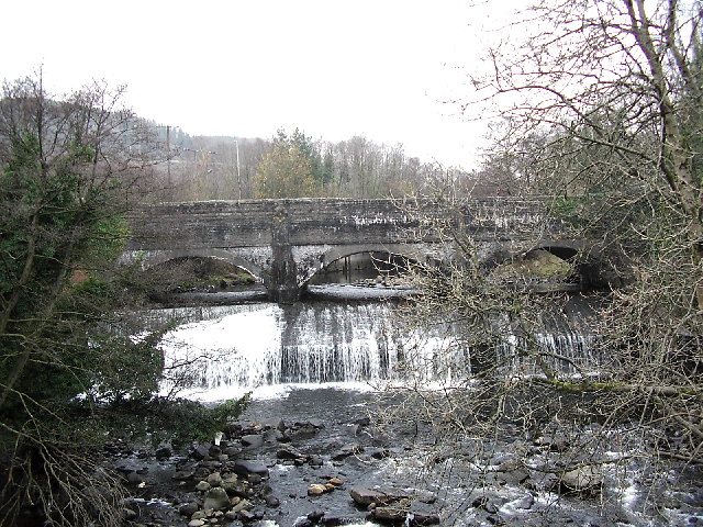
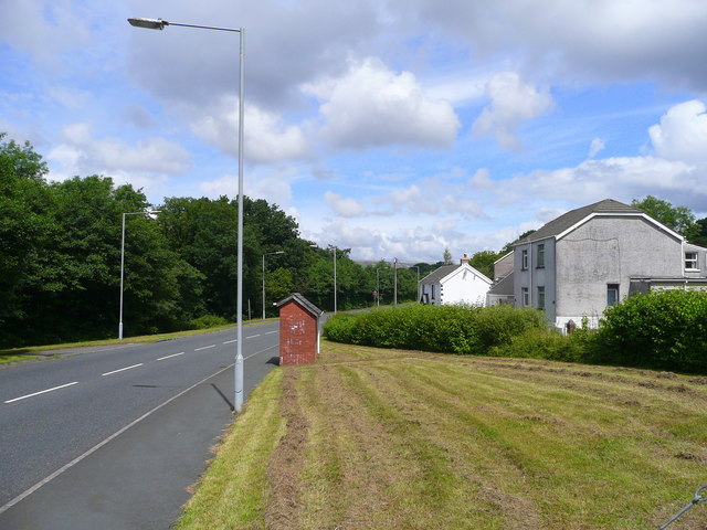
Farteg is a tight-knit community with a population of around 500 residents. The village is mainly residential, with a few local shops and amenities serving the needs of its residents. The village has a rich history, with many historic buildings and landmarks dating back to the medieval period.

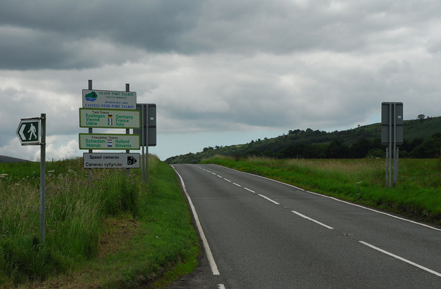
Farteg is well-connected by road, with the A40 running through the village, providing easy access to nearby towns and cities. The village is also served by a local bus service, making it easy for residents to travel to and from the surrounding areas.

Overall, Farteg is a charming and peaceful village, offering a tranquil escape from the hustle and bustle of modern life. Its stunning natural surroundings and friendly community make it a delightful place to visit or call home.

If you have any feedback on the listing, please let us know in the comments section below.
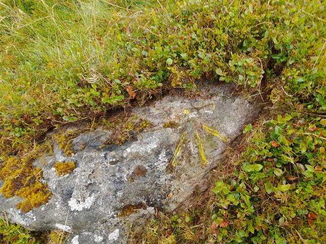
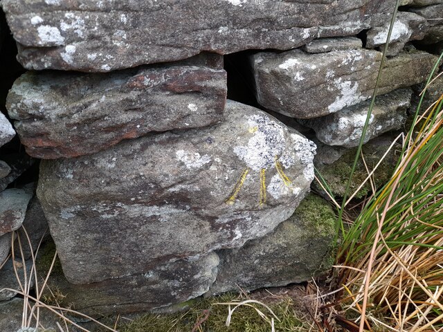
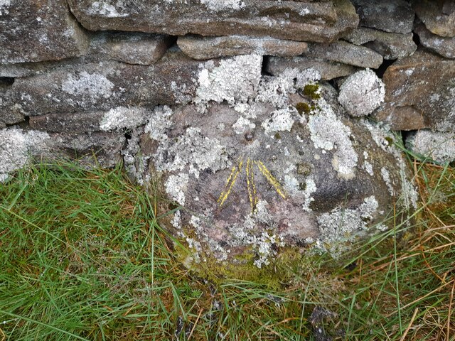
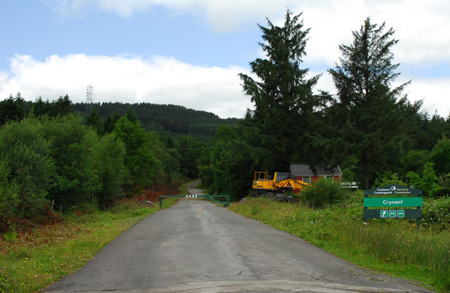
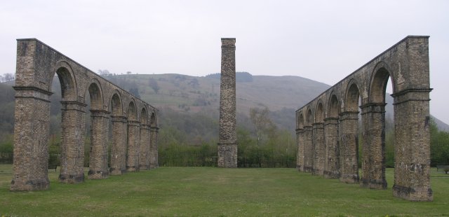
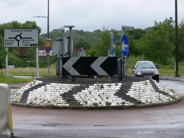
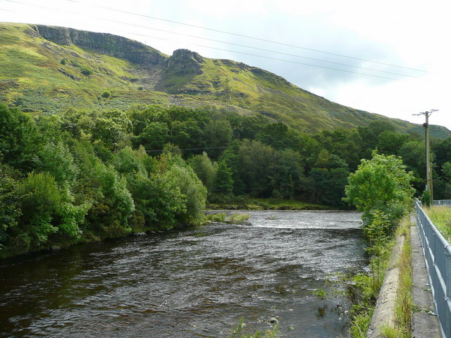
Farteg Images

Images are sourced within 2km of 51.76449/-3.764539 or Grid Reference SN7808. Thanks to Geograph Open Source API. All images are credited.

Rocks & Boulders
Rocks & Boulders
Ordnance Survey Pivot This OS pivot can be found on a rock NE side of the wall. It marks a point 1054.0ft above mean sea level.
Ordnance Survey Pivot
This OS pivot can be found on a rock NE side of the wall. It marks a point 1054.0ft above mean sea level.
Ordnance Survey Pivot This OS pivot can be found at the wall junction. It marks a point 1096.7ft above mean sea level.
Ordnance Survey Pivot
This OS pivot can be found at the wall junction. It marks a point 1096.7ft above mean sea level.
Ordnance Survey Rivet This OS rivet can be found at the base of the wall. It marks a point 344.598m above mean sea level.
Ordnance Survey Rivet
This OS rivet can be found at the base of the wall. It marks a point 344.598m above mean sea level.
Lone Boulder
Lone Boulder
Alltygrug Cemetery
Alltygrug Cemetery
Alltygrug Cemetery
Alltygrug Cemetery
The Ynyscedwyn Arms Public house in Ystradgynlais.
The Ynyscedwyn Arms
Public house in Ystradgynlais.
Varteg Hill Masts and the trig point on Varteg Hill above Ystalyfera
Varteg Hill
Masts and the trig point on Varteg Hill above Ystalyfera
Swansea Canal Aqueduct at Ystalyfera The Ystalyfera aqueduct is reputed to be the first built with waterproof mortar.  The canal has been turned into a cycletrack in Ystalyfera: see <a href="https://www.geograph.org.uk/photo/1482740">SN7709 : On Swansea Canal aqueduct over the Twrch at Gurnos</a>.  The structure was recently renovated at great expense.
The Swansea Canal was constructed by the Swansea Canal Navigation Company between 1794 and 1798, measuring some 16 miles long and running from Swansea to Hen Neuadd Abercraf.
Swansea Canal Aqueduct at Ystalyfera
The Ystalyfera aqueduct is reputed to be the first built with waterproof mortar. The canal has been turned into a cycletrack in Ystalyfera: see SN7709 : On Swansea Canal aqueduct over the Twrch at Gurnos. The structure was recently renovated at great expense. The Swansea Canal was constructed by the Swansea Canal Navigation Company between 1794 and 1798, measuring some 16 miles long and running from Swansea to Hen Neuadd Abercraf.
Steam winch at Ynyscedwyn ironworks The ironworks is represented by preserved arcaded walls and a chimney. This little winch is preserved alongside.
Steam winch at Ynyscedwyn ironworks
The ironworks is represented by preserved arcaded walls and a chimney. This little winch is preserved alongside.
Neath Port Talbot County Boundary on Rhos Common The boundary between the counties of Neath Port Talbot (ahead) and Powys on the road over 'Rhos Common' between Ystradgynlais and Crynant.
Neath Port Talbot County Boundary on Rhos Common
The boundary between the counties of Neath Port Talbot (ahead) and Powys on the road over 'Rhos Common' between Ystradgynlais and Crynant.
Entrance to Crynant Forest Entrance to Crynant Forest from Rhos Common
Entrance to Crynant Forest
Entrance to Crynant Forest from Rhos Common
Ynyscedwyn iron works With the many coal mines in the surrounding area, it was only natural for the heavy industry of metal working to go hand in hand.  Here we see the remains of the victorian Ynyscedwyn iron works, which made use of the revolutionary hot blast process.

The arches and chimney stack are all that remain today of a large factory that sprawled across this area.
Ynyscedwyn iron works
With the many coal mines in the surrounding area, it was only natural for the heavy industry of metal working to go hand in hand. Here we see the remains of the victorian Ynyscedwyn iron works, which made use of the revolutionary hot blast process. The arches and chimney stack are all that remain today of a large factory that sprawled across this area.
Wonky Roundabout Built at odd angles.
Wonky Roundabout
Built at odd angles.
Confluence of the Twrch with the Tawe Looking south towards the hillside of Y Darren Widdon.
Confluence of the Twrch with the Tawe
Looking south towards the hillside of Y Darren Widdon.
Flower-rich countryside Undeveloped land at the north end of Rhos Common near Blaen-y-gors.
Flower-rich countryside
Undeveloped land at the north end of Rhos Common near Blaen-y-gors.
Road to Ystradgynlais Here the road is aligned along the track bed of the former Swansea Vale and Neath and Brecon Junction Railway south of the town.
Road to Ystradgynlais
Here the road is aligned along the track bed of the former Swansea Vale and Neath and Brecon Junction Railway south of the town.
Show me another place!

Farteg is located at Grid Ref: SN7808 (Lat: 51.76449, Lng: -3.764539)

Unitary Authority: Powys

Police Authority: Dyfed Powys

What 3 Words

///crop.recitals.though. Near Ystradgynlais, Powys

Nearby Locations

Farteg Caeralem

Related Wikis

Ystradgynlais Community Hospital

Ystradgynlais Community Hospital (Welsh: Ysbyty Cymunedol Ystradgynlais) is a health facility in Glanrhyd Road, Ystradgynlais, Powys, Wales. It is managed...

Ynyscedwyn Ironworks

Ynyscedwyn Ironworks is an industrial complex located in Ystradgynlais, near Swansea, Wales. Smelting was first established here in seventeenth century...

Ystradgynlais railway station

Ystradgynlais railway station served the town of Ystradgynlais in the traditional county of Breconshire, Wales. Opened in 1869 by the Swansea Vale and...

Ystalyfera railway station

Ystalyfera railway station served the village of Ystalyfera, in the historical county of Glamorganshire, Wales, from 1861 to 1950 on the Swansea Vale Railway...

Nearby Amenities

Located within 500m of 51.76449,-3.764539
Mini Roundabout
Lat/Long: 51.7661803/-3.7683435
Crossing
Crossing: marked
Crossing Ref: zebra
Tactile Paving: yes
Lat/Long: 51.7681747/-3.7656605
Crossing
Crossing: marked
Crossing Ref: zebra
Tactile Paving: yes
Lat/Long: 51.7666786/-3.7704353
Shop: convenience
Lat/Long: 51.7665093/-3.7702729
Fast Food
Cuisine: chinese
Lat/Long: 51.7665657/-3.7704982
Evans Cycles
Opening Hours: Random
Operator: J. Evans
Shop: bicycle
Lat/Long: 51.7661715/-3.768871
Ynyscedwyn Ironworks
Historic: ruins
Loc Name: Old Tin Plate Works
Tourism: attraction
Wikidata: Q26877861
Lat/Long: 51.7682684/-3.7642707
Barrier: kissing_gate
Lat/Long: 51.7662746/-3.7654688
Mini Roundabout
Lat/Long: 51.7680738/-3.7657752
Give Way
Direction: forward
Lat/Long: 51.763965/-3.7573274
Barrier: motorcycle_barrier
Bicycle: yes
Foot: yes
Lat/Long: 51.7650323/-3.7642602
Barrier: kissing_gate
Lat/Long: 51.7665975/-3.7612271
Bench
Backrest: no
Material: wood
Lat/Long: 51.7671677/-3.7610695
Bench
Backrest: yes
Lat/Long: 51.7672463/-3.7625881
Information: board
Tourism: information
Lat/Long: 51.76782/-3.7600584
Waste Basket
Lat/Long: 51.7683432/-3.7619342
Bench
Backrest: yes
Lat/Long: 51.7683715/-3.7618436
Power: pole
Lat/Long: 51.7645134/-3.7582871
Power: pole
Lat/Long: 51.764291/-3.7598053
Power: pole
Lat/Long: 51.7646462/-3.7583247
Power: pole
Lat/Long: 51.7639888/-3.7627584
Power: tower
Lat/Long: 51.7636236/-3.7577802
Power: tower
Lat/Long: 51.7634875/-3.7619698
Power: tower
Lat/Long: 51.7632517/-3.769708
Power: tower
Lat/Long: 51.7633663/-3.765851
Power: pole
Lat/Long: 51.7637215/-3.7646654
Barrier: yes
Fixme: Barrier type and access
Motor Vehicle: no
Lat/Long: 51.7668473/-3.7680572
Direction: SSW
Generator Method: photovoltaic
Generator Output Electricity: yes
Generator Solar Modules: 15
Generator Source: solar
Generator Type: solar_photovoltaic_panel
Location: roof
Power: generator
Lat/Long: 51.7672615/-3.7700198
Power: pole
Lat/Long: 51.7607217/-3.7658885
Power: pole
Lat/Long: 51.7612347/-3.7648344
Power: pole
Lat/Long: 51.7617942/-3.7636945
Power: pole
Lat/Long: 51.7625678/-3.7623426
Barrier: yes
Lat/Long: 51.7682036/-3.7684023
Traffic Calming: cushion
Lat/Long: 51.7667046/-3.7705421
Traffic Calming: cushion
Lat/Long: 51.766645/-3.7702994
Direction: 80
Generator Method: photovoltaic
Generator Output Electricity: yes
Generator Solar Modules: 20
Generator Source: solar
Generator Type: solar_photovoltaic_panel
Location: roof
Power: generator
Lat/Long: 51.7684675/-3.7657422
Place Of Worship
Libanus Church
Note: Ystradgynlais Public Band rehearsal venue.
Religion: christian
Lat/Long: 51.7666651/-3.7676662
The data included in this document is from www.openstreetmap.org. The data is made available under ODbL.

Have you been to Farteg?

Leave your review of Farteg below (or comments, questions and feedback).