Farteg, Y
Settlement in Monmouthshire
Wales
Farteg, Y
Farteg, Y is a small village located in Monmouthshire, Wales. Situated in the eastern part of the county, Farteg is nestled amidst picturesque rolling hills and lush green landscapes, offering a serene and tranquil setting for its residents and visitors.
The village is home to a tight-knit community that prides itself on preserving its rich cultural heritage. With a population of around 500 people, Farteg maintains a close-knit and friendly atmosphere that is characteristic of many rural Welsh villages. The locals are known for their warmth and hospitality, making visitors feel welcome and at home.
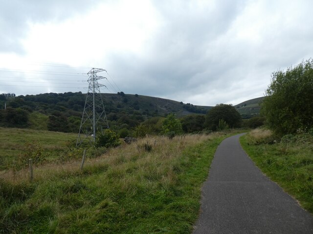
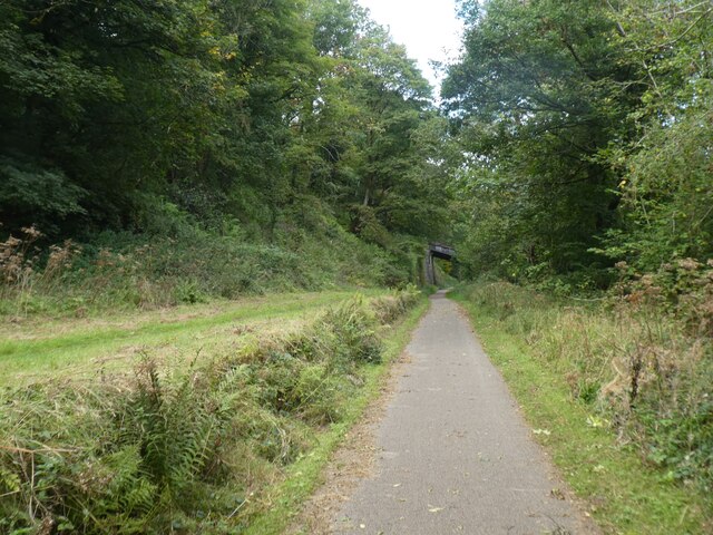
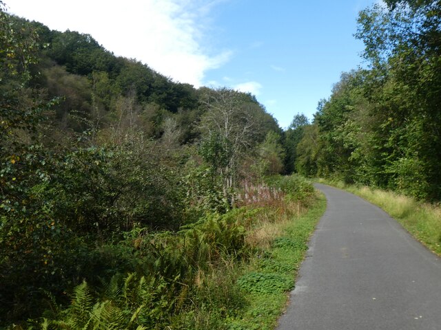
Farteg is surrounded by beautiful countryside, making it an ideal location for outdoor enthusiasts. The nearby Farteg Hill provides stunning panoramic views of the surrounding area and is a popular spot for walking and hiking. The village also boasts several bridleways and footpaths, allowing residents and visitors to explore the natural beauty of the region.
Despite its small size, Farteg has a strong sense of community spirit. The village has a local community hall, which hosts various events and gatherings throughout the year, bringing the residents together. Additionally, there is a small primary school that serves the village and the surrounding area, providing education for the younger generation.
In terms of amenities, Farteg is relatively limited, with no shops or pubs within the village itself. However, the nearby towns of Usk and Pontypool offer a range of services and amenities, including shops, restaurants, and leisure facilities, ensuring that residents have access to everything they need.
Overall, Farteg, Y is a charming village that offers a peaceful and idyllic lifestyle amidst the stunning Welsh countryside. Its close-knit community and natural beauty make it a desirable place to live for those seeking a tranquil retreat away from the bustling city life.
If you have any feedback on the listing, please let us know in the comments section below.
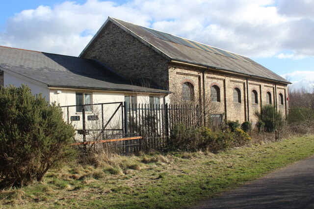
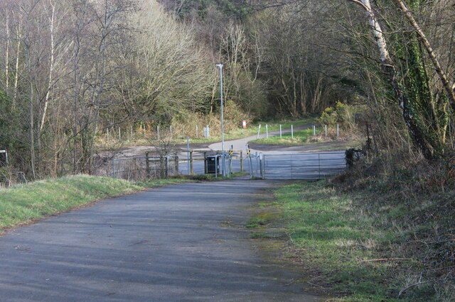
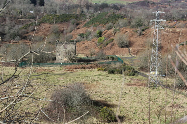
Farteg, Y Images
Images are sourced within 2km of 51.7388/-3.0730807 or Grid Reference SO2605. Thanks to Geograph Open Source API. All images are credited.


Farteg, Y is located at Grid Ref: SO2605 (Lat: 51.7388, Lng: -3.0730807)
Unitary Authority: Torfaen
Police Authority: Gwent
Also known as: Varteg
What 3 Words
///clothed.paler.steams. Near Blaenavon, Torfaen
Nearby Locations
Related Wikis

Garndiffaith
Garndiffaith is a village located in Torfaen, south east Wales. It is a small rural area situated between Talywain and Varteg, three miles north of the...
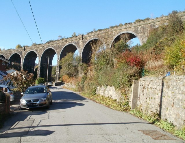
Garndiffaith Viaduct
Garndiffaith Viaduct is a largely stone-built railway viaduct that formerly carried the former Brynmawr and Blaenavon Railway over the valley of the Avon...
Garndiffaith railway station
Garndiffaith railway station (Six Bells) served the village of Garndiffaith, located in Torfaen, south east Wales. Build by the London and North Western...
Talywain
Talywain (Welsh: Talywaun) is situated in Garndiffaith, Abersychan and Pentwyn in Torfaen in south east Wales, within the historic boundaries of Monmouthshire...

Abersychan and Talywain railway station
Abersychan and Talywain station served the town of Abersychan in the Welsh county of Monmouthshire. The station was the meeting point for two major pre...
Varteg
Varteg is a village in the county borough of Torfaen in Wales. == Location == It lies near Abersychan on the hills above the valley of the Afon Llwyd,...
Varteg railway station
Varteg railway station was a railway station which served the village of Varteg, in the county of Monmouthshire, on the Brynmawr and Blaenavon Railway...
Cwmffrwd Halt railway station
Cwmffrwd Halt railway station served the settlement of Victoria Village, near Abersychan, Torfaen, Wales, from 1912 to 1962 on the Eastern Valley branch...
Nearby Amenities
Located within 500m of 51.7388,-3.0730807Have you been to Farteg, Y?
Leave your review of Farteg, Y below (or comments, questions and feedback).