Cae-pant-tywyll
Settlement in Glamorgan
Wales
Cae-pant-tywyll
Cae-pant-tywyll is a small village located in the county of Glamorgan, Wales. It is situated in the southern part of the country, near the town of Bridgend. The village is nestled within a picturesque rural landscape, characterized by rolling hills, green fields, and meandering streams.
Cae-pant-tywyll is known for its tranquil and idyllic setting, making it a popular destination for those seeking a peaceful retreat. The village is predominantly residential, with a small population of friendly and welcoming locals. There are a few amenities available in the village, including a village hall and a local pub, which serves as a gathering place for villagers and visitors alike.
One of the notable features of Cae-pant-tywyll is its proximity to natural beauty spots. The village is surrounded by lush countryside, providing ample opportunities for outdoor activities such as hiking, cycling, and horse riding. The nearby river offers opportunities for fishing and boating enthusiasts.
The history of Cae-pant-tywyll can be traced back centuries, with evidence of human habitation in the area dating back to ancient times. The village has retained some of its historical charm, with a few traditional stone cottages still standing.
Overall, Cae-pant-tywyll is a peaceful and scenic village, perfect for those looking to escape the hustle and bustle of city life and immerse themselves in the beauty of the Welsh countryside.
If you have any feedback on the listing, please let us know in the comments section below.
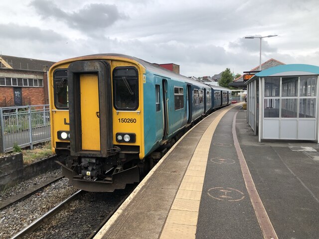
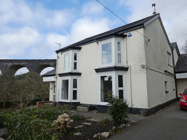
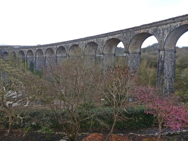
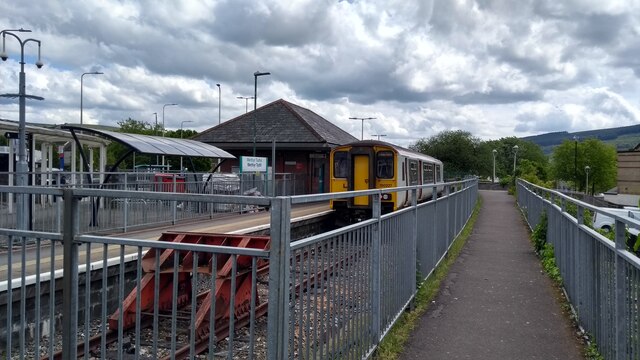
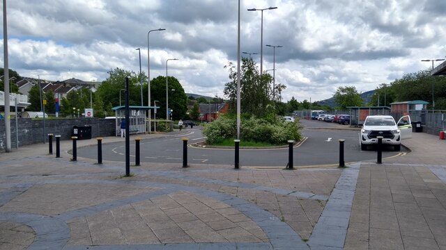
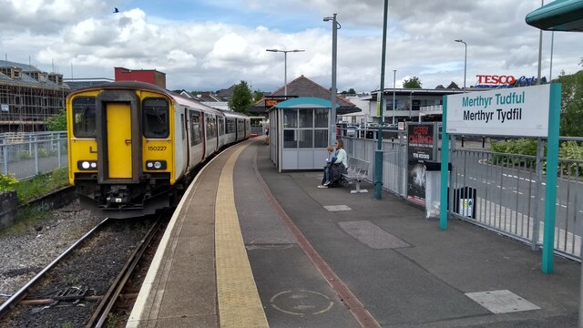
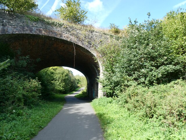
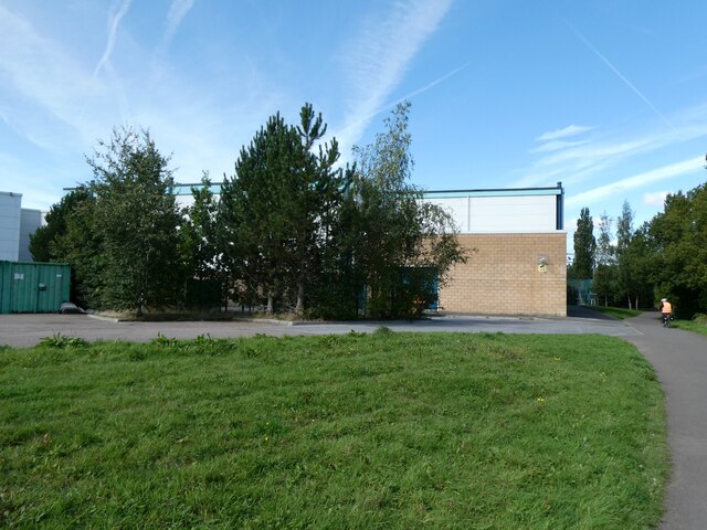
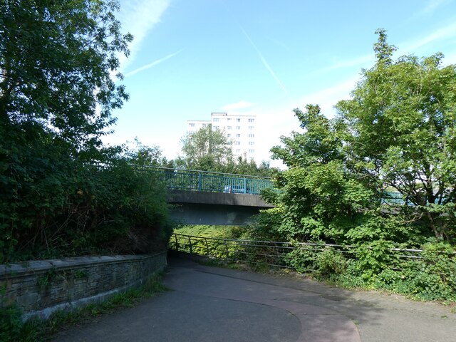
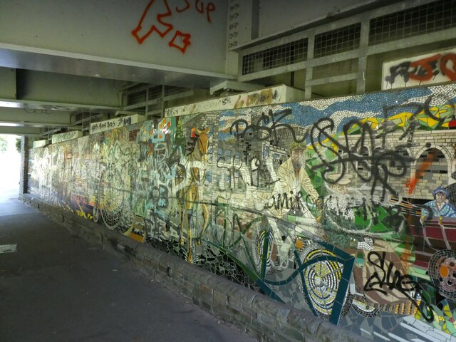
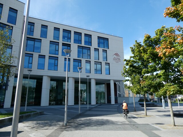
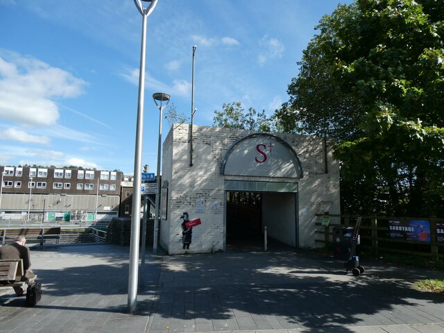
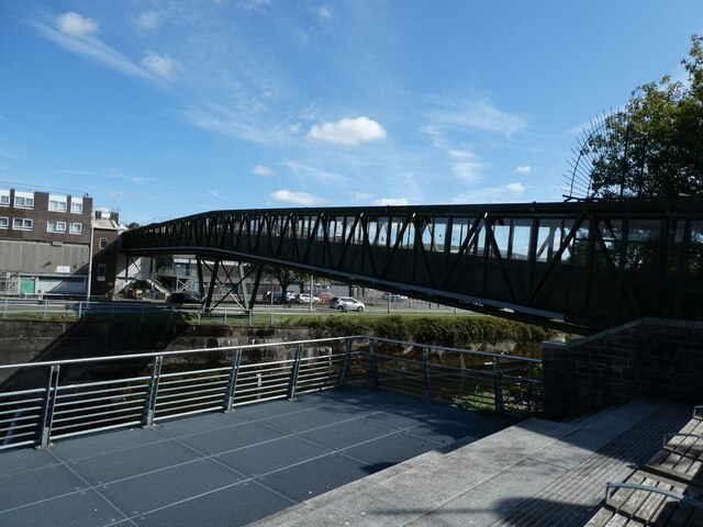
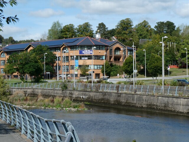
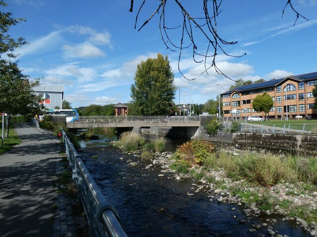
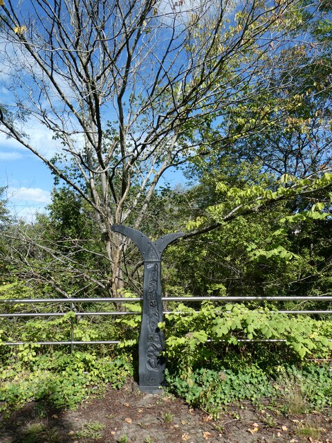
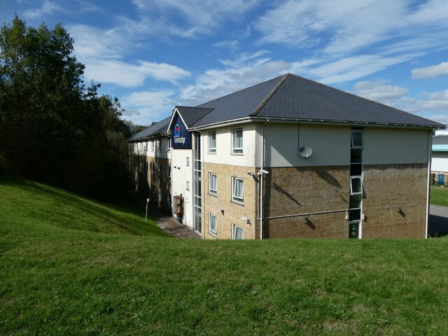
Cae-pant-tywyll Images
Images are sourced within 2km of 51.751154/-3.3828962 or Grid Reference SO0406. Thanks to Geograph Open Source API. All images are credited.

Cae-pant-tywyll is located at Grid Ref: SO0406 (Lat: 51.751154, Lng: -3.3828962)
Unitary Authority: Merthyr Tydfil
Police Authority: South Wales
What 3 Words
///rams.verge.broke. Near Merthyr Tydfil
Nearby Locations
Related Wikis

Glamorganshire Canal
The Glamorganshire Canal in South Wales, UK, was begun in 1790. It ran along the valley of the River Taff from Merthyr Tydfil to the sea at Cardiff. The...

Merthyr Tydfil County Borough
Merthyr Tydfil County Borough (Welsh: Bwrdeistref Sirol Merthyr Tudful) is a county borough (since 1908) in the south-east of Wales. In mid 2018, it had...
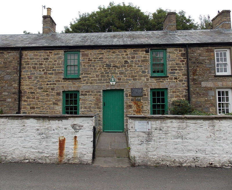
Joseph Parry's Cottage
Joseph Parry's Cottage, also known as 4 Chapel Row, is a cottage located in Merthyr Tydfil, in South Wales. Built in the early 19th century for ironworkers...

Bethesda Chapel, Merthyr Tydfil
Bethesda, Merthyr Tydfil was one of the earliest chapels in the Welsh industrial town of Merthyr Tydfil. Services were held in the Welsh language. ��2...

Penydarren Park
Penydarren Park is a sports stadium in Merthyr Tydfil, Wales, that is the present home ground of Merthyr Town Historically used for varying sports, it...
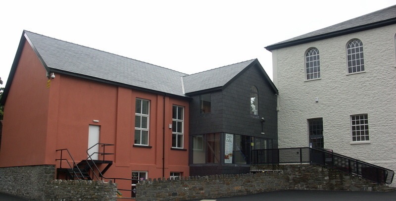
Canolfan Soar
Canolfan Soar is a Grade II-listed community facility in Merthyr Tydfil, Wales, that includes a theatre and other facilities. It was converted from the...
Merthyr Tydfil Law Courts
Merthyr Tydfil Law Courts is a Crown Court venue which deals with criminal cases, as well as a County Court, which deals with civil cases, in Glebeland...

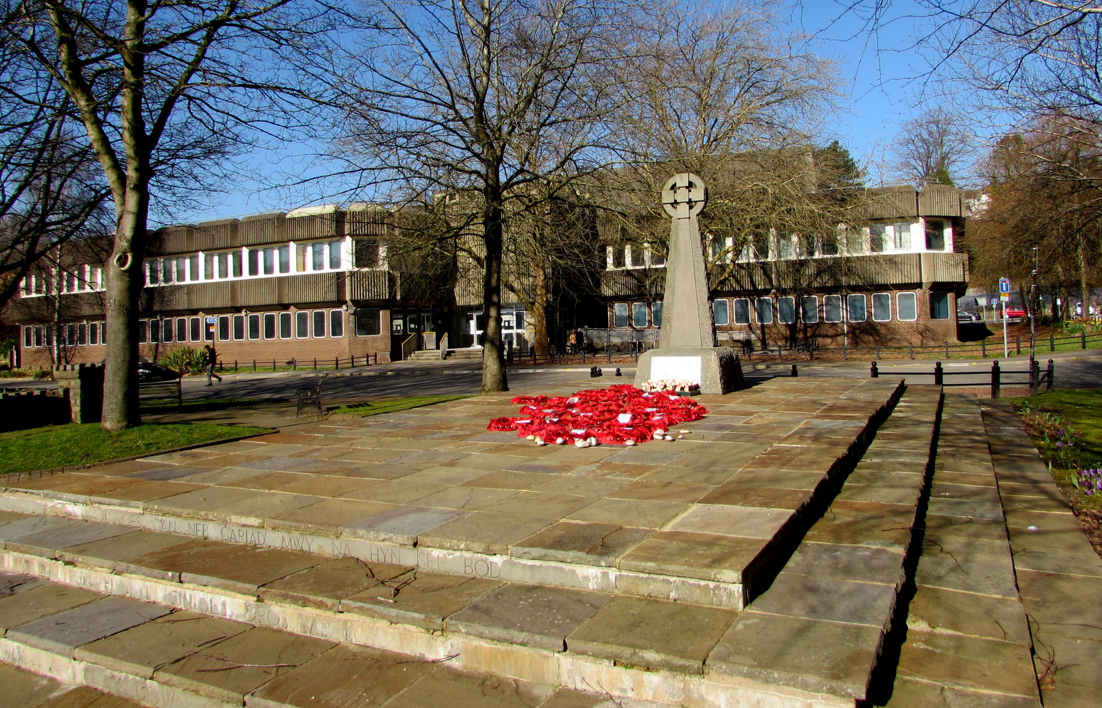
Merthyr Tydfil Town Hall
Merthyr Tydfil Town Hall (Welsh: Neuadd y Dref Merthyr Tudful) is a municipal building in the High Street, Merthyr Tydfil, South Wales. The town hall,...
Nearby Amenities
Located within 500m of 51.751154,-3.3828962Have you been to Cae-pant-tywyll?
Leave your review of Cae-pant-tywyll below (or comments, questions and feedback).