Burton
Settlement in Northumberland
England
Burton
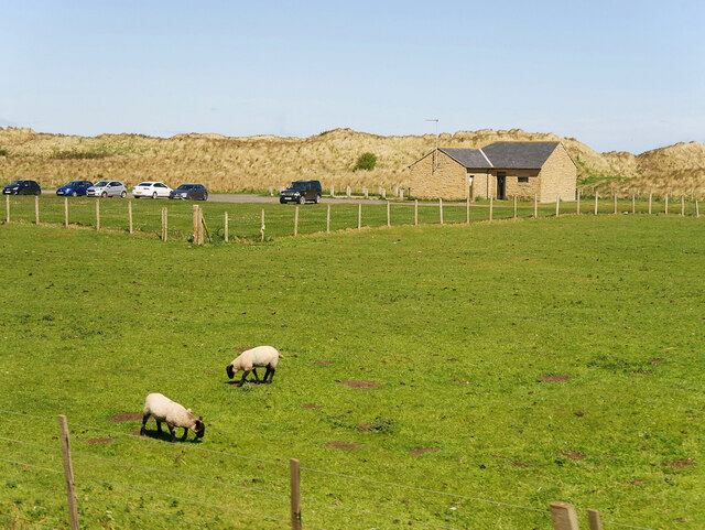
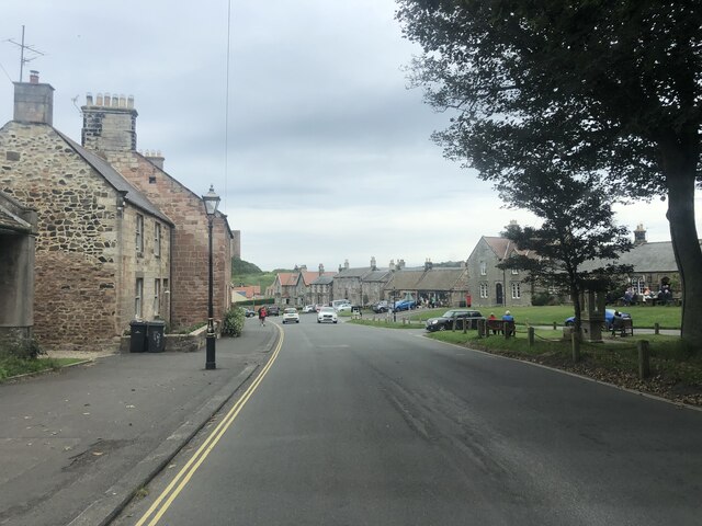
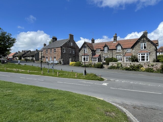
Burton is a small village located in the county of Northumberland, in northeastern England. Situated near the banks of the River Till, it is nestled within the picturesque countryside and is surrounded by rolling hills and meadows. The village is part of the larger parish of Crookham.
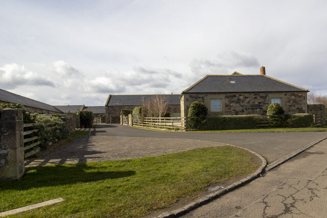
With a population of around 200 residents, Burton offers a peaceful and idyllic setting for those seeking a tranquil rural lifestyle. The village is primarily residential, with a few local amenities including a village hall, a church, and a primary school. The local community is friendly and welcoming, fostering a strong sense of belonging.
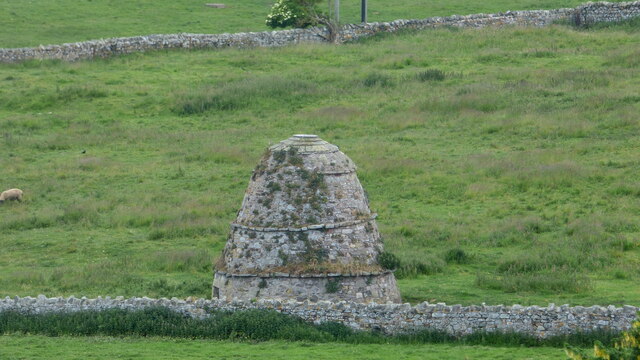
Historically, Burton has roots dating back to the medieval period, and remnants of its rich past can still be seen today. The village is known for its charming stone cottages, which add to its traditional and timeless character. In the surrounding area, there are several archaeological sites, including a Roman fortlet and a prehistoric hill fort, indicating the region's long history of human settlement.
Nature enthusiasts will find plenty to explore in and around Burton. The nearby Till Valley is a haven for wildlife, with its meandering river and diverse habitats supporting a variety of bird species, making it a popular spot for birdwatching. The village is also within easy reach of the Northumberland National Park and the stunning Northumberland Coast, offering opportunities for outdoor activities such as hiking, cycling, and beach walks.
Overall, Burton, Northumberland, is a charming and peaceful village that allows residents and visitors alike to enjoy the beauty of the English countryside and immerse themselves in its rich history.
If you have any feedback on the listing, please let us know in the comments section below.
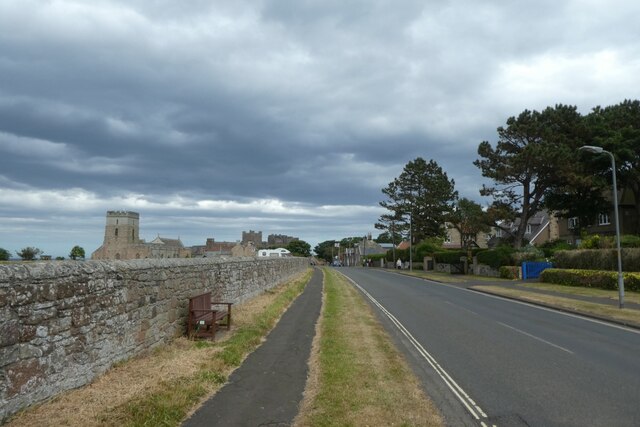
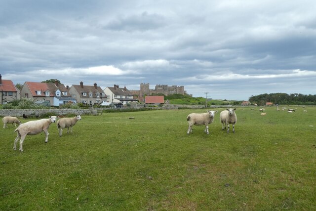
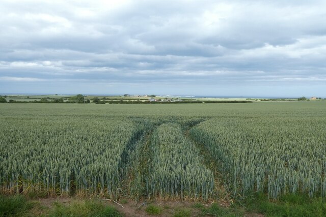
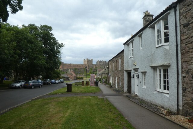
Burton Images
Images are sourced within 2km of 55.589949/-1.7167196 or Grid Reference NU1732. Thanks to Geograph Open Source API. All images are credited.
Burton is located at Grid Ref: NU1732 (Lat: 55.589949, Lng: -1.7167196)
Unitary Authority: Northumberland
Police Authority: Northumbria
What 3 Words
///craziest.chapels.developed. Near Bamburgh, Northumberland
Nearby Locations
Related Wikis

Burton, Northumberland
Burton is a hamlet and former civil parish, now in the parish of Bamburgh, in the county of Northumberland, England. It is situated to the south of the...

Glororum
Glororum is a hamlet and former civil parish, now in the parish of Bamburgh in the county of Northumberland, England, about 1.25 miles (2.01 km) south...

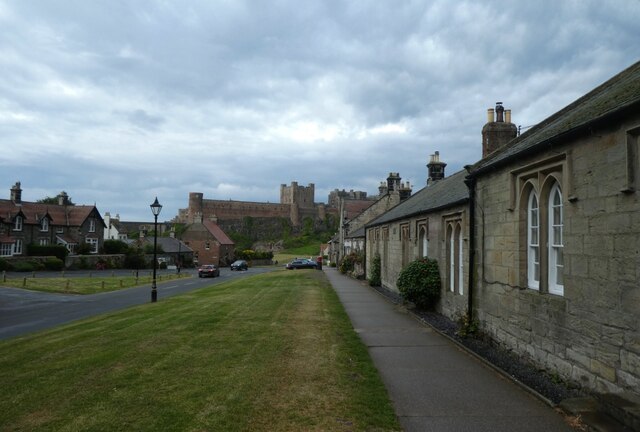
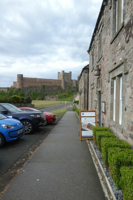
Bamburgh
Bamburgh ( BAM-bər-ə) is a village and civil parish on the coast of Northumberland, England. It had a population of 454 in 2001, decreasing to 414 at the...
Bradford Kames
Bradford Kames is the name given to a Site of Special Scientific Interest (SSSI) in north Northumberland, England. The site is an esker, a ridge of glacial...

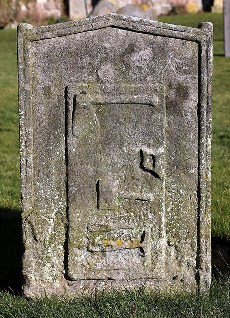
Monument to Grace Darling
The Monument to Grace Darling, in the churchyard of St Aidan's Church, Bamburgh, Northumberland is a Victorian Gothic memorial. The monument was designed...
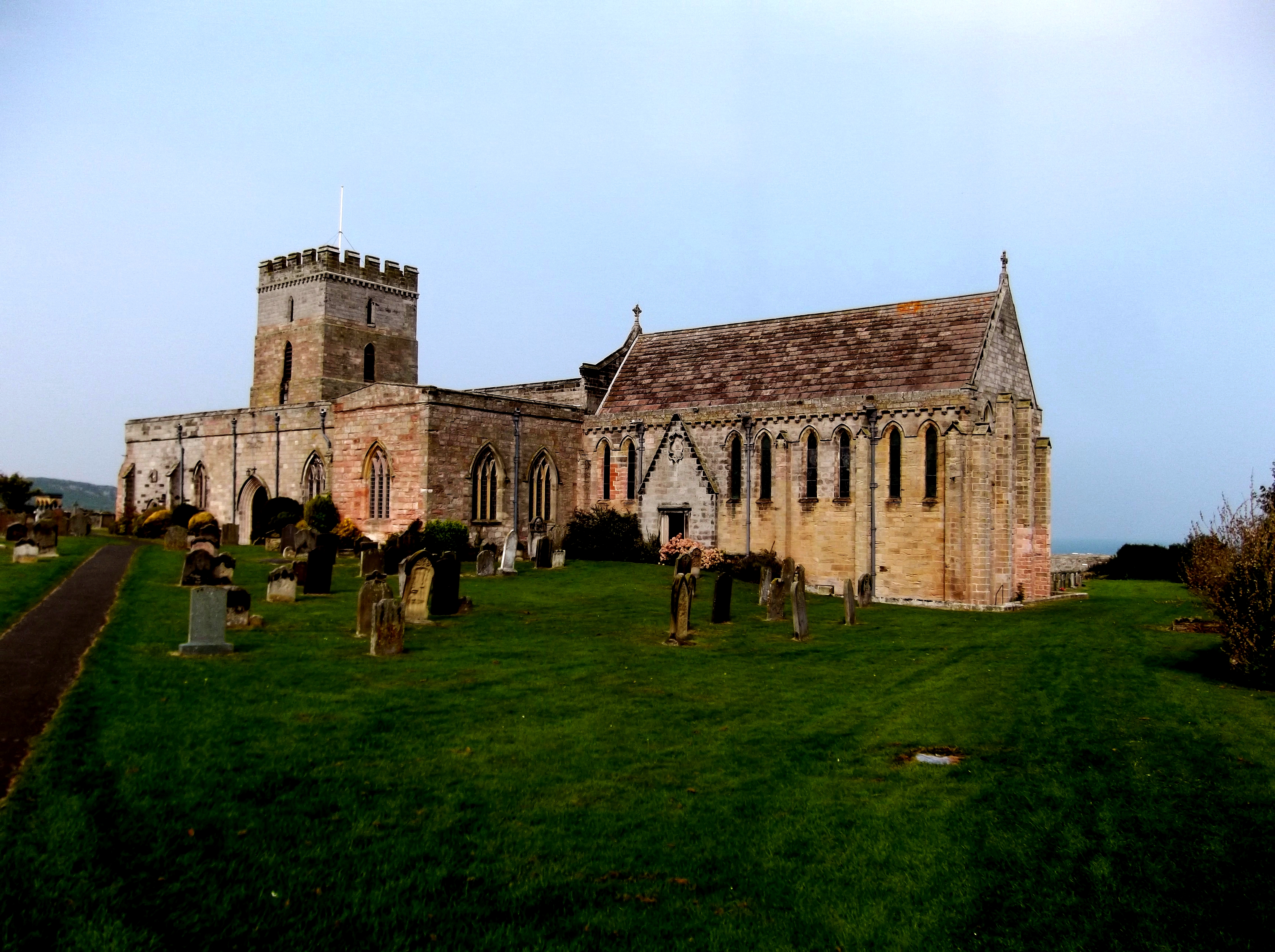
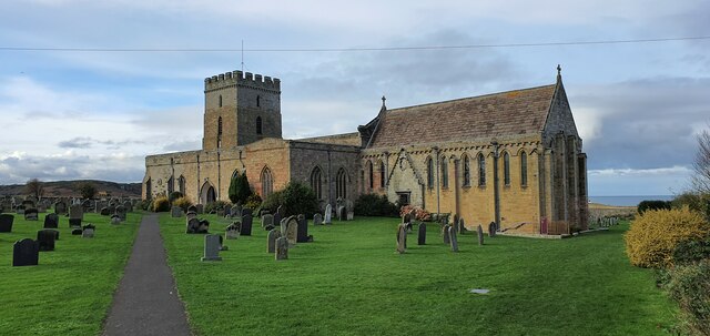
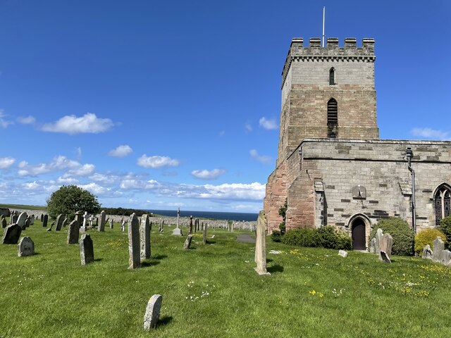
St Aidan's Church, Bamburgh
St Aidan's Church is a Grade I listed Church of England building in the Diocese of Newcastle. == History == According to Bede, St Aidan built a wooden...
Brada Hill
Brada Hill is a small hill escarpment near the coast of north Northumberland in North East England, designated as a Site of Special Scientific Interest...
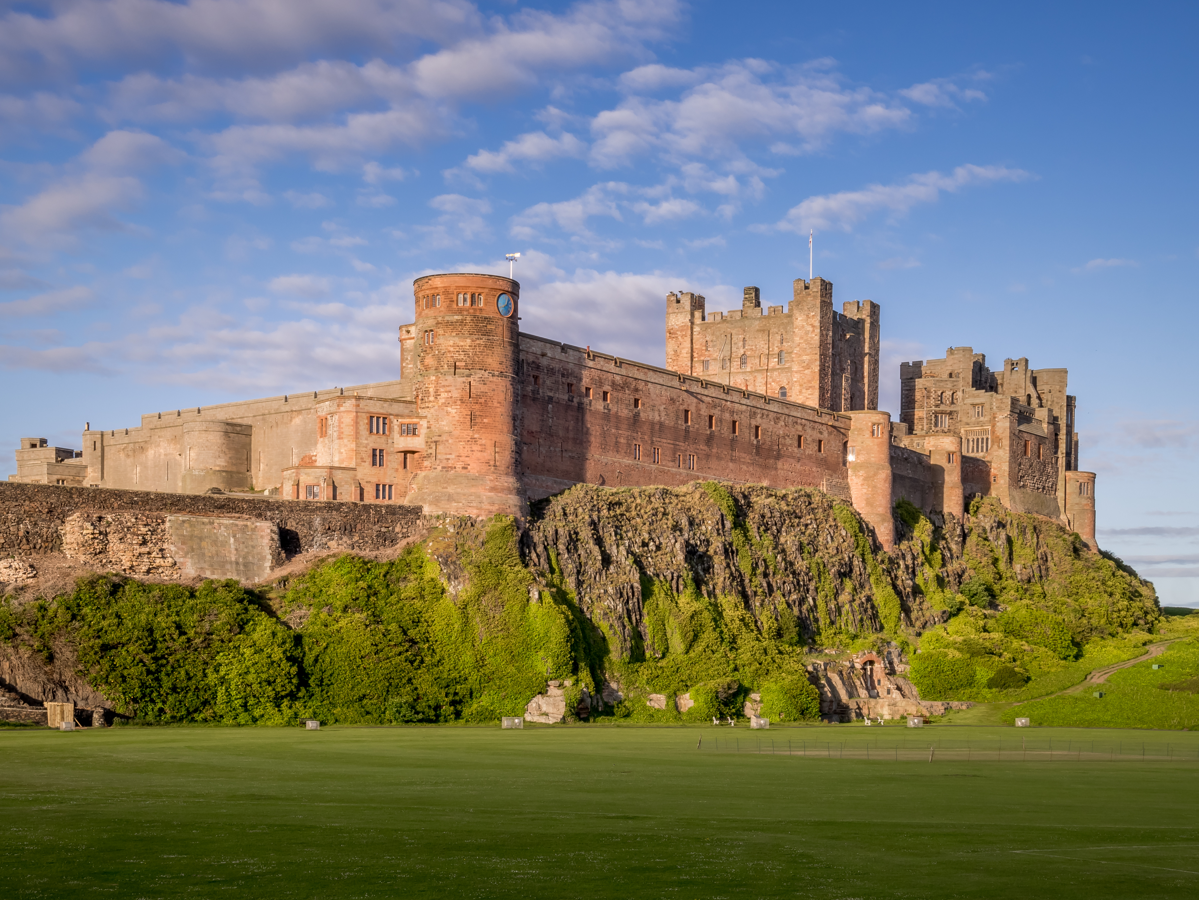
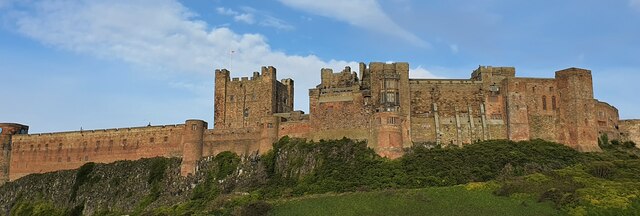
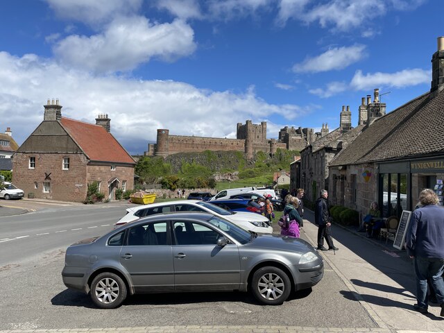
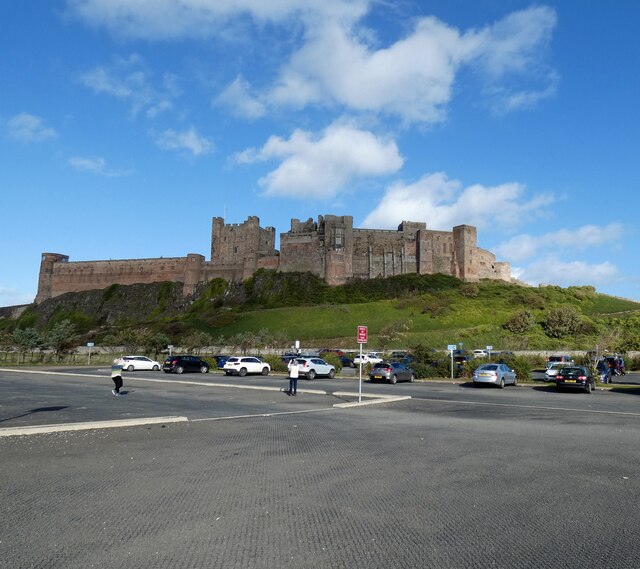
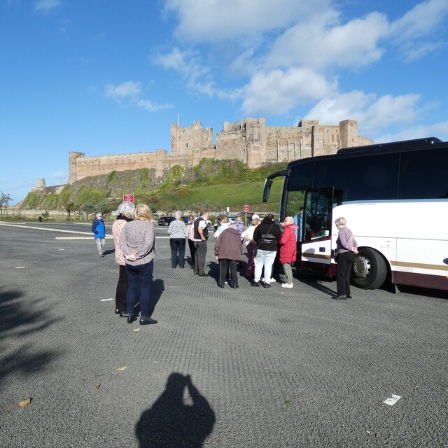
Bamburgh Castle
Bamburgh Castle is a castle on the northeast coast of England, by the village of Bamburgh in Northumberland. It is a Grade I listed building.The site was...
Nearby Amenities
Located within 500m of 55.589949,-1.7167196Have you been to Burton?
Leave your review of Burton below (or comments, questions and feedback).