Burrow's Bush
Settlement in Northamptonshire
England
Burrow's Bush

Burrow's Bush is a small village located in Northamptonshire, England. Nestled in the heart of the picturesque countryside, this rural settlement offers a tranquil and idyllic setting for residents and visitors alike. With a population of around 300 individuals, Burrow's Bush is known for its tight-knit community and friendly atmosphere.
The village is characterized by its traditional English architecture, featuring charming thatched cottages and historic buildings. The surrounding landscape is dotted with rolling hills, lush green fields, and meandering streams, providing a stunning backdrop for outdoor activities such as walking, cycling, and picnicking.
Despite its small size, Burrow's Bush boasts a range of amenities and services to cater to the needs of its residents. These include a local pub, a village hall, a primary school, and a post office. The pub acts as a social hub for the community, offering a welcoming environment for locals to gather and enjoy a drink or a meal.
The village is conveniently located near larger towns and cities, making it an ideal place to live for those seeking a peaceful rural lifestyle while still having access to urban amenities. Northampton, the county town of Northamptonshire, is just a short drive away and offers a wide range of shopping, dining, and entertainment options.
Overall, Burrow's Bush is a charming and picturesque village that provides an escape from the hustle and bustle of city life. With its close-knit community, natural beauty, and convenient location, it offers a delightful retreat for both residents and visitors.
If you have any feedback on the listing, please let us know in the comments section below.
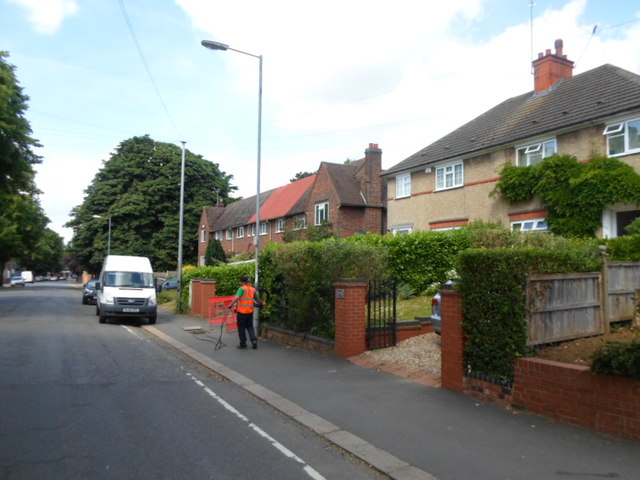
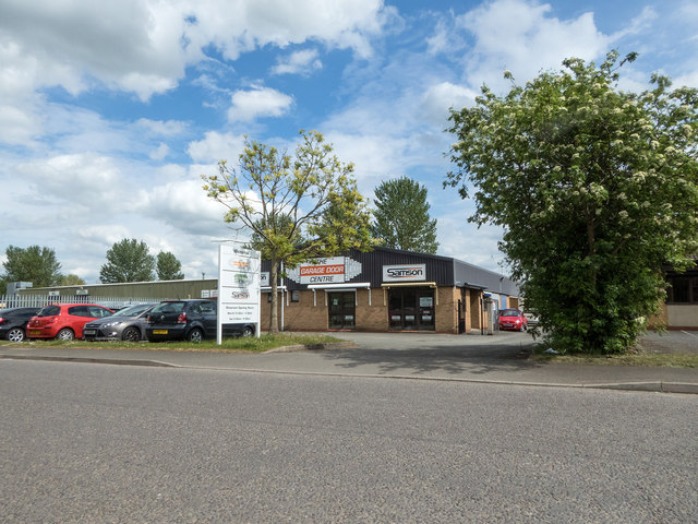
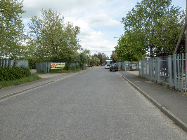
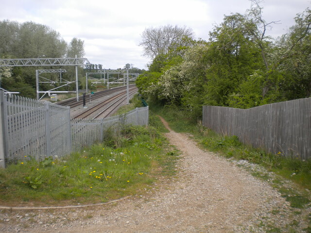
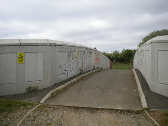
Burrow's Bush Images
Images are sourced within 2km of 52.312449/-0.68638232 or Grid Reference SP8969. Thanks to Geograph Open Source API. All images are credited.
Burrow's Bush is located at Grid Ref: SP8969 (Lat: 52.312449, Lng: -0.68638232)
Unitary Authority: North Northamptonshire
Police Authority: Northamptonshire
What 3 Words
///shells.means.forms. Near Wellingborough, Northamptonshire
Nearby Locations
Related Wikis

Hemmingwell
Hemmingwell is a medium sized, densely populated council estate in Wellingborough, Northamptonshire, England. The area had a population of 8,272 at the...
Sir Christopher Hatton Academy
Sir Christopher Hatton Academy (formerly Sir Christopher Hatton School) is an 11–18 mixed, secondary school and sixth form with academy status in Wellingborough...
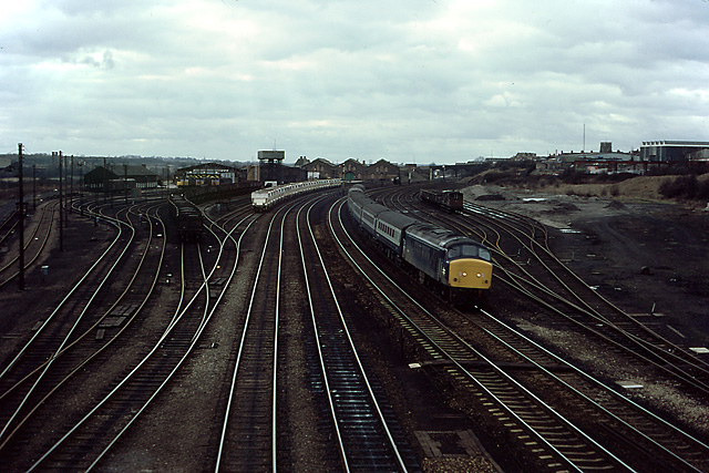
Wellingborough Loco Shed
Wellingborough Loco Shed was a stabling point located in Wellingborough, Northamptonshire, England. The depot was situated on the Midland Main Line and...

Our Lady of the Sacred Heart Church, Wellingborough
Our Lady of the Sacred Heart Church is a Roman Catholic parish church in Wellingborough, Northamptonshire, England. It was built from 1884 to 1886 by Samuel...
Nearby Amenities
Located within 500m of 52.312449,-0.68638232Have you been to Burrow's Bush?
Leave your review of Burrow's Bush below (or comments, questions and feedback).