Burnham Westgate

Settlement in Norfolk King's Lynn and West Norfolk

England

Burnham Westgate

In All Saints Graveyard This gravestone marks the burial site of Martha and Mary Moxon, daughter and mother. Martha died in 1780, age 20 years, with Mary living until 1793 and 70 years of age. The stone records the two people side by side.
Carved across the top are a shining urn and two cherubs, which might be winged souls indicating the rise of the deceased to Heaven.
In All Saints Graveyard Credit: Mary and Angus Hogg

Burnham Westgate is a small village located in the county of Norfolk, England. It is situated approximately 5 miles east of the popular coastal town of Hunstanton and about 25 miles northwest of the city of King's Lynn. The village lies within the district of King's Lynn and West Norfolk.

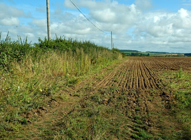
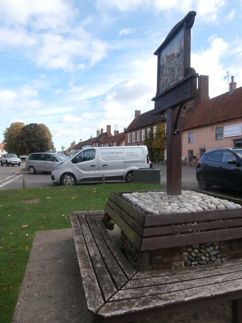
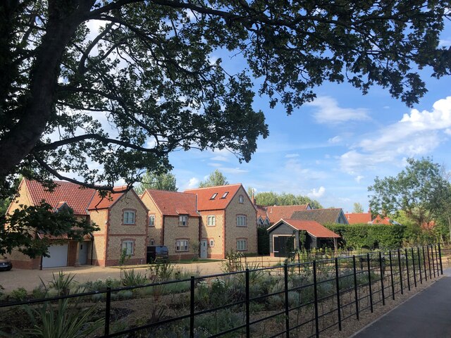
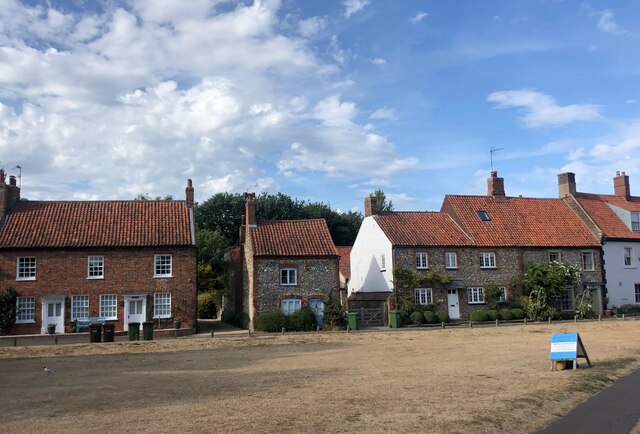
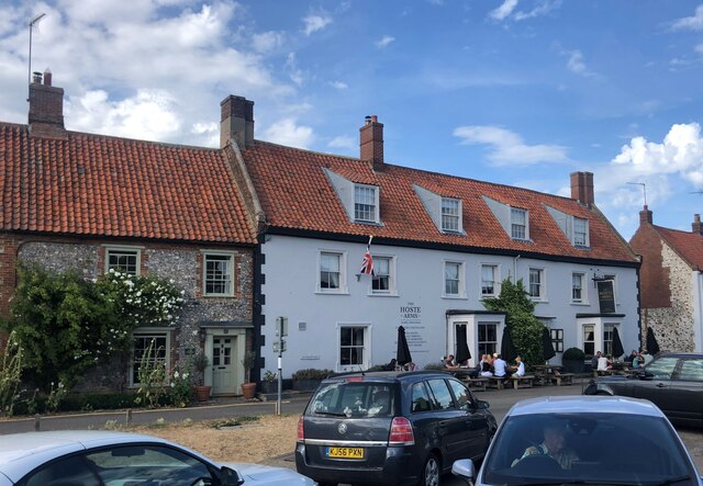
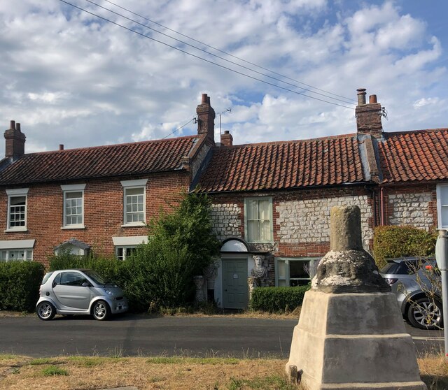
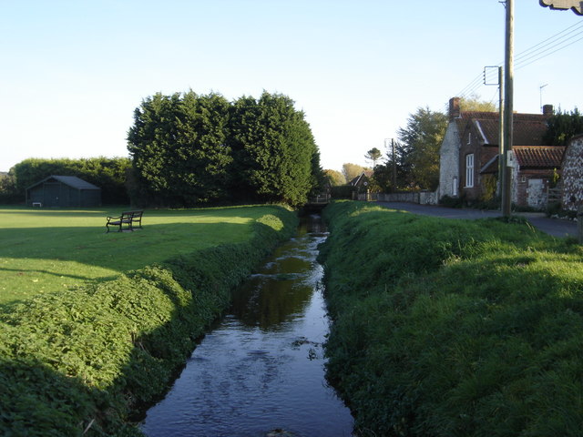
With a population of around 200 residents, Burnham Westgate is a quiet and picturesque village known for its charming rural setting. It is surrounded by rolling countryside and farmland, offering scenic views and a tranquil atmosphere. The village itself is characterized by a mix of traditional brick and flint cottages, as well as more modern houses.

Despite its small size, Burnham Westgate has a strong sense of community and is home to a few local amenities including a village hall and a popular pub. The village hall serves as a hub for various community activities and events, while the pub provides a gathering place for locals and visitors alike.

In terms of attractions, Burnham Westgate benefits from its proximity to the beautiful Norfolk coastline. The popular resort town of Hunstanton is just a short drive away, offering sandy beaches, seaside attractions, and a range of amenities. Additionally, the village is surrounded by numerous nature reserves and walking trails, making it an ideal location for outdoor enthusiasts.

Overall, Burnham Westgate is a charming and peaceful village that offers a rural escape while still being within easy reach of nearby towns and attractions.

If you have any feedback on the listing, please let us know in the comments section below.

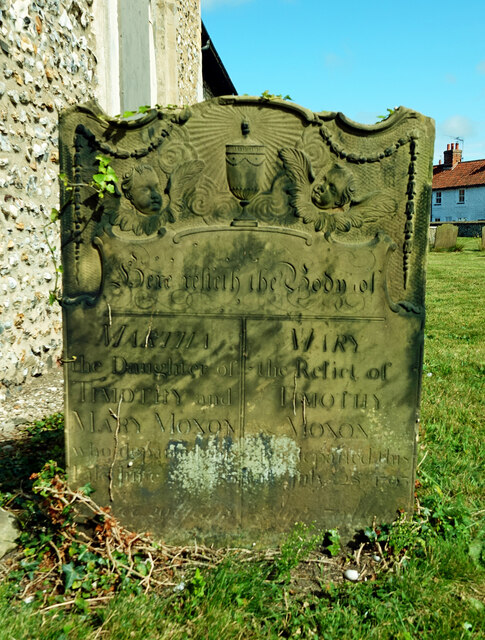
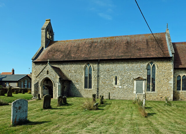
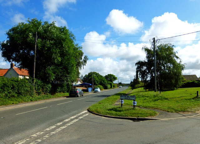
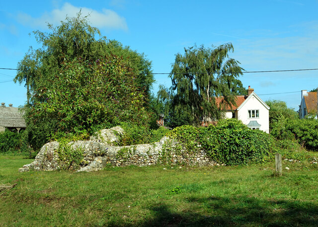
Burnham Westgate Images

Images are sourced within 2km of 52.942974/0.71653914 or Grid Reference TF8241. Thanks to Geograph Open Source API. All images are credited.

In All Saints Graveyard This gravestone marks the burial site of Martha and Mary Moxon, daughter and mother. Martha died in 1780, age 20 years, with Mary living until 1793 and 70 years of age. The stone records the two people side by side.
Carved across the top are a shining urn and two cherubs, which might be winged souls indicating the rise of the deceased to Heaven.
In All Saints Graveyard
This gravestone marks the burial site of Martha and Mary Moxon, daughter and mother. Martha died in 1780, age 20 years, with Mary living until 1793 and 70 years of age. The stone records the two people side by side. Carved across the top are a shining urn and two cherubs, which might be winged souls indicating the rise of the deceased to Heaven.
All Saints Church, Burnham Sutton cum Ulph During the 18th century the Reverend Nelson, father of Horatio, advised that the parish could no longer maintain its two churches. This resulted in Burnham Sutton church being demolished and the two congregations being amalgamated using the All Saints building.
All Saints Church, Burnham Sutton cum Ulph
During the 18th century the Reverend Nelson, father of Horatio, advised that the parish could no longer maintain its two churches. This resulted in Burnham Sutton church being demolished and the two congregations being amalgamated using the All Saints building.
Beacon Hill Road Viewed at the junction with Creake Road.
Beacon Hill Road
Viewed at the junction with Creake Road.
St Ethelbert’s Church ruins <a href="https://www.geograph.org.uk/photo/2047694">TF8341 : The ruins of St Ethelbert's church in Burnham Sutton</a> gives useful information about this site. The church was dedicated to St Ethelbert, an 8th century king of East Anglia.
St Ethelbert’s Church ruins
TF8341 : The ruins of St Ethelbert's church in Burnham Sutton gives useful information about this site. The church was dedicated to St Ethelbert, an 8th century king of East Anglia.
Fields near Burnham Market Already harvested and re-ploughed for the next crop.
Fields near Burnham Market
Already harvested and re-ploughed for the next crop.
In St Clement’s graveyard A simple coffin-shaped stone marks this grave. The surface was too badly weathered to make out any of the inscription.
In St Clement’s graveyard
A simple coffin-shaped stone marks this grave. The surface was too badly weathered to make out any of the inscription.
St Clement’s gravestone This stone marks the grave of Samuel Brookbank who died in 1776. The carving shows a beautiful winged soul that represents Samuel’s rise to Heaven.
St Clement’s gravestone
This stone marks the grave of Samuel Brookbank who died in 1776. The carving shows a beautiful winged soul that represents Samuel’s rise to Heaven.
In St Clement’s graveyard, Burnham Overy The skulls on this 18th century stone represent man’s mortality while the central cherub, or winged soul, indicates Heavenly life after death.
In St Clement’s graveyard, Burnham Overy
The skulls on this 18th century stone represent man’s mortality while the central cherub, or winged soul, indicates Heavenly life after death.
A carved stone in St Clement’s graveyard A lovely carved headstone marks this 18th century grave. The skull and crossed bones represent death and remind the passer-by that earthly life is limited. The two cherub-like faces may actually be winged souls which represent the rise of the deceased up to Heaven.
A carved stone in St Clement’s graveyard
A lovely carved headstone marks this 18th century grave. The skull and crossed bones represent death and remind the passer-by that earthly life is limited. The two cherub-like faces may actually be winged souls which represent the rise of the deceased up to Heaven.
St Clement’s Church, Burnham Overy Town There has been a church on this site since the 12th century. The Grade 1 listed building has been completely restored.
St Clement’s Church, Burnham Overy Town
There has been a church on this site since the 12th century. The Grade 1 listed building has been completely restored.
Village sign, Burnham Market This village sign has been combined with a four-sided bench, where you can rest after buying books, delicatessen goods and green wellies, all of which can be purchased in the eponymous Market Place. Behind the sign the former Grooms Bakery is now Bombay Sprout <span class="nowrap"><a title="https://bombaysprout.com/" rel="nofollow ugc noopener" href="https://bombaysprout.com/">Link</a><img style="margin-left:2px;" alt="External link" title="External link - shift click to open in new window" src="https://s1.geograph.org.uk/img/external.png" width="10" height="10"/></span> and Aurina <span class="nowrap"><a title="https://burnhammarket.co.uk/aurina/" rel="nofollow ugc noopener" href="https://burnhammarket.co.uk/aurina/">Link</a><img style="margin-left:2px;" alt="External link" title="External link - shift click to open in new window" src="https://s1.geograph.org.uk/img/external.png" width="10" height="10"/></span> , both homewares shops.
Village sign, Burnham Market
This village sign has been combined with a four-sided bench, where you can rest after buying books, delicatessen goods and green wellies, all of which can be purchased in the eponymous Market Place. Behind the sign the former Grooms Bakery is now Bombay Sprout LinkExternal link and Aurina LinkExternal link , both homewares shops.
New housing development at Burnham Market
St Mary's Church, Burnham Market Parish church of Burnham Westgate. Largely C14, with a heavy restoration
of 1872 accounting for most exterior details. Flint with stone dressings. Listed Grade 1
St Mary's Church, Burnham Market
Parish church of Burnham Westgate. Largely C14, with a heavy restoration of 1872 accounting for most exterior details. Flint with stone dressings. Listed Grade 1
Houses on The Green, Burnham Market
The Hoste Arms, Burnham Market Grade II listed public house on The Green
The Hoste Arms, Burnham Market
Grade II listed public house on The Green
Wayside Cross, Burnham Overy The remains of the village Cross at the junction of Mill Road and Wells Road. Grade II listed
Wayside Cross, Burnham Overy
The remains of the village Cross at the junction of Mill Road and Wells Road. Grade II listed
Gatekeeper Butterfly (Pyronia tithonus)  Also known as the Hedge Brown butterfly, the Gatekeeper is fond of brambly hedgerows. This is a male butterfly
Gatekeeper Butterfly (Pyronia tithonus)
Also known as the Hedge Brown butterfly, the Gatekeeper is fond of brambly hedgerows. This is a male butterfly
New large shed Near the junction of Joan Short's Lane and Walsingham Road
New large shed
Near the junction of Joan Short's Lane and Walsingham Road
Show me another place!

Burnham Westgate is located at Grid Ref: TF8241 (Lat: 52.942974, Lng: 0.71653914)

Administrative County: Norfolk

District: King's Lynn and West Norfolk

Police Authority: Norfolk

What 3 Words

///dentistry.dispensed.candles. Near Wells-next-the-Sea, Norfolk

Related Wikis

Burnham Westgate Hall

Burnham Westgate Hall is a Georgian country house near Burnham Market, Norfolk, about 2 mi (3.2 km) south of the north Norfolk coast. It was remodelled...

Burnham Market

Burnham Market is an English village and civil parish near the north coast of Norfolk. It is one of the Burnhams, a group of three adjacent villages that...

Burnham Market railway station

Burnham Market was a railway station which served the village of Burnham Market in Norfolk, England. Opened by the West Norfolk Junction railway in 1866...

St Margaret's Church, Burnham Norton

St Margaret's Church is a round-tower church in Burnham Norton, Norfolk, England. Likely to have been built in the 11th century, the building retains many...

Burnham Norton Friary

Burnham Norton Friary was a Carmelite (White Friars) friary near Burnham Market in Norfolk, England. It is now a ruin. The friary was founded by Sir William...

Norfolk Burnhams

The Norfolk Burnhams are a group of adjacent villages on the north coast of Norfolk, England. The villages are located near a large natural bay named Brancaster...

Burnham Norton

Burnham Norton is a village and civil parish in the English county of Norfolk, one of the Burnhams, an adjacent group in the northernmost part of Norfolk...

River Burn, Norfolk

The River Burn (also known as "Nelsons River") is a river in the northwest of the County of Norfolk, in the East of England. From its source to its mouth...

Nearby Amenities

Located within 500m of 52.942974,0.71653914
Doctors surgery, adj
Naptan AtcoCode: 2900B655
Naptan Bearing: NE
Naptan BusStopType: CUS
Naptan CommonName: Doctors surgery
Naptan Indicator: adj
Naptan Landmark: surgery
Naptan Locality: Burnham Market
Naptan NaptanCode: nfogpgwt
Naptan Street: Church Walk
Naptan Verified: no
Source: naptan_import
Lat/Long: 52.9436302/0.7181639
Bus Stop
Doctors surgery, opp
Bus: yes
Naptan AtcoCode: 2900B656
Naptan Bearing: SW
Naptan CommonName: Doctors surgery
Naptan Indicator: opp
Naptan Landmark: surgery
Naptan Locality: Burnham Market
Naptan NaptanCode: nfogpjad
Naptan Street: Church Walk
Naptan Verified: no
Public Transport: platform
Source: naptan_import
Lat/Long: 52.943377/0.7178355
Post Box
Operator: Royal Mail
Operator Wikidata: Q638098
Post Box Mounting: pier
Post Box Type: lamp
Ref: PE31 377
Source: survey
Lat/Long: 52.9434747/0.7176697
Entrance: main
Lat/Long: 52.9449177/0.7224193
Doctors
Healthcare: doctor
Source: NaPTAN
Lat/Long: 52.9437022/0.7177264
Burnham Westgate
Place: locality
Lat/Long: 52.9451795/0.7198545
Whiteway Farm
Place: farm
Lat/Long: 52.9463152/0.7144639
Fallowfield
Capacity: 5
Phone: +44 1328738895
Tourism: camp_site
Lat/Long: 52.9426871/0.7165844
Entrance: yes
Lat/Long: 52.9450345/0.7223263
Entrance: yes
Lat/Long: 52.9449965/0.7226731
Power: pole
Lat/Long: 52.9413518/0.7129419
Power: pole
Lat/Long: 52.9399326/0.7122955
Power: pole
Lat/Long: 52.9405921/0.7125986
Give Way
Lat/Long: 52.9404171/0.7130785
Power: pole
Lat/Long: 52.9437262/0.70986
Power: pole
Lat/Long: 52.9438507/0.7114693
Power: pole
Lat/Long: 52.9439873/0.7131739
Power: pole
Lat/Long: 52.9429124/0.7174534
Power: pole
Lat/Long: 52.9434256/0.7198057
Power: pole
Lat/Long: 52.9436373/0.7211897
Give Way
Lat/Long: 52.9448702/0.7229982
The data included in this document is from www.openstreetmap.org. The data is made available under ODbL.

Have you been to Burnham Westgate?

Leave your review of Burnham Westgate below (or comments, questions and feedback).