Croft's Wood
Wood, Forest in Norfolk King's Lynn and West Norfolk
England
Croft's Wood
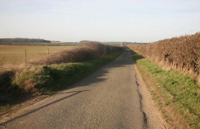
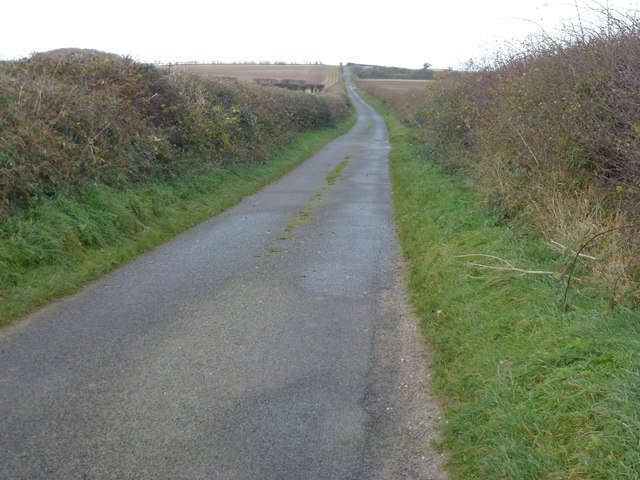
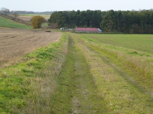
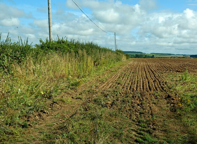
Croft's Wood is a picturesque woodland located in Norfolk, England. Spanning over a vast area, it is known for its natural beauty and diverse range of flora and fauna. The wood is situated in the heart of the Norfolk countryside, providing a peaceful and idyllic escape for visitors.
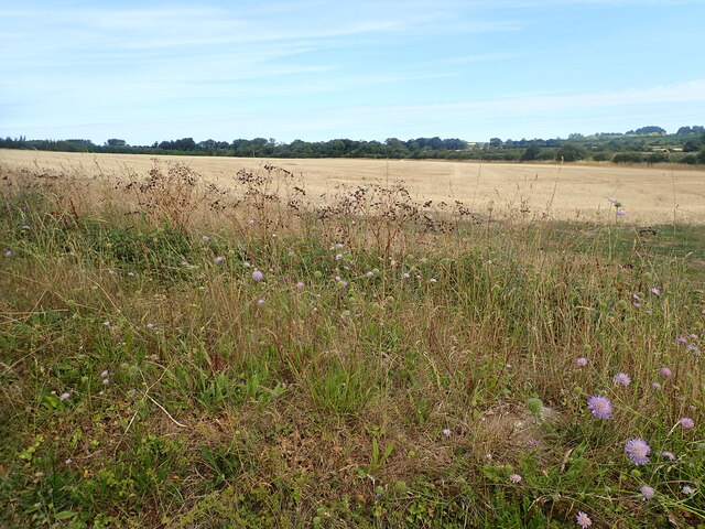
The woodland is densely populated with a variety of trees, including oak, beech, and birch, creating a rich and vibrant ecosystem. These towering trees provide a dense canopy that filters sunlight, creating a cool and shaded environment underneath. The forest floor is covered with a lush carpet of ferns, moss, and wildflowers, adding to the enchanting atmosphere of the wood.
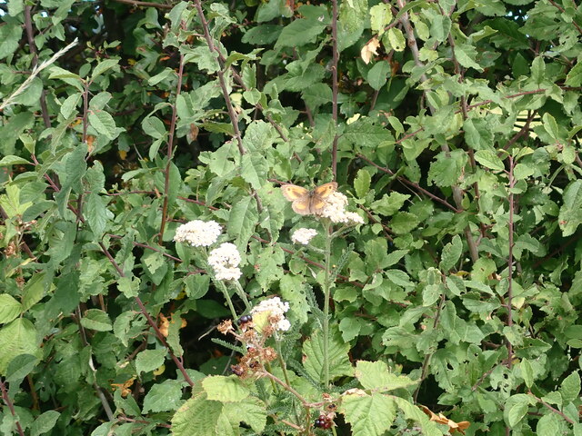
Croft's Wood is also home to a wide range of wildlife. Visitors may catch glimpses of deer, rabbits, and squirrels darting among the trees. The wood is also a haven for birdwatchers, with numerous species of birds, including woodpeckers and owls, making their homes here.
For those looking to explore the wood, there are well-maintained walking trails that wind through the forest, allowing visitors to fully immerse themselves in nature. These trails offer breathtaking views of the wood from different vantage points, as well as opportunities to spot wildlife and appreciate the natural beauty.
Croft's Wood is a popular destination for nature lovers, hikers, and photographers alike. Its peaceful ambiance and scenic vistas make it a perfect spot for relaxation and rejuvenation. Whether visiting for a leisurely stroll or a day of exploration, Croft's Wood provides a captivating experience for all who venture into its enchanting depths.
If you have any feedback on the listing, please let us know in the comments section below.
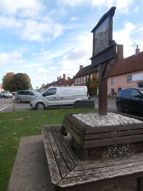
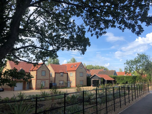
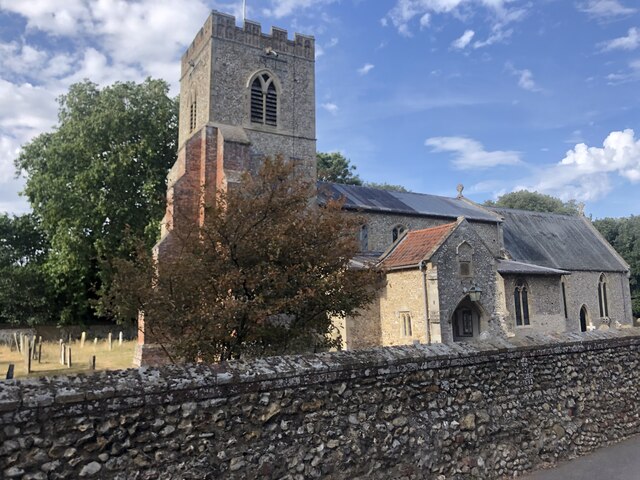
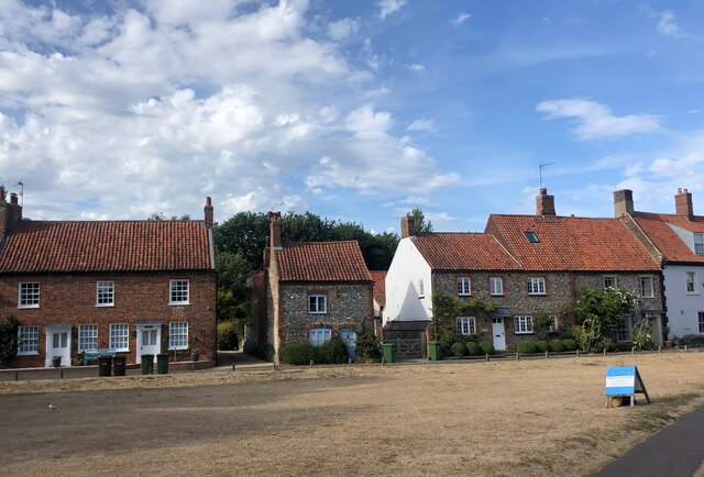
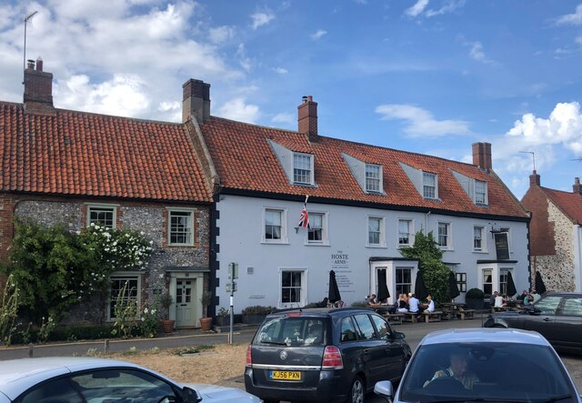
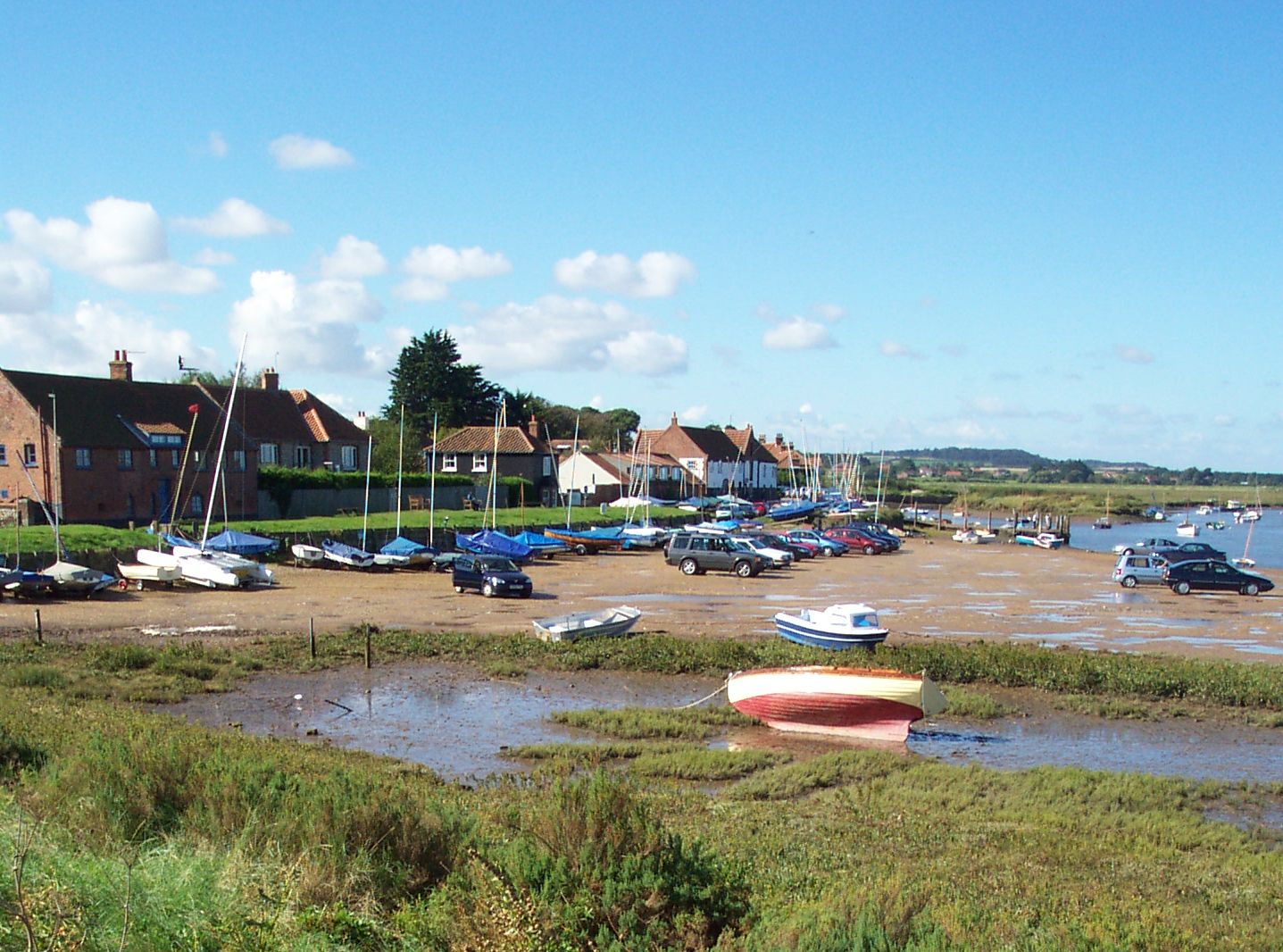
Croft's Wood Images
Images are sourced within 2km of 52.937758/0.72090058 or Grid Reference TF8241. Thanks to Geograph Open Source API. All images are credited.


Croft's Wood is located at Grid Ref: TF8241 (Lat: 52.937758, Lng: 0.72090058)
Administrative County: Norfolk
District: King's Lynn and West Norfolk
Police Authority: Norfolk
What 3 Words
///cropping.regress.full. Near Wells-next-the-Sea, Norfolk
Nearby Locations
Related Wikis

Burnham Market railway station
Burnham Market was a railway station which served the village of Burnham Market in Norfolk, England. Opened by the West Norfolk Junction railway in 1866...

Burnham Westgate Hall
Burnham Westgate Hall is a Georgian country house near Burnham Market, Norfolk, about 2 mi (3.2 km) south of the north Norfolk coast. It was remodelled...

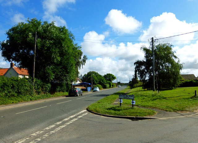
Burnham Market
Burnham Market is an English village and civil parish near the north coast of Norfolk. It is one of the Burnhams, a group of three adjacent villages that...

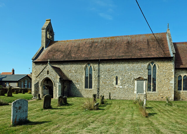
St Margaret's Church, Burnham Norton
St Margaret's Church is a round-tower church in Burnham Norton, Norfolk, England. Likely to have been built in the 11th century, the building retains many...

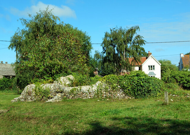
Burnham Norton Friary
Burnham Norton Friary was a Carmelite (White Friars) friary near Burnham Market in Norfolk, England. It is now a ruin. The friary was founded by Sir William...

Norfolk Burnhams
The Norfolk Burnhams are a group of adjacent villages on the north coast of Norfolk, England. The villages are located near a large natural bay named Brancaster...

Burnham Norton
Burnham Norton is a village and civil parish in the English county of Norfolk, one of the Burnhams, an adjacent group in the northernmost part of Norfolk...
Burnham Overy
Burnham Overy is a civil parish on the north coast of Norfolk, England. In modern times a distinction is often made between the two settlements of Burnham...
Nearby Amenities
Located within 500m of 52.937758,0.72090058Have you been to Croft's Wood?
Leave your review of Croft's Wood below (or comments, questions and feedback).