Burlings
Settlement in Kent Sevenoaks
England
Burlings
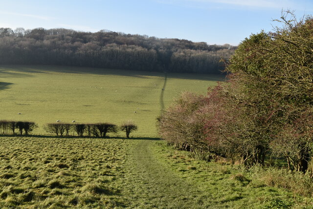
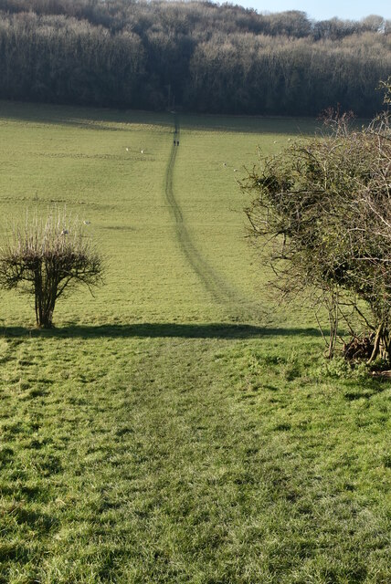
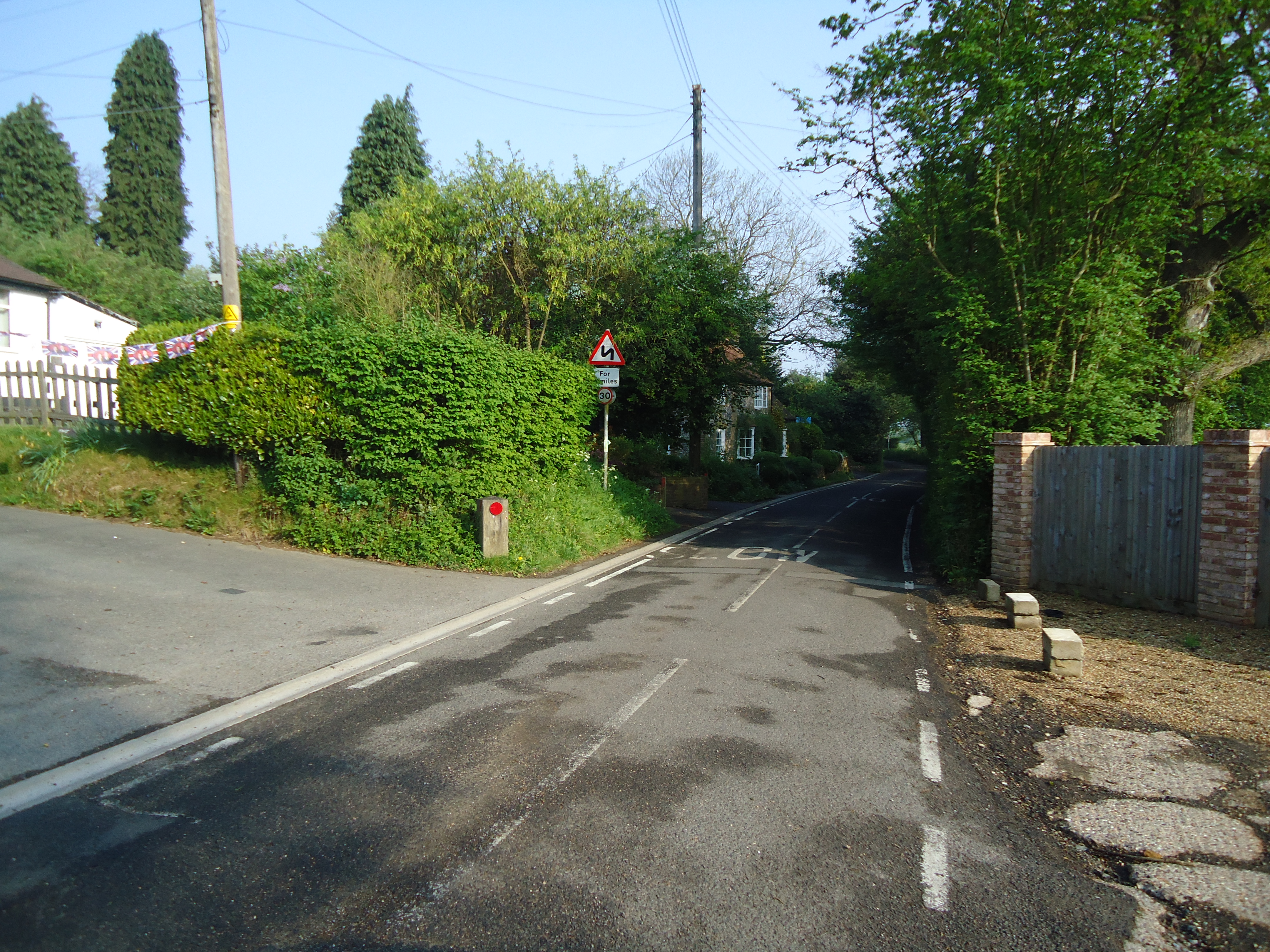
Burlings is a small village located in the county of Kent, England. Situated in the southeastern part of the country, it is nestled amidst the picturesque countryside, offering breathtaking views and a tranquil atmosphere. With a population of around 300 residents, Burlings is known for its close-knit community and friendly locals.
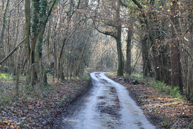
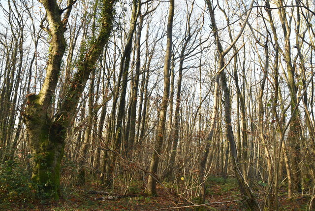
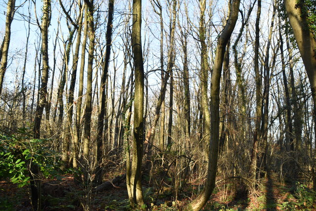
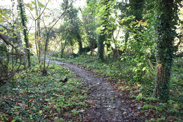
The village is characterized by its charming architecture and traditional English cottages, which add to its idyllic charm. The surrounding landscape is predominantly rural, with rolling hills, lush green fields, and meandering streams. This makes it a popular destination for nature enthusiasts and hikers, who can explore the numerous walking trails and footpaths that crisscross the area.
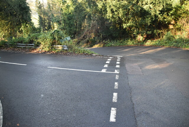
Burlings is well-connected to nearby towns and cities, with good transportation links and access to major road networks. The village is also home to a few amenities, including a local pub, a village hall, and a small convenience store, catering to the needs of its residents.
The village boasts a rich history, evident in its historic buildings and landmarks. St. Mary's Church, a beautiful medieval church dating back to the 12th century, is a prominent feature of Burlings. The church is known for its stunning architecture and houses several notable artifacts.
Overall, Burlings offers a peaceful and scenic retreat away from the hustle and bustle of city life. Its natural beauty, community spirit, and historical significance make it a gem within the Kent countryside.
If you have any feedback on the listing, please let us know in the comments section below.
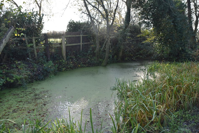
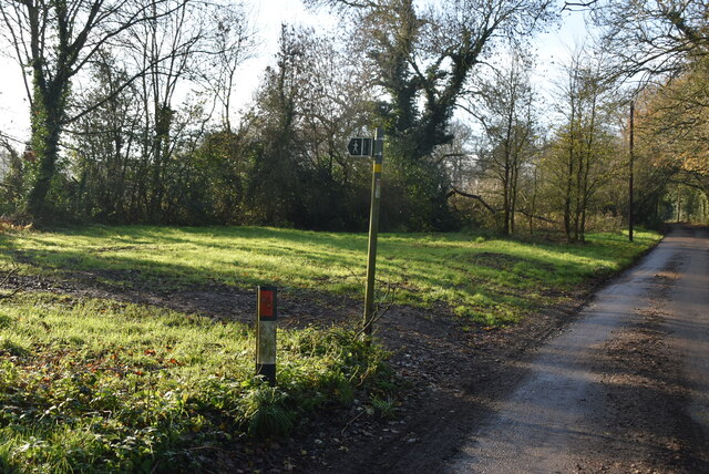
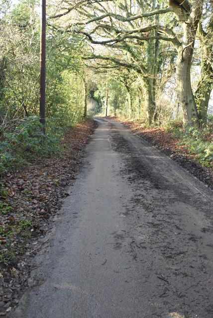
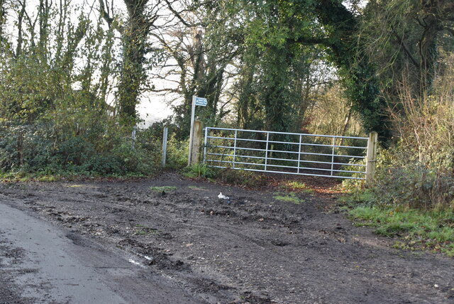
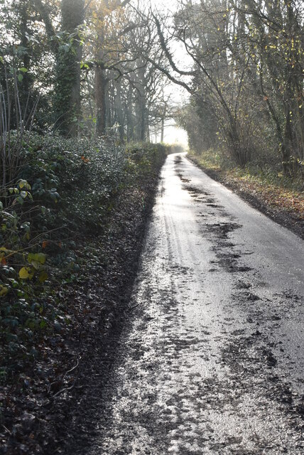
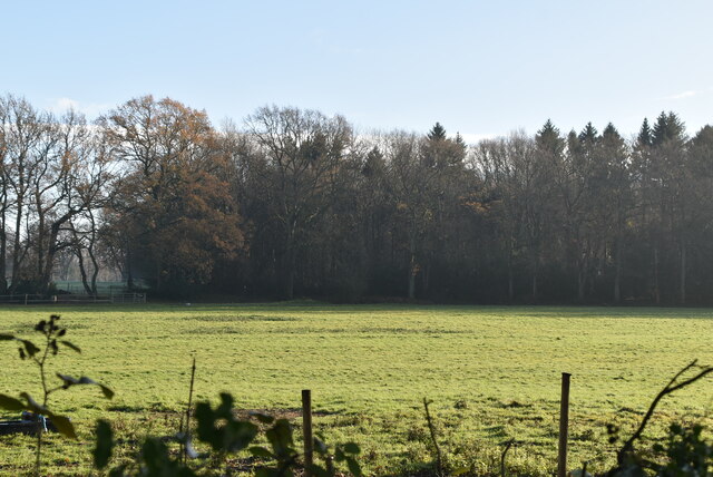
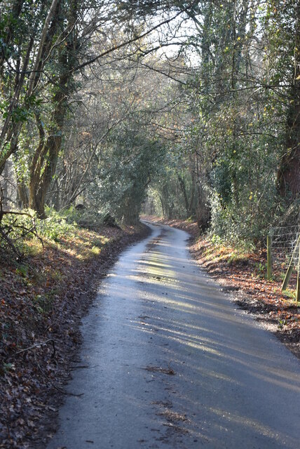
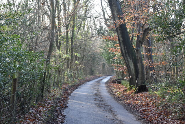
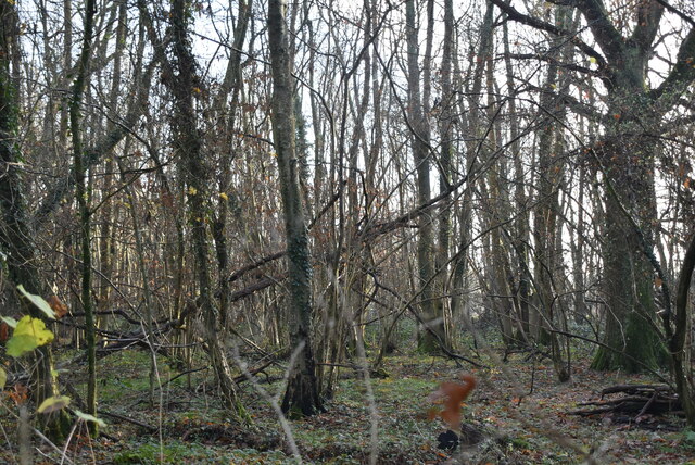
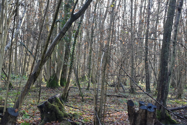
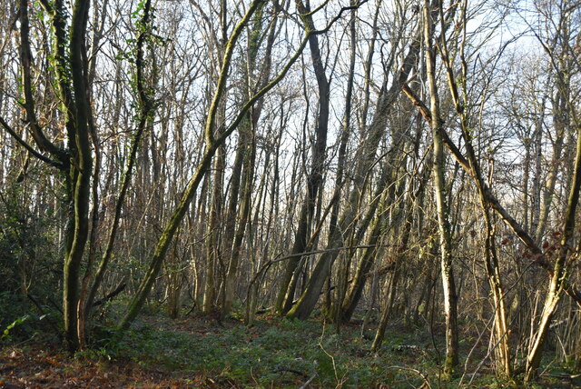
Burlings Images
Images are sourced within 2km of 51.310484/0.090253848 or Grid Reference TQ4558. Thanks to Geograph Open Source API. All images are credited.
Burlings is located at Grid Ref: TQ4558 (Lat: 51.310484, Lng: 0.090253848)
Administrative County: Kent
District: Sevenoaks
Police Authority: Kent
What 3 Words
///filer.trips.safe. Near Biggin Hill, London
Nearby Locations
Related Wikis
Horns Green
Horns Green is an area in the London Borough of Bromley located to the south of Cudham near the boundary with Kent. == References ==

St Katharine's Church, Knockholt
St Katharine's Church is an Anglican parish church in the village of Knockholt and the Sevenoaks deanery. St Katharine's and St Margaret's came together...

Knockholt
Knockholt is a village and civil parish in the Sevenoaks District of Kent, England. It is located 5 mi (8 km) north west of Sevenoaks & 5.7 mi (9.2 km...

Cudham
Cudham is a village in Greater London, England, located within the London Borough of Bromley and beyond London's urban sprawl. It is located on the Greater...

Berry's Green
Berry's Green a small hamlet in the London Borough of Bromley in Greater London, UK, situated outside of London's contiguous built-up area. It is a fairly...

Single Street
Single Street is a hamlet in the London Borough of Bromley in Greater London, located between Luxted and Berry's Green, and centred around a street of...

Old Jail, Biggin Hill
The Old Jail was a pub in Jail Lane, Biggin Hill, Westerham, Kent, in the London Borough of Bromley. At this time of writing, (February 2023), it is permanently...

London Borough of Bromley
The London Borough of Bromley ( ) is the largest and southeasternmost of the London boroughs that make up Greater London, bordering the county of Kent...
Nearby Amenities
Located within 500m of 51.310484,0.090253848Have you been to Burlings?
Leave your review of Burlings below (or comments, questions and feedback).