Burlington

Settlement in Shropshire

England

Burlington

Old Milestone by B5314, New House Farm The Milestone is located at crossroads.  Parish of Sheriffhales (Bridgnorth District). Cast iron post, Salop iron T-post design, erected by the County Council in the 19/20th Century. An earlier photograph can be found here: <a title="https://www.geograph.org.uk/photo/6098953" href="https://www.geograph.org.uk/photo/6098953">Link</a> 

Inscription reads:-  
TO / NEWPORT / 5 MILES : : TO / IVETSEY / BANK / 3 MILES 

Milestone Society National ID: SA_NPIV05
Old Milestone by B5314, New House Farm Credit: John Armstrong

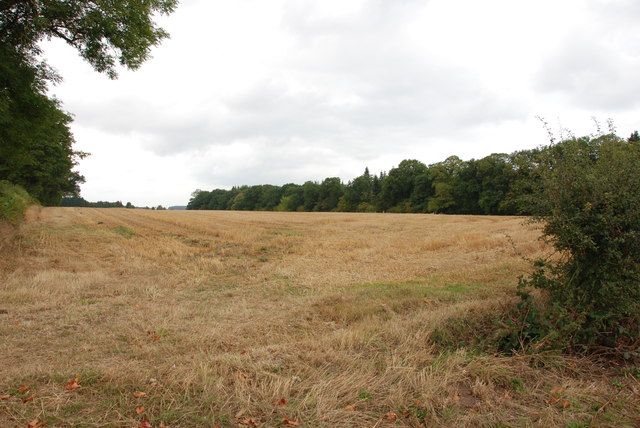
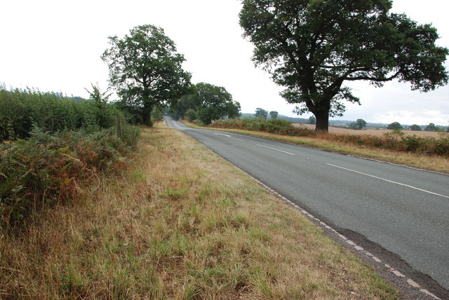
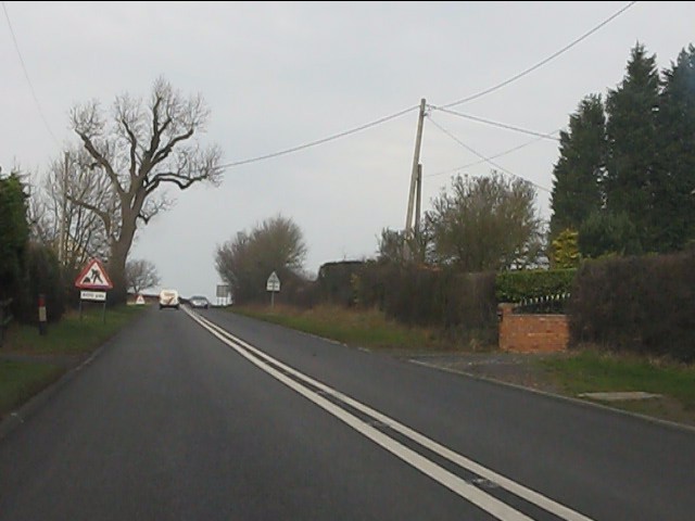
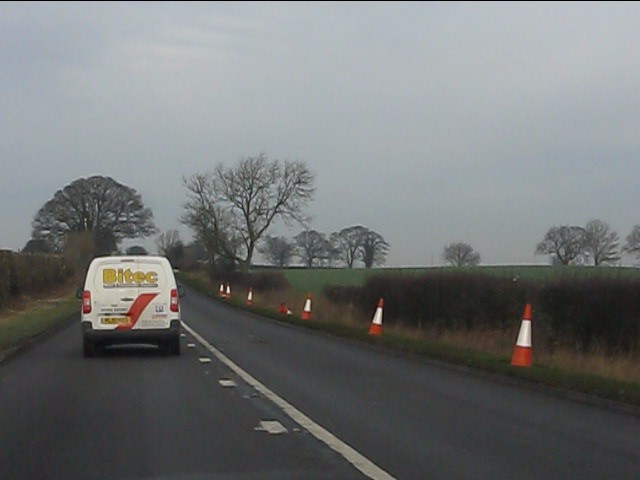
Burlington is a small village located in the county of Shropshire, England. Situated in the West Midlands region, it is nestled within the picturesque countryside and offers a tranquil and peaceful environment. The village is surrounded by rolling hills, lush green fields, and charming rural landscapes, making it an ideal destination for nature enthusiasts and those seeking a break from the hustle and bustle of city life.

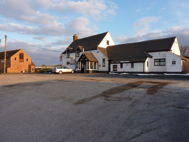
With a population of around 500 residents, Burlington maintains its small and close-knit community. The village has a rich history, dating back to the medieval era, and is known for its well-preserved architectural heritage. The quaint village center features traditional stone buildings, a parish church, and a handful of local shops and amenities, including a village pub that serves as a social hub for residents and visitors alike.

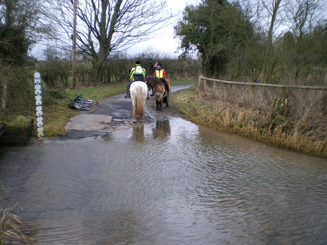
Burlington offers a range of outdoor activities for visitors. The surrounding countryside provides ample opportunities for walking, hiking, and cycling, with several scenic trails and paths to explore. The area is also renowned for its wildlife, and birdwatchers can spot a variety of species in the nearby woodlands and nature reserves.

Despite its rural setting, Burlington is conveniently located within easy reach of larger towns and cities. The market town of Shrewsbury is just a short drive away, offering a wider range of amenities, shopping options, and cultural attractions. Additionally, the village benefits from good transport links, with regular bus services connecting it to the surrounding areas.

Overall, Burlington, Shropshire offers a charming and idyllic escape for those seeking a peaceful retreat in the heart of the English countryside.

If you have any feedback on the listing, please let us know in the comments section below.
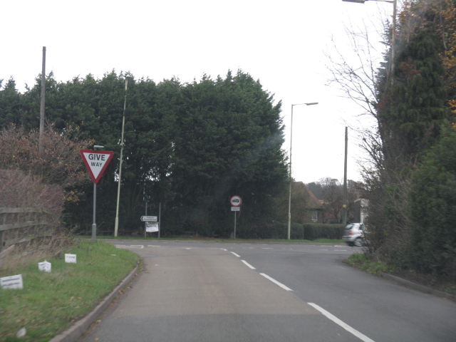
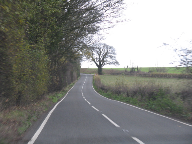
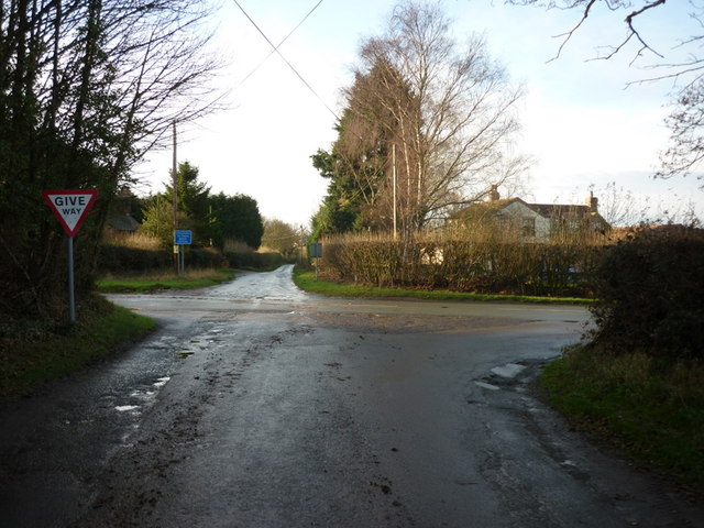
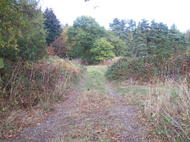
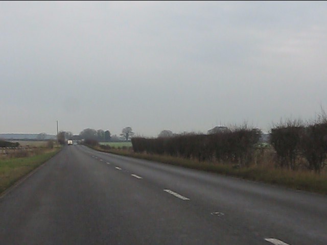
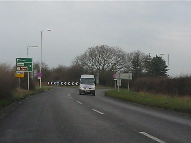
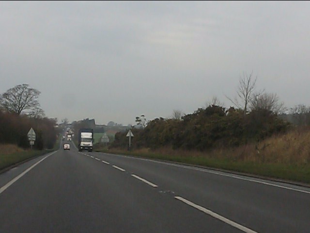
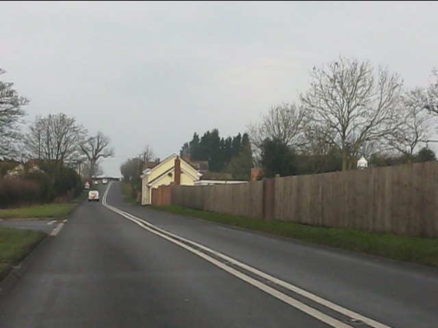
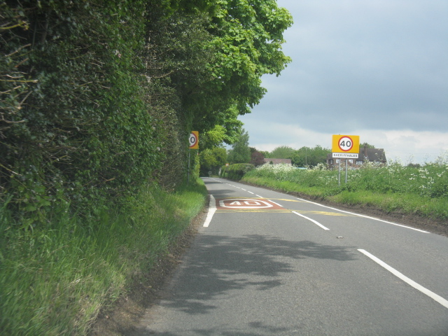
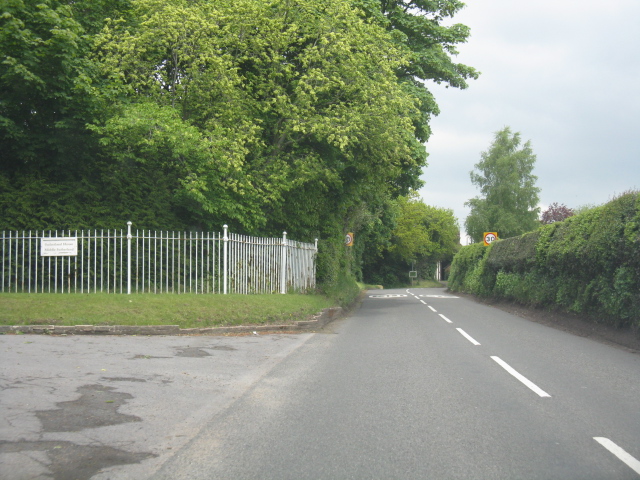
Burlington Images

Images are sourced within 2km of 52.695493/-2.332509 or Grid Reference SJ7710. Thanks to Geograph Open Source API. All images are credited.

Old Milestone by B5314, New House Farm The Milestone is located at crossroads.  Parish of Sheriffhales (Bridgnorth District). Cast iron post, Salop iron T-post design, erected by the County Council in the 19/20th Century. An earlier photograph can be found here: <a title="https://www.geograph.org.uk/photo/6098953" href="https://www.geograph.org.uk/photo/6098953">Link</a> 

Inscription reads:-  
TO / NEWPORT / 5 MILES : : TO / IVETSEY / BANK / 3 MILES 

Milestone Society National ID: SA_NPIV05
Old Milestone by B5314, New House Farm
The Milestone is located at crossroads.  Parish of Sheriffhales (Bridgnorth District). Cast iron post, Salop iron T-post design, erected by the County Council in the 19/20th Century. An earlier photograph can be found here: Link  Inscription reads:- TO / NEWPORT / 5 MILES : : TO / IVETSEY / BANK / 3 MILES Milestone Society National ID: SA_NPIV05
Field on the side of the B5314 Looking in the direction of Weston Heath, with the White Sitch on the right.
Field on the side of the B5314
Looking in the direction of Weston Heath, with the White Sitch on the right.
View down the B5314 Looking down the B5314 towards the A5 near Weston-u-Lizard.
View down the B5314
Looking down the B5314 towards the A5 near Weston-u-Lizard.
B4379 nears the A5 junction
Watling Street (A5) crosses the B4379 at Crackleybank
B4379 near Crackleybank Lodge
New House Farm at Plough Bank
Footpath Near Woodcock Corner
A41 - dead straight at Lizard Grange
A41 meets the A5 Major highways of the pre-motorway age cross at the county boundary between Shropshire and Staffordshire.
A41 meets the A5
Major highways of the pre-motorway age cross at the county boundary between Shropshire and Staffordshire.
The A41 flirts with the county boundary According to the OS maps, the county boundary follows the original course of the A41 so the improved route flits across the Shropshire/Staffordshire line between the A5 and Gorsey Bank.
The A41 flirts with the county boundary
According to the OS maps, the county boundary follows the original course of the A41 so the improved route flits across the Shropshire/Staffordshire line between the A5 and Gorsey Bank.
A41 approaching Gorsey Bank
A41 north of Chatwell Lane
A41 at the plateau north of Gorsey Bank
A picture of reluctance Two cob ponies approached the ford from the north; the white one could be cajoled through the water with a bit of persuasion, the brown one was having none of that nonsense. The riders abandoned their original plan, turned round, and went for a ride in the fields to the north of here.
A picture of reluctance
Two cob ponies approached the ford from the north; the white one could be cajoled through the water with a bit of persuasion, the brown one was having none of that nonsense. The riders abandoned their original plan, turned round, and went for a ride in the fields to the north of here.
The Shifnal Cottage Indian Restaurant No longer the <a href="https://www.geograph.org.uk/photo/1312753">SJ7610 : Hare & Hounds</a> pub, for many years a landmark on the original A5 Watling Street; this has now been re-opened as a restaurant & takeaway.
The Shifnal Cottage Indian Restaurant
No longer the SJ7610 : Hare & Hounds pub, for many years a landmark on the original A5 Watling Street; this has now been re-opened as a restaurant & takeaway.
Entering Sheriffhales from the south
B4379 approaching Marsh Road, Sheriffhales
Show me another place!

Burlington is located at Grid Ref: SJ7710 (Lat: 52.695493, Lng: -2.332509)

Unitary Authority: Shropshire

Police Authority: West Merica

What 3 Words

///spilled.movements.predict. Near Shifnal, Shropshire

Nearby Locations

Burlington

Related Wikis

White Sitch

White Sitch is a 19th Century designed landscape by John Webb containing a picturesque reservoir in the middle, one mile west of Blymhill in Staffordshire...
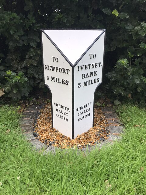
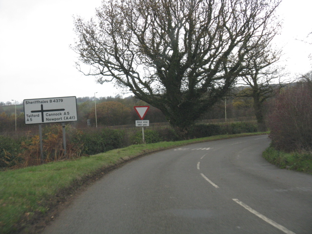
Sheriffhales

Sheriffhales is a scattered village in Shropshire, England, 4.3 miles (7 km) north-east of Telford, 2.5 miles (4 km) north of Shifnal and 4.3 miles (7...

Bromsgrove Sandstone

The Bromsgrove Sandstone is a geologic formation of the Sherwood Sandstone Group in England. It preserves fossils and ichnofossils of Chirotherium barthii...

St Andrew's Church, Weston-under-Lizard

The Church of St Andrew, Weston-under-Lizard, Staffordshire is a Grade I listed Anglican church. Its origins are medieval, but it was largely rebuilt in...

Weston Park

Weston Park is a country house in Weston-under-Lizard, Staffordshire, England, set in more than 1,000 acres (400 ha) of park landscaped by Capability Brown...

Weston-under-Lizard

Weston-under-Lizard is a village and former civil parish, now in the parish of Blymhill and Weston-under-Lizard, in the South Staffordshire district of...

Shifnal Town F.C.

Shifnal Town Football Club is a football club based in Shifnal, Shropshire, England. They have reached the 4th round of the FA Vase three times in their...

Brineton

Brineton is a hamlet in Staffordshire, England. It is 3/4 mile north of the village of Blymhill, and is within the civil parish of Blymhill and Weston...

Nearby Amenities

Located within 500m of 52.695493,-2.332509
Ford: yes
Lat/Long: 52.6963908/-2.3330843
Turning Loop
Lat/Long: 52.6974791/-2.335219
The data included in this document is from www.openstreetmap.org. The data is made available under ODbL.

Have you been to Burlington?

Leave your review of Burlington below (or comments, questions and feedback).