Burleys Wood

Settlement in Sussex Crawley

England

Burleys Wood

Road by Three Bridges station The station at Three Bridges is on the London-Brighton line but this is also where trains heading off to Crawley or Horsham or the coast normally pass through. But I can see only one Bridge - where are the other two?
Road by Three Bridges station Credit: Nigel Freeman

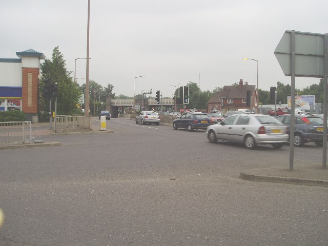
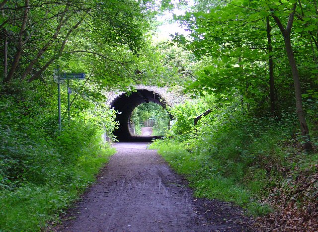
Burleys Wood is a picturesque woodland located in the county of Sussex, England. Situated near the town of Horsham, this ancient woodland spans an area of approximately 150 acres. It is a popular destination for nature lovers, hikers, and wildlife enthusiasts.

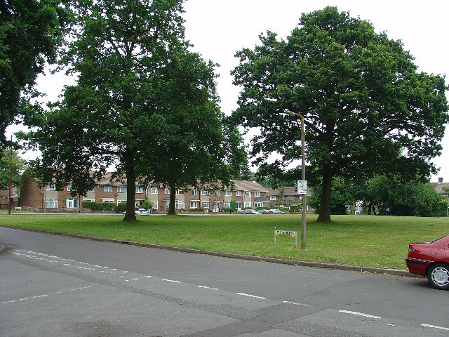
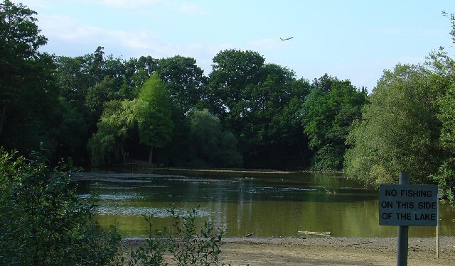
The wood is home to a diverse range of flora and fauna, offering a serene and tranquil environment for visitors. The tree canopy is dominated by oak, beech, and pine trees, which provide a dense and lush habitat for various bird species, including woodpeckers, owls, and songbirds.

Walking trails meander through the wood, allowing visitors to explore its natural beauty. These paths offer stunning views of the surrounding countryside and are ideal for leisurely strolls or more challenging hikes. Along the way, visitors may encounter wildflowers, such as bluebells and primroses, adding a splash of color to the woodland floor.

Burleys Wood is also known for its rich history. It is believed to have been inhabited since ancient times, with evidence of Iron Age and Roman settlements found in the area. The wood has also played a significant role in local industries, particularly timber production.

Today, Burleys Wood is a protected area, managed by the local authorities and conservation organizations to preserve its natural beauty and biodiversity. It offers a haven for wildlife and a peaceful escape for those seeking respite from the bustle of everyday life.

If you have any feedback on the listing, please let us know in the comments section below.
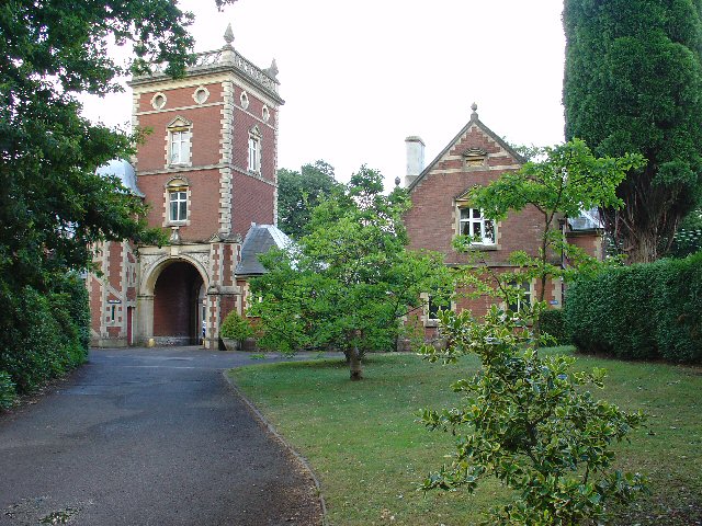
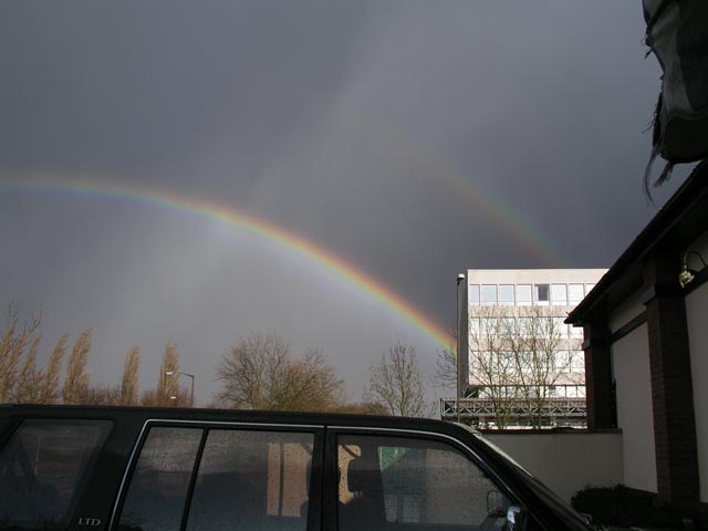
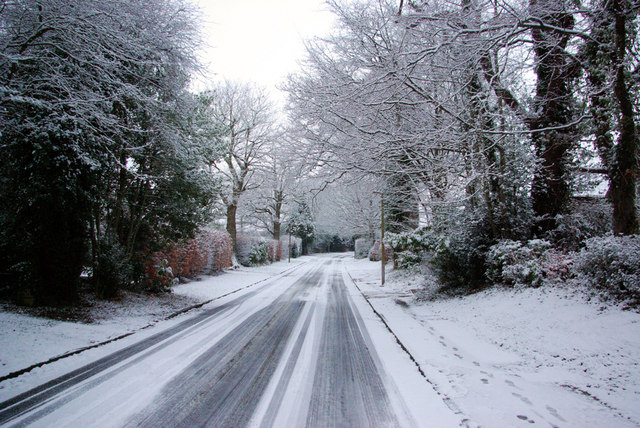
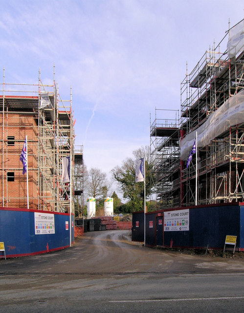
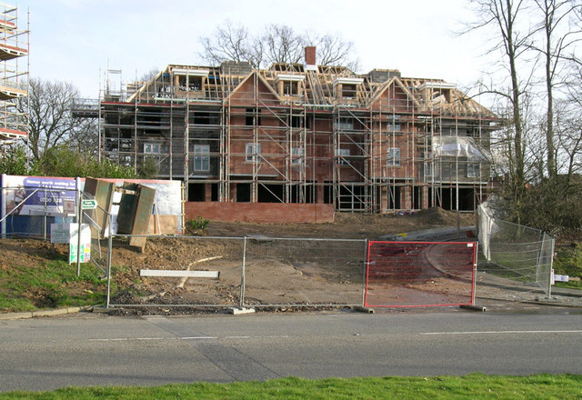
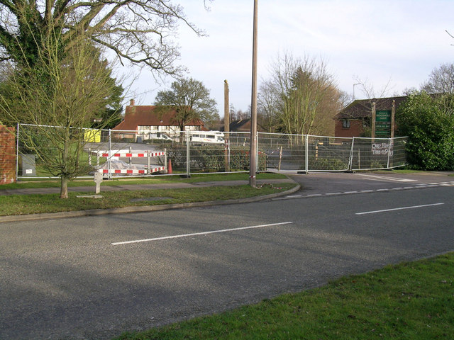
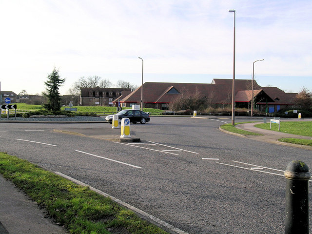
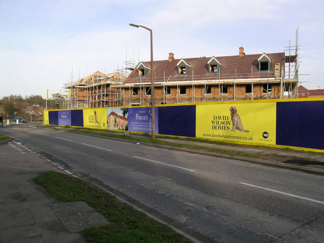
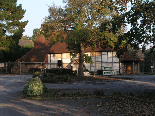
Burleys Wood Images

Images are sourced within 2km of 51.120145/-0.14826724 or Grid Reference TQ2937. Thanks to Geograph Open Source API. All images are credited.

Road by Three Bridges station The station at Three Bridges is on the London-Brighton line but this is also where trains heading off to Crawley or Horsham or the coast normally pass through. But I can see only one Bridge - where are the other two?
Road by Three Bridges station
The station at Three Bridges is on the London-Brighton line but this is also where trains heading off to Crawley or Horsham or the coast normally pass through. But I can see only one Bridge - where are the other two?
Maidenbower Junior School Built and opened as a Middle School in the late 1990s, it became a Junior School following the Crawley Schools' Re-organisation in 2004
Maidenbower Junior School
Built and opened as a Middle School in the late 1990s, it became a Junior School following the Crawley Schools' Re-organisation in 2004
Worth Way, just before passing under B2036, Crawley The disused railway between Crawley and East Grinstead was converted into a hard surfaced route for non-motorised traffic. Here we see the route heading towards E. Grinstead, just before passing under the Balcombe Road. The tunnel is not an original from the days when steam trains used to ply this route.
Worth Way, just before passing under B2036, Crawley
The disused railway between Crawley and East Grinstead was converted into a hard surfaced route for non-motorised traffic. Here we see the route heading towards E. Grinstead, just before passing under the Balcombe Road. The tunnel is not an original from the days when steam trains used to ply this route.
Open Space in Residential Area of Three Bridges, Crawley, West Sussex A grass covered square open space with a number of oak trees. This grid square has a high proportion of residential usage and holds approximately half of the housing in the Three Bridges neighbourhood of Crawley. Such open spaces are common throughout the various Crawley neighbourhoods.
Open Space in Residential Area of Three Bridges, Crawley, West Sussex
A grass covered square open space with a number of oak trees. This grid square has a high proportion of residential usage and holds approximately half of the housing in the Three Bridges neighbourhood of Crawley. Such open spaces are common throughout the various Crawley neighbourhoods.
Tesco Superstore, Hazelwick Avenue, Crawley, West Sussex One of three major supermarkets in Crawley, the others being Asda (Southgate) and Sainsbury's (West Green).
Tesco Superstore, Hazelwick Avenue, Crawley, West Sussex
One of three major supermarkets in Crawley, the others being Asda (Southgate) and Sainsbury's (West Green).
Cycle Subway (on National Cycle Network Route 20) between Manor Royal Industrial Estate and Northgate, Crawley, West Sussex National Cycle Network route 20 passes through Crawley. Here we see where the cycle path is routed under the main Crawley dual carriageway inner bypass. NCN 20 is a route from London to Brighton.
Cycle Subway (on National Cycle Network Route 20) between Manor Royal Industrial Estate and Northgate, Crawley, West Sussex
National Cycle Network route 20 passes through Crawley. Here we see where the cycle path is routed under the main Crawley dual carriageway inner bypass. NCN 20 is a route from London to Brighton.
Gatwick Road, Manor Royal Industrial Estate, Crawley, West Sussex The Manor Royal industrial estate is centred on TQ2738, but also spreads over about a third of this grid square. A feature here is the bridge over the main road linking two buildings belonging to the same organisation. The road building works are connected with the installation of the "Fastway" guided bus network throughout Crawley.
Gatwick Road, Manor Royal Industrial Estate, Crawley, West Sussex
The Manor Royal industrial estate is centred on TQ2738, but also spreads over about a third of this grid square. A feature here is the bridge over the main road linking two buildings belonging to the same organisation. The road building works are connected with the installation of the "Fastway" guided bus network throughout Crawley.
Milton Mount Lake, Pound Hill, Crawley, West Sussex Milton Mount Lake was once in the grounds of the Worth Park country estate. The estate was absorbed into the residential neighbourhood of Pound Hill and built upon. In the background, it is just possible to see an aircraft that has just taken off from Gatwick airport. The E end of the runway is 2km north of here. Aircraft taking off would not normally be seen from here, as they usually take off into the West (against the prevailing wind). The wind on this day was from the east.
Milton Mount Lake, Pound Hill, Crawley, West Sussex
Milton Mount Lake was once in the grounds of the Worth Park country estate. The estate was absorbed into the residential neighbourhood of Pound Hill and built upon. In the background, it is just possible to see an aircraft that has just taken off from Gatwick airport. The E end of the runway is 2km north of here. Aircraft taking off would not normally be seen from here, as they usually take off into the West (against the prevailing wind). The wind on this day was from the east.
Old Stable Block of Worth Park House, Milton Mount, Pound Hill, Crawley, West Sussex This is the old Victoria Stable block of Worth Park House. There is a carved plaque on the wall with the date 1882. The original Worth Park House was demolished and the site is now Milton Mount Gardens, but this stable block remains.
Old Stable Block of Worth Park House, Milton Mount, Pound Hill, Crawley, West Sussex
This is the old Victoria Stable block of Worth Park House. There is a carved plaque on the wall with the date 1882. The original Worth Park House was demolished and the site is now Milton Mount Gardens, but this stable block remains.
Rainbow over Three Bridges Good luck finding that pot of gold!
Complete single rainbow with partial second bow - notice the dramatic change in the brightness of the sky as you cross the lower bow and the reversed colour sequence in the second bow. Seen from the carpark in the "square-about" with Sutherland House to the rear right.
Rainbow over Three Bridges
Good luck finding that pot of gold! Complete single rainbow with partial second bow - notice the dramatic change in the brightness of the sky as you cross the lower bow and the reversed colour sequence in the second bow. Seen from the carpark in the "square-about" with Sutherland House to the rear right.
Blackwater Lane in the Snow Formerly the approach to Blackwater Farm, now a residential street in Crawley.
Blackwater Lane in the Snow
Formerly the approach to Blackwater Farm, now a residential street in Crawley.
Site Entrance - Stone Court Urban infilling - Stone Court was a house in large grounds. Now being redeveloped for 120 dwellings.
Site Entrance - Stone Court
Urban infilling - Stone Court was a house in large grounds. Now being redeveloped for 120 dwellings.
Stone Court - new Block of Flats This is the earlier (not the earliest) entrance to Stone Court from Balcombe Road when it was a single house. This block of flats is just one of the blocks replacing one dwelling with 120 dwellings.
Stone Court - new Block of Flats
This is the earlier (not the earliest) entrance to Stone Court from Balcombe Road when it was a single house. This block of flats is just one of the blocks replacing one dwelling with 120 dwellings.
Frogshole Farm after a Fire Originally a farmhouse, latterly a pub, the site is cordoned off after a fire on 8 Feb 2007. Outwardly in good shape, according to the newspaper report about 50% was damaged and the roof of the kitchen collapsed.
Frogshole Farm after a Fire
Originally a farmhouse, latterly a pub, the site is cordoned off after a fire on 8 Feb 2007. Outwardly in good shape, according to the newspaper report about 50% was damaged and the roof of the kitchen collapsed.
Maidenbower Community Centre This is the large building beyond the roundabout in one of the newest parts of what used to called the New Town of Crawley. Maidenbower is the name of the area,  not invented but the name of a former farm here.
Maidenbower Community Centre
This is the large building beyond the roundabout in one of the newest parts of what used to called the New Town of Crawley. Maidenbower is the name of the area, not invented but the name of a former farm here.
Parkside Development, Maidenbower, Crawley This development will just about complete available sites in this area of Crawley. 2, 3, 4, and 5 bedroom houses are announced on the placards. The road is Lucerne Drive.
Parkside Development, Maidenbower, Crawley
This development will just about complete available sites in this area of Crawley. 2, 3, 4, and 5 bedroom houses are announced on the placards. The road is Lucerne Drive.
Frogshole Farm public house Still boarded up from the fire in February (2007) but the enclosing fences now display planning applications (so things are looking up). The pub's name is not a contrivance of Olde Worlde corporate branding as this actually was the farmhouse for Frogshole Farm. The timber-framed building dates from the 16th century with numerous modifications over the centuries (and probably a few fires too!) Most of surrounding development is built on the fields of the old farm so Maidenbower could well have been named Frogshole instead.
Frogshole Farm public house
Still boarded up from the fire in February (2007) but the enclosing fences now display planning applications (so things are looking up). The pub's name is not a contrivance of Olde Worlde corporate branding as this actually was the farmhouse for Frogshole Farm. The timber-framed building dates from the 16th century with numerous modifications over the centuries (and probably a few fires too!) Most of surrounding development is built on the fields of the old farm so Maidenbower could well have been named Frogshole instead.
Marvell Close, Pound Hill, Crawley Typical 1950s and 60s Taylor Woodrow houses.
Marvell Close, Pound Hill, Crawley
Typical 1950s and 60s Taylor Woodrow houses.
Show me another place!

Burleys Wood is located at Grid Ref: TQ2937 (Lat: 51.120145, Lng: -0.14826724)

Administrative County: West Sussex

District: Crawley

Police Authority: Sussex

What 3 Words

///obey.cute.this. Near Maidenbower, West Sussex

Related Wikis

Pound Hill

Pound Hill is one of 14 neighbourhoods within the town of Crawley in West Sussex, England. Pound Hill is located on the east of Crawley. It is bordered...

Worth, West Sussex

Worth is either a civil parish in the Mid Sussex District of West Sussex, or a distinct but historically related village in Crawley. == Civil parish... ==

Worth Park Gardens

Worth Park (formerly known as Milton Mount Gardens) is in Pound Hill, Crawley. The park covers eight hectares and includes formal gardens, and a lake area...

Three Bridges, West Sussex

Three Bridges is one of 14 neighbourhoods within the town of Crawley, in the county of West Sussex in England. == History == Three Bridges, at first a...

Three Bridges railway station

Three Bridges railway station is located in and named after the village of Three Bridges, which is now a district of Crawley, West Sussex, England. It...

Grattons Park

Grattons Park is a 7.7-hectare (19-acre) Local Nature Reserve in Crawley in West Sussex, England. It is owned by Crawley Borough Council and managed by...

Three Bridges depot

Three Bridges depot is an Electric Traction Depot located in Three Bridges, West Sussex, England. The depot is about 1.5 km south of Three Bridges railway...

St Nicholas Church, Worth

St Nicholas Church is a Church of England parish church in Worth, a village in Crawley, England, which at one time had the largest geographical parish...

Nearby Amenities

Located within 500m of 51.120145,-0.14826724
Pound Hill
Is In: West Sussex, England, UK
Place: village
Wikidata: Q2393416
Lat/Long: 51.1212595/-0.1502329
Booth: K6
Removed Amenity: telephone
Lat/Long: 51.1219769/-0.1535556
Crossing
Crossing: unmarked
Crossing Island: no
Crossing Markings: no
Kerb: lowered
Tactile Paving: yes
Lat/Long: 51.1221835/-0.1525806
Post Box
Burns Road
Collection Plate: CP1D
Collection Times: Mo-Fr 09:00; Sa 07:00
Operator: Royal Mail
Post Box Type: pillar
Ref: RH10 60D
Royal Cypher: EIIR
Royal Cypher Wikidata: Q33102113
Source: survey
Lat/Long: 51.1217721/-0.1542292
Mini Roundabout
Direction: clockwise
Lat/Long: 51.1166108/-0.1476321
Crossing
Bicycle: no
Button Operated: yes
Crossing: traffic_signals
Traffic Signals: crossing
Lat/Long: 51.1199528/-0.1482496
Post Box
Wentworth Drive
Collection Times: Mo-Fr 17:15; Sa 11:30
Operator: Royal Mail
Operator Wikidata: Q638098
Post Box Type: pillar
Ref: RH10 143
Royal Cypher: EIIR
Royal Cypher Wikidata: Q33102113
Source: survey
Lat/Long: 51.1210184/-0.1455378
Pub
The Hillside Inn
Brand: Vintage Inns
Brand Wikidata: Q87067899
Contact Website: https://www.vintageinn.co.uk/restaurants/south-east/thehillsideinncrawley
Outdoor Seating: yes
Smoking: outside
Lat/Long: 51.1186071/-0.1477756
Post Box
Pound Hill Parade P O
Collection Plate: CP1
Collection Times: Mo-Fr 17:00; Sa 11:45
Operator: Royal Mail
Operator Wikidata: Q638098
Post Box Type: pillar
Ref: RH10 89
Royal Cypher: EIIR
Royal Cypher Wikidata: Q33102113
Source: survey
Lat/Long: 51.1176564/-0.1538997
Crossing
Crossing: traffic_signals
Crossing Island: no
Crossing Markings: dots
Crossing Ref: puffin
Kerb: lowered
Tactile Paving: yes
Lat/Long: 51.1237319/-0.146028
Post Box
Turners Hill Pound Hill
Collection Plate: CP8D
Collection Times: Mo-Fr 09:00; Sa 07:00
Operator: Royal Mail
Operator Wikidata: Q638098
Post Box Type: pillar
Ref: RH10 28D
Royal Cypher: EIIR
Royal Cypher Wikidata: Q33102113
Source: survey
Lat/Long: 51.1162581/-0.1451422
Bus Stop
Turners Hill Road
Bench: yes
Bus: yes
Naptan AtcoCode: 4400CY0169
Naptan Bearing: E
Naptan CommonName: Turners Hill Road
Naptan Indicator: opposite Ashurst Drive
Naptan Landmark: Ashurst Drive
Naptan NaptanCode: wsxajwap
Naptan PlusbusZoneRef: CRAWLEY
Naptan Street: Turners Hill Road
Naptan Verified: no
Public Transport: platform
Shelter: yes
Source: naptan_import
Lat/Long: 51.1162439/-0.145089
Bus Stop
Kelso Close
Bus: yes
Naptan AtcoCode: 4400CY0172
Naptan Bearing: N
Naptan CommonName: Kelso Close
Naptan Indicator: opposite Kelso Close
Naptan Landmark: Kelso Close
Naptan NaptanCode: wsxajwda
Naptan PlusbusZoneRef: CRAWLEY
Naptan Street: The Ridings
Naptan Verified: no
Public Transport: platform
Source: naptan_import
Lat/Long: 51.1177752/-0.1421847
Bus Stop
Sedgefield Close
Bus: yes
Naptan AtcoCode: 4400CY0173
Naptan Bearing: SE
Naptan CommonName: Sedgefield Close
Naptan Indicator: opp
Naptan Landmark: Lytton Drive
Naptan NaptanCode: wsxajwdg
Naptan PlusbusZoneRef: CRAWLEY
Naptan ShortCommonName: Sedgefield Close
Naptan Street: The Ridings
Naptan Verified: no
Public Transport: platform
Source: naptan_import
Lat/Long: 51.1193645/-0.1441569
Bus Stop
Sedgefield Close
Bus: yes
Naptan AtcoCode: 4400CY0174
Naptan Bearing: S
Naptan CommonName: Sedgefield Close
Naptan Indicator: adj
Naptan Landmark: Lytton Drive
Naptan NaptanCode: wsxajwdj
Naptan PlusbusZoneRef: CRAWLEY
Naptan ShortCommonName: Sedgefield Close
Naptan Street: The Ridings
Naptan Verified: no
Public Transport: platform
Source: naptan_import
Lat/Long: 51.1197435/-0.144965
Bus Stop
Wentworth Drive
Bus: yes
Naptan AtcoCode: 4400CY0175
Naptan Bearing: E
Naptan CommonName: Wentworth Drive
Naptan Indicator: opposite Short Gallop
Naptan Landmark: Short Gallop
Naptan NaptanCode: wsxajwdm
Naptan PlusbusZoneRef: CRAWLEY
Naptan Street: Wentworth Drive
Naptan Verified: no
Public Transport: platform
Source: naptan_import
Lat/Long: 51.1210252/-0.1470392
Bus Stop
Wentworth Drive
Bus: yes
Naptan AtcoCode: 4400CY0176
Naptan Bearing: W
Naptan CommonName: Wentworth Drive
Naptan Indicator: Short Gallop
Naptan Landmark: Short Gallop
Naptan NaptanCode: wsxajwdp
Naptan PlusbusZoneRef: CRAWLEY
Naptan Street: Wentworth Drive
Naptan Verified: no
Public Transport: platform
Source: naptan_import
Lat/Long: 51.1208791/-0.147588
Bus Stop
Burleys Road
Bench: no
Bus: yes
Naptan AtcoCode: 4400CY0179
Naptan Bearing: SE
Naptan CommonName: Burleys Rd
Naptan Indicator: Opp Burleys Rd
Naptan Landmark: Burleys Road
Naptan NaptanCode: wsxajwga
Naptan PlusbusZoneRef: CRAWLEY
Naptan Street: Worth Road
Naptan Verified: no
Public Transport: platform
Shelter: no
Source: naptan_import
Lat/Long: 51.116174/-0.151172
Bus Stop
Ridley's Corner
Bus: yes
Naptan AtcoCode: 4400CY0182
Naptan Bearing: W
Naptan CommonName: Ridley's Corner
Naptan Indicator: opp
Naptan Landmark: Woodlands
Naptan NaptanCode: wsxajwgm
Naptan PlusbusZoneRef: CRAWLEY
Naptan ShortCommonName: Ridley's Corner
Naptan Street: Worth Park Avenue
Naptan Verified: yes
Public Transport: platform
Source: naptan_import
Lat/Long: 51.1229515/-0.149286
Bus Stop
Blackheath
Bench: no
Bin: no
Bus: yes
Naptan AtcoCode: 4400CY0183
Naptan Bearing: NE
Naptan CommonName: Ridley's Corner
Naptan Indicator: junction of Balcombe Road
Naptan Landmark: Balcombe Road
Naptan NaptanCode: wsxajwgp
Naptan PlusbusZoneRef: CRAWLEY
Naptan Street: Copthorne Road
Naptan Verified: no
Public Transport: platform
Shelter: no
Source: naptan_import
Lat/Long: 51.123786/-0.1459933
Bus Stop
Balcombe Court
Bus: yes
Naptan AtcoCode: 4400CY0538
Naptan Bearing: N
Naptan CommonName: Balcombe Court
Naptan Indicator: Hill Side Inn
Naptan Landmark: Balcombe Court
Naptan PlusbusZoneRef: CRAWLEY
Naptan Street: Balcombe Rd
Naptan Verified: no
Public Transport: platform
Source: naptan_import
Lat/Long: 51.118631/-0.1481737
Bus Stop
Greyhound Slip
Bus: yes
Naptan AtcoCode: 4400CY0546
Naptan Bearing: S
Naptan CommonName: Greyhound Slip
Naptan Indicator: adj
Naptan Landmark: Balcombe Road
Naptan ShortCommonName: Greyhound Slip
Naptan Street: Balcombe Road
Naptan Verified: no
Public Transport: platform
Source: naptan_import
Lat/Long: 51.1221932/-0.1479539
Bus Stop
Ridley's Corner
Bus: yes
Naptan AtcoCode: 4400CY0550
Naptan Bearing: E
Naptan CommonName: Ridley's Corner
Naptan Indicator: adj
Naptan Landmark: Woodlands
Naptan NaptanCode: wsxgdtdw
Naptan ShortCommonName: Ridley's Corner
Naptan Street: Worth Park Avenue
Naptan Verified: yes
Public Transport: platform
Source: naptan_import
Lat/Long: 51.1230136/-0.1492988
Bus Stop
Balcombe Court
Bus: yes
Naptan AtcoCode: 4400CY0555
Naptan Bearing: S
Naptan CommonName: Balcombe Court
Naptan Indicator: adj
Naptan Landmark: Turners Hill Road
Naptan ShortCommonName: Balcombe Court
Naptan Street: Balcombe Road
Naptan Verified: no
Public Transport: platform
Source: naptan_import
Lat/Long: 51.1185868/-0.1480892
Bus Stop
Greyhound Slip
Bus: yes
Naptan AtcoCode: 4400CY0556
Naptan Bearing: N
Naptan CommonName: Greyhound Slip
Naptan Indicator: opp
Naptan Landmark: Wentworth Drive
Naptan ShortCommonName: Greyhound Slip
Naptan Street: Balcombe Road
Naptan Verified: no
Public Transport: platform
Source: naptan_import
Lat/Long: 51.1214653/-0.1481997
Fixme: location approx from memory
Man Made: surveillance
Lat/Long: 51.1240834/-0.1448747
Shop: convenience
Lat/Long: 51.1198702/-0.1446119
Post Box
Shires Parade P O
Collection Times: Mo-Fr 17:00; Sa 11:45
Operator: Royal Mail
Operator Wikidata: Q638098
Post Box Type: pillar
Ref: RH10 39
Royal Cypher: EIIR
Royal Cypher Wikidata: Q33102113
Source: survey
Lat/Long: 51.1198803/-0.1446393
Post Box
Mereworth Drive
Collection Plate: CP1D
Collection Times: Mo-Fr 09:00; Sa 07:00
Operator: Royal Mail
Operator Wikidata: Q638098
Post Box Type: pillar
Ref: RH10 51D
Royal Cypher: EIIR
Royal Cypher Wikidata: Q33102113
Source: survey
Lat/Long: 51.1218476/-0.1500003
Traffic Calming: bump
Lat/Long: 51.1167385/-0.146099
Traffic Calming: bump
Lat/Long: 51.1167888/-0.1463574
Waste Basket
Waste: dog_excrement
Lat/Long: 51.1170024/-0.1462072
Traffic Calming: cushion
Lat/Long: 51.1161052/-0.1512078
Traffic Calming: cushion
Lat/Long: 51.1165461/-0.1524487
Atm
Brand: The Co-operative Bank
Brand Wikidata: Q3520318
Cash In: no
Currency GBP: yes
Drive Through: no
Fee: no
Network: Link
Operator: The Co-operative Bank
Operator Wikidata: Q3520318
Lat/Long: 51.1159431/-0.1470932
Waste Basket
Lat/Long: 51.1174834/-0.1539784
Barrier: bollard
Lat/Long: 51.1175305/-0.1540256
Waste Basket
Lat/Long: 51.1176596/-0.1539218
Bench
Lat/Long: 51.1176639/-0.1539495
Bench
Lat/Long: 51.1176966/-0.1539842
Waste Basket
Lat/Long: 51.1177183/-0.1539668
Waste Basket
Check Date: 2024-02-06
Lat/Long: 51.1178453/-0.1544054
Crossing
Bicycle: no
Crossing: traffic_signals
Crossing Island: no
Crossing Ref: puffin
Kerb: lowered
Tactile Paving: yes
Traffic Signals: signal
Traffic Signals Direction: both
Lat/Long: 51.1219159/-0.1528377
Crossing
Crossing: uncontrolled
Kerb: lowered
Lat/Long: 51.1230417/-0.1488783
Crossing
Crossing: unmarked
Crossing Island: no
Crossing Markings: no
Kerb: lowered
Tactile Paving: yes
Lat/Long: 51.1218466/-0.153356
Crossing
Bicycle: yes
Crossing: unmarked
Crossing Markings: no
Kerb: lowered
Tactile Paving: yes
Lat/Long: 51.1229833/-0.1483682
Fire Hydrant
Emergency: fire_hydrant
Fire Hydrant Type: underground
Survey Date: 2018-11-09
Water Source: main
Lat/Long: 51.120791/-0.1520469
Fire Hydrant
Emergency: fire_hydrant
Fire Hydrant Type: underground
Survey Date: 2018-11-09
Water Source: main
Lat/Long: 51.118967/-0.14147
Washout Hydrant
Fire Hydrant
Emergency: fire_hydrant
Fire Hydrant Type: underground
Survey Date: 2018-11-11
Water Source: main
Lat/Long: 51.122799/-0.1438169
Washout Hydrant
Fire Hydrant
Emergency: fire_hydrant
Fire Hydrant Type: underground
Survey Date: 2018-11-11
Water Source: main
Lat/Long: 51.122016/-0.1421192
Bench
Lat/Long: 51.1230051/-0.1492829
Generator Method: photovoltaic
Generator Output Electricity: yes
Generator Source: solar
Generator Type: solar_photovoltaic_panel
Location: roof
Power: generator
Lat/Long: 51.1180156/-0.1423395
Generator Method: photovoltaic
Generator Output Electricity: yes
Generator Source: solar
Generator Type: solar_photovoltaic_panel
Location: roof
Power: generator
Lat/Long: 51.1184264/-0.1424977
Generator Method: photovoltaic
Generator Output Electricity: yes
Generator Source: solar
Generator Type: solar_photovoltaic_panel
Location: roof
Power: generator
Lat/Long: 51.1190796/-0.1445818
Generator Method: photovoltaic
Generator Output Electricity: yes
Generator Source: solar
Generator Type: solar_photovoltaic_panel
Location: roof
Power: generator
Lat/Long: 51.1191352/-0.1454133
Generator Method: photovoltaic
Generator Output Electricity: yes
Generator Source: solar
Generator Type: solar_photovoltaic_panel
Location: roof
Power: generator
Lat/Long: 51.1186739/-0.1447696
The data included in this document is from www.openstreetmap.org. The data is made available under ODbL.

Have you been to Burleys Wood?

Leave your review of Burleys Wood below (or comments, questions and feedback).