Bull Hill

Settlement in Lancashire

England

Bull Hill

Footpath heading for Sough, Darwen Follows the railway very closely - so closely in fact, that it is a squeeze between hedge vegetation and the rail boundary wall.
Footpath heading for Sough, Darwen Credit: Chris Heaton

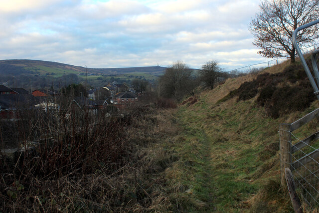
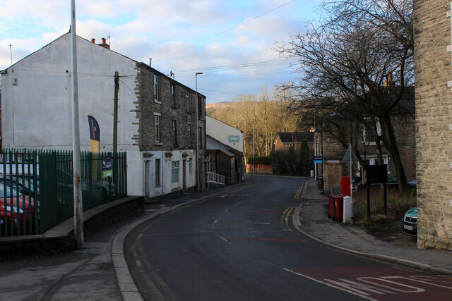
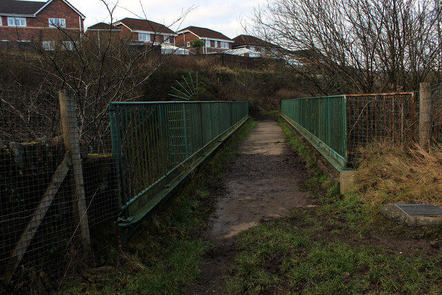
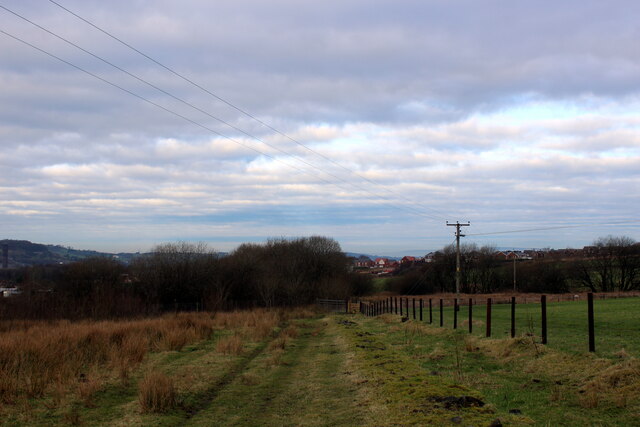
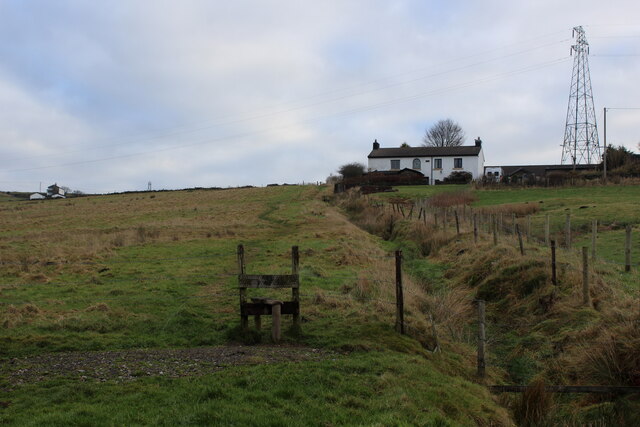
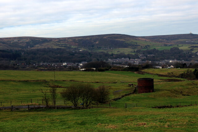
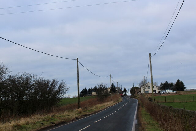
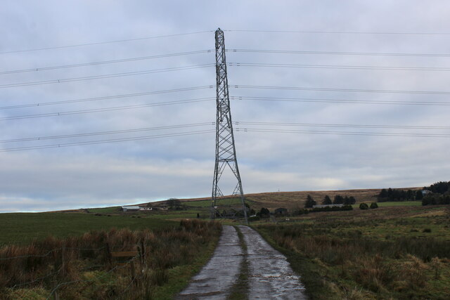
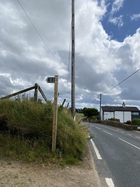
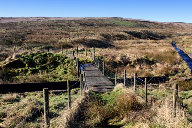
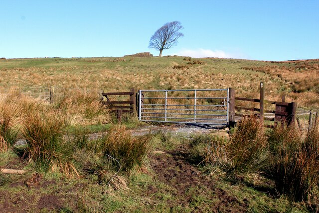
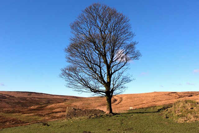
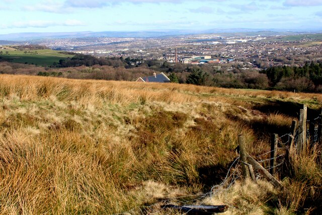
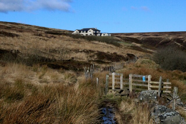
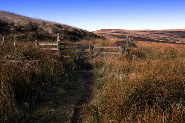
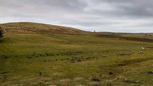
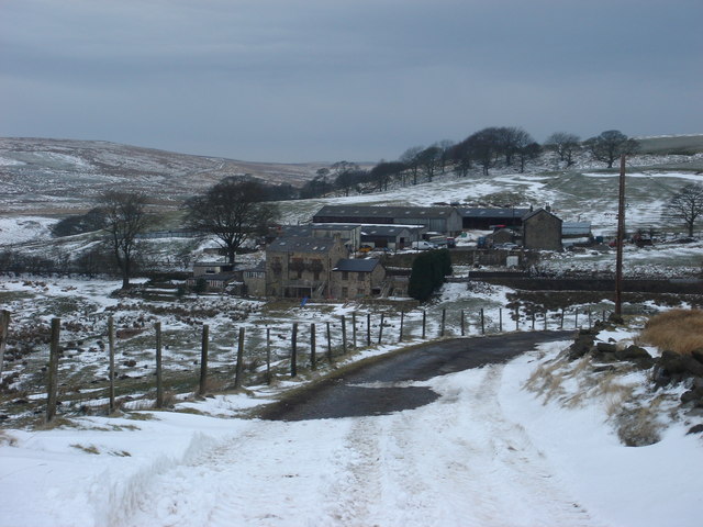
Bull Hill is a small village located in Lancashire, England. Situated in the picturesque Ribble Valley, Bull Hill is known for its charming countryside views and historic buildings. The village is surrounded by rolling hills and lush greenery, making it a popular destination for hikers and nature enthusiasts.

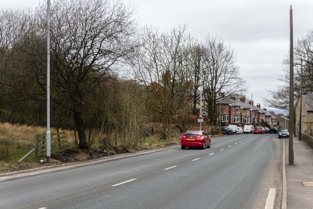
Bull Hill is home to a tight-knit community of residents who take pride in their village's heritage and traditions. The village features a quaint town center with a few shops and local businesses, as well as a small church that dates back to the medieval period.

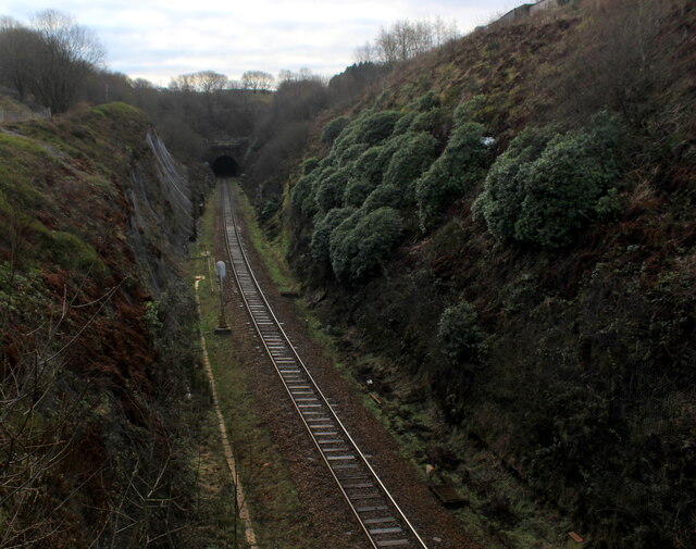
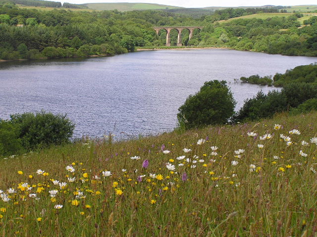
One of Bull Hill's most notable landmarks is the Bull Hill Viaduct, a stunning railway bridge that spans the valley and offers panoramic views of the surrounding countryside. The viaduct is a popular spot for photographers and visitors looking to appreciate the beauty of the Lancashire landscape.

Overall, Bull Hill offers a peaceful and idyllic setting for those looking to escape the hustle and bustle of city life and immerse themselves in the natural beauty of the English countryside.

If you have any feedback on the listing, please let us know in the comments section below.

Bull Hill Images

Images are sourced within 2km of 53.669113/-2.4500909 or Grid Reference SD7019. Thanks to Geograph Open Source API. All images are credited.

Footpath heading for Sough, Darwen Follows the railway very closely - so closely in fact, that it is a squeeze between hedge vegetation and the rail boundary wall.
Footpath heading for Sough, Darwen
Follows the railway very closely - so closely in fact, that it is a squeeze between hedge vegetation and the rail boundary wall.
Causeway Street, Darwen
Footbridge over the Blackburn/Manchester Railway Line Crosses a deep cutting just north of the Sough Tunnel - part of the Ribble Valley Line between Manchester and Clitheroe, via Blackburn
Footbridge over the Blackburn/Manchester Railway Line
Crosses a deep cutting just north of the Sough Tunnel - part of the Ribble Valley Line between Manchester and Clitheroe, via Blackburn
Sough Tunnel North portal of the mile long Sough Tunnel - on the Ribble Valley Line between Clitheroe and Manchester, via Blackburn.
Sough Tunnel
North portal of the mile long Sough Tunnel - on the Ribble Valley Line between Clitheroe and Manchester, via Blackburn.
Footpath above the Sough Tunnel Footpath heading towards Darwen, while directly below in the bowels of the earth is the Sough Railway Tunnel
Footpath above the Sough Tunnel
Footpath heading towards Darwen, while directly below in the bowels of the earth is the Sough Railway Tunnel
Ascending towards Plantation Cottage Five public footpaths meet beside the white building ahead.
Ascending towards Plantation Cottage
Five public footpaths meet beside the white building ahead.
Ventilation Shaft above Sough Tunnel Serves the mile long Sough Railway Tunnel on the Ribble Valley Line between Manchester and Clitheroe, via Blackburn
Ventilation Shaft above Sough Tunnel
Serves the mile long Sough Railway Tunnel on the Ribble Valley Line between Manchester and Clitheroe, via Blackburn
Roman Road Long straight road upon which vehicles can attain high speeds - seen here heading towards Blacksnape
Roman Road
Long straight road upon which vehicles can attain high speeds - seen here heading towards Blacksnape
Access to Lower Aushaw Heading across rough pasture from Roman Road
Access to Lower Aushaw
Heading across rough pasture from Roman Road
Footpath sign
Footpath sign
Footbridge over the Upper Reaches of Cadshaw Brook The brook is contained in a purpose built channel as it drains off Turton Moor.
The footbridge is in a state of rot and decay, walkers should approach with care - it will be only a matter of time when some unfortunate individual will crash through into the waters below.
Footbridge over the Upper Reaches of Cadshaw Brook
The brook is contained in a purpose built channel as it drains off Turton Moor. The footbridge is in a state of rot and decay, walkers should approach with care - it will be only a matter of time when some unfortunate individual will crash through into the waters below.
Witton Weavers Way ascending towards Sugar Leach The long distance footpath passes through the gate, before heading uphill over soggy ground.
Witton Weavers Way ascending towards Sugar Leach
The long distance footpath passes through the gate, before heading uphill over soggy ground.
Sugar Leach Ruin on the edge of Darwen Moor - possibly the remains of an isolated hill farm.
Sugar Leach
Ruin on the edge of Darwen Moor - possibly the remains of an isolated hill farm.
A View over Darwen Looking north from the flanks of Wives' Hill
A View over Darwen
Looking north from the flanks of Wives' Hill
Witton Weavers Way approaching The Lords House The long distance footpath ploughs a very soggy and wet course on the edge of Darwen Moor
Witton Weavers Way approaching The Lords House
The long distance footpath ploughs a very soggy and wet course on the edge of Darwen Moor
Witton Weavers Way on the Edge of Darwen Moor
Turton Moor View looking across pastures beneath Turton Moor.
Turton Moor
View looking across pastures beneath Turton Moor.
A666 The A666 above Darwin.
A666
The A666 above Darwin.
Show me another place!

Bull Hill is located at Grid Ref: SD7019 (Lat: 53.669113, Lng: -2.4500909)

Unitary Authority: Blackburn with Darwen

Police Authority: Lancashire

What 3 Words

///stiff.code.dark. Near Darwen, Lancashire

Nearby Locations

Bull Hill

Related Wikis

Cadshaw

Cadshaw is a village in the unitary borough of Blackburn with Darwen, in Lancashire, England.

Darwen Cemetery

Darwen Cemetery is a public cemetery in the town of Darwen, Lancashire, England, which lies on both sides of Bolton Road with views across Darwen to the...

West Pennine Moors

The West Pennine Moors is an area of the Pennines covering approximately 90 square miles (230 km2) of moorland and reservoirs in Lancashire and Greater...

St Barnabas' Church, Darwen

St Barnabas' Church is on Watery Lane, Darwen, Lancashire, England. It is an active Anglican parish church in the deanery of Blackburn with Darwen, the...

Nearby Amenities

Located within 500m of 53.669113,-2.4500909
Turning Circle
Lat/Long: 53.6668624/-2.4502232
Power: tower
Lat/Long: 53.6681344/-2.4429506
The data included in this document is from www.openstreetmap.org. The data is made available under ODbL.

Have you been to Bull Hill?

Leave your review of Bull Hill below (or comments, questions and feedback).